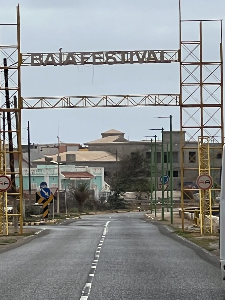
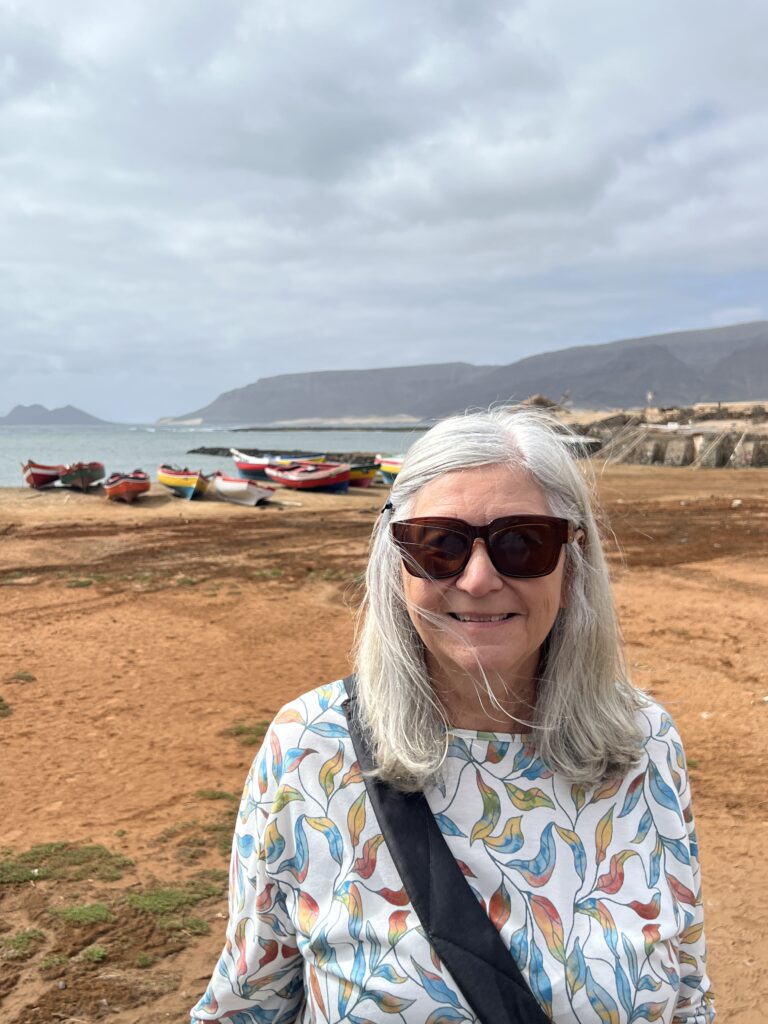
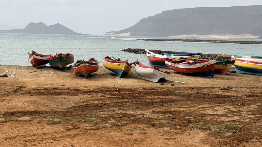
Day 90 Friday June 5th (30 days to go) — Today we stayed with the plan of doing Oceania Excursions while in western Africa. Today’s excursion was named Highlights of Cape Verde (3 1/2 hours) and included a limited amount of walking during stops. We drove to the top of Monte Verde with a photo stop along the way and then on the way back down the mountain. We then drove to Baia das Gatas (Catfish Bay), then a drive along the coast to Praia Grande before driving back to the port. We arrived back at the ship around 11:30am, had some lunch and went walking into the town to take photos. The walk was cut short as the people begging for money increased and we decided to head back to the ship after a couple of hours.
Cape Verde, in Portuguese Cabo Verde, in Cape Verdean Creole Kabu Verdi, officially the Republic of Cabo Verde, is an archipelagic country in the central Atlantic Ocean off the coast of West Africa. It consists of ten volcanic islands with a combined land area of about 4,033 square kilometres (1,557 sq mi). These islands lie between 600 and 850 kilometres (370 and 530 miles) west of Cap-Vert, the westernmost point of continental Africa, after which they are named. Cape Verde forms part of the Macaronesia ecoregion, along with the Azores, the Canary Islands, Madeira and the Savage Isles.
The archipelago was uninhabited until the 15th century, when Portuguese explorers settled the islands, establishing one of the first European settlements in the tropics. Its strategic position gave it a significant role in the transatlantic slave trade during the 16th and 17th centuries; the islands saw rapid economic growth driven by the trade of manufactured goods, rum, and cloth for African slaves, ivory, and gold. By the mid 19th century, increased foreign competition, persistent drought, and the decline of the slave trade led to economic decline and emigration; Cape Verde gradually recovered as an important commercial centre and stopping point for major shipping routes.
Cape Verde became independent in 1975. Since the early 1990s, it has been a stable representative democracy and has remained one of the most developed and democratic countries in Africa. Lacking natural resources, its developing economy is mostly service-oriented, with a growing focus on tourism and foreign investment. With a population of around 491,233 (as of 2021), Cape Verde is among the least populous countries in Africa. The Cape Verdean people trace their ancestry primarily to West African populations, with additional contributions from early Portuguese settlers and other groups who came to the islands during the Atlantic era. A sizeable diaspora exists across the world, especially in the United States and Portugal, considerably outnumbering the inhabitants on the islands. Cape Verde is a member state of the African Union.
Cabo Verde consists of nine inhabited islands, one uninhabited island, and various islets, located between 14°30′ and 17°30′ N and between 22°30′ and 25°30′ W. The archipelago is divided into the Barlavento (Windward) group to the north and the Sotavento (Leeward) group to the south. The Barlavento Islands include Santo Antão, São Vicente, Santa Luzia (which is uninhabited), São Nicolau, Sal, and Boa Vista, together with the islets of Raso and Branco. The Sotavento Islands include Maio, Santiago, Fogo, and Brava and the three islets called the Rombos—Grande, Luís Carneiro, and Cima.
The official language is Portuguese, while the recognized national language is Cape Verdean Creole (Crioulo), which is spoken by the vast majority of the population. As of the 2021 census, the most populous islands were Santiago (269,370)—which hosts the country’s capital and largest city, Praia—São Vicente (74,016), Santo Antão (36,632), Fogo (33,519) and Sal (33,347). The largest cities are Praia (137,868), Mindelo (69,013), Espargos (24,500) and Assomada (21,297).
The terrain of the Cabo Verde islands varies from the geologically older, flatter islands in the east and the newer, more mountainous islands in the west. The eastern islands of Boa Vista, Maio, and Sal, for example, have been heavily eroded by the wind over time and are very sandy and flat. The others are very rocky, jagged, and mountainous. Fogo (“Fire”) Island’s active volcano, Pico, rises 9,281 feet (2,829 metres) and is the highest point of the archipelago. On the northern island of Santo Antão, Tope de Coroa reaches 6,493 feet (1,979 meters).
There are few permanent watercourses in the islands, which generally suffer from seasonal rains, cyclical drought, and chronic water shortages. When precipitation does occur, it is often in the form of torrential downpours that cause significant damage through water erosion, flooding, and the destruction of containment dams.
Cabo Verde’s soils, primarily volcanic or igneous in origin, are generally shallow, coarse, and rocky. Almost a quarter of the land area is rock of volcanic origin; basalt is a common type. More than three-fifths of the land is arid and lacking in humus and thus is suitable only for rough grazing; sand and limestone outcrops are common in these areas. Only a fraction of the total area has proper humus and sufficient water supplies for significant irrigation agriculture. Soil loss through wind and water erosion is a serious challenge. Since independence a nationwide campaign to prevent erosion—e.g., by promoting reforestation—has been under way.
Generally moderate, the climate is characterized by stable temperatures with extreme aridity. February is the coolest month, with temperatures in the low 70s F (low 20s C). August and September are the hottest and wettest months, with temperatures in the low 80s F (high 20s C). The islands are profoundly affected by the two-season nature of the intertropical convergence zone (ITCZ), a belt of converging trade winds and rising air that encircles Earth near the Equator. Winter winds from Europe are cool and dry, but in the summer months the ITCZ front moves to the north and the Guinea Current brings more heat and moisture, which can result in increased precipitation, especially in the higher elevations of the more mountainous islands. Precipitation levels are a function of how far north the ITCZ progresses and how much tropical moisture it carries and are, as a result, unpredictable: years may go by with little or no precipitation. The clashing fronts near Cabo Verde generate hurricanes that travel westward across the Atlantic Ocean to the Caribbean and the eastern coast of the United States.
The overwhelming majority of the population of Cabo Verde is of mixed European and African descent and is often referred to as mestiço or Crioulo. There is also an African minority, which includes the Fulani (Fulbe), the Balante, and the Mandyako peoples. A small population of European origin includes those of Portuguese descent (especially from the Algarve, a historical province, and the Azores islands), as well as those of Italian, French, and English descent. There is also a substantial number that traces its roots to Sephardic Jews who were expelled from the Iberian Peninsula in the 15th and 16th centuries during the Inquisition and were among the islands’ early settlers, or to other groups of Jews—mainly tradesmen—who arrived in the 19th century from Morocco.
Although Portuguese is the official language and is used in formal situations, Crioulo, one of the oldest of the Portuguese creole languages, is by far the most widely spoken. The different dialects of Crioulo that exist on the islands may be broadly divided into Sotavento and Barlavento groups. There has been a struggle to legitimate and regularize Crioulo orthography in a dictionary and in schools.
The majority of the population is Roman Catholic, but a flourishing Protestant mission is based in Praia with a publishing venture in Fogo. In practice, Catholicism is often enriched with African elements. The celebration of saints’ days, for example, may be accompanied by drumming, processionals, masks, and dancing in African styles, particularly on Santiago. Although many Cabo Verdeans can trace Jewish ancestry, virtually none are practicing.
The proportion of Cabo Verdeans living in rural areas has declined consistently since the mid-20th century. By the early 2000s the majority of the population was urban and concentrated particularly in the centres of Praia and Mindelo. About one-third of the population is rural, living in small villages and individual households in remote fertile valleys or in coastal towns and villages.
After independence, the government played a central role in Cabo Verde’s economy and created several state-owned businesses, which ultimately was a limiting factor in the country’s economic growth. Dramatic changes to the Cabo Verdean economic structure, especially from the mid-1990s, have since guided the country toward a market economy. As a result of these reforms, the number of state-owned businesses declined significantly; numerous interests such as utilities companies, banks, tourism-sector entities, and other enterprises had been privatized by the early 2000s.
Cabo Verde’s service-oriented economy is centred on commerce, trade, transport, and public services. The revenue from the country’s international airports, emigrants’ remittances, and, increasingly, tourism are all important and have enabled the balance of payments to stay generally positive despite imports’ far exceeding exports.
Agriculture in Cabo Verde is limited by the severe and recurrent droughts that affect the islands. The harsh conditions have long posed serious challenges to agricultural pursuits, resulting in irregular crop output and periodic bouts of large-scale famine. Poor grazing practices for sheep and goats and little effort toward reforestation and water conservation under the centuries of Portuguese colonialism only aggravated this poor ecological condition. The postcolonial governments have made a major effort to plant drought-resistant acacia trees and build dikes, retaining dams, and terracing in order to curb intense water erosion, improve water retention in the subsoil, and improve and expand the limited areas available for subsistence and small-scale commercial farming.
Crops grown for local consumption include corn (maize), sugarcane, castor beans, broad beans, potatoes, and peanuts (groundnuts). There is a heavy reliance on imported foodstuffs, however, and the importation of food has long been an absolute necessity. Although Cabo Verde’s fishing capabilities are not fully exploited, fish is important for both domestic consumption and export, and both tuna and lobster are caught.
Use of firewood as a source of fuel has placed a strain on Cabo Verde’s woodland resources. While the use of wood fuel continued to increase in the late 20th century, the level of forested area on the islands was simultaneously on the increase because of governmental reforestation efforts. At the beginning of the 21st century, about one-fifth of Cabo Verde was forested.
Cabo Verde has few natural resources. Supplies of sand, limestone, puzzolane (a cement or plaster additive), and salt are of some commercial and utilitarian value. The very limited water supply is a grave liability, and there are no domestic sources of energy except firewood, wind, and sunlight. The country on the whole relies on imported petroleum fuel; on the local level, most domestic energy needs are met by the use of firewood, although the resulting demand placed upon these resources poses an environmental threat. Experimental approaches toward energy supply are under investigation, and the potential of Cabo Verde’s renewable energy resources has been recognized.
Fish, salt, puzzolane, rum, animal hides, bananas, and coffee are exported, but none in very large quantities. As Cabo Verde is heavily dependent on imported food, its principal imports include cereals, fruits and vegetables, beverages, and other foodstuffs. Fuel and building materials are also important. Portugal and Spain are the country’s most important trade partners, although it also maintains significant trade linkages with other countries, such as the Netherlands and the United States.
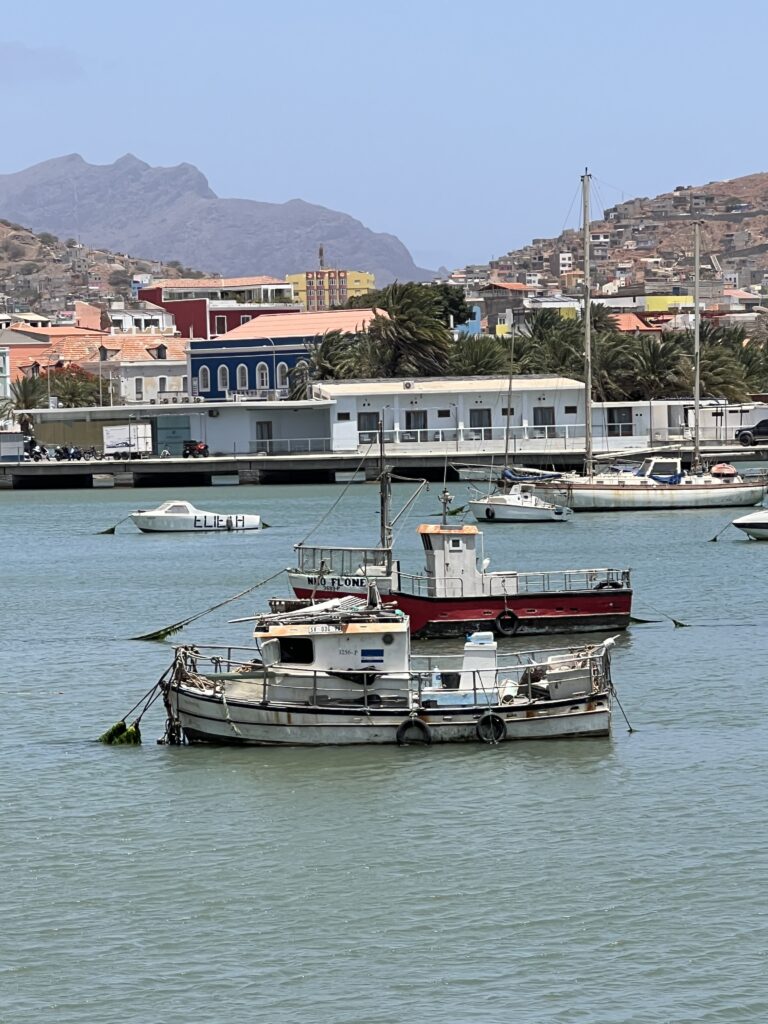
The majority of roads in Cabo Verde are paved, and there are no railways. All the inhabited islands have airports. There is international air service to destinations such as Lisbon, Boston, Rome, Paris, Brazil, and points in western Africa. Within the islands, regular ferries and planes provide local service. There is a small national shipping line and a national airline, Transportes Aéreos de Cabo Verde. Porto Grande, the country’s primary port, is located at Mindelo, on São Vicente; other ports include those located at Praia, on Santiago, and Palmeira, on Sal.
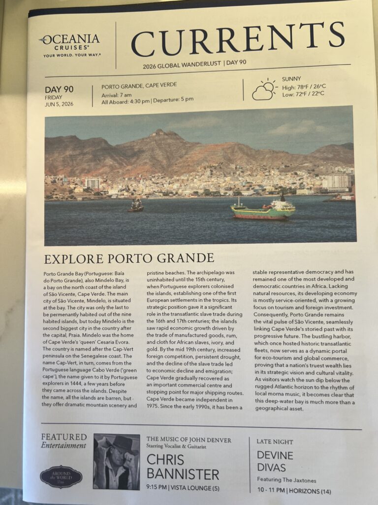


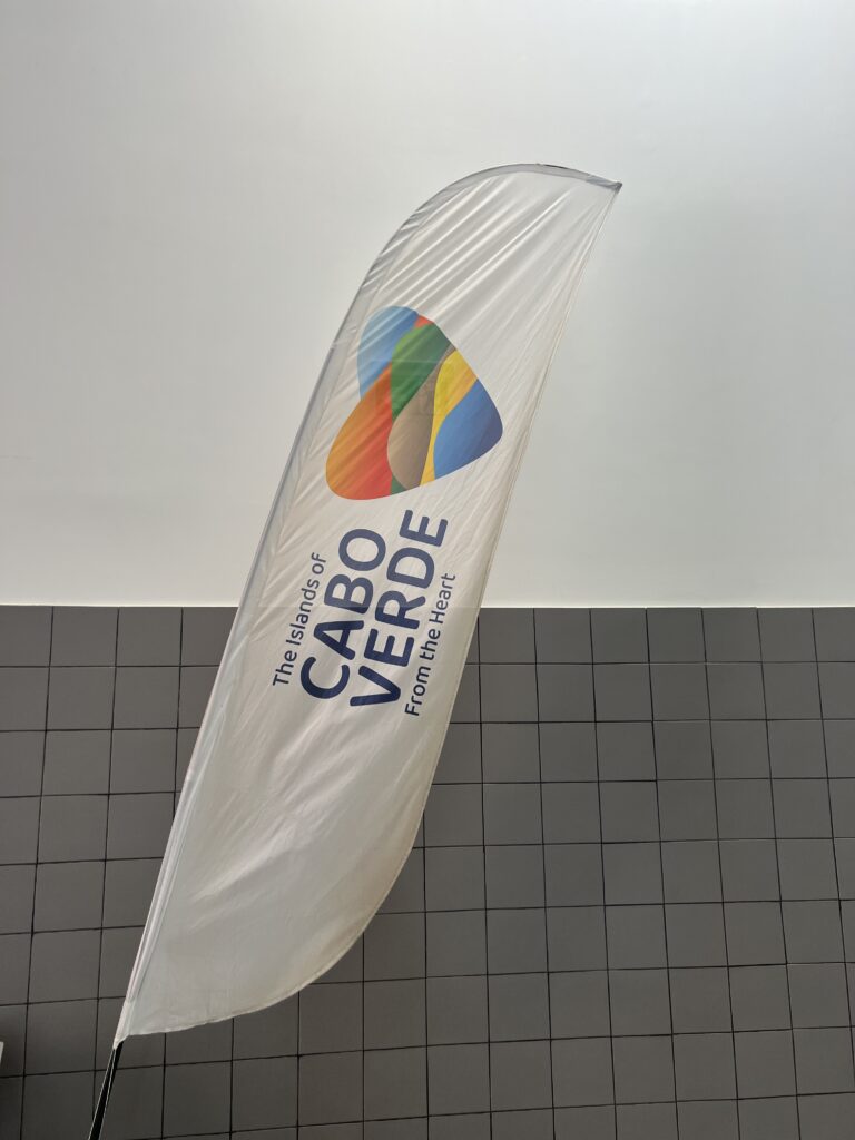
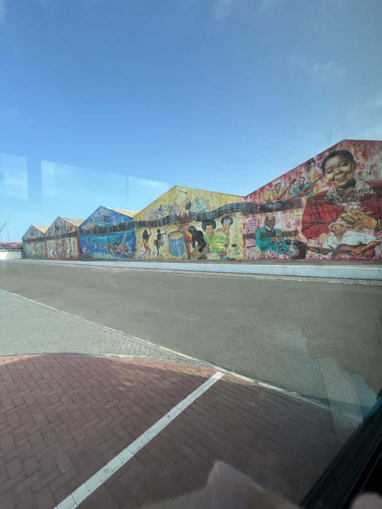
Photo of warehouses in the port area as we left on the excursion bus
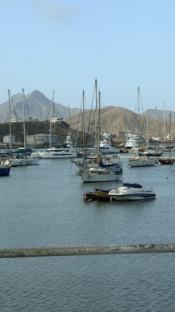
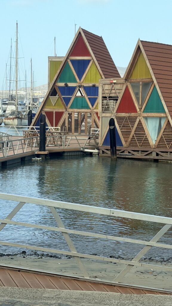
Views of the harbor as we drove by on the excursion
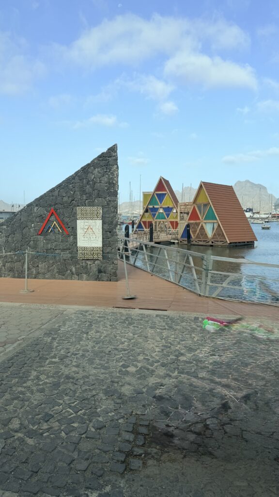
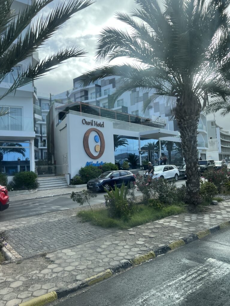
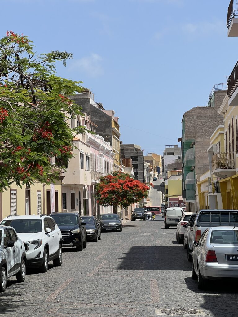
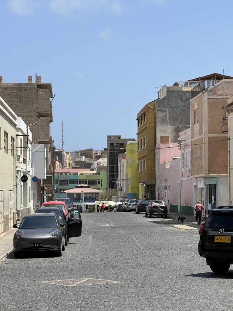
Driving through the city of Mindelo
Mindelo, city and main port of Cape Verde, in the Atlantic Ocean. It lies on the northwest shore of São Vicente Island, about 560 miles (900 km) off the West African coast. The city’s deepwater harbour on Porto Grande Bay is an important refueling point for transatlantic freighters. Mindelo port has been a submarine cable station since 1875. A new shipyard, financed by a loan from the European Investment Bank, was completed in the early 1980s. Pop. (2005 est.) 70,000.
Mindelo is also the seat of the parish of Nossa Senhora da Luz, and the municipality of São Vicente. The city is home to 93% of the entire island’s population and is Cape Verde’s second most populous city and largest city in Barlavento Islands. Mindelo is also considered the cultural capital of Cape Verde, known for its colorful and animated carnival celebrations, with roots in Portuguese traditions later influenced by the Brazilian culture.
A settlement at Mindelo was founded in 1793 by the Portuguese. It was initially named Nossa Senhora da Luz, renamed Leopoldina around 1820 after the Queen consort. In 1838 it was renamed Mindelo after the 1832 Landing at Mindelo, north of Porto. It became a coal deposit for ships of the British East India Company in 1838, followed by the Royal Mail Steam Packet Company in 1850. The settlement became a town (vila) in 1858, and had 1,400 inhabitants then. It became a city (cidade) in 1879, and had 3,717 inhabitants then. In 1884 a submarine communications cable was laid between Europe, Africa, India and North America, making Mindelo an important communications centre for the British Empire.
From the beginning of the 20th century the port of Mindelo lost its importance for transatlantic navigation. Causes for this were the shift from coal to oil as fuel for ships, the rise of competing ports like Dakar and the Canary Islands and the lack of investment in port infrastructure. Between 1910 and 1940 there were several strikes in Mindelo, and on 7 June 1934 there were riots in the streets of Mindelo, caused by unemployment and poverty. One man was killed; several were injured.
Between 1940 and 1958 three prolonged periods of severe drought, combined with soil erosion and overgrazing, brought famine in Cape Verde. In the whole archipelago, about 45,000 people died and 20,000 people emigrated. Mindelo attracted immigrants, notably from nearby Santo Antão, and continued to grow.
Mindelo was the cultural capital of the Portuguese-speaking world from November 2002 until November 2003.
Mindelo is situated at the Porto Grande Bay, a large natural harbour. The town is surrounded by low mountains: the Monte Cara and the Morro Branco headland to the west, and the Monte Verde to the east. The town is crossed by the river Ribeira de Julião.
The Cesária Évora Airport lies 9 km (6 mi) southwest of Mindelo, near the village São Pedro. Ferries for Santo Antão leave from the port.
Photos of the city of Mindelo as we drove through on the excursion
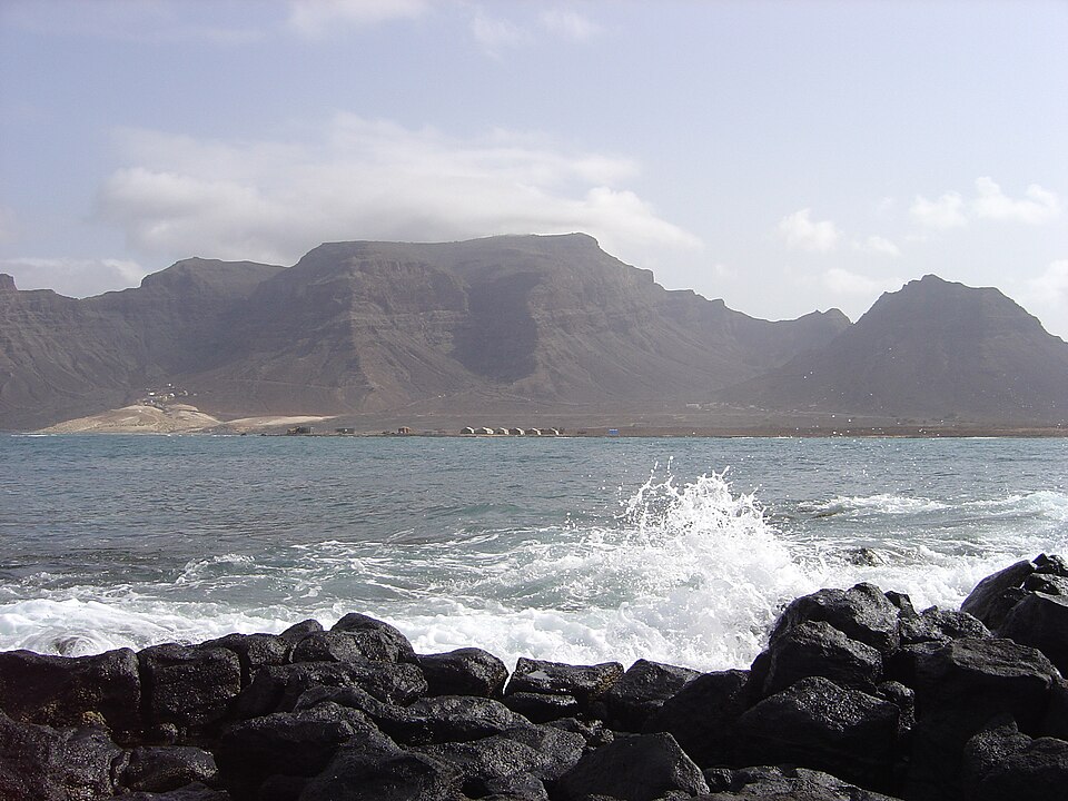
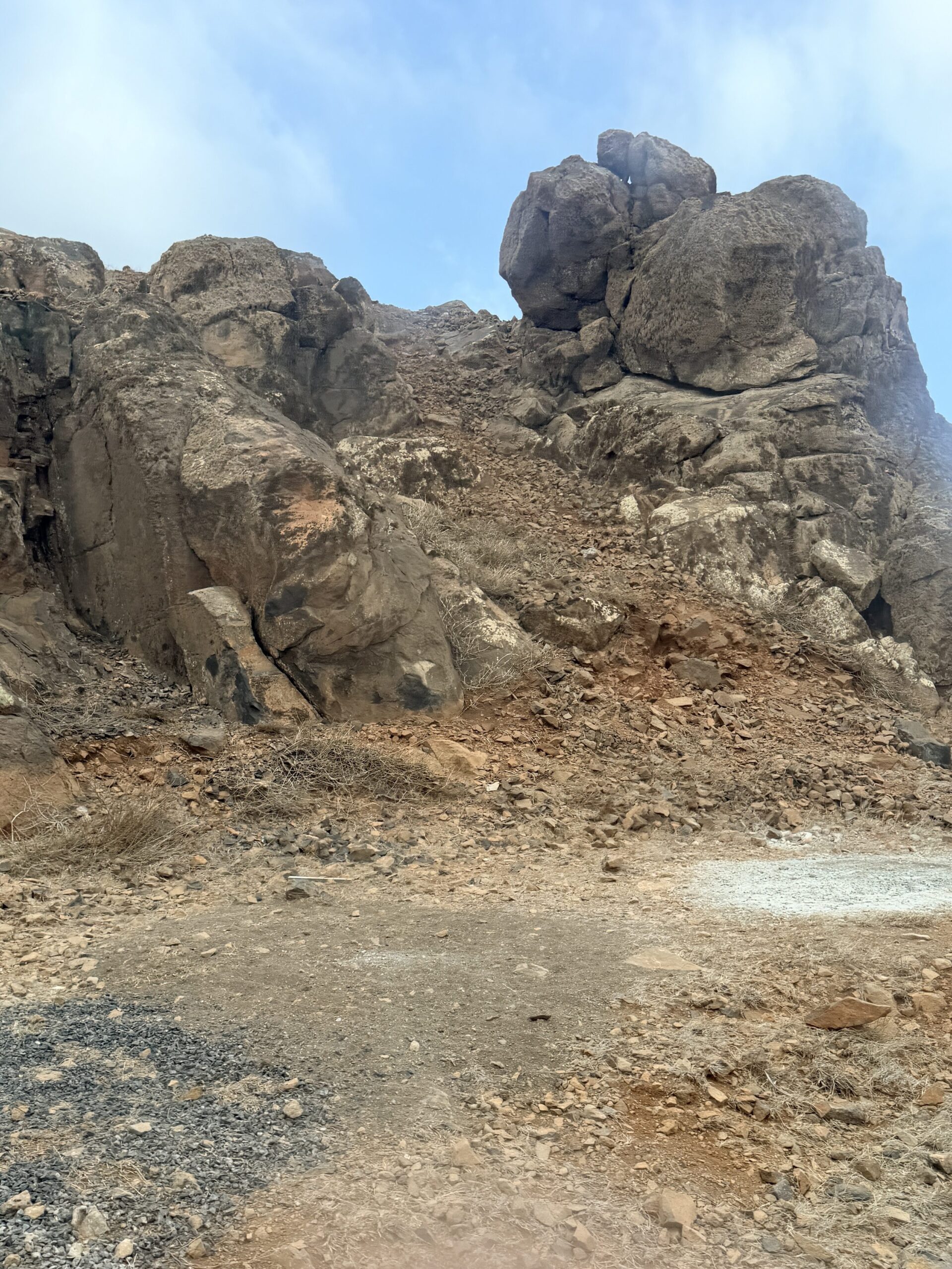
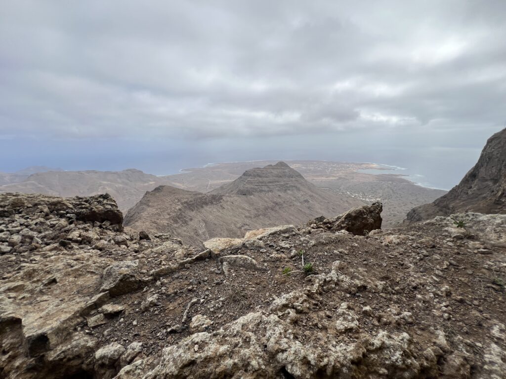
Monte Verde (Portuguese meaning “green mountain”) is a mountain in the eastern part of the island of São Vicente, Cape Verde. At 744 m elevation, it is the island’s highest point. The mountain is located 6 km (4 mi) east of the city center of Mindelo. Climbing to the top is a great adventure, offering amazing views of the island, the city of Mindelo, and the beautiful Atlantic Ocean.
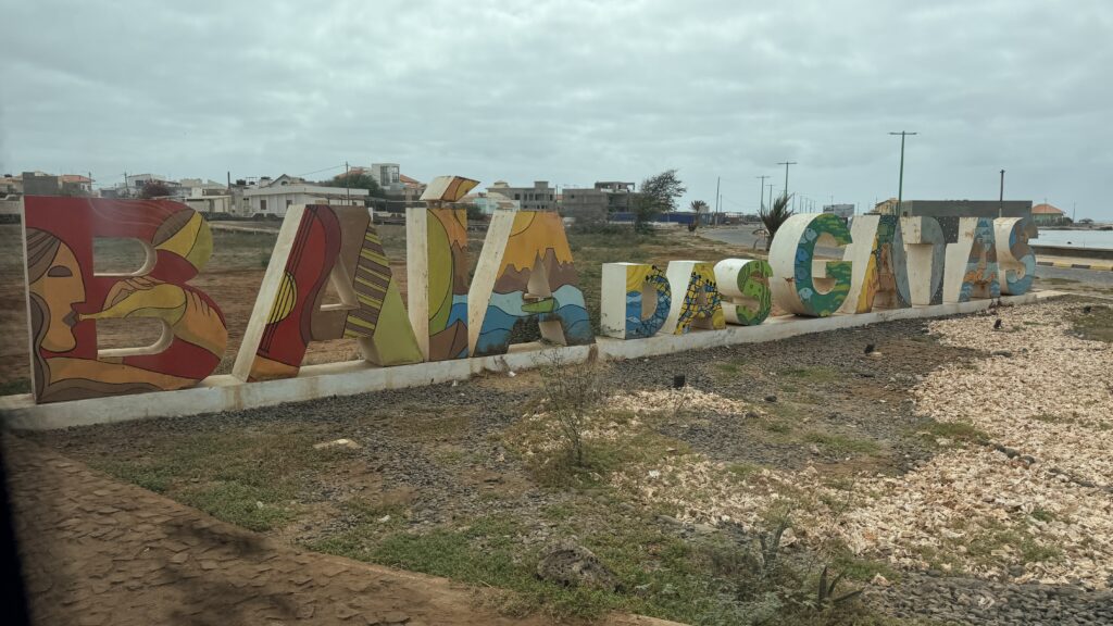
Monte Verde seen from Baía das Gatas (Catfish Bay).
Driving outside the city of Mindelo on the way to Monte Verde
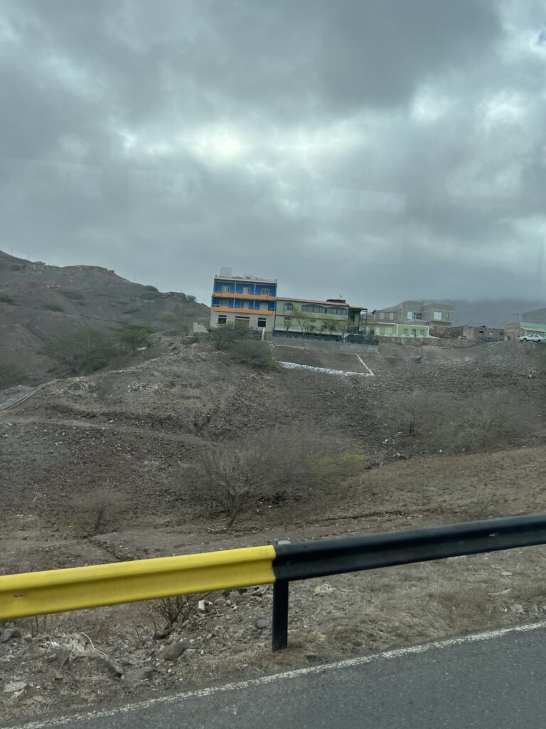
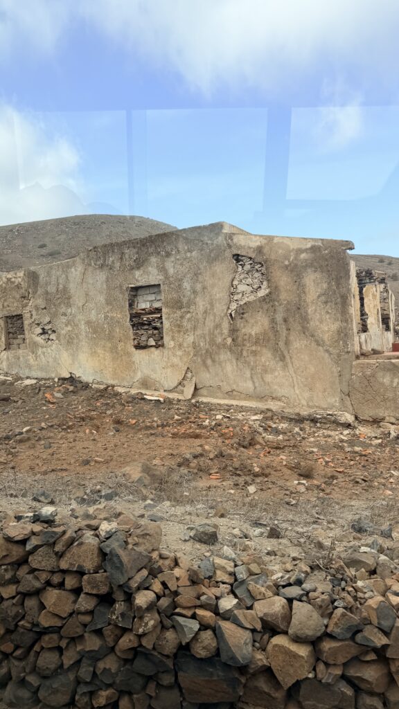
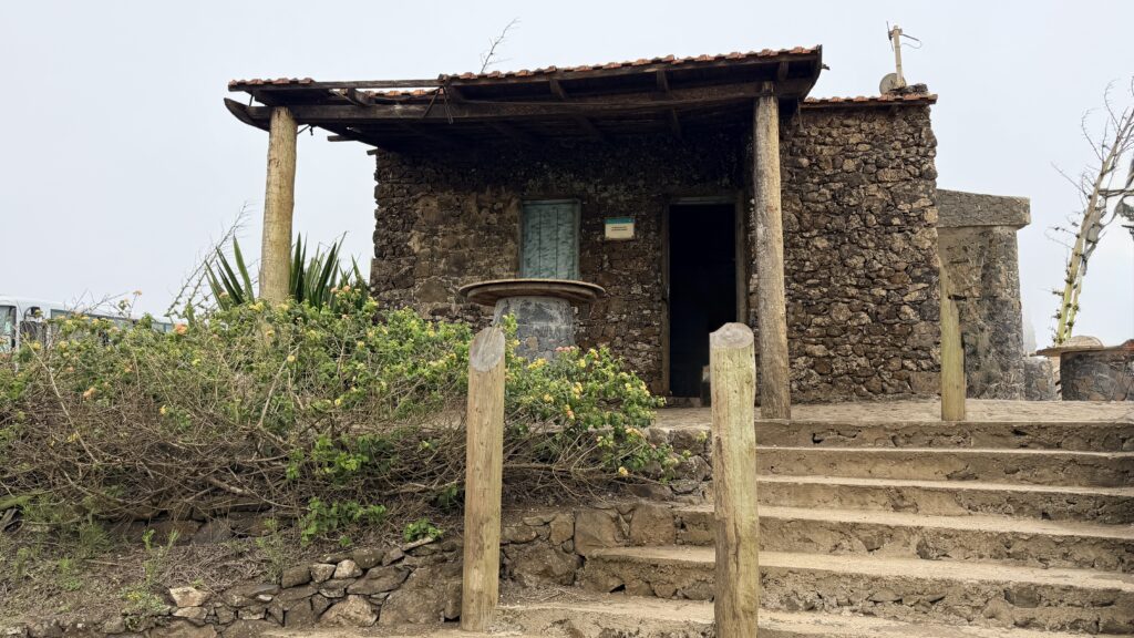
Beginning the climb up Monte Verde. It was a gradual climb as the road zigzagged up the mountain. It was dry and the mountain side was had a number of small homes or buildings.
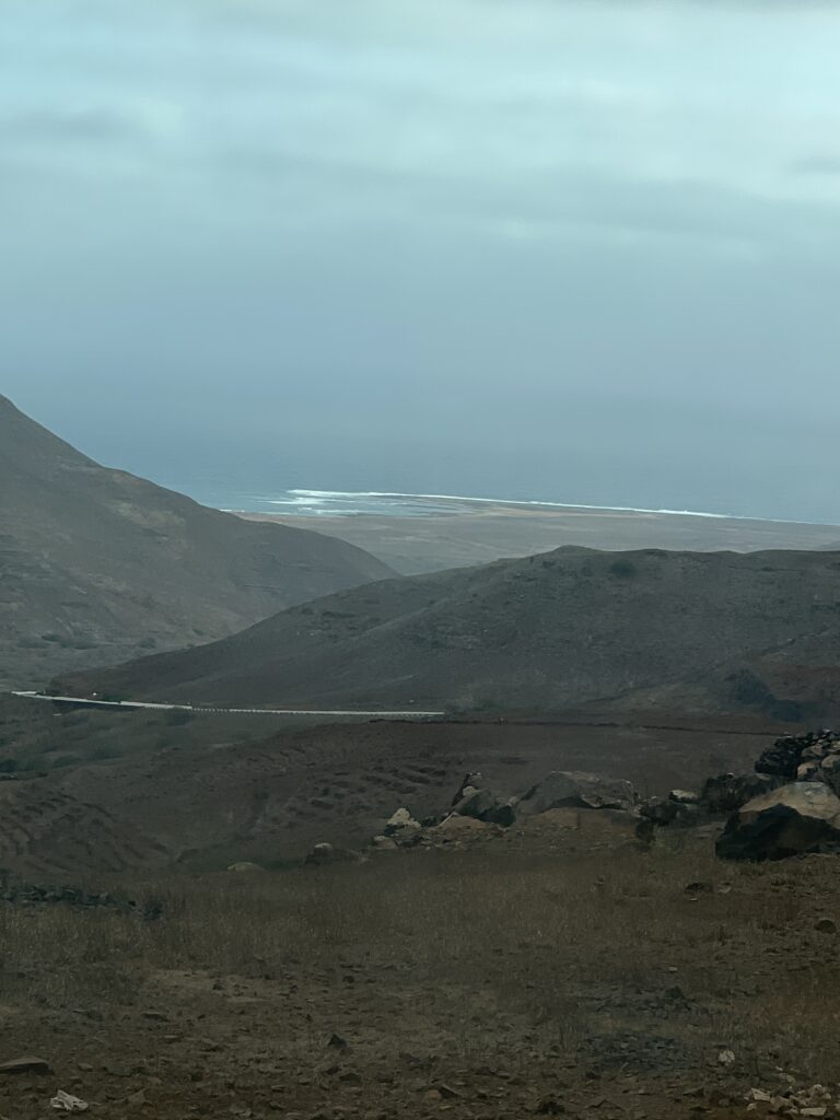
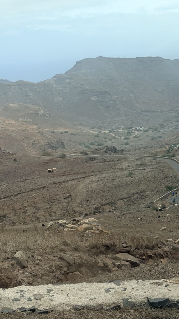
Can see the ocean below as we continue to climb.
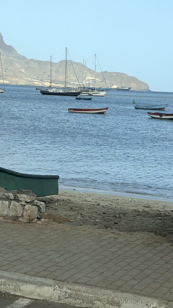
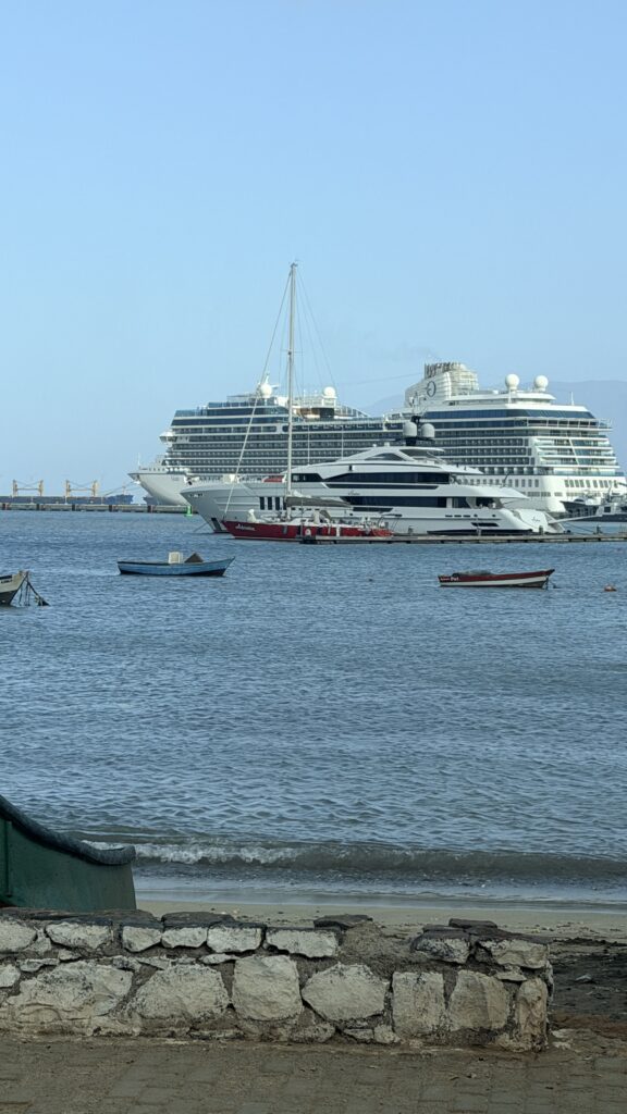
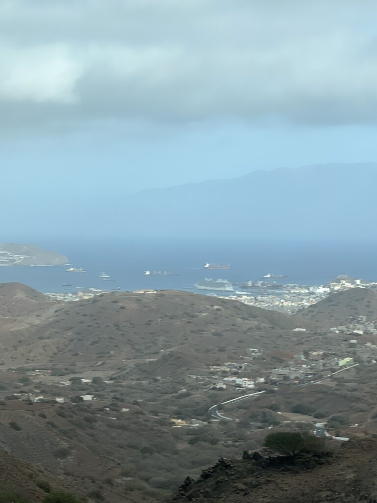
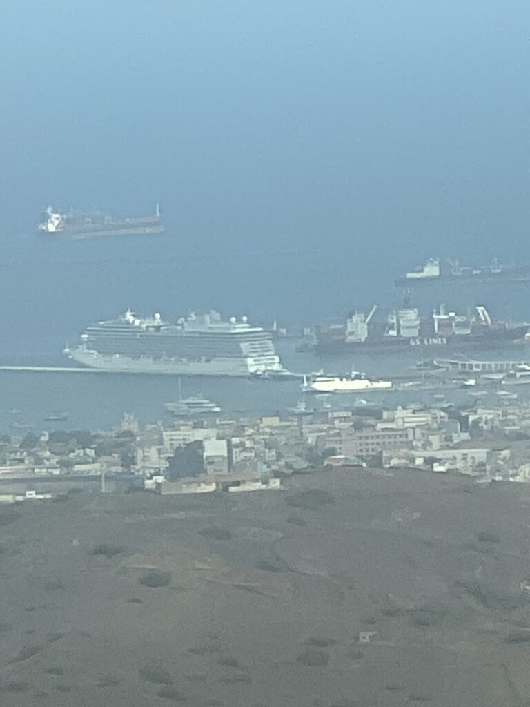
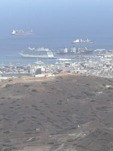
Spotted the cruise ship at the dock and a harbor view
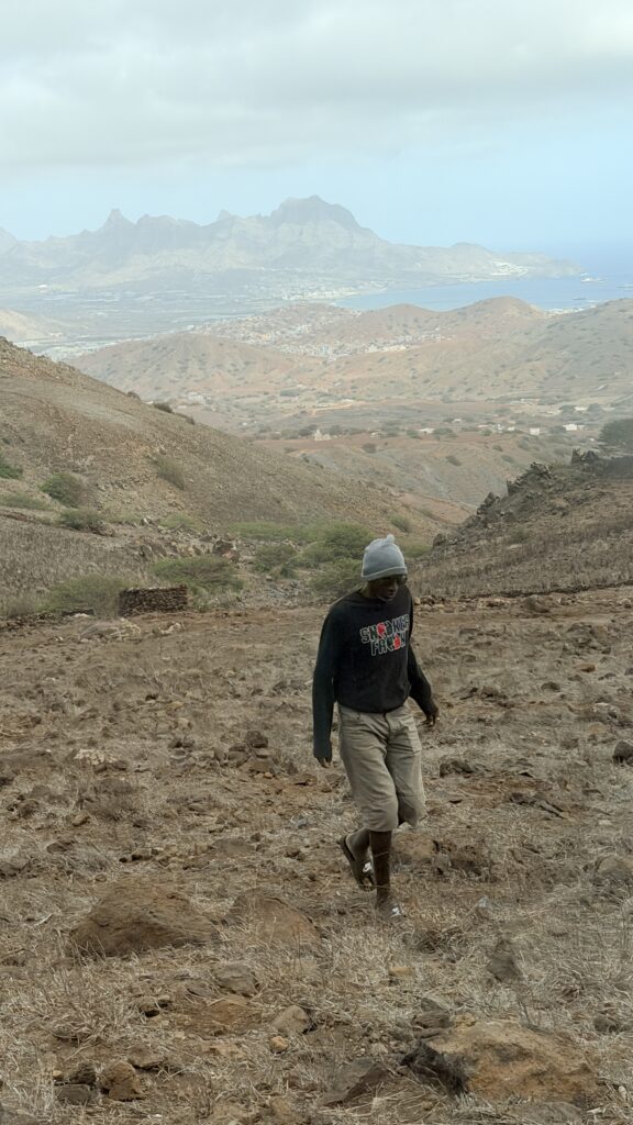
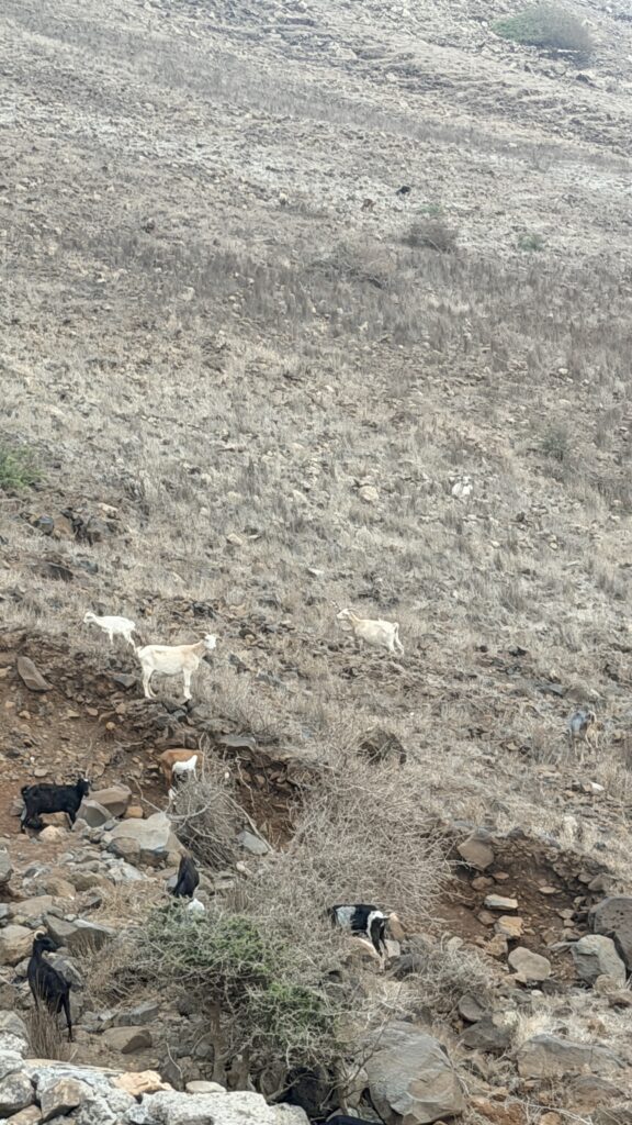
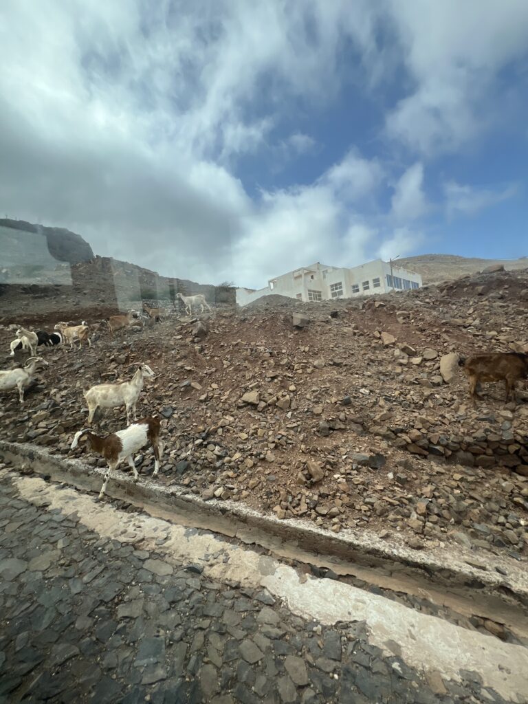
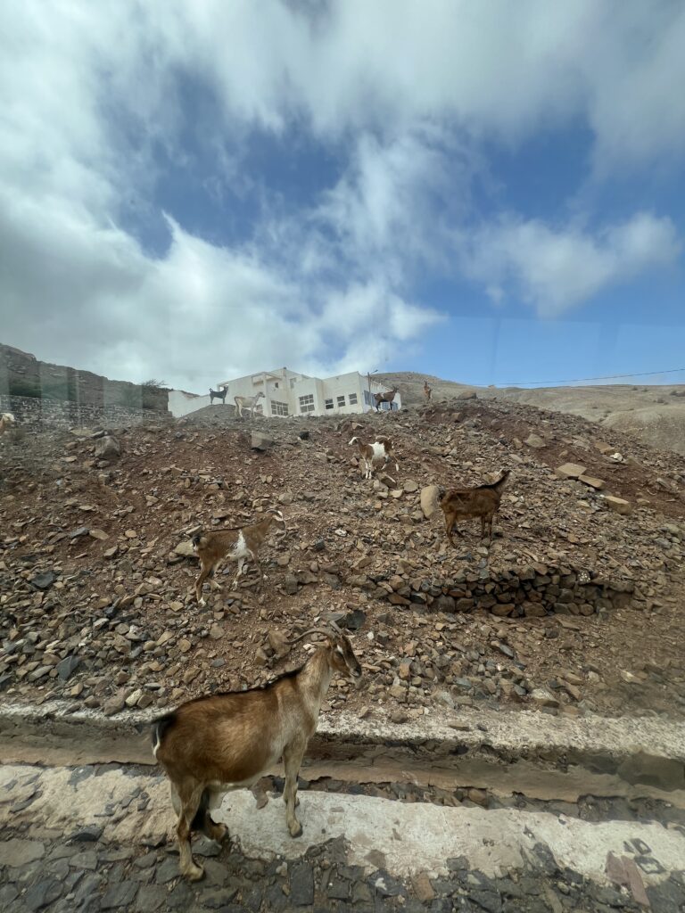
We saw a number of goats on the drive up the mountain
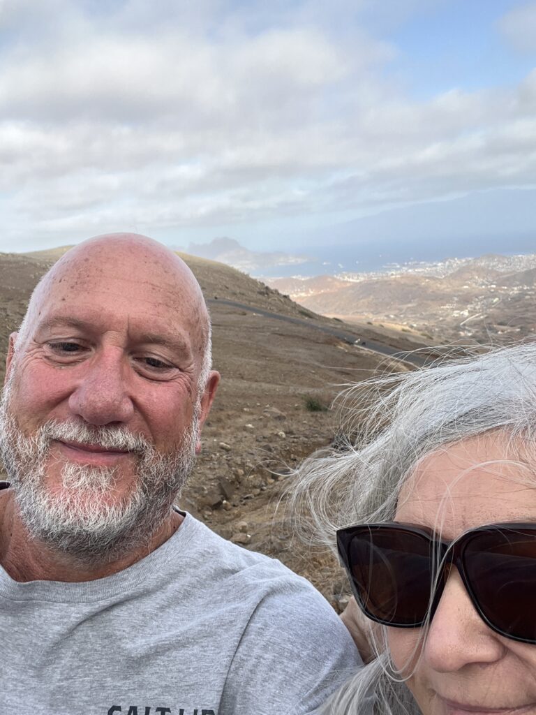
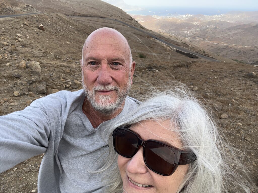
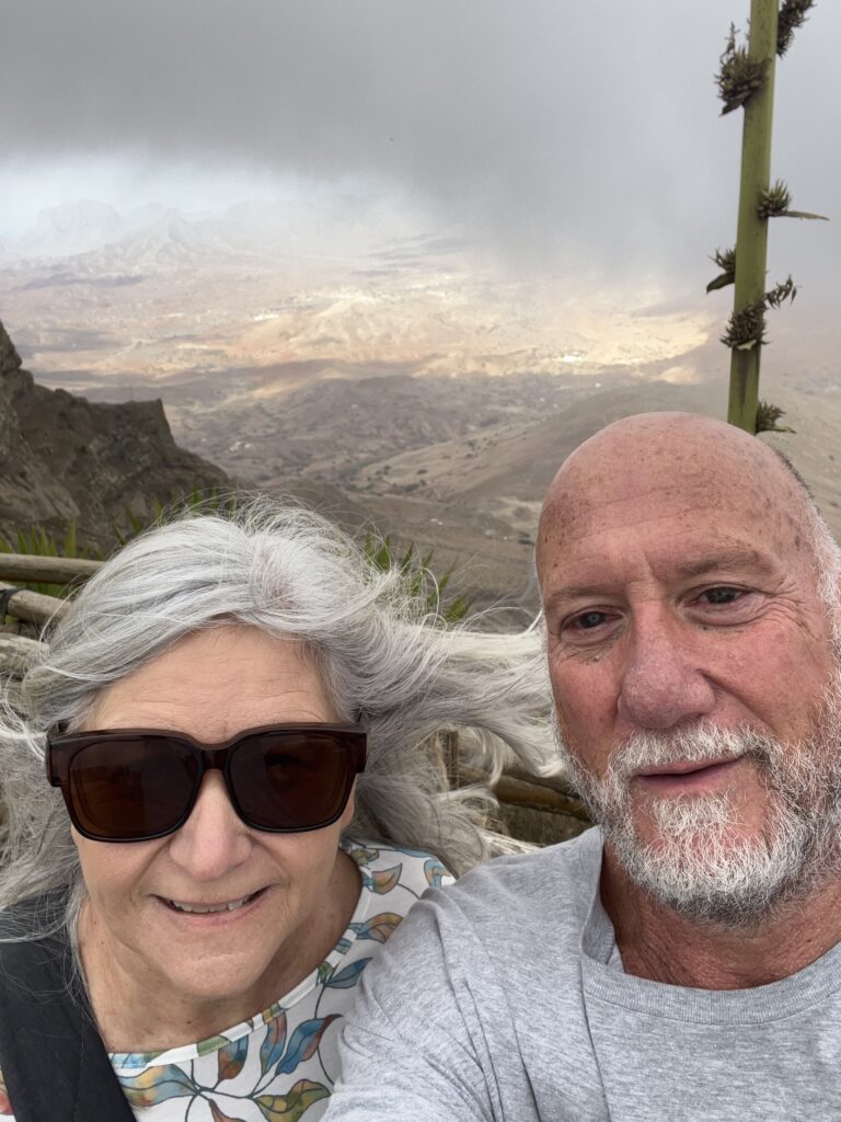
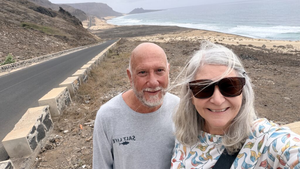
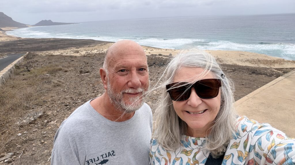
Need to practice the selfie photos 🙂
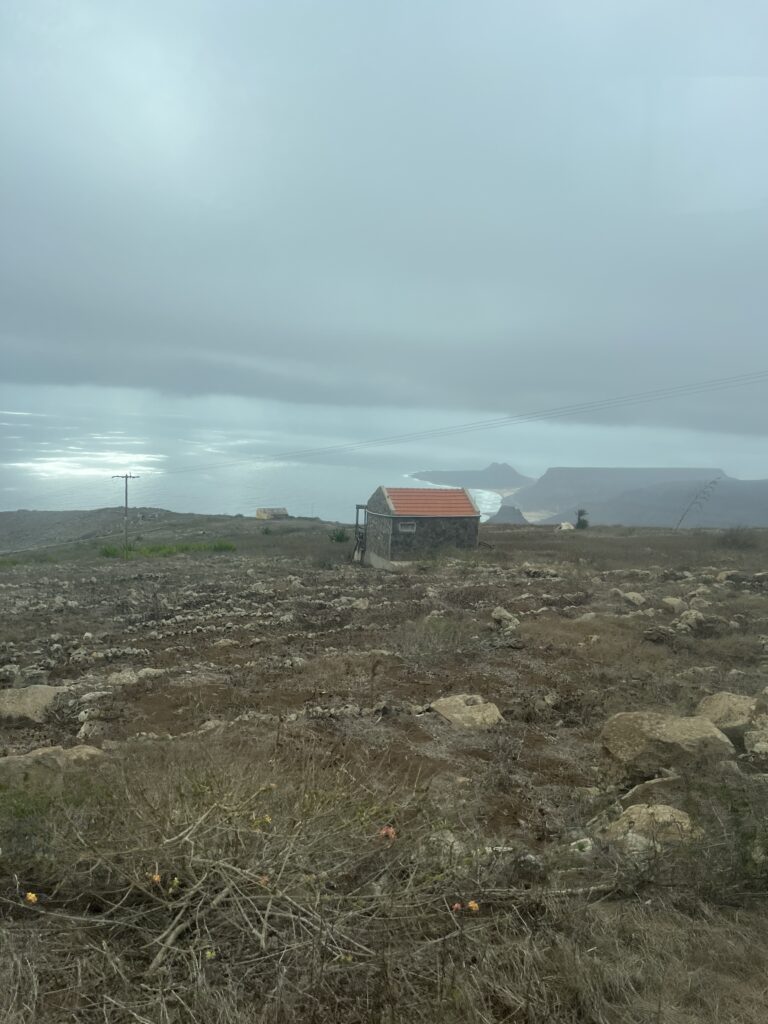
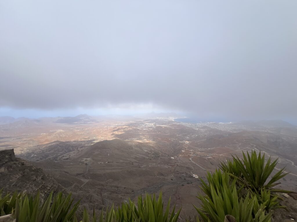
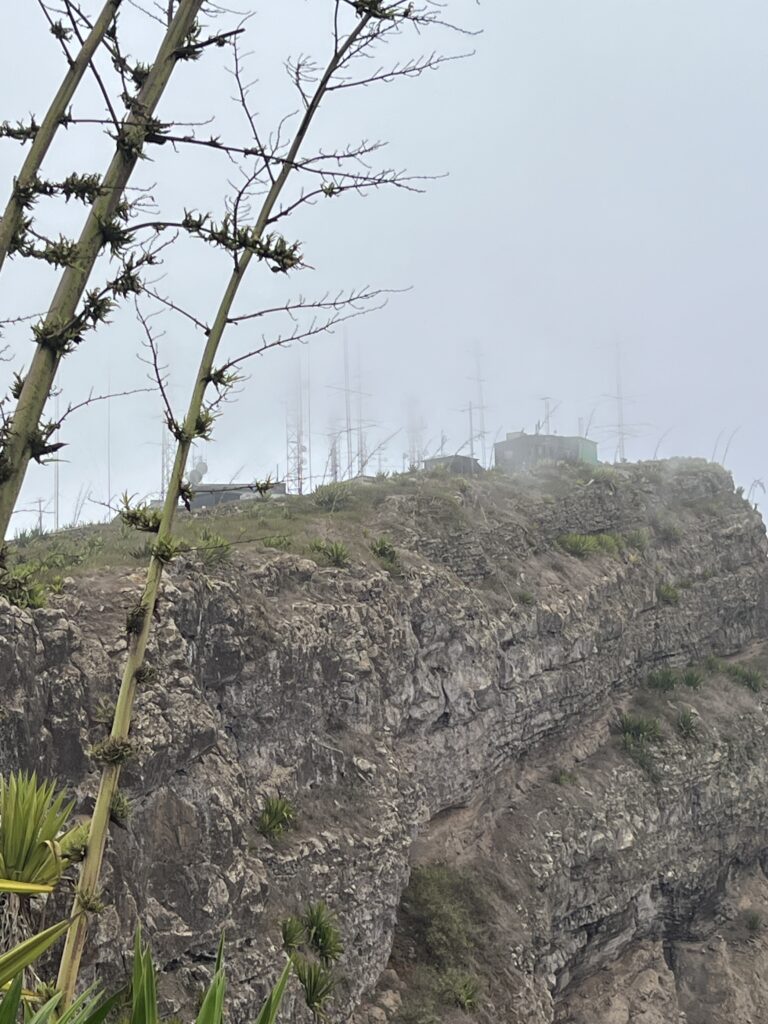
We were in the clouds at the top of the mountain
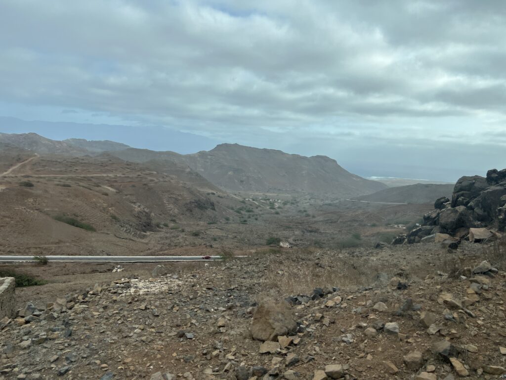
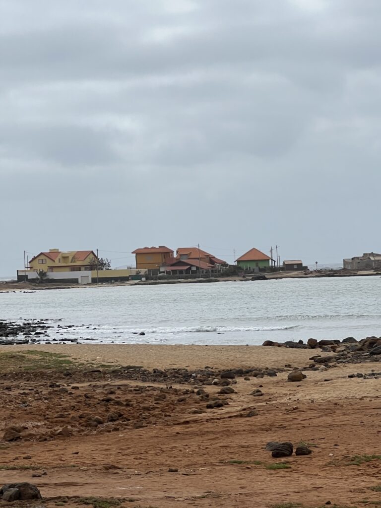
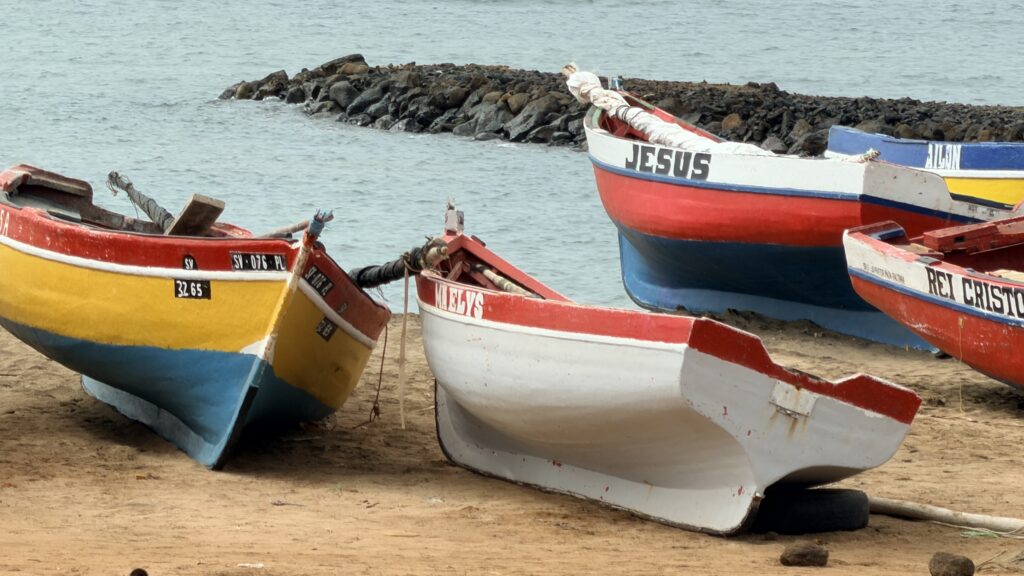
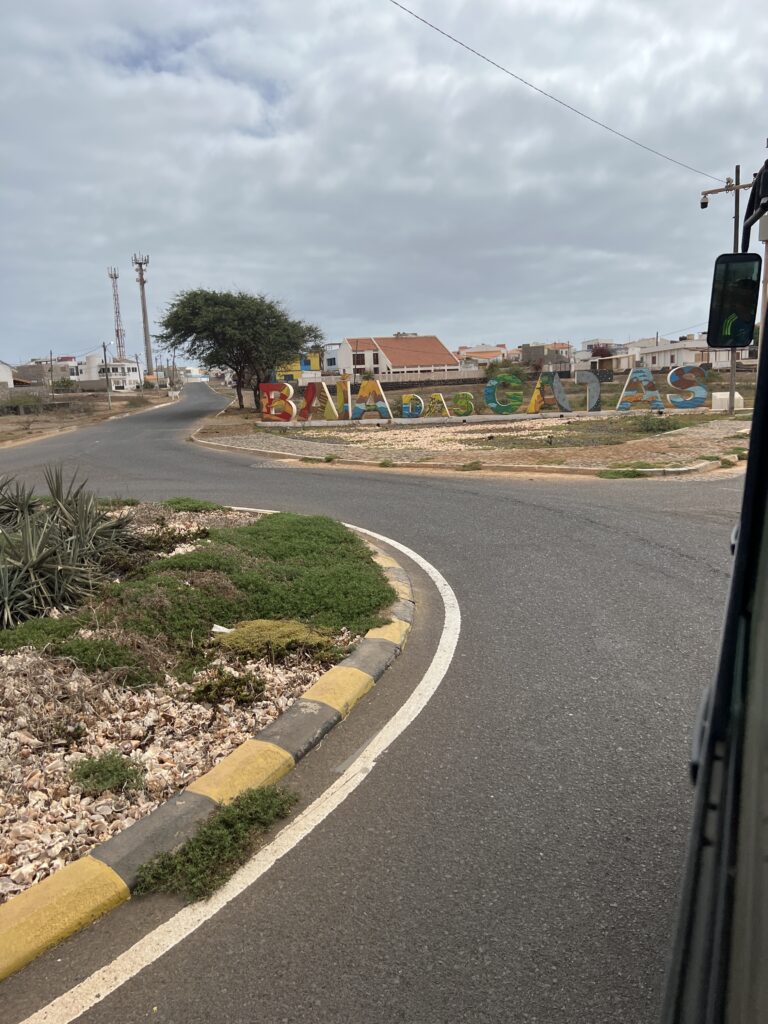
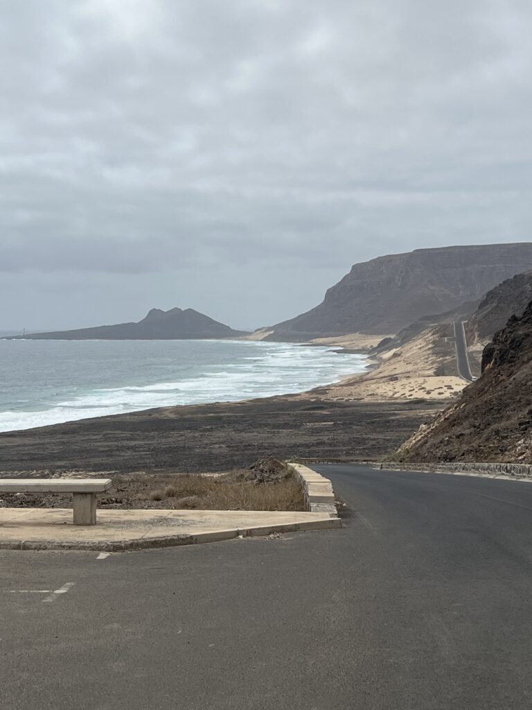
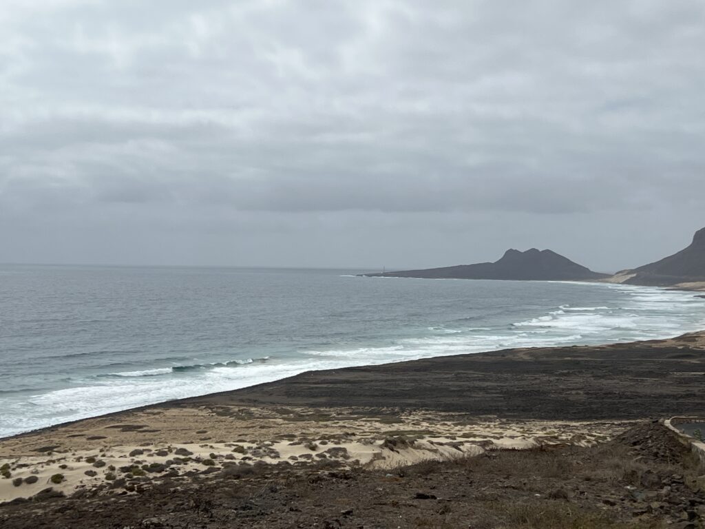
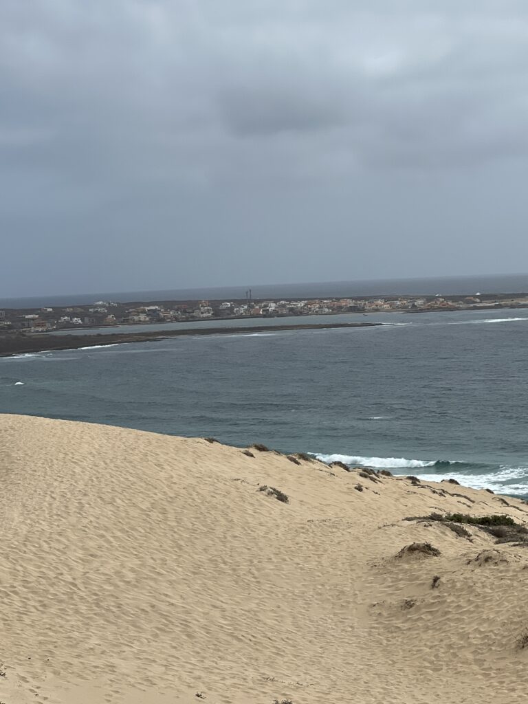
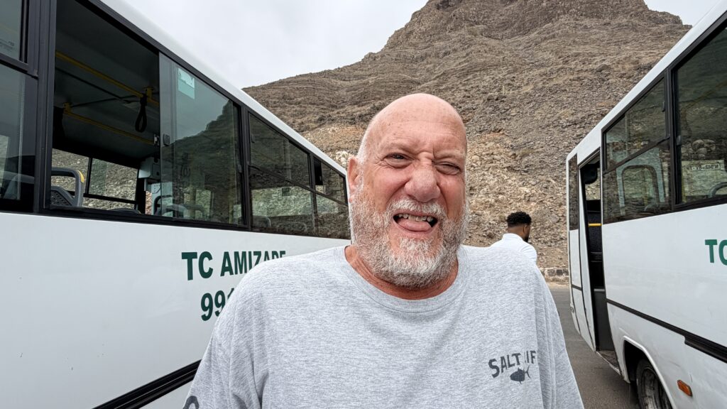
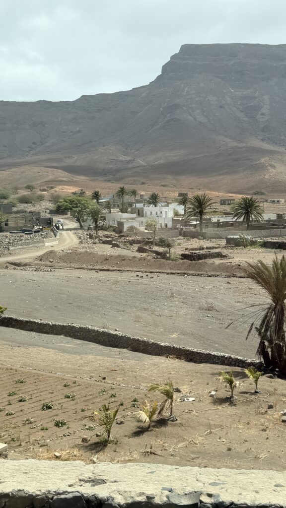
Photos from the drive down the mountain to Baia das Gatas (Catfish Bay)
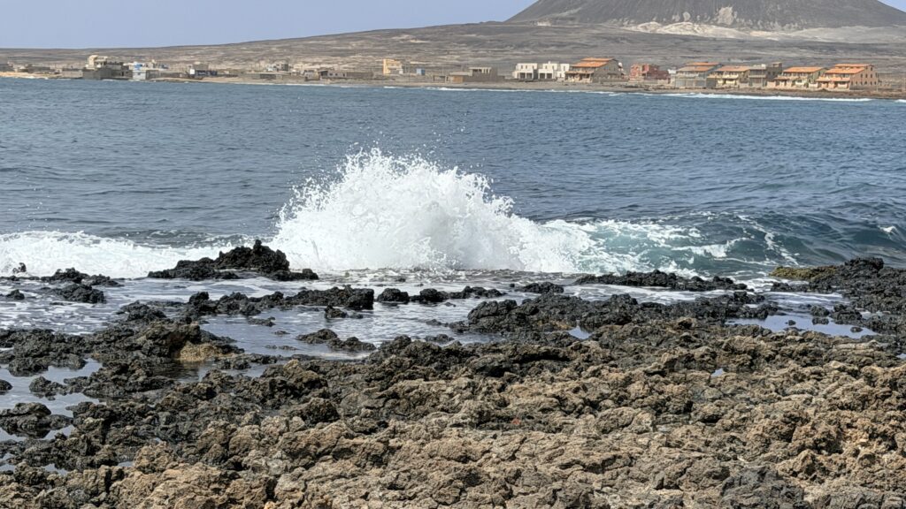
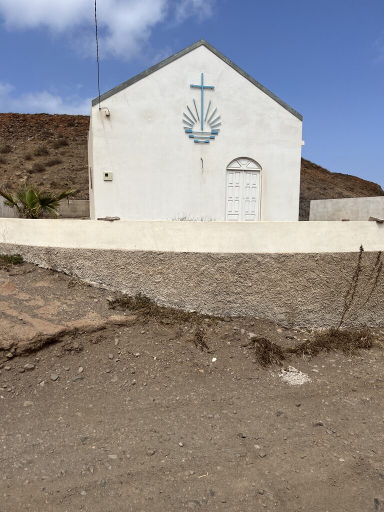
Baía das Gatas is a village in the northeastern part of the island of Sao Vicente, Cape Verde. It is situated on the east coast, 4 km east of Salamansa and 8 km east of the island capital Mindelo. It takes its name from the bay it is situated on, also named Baía das Gatas. The bay, island and entire archipelago was discovered by the Portuguese navigator Diogo Afonso in 1462. During that voyage he made a map where he was the first to mention not only Sao Vicente, Baia das Gatas but also the Portuguese Madeira Island, as well as the Cape Verdean islands of Brava, Sao Nicolau, Santo Antao and the islets of Branco and Razo.
Since 1984, the Festival de Música da Baía das Gatas is held every year in a full moon weekend in August on the beach of Baía das Gatas. It features local and international music.
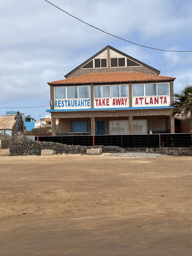
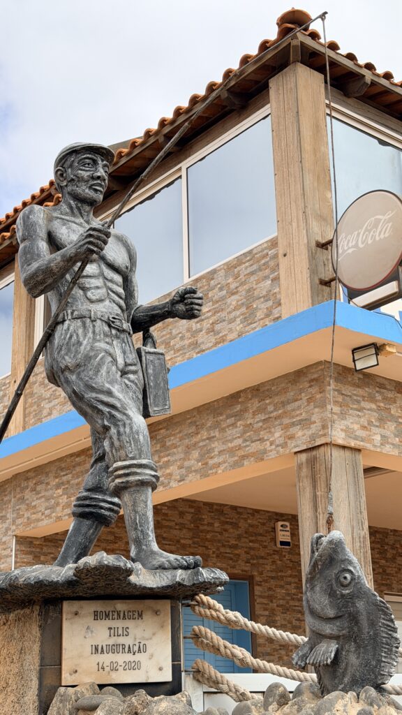
While at the beach, our guide gave us a shot of liquor called Ponche
Pontche: The Strong and Sweet Spirit of Cape Verde
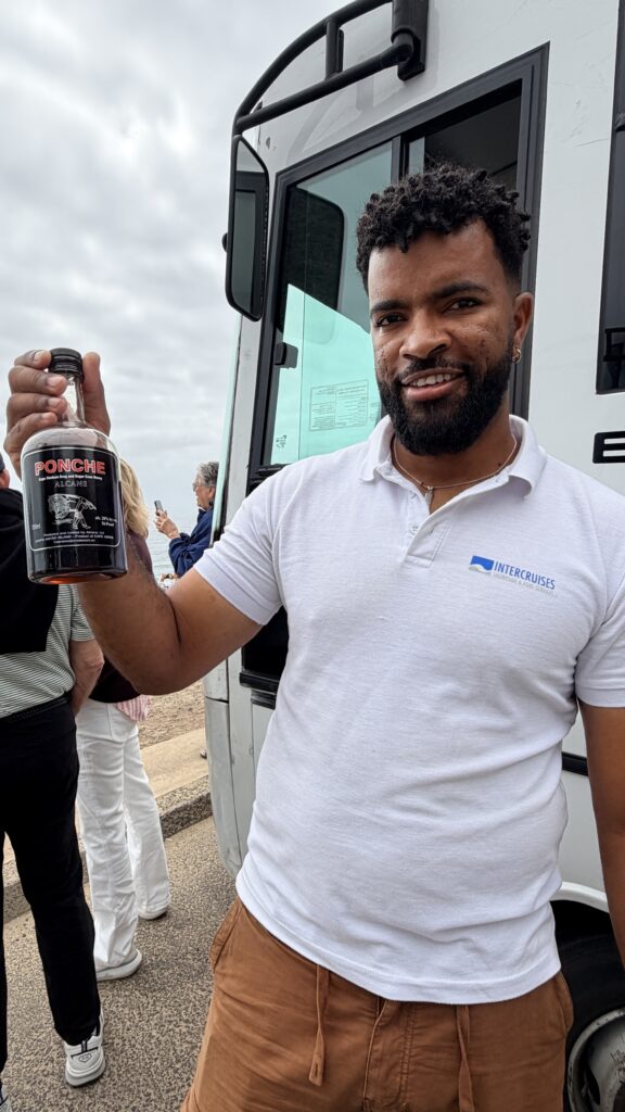
Lane’s thoughts on the Ponche
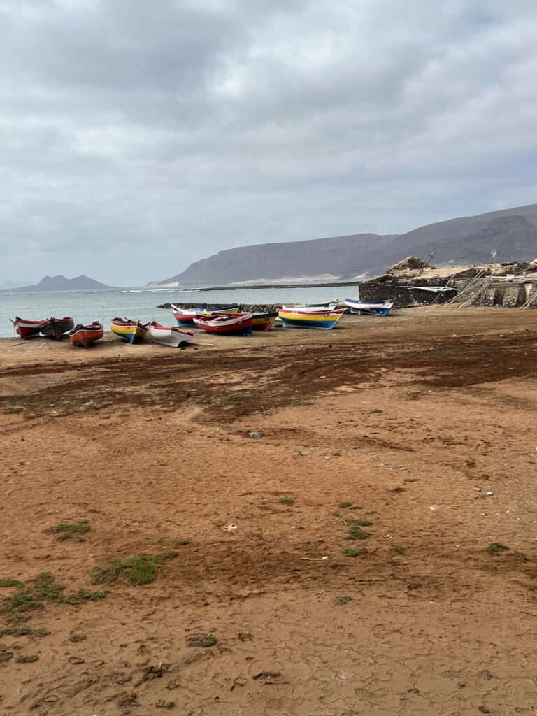
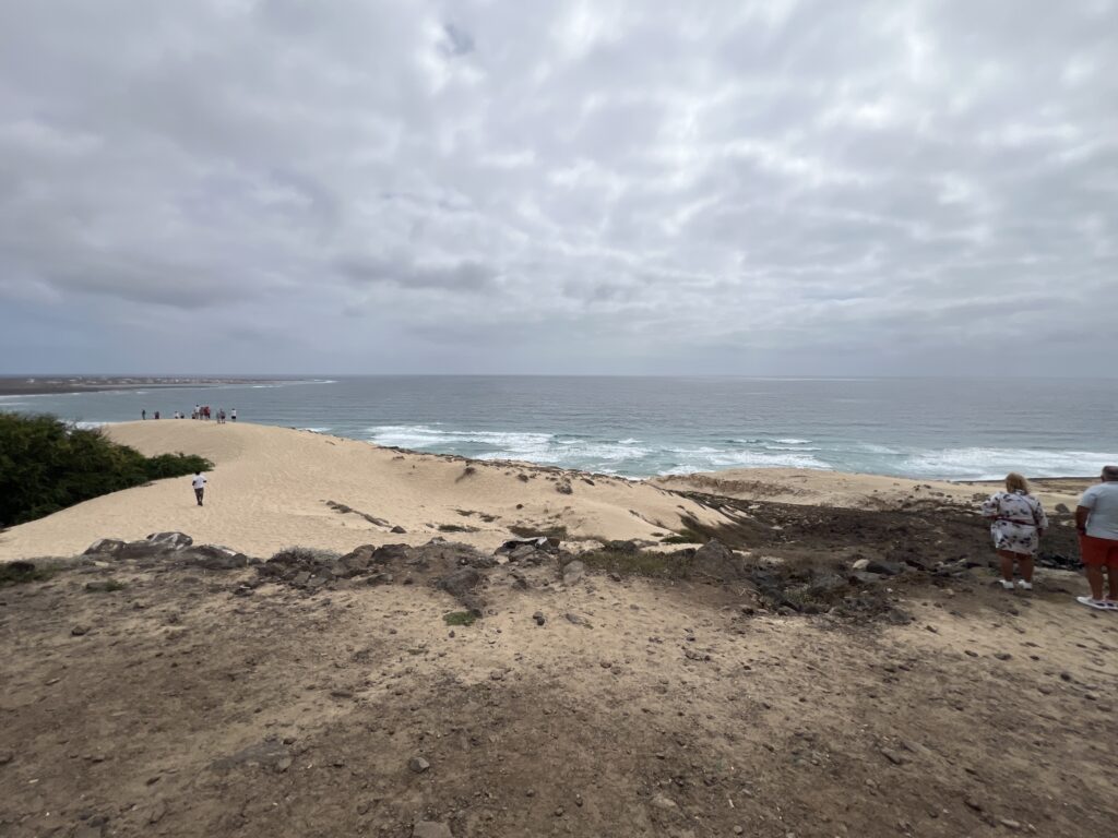
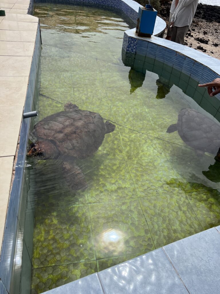
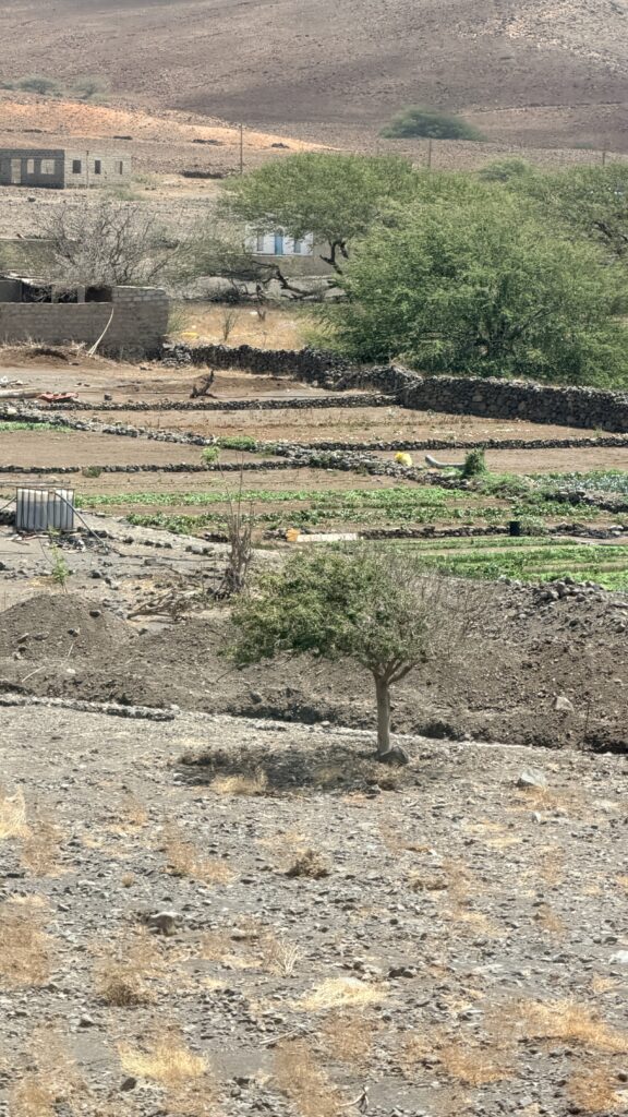
After 20 minutes at the beach, we moved on along the coast to see turtles that were injured and then rehabbed. We also got to video men diving for fish and lobster.
Diving for fish and lobster with no masks. These guys had to be strong swimmers
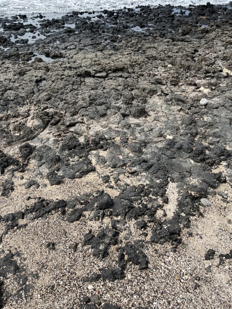
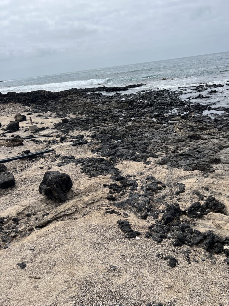
This beach was made of volcanic rocks
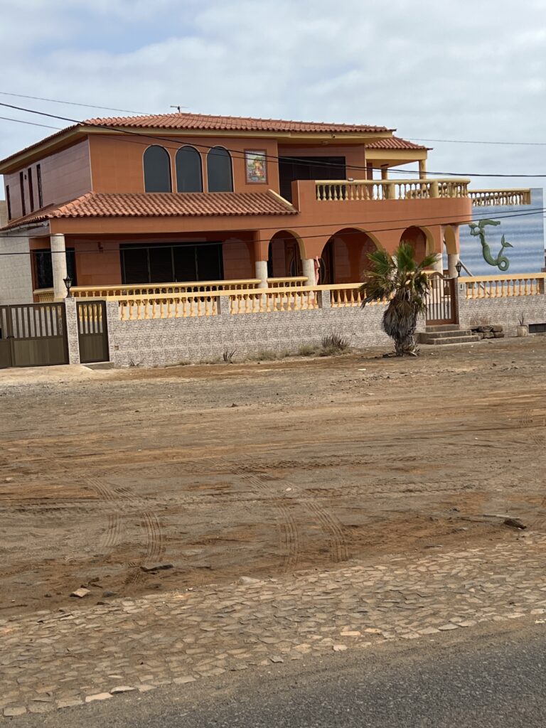
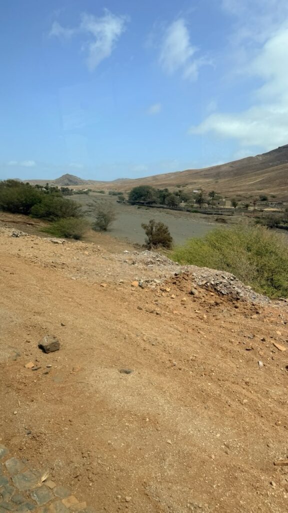
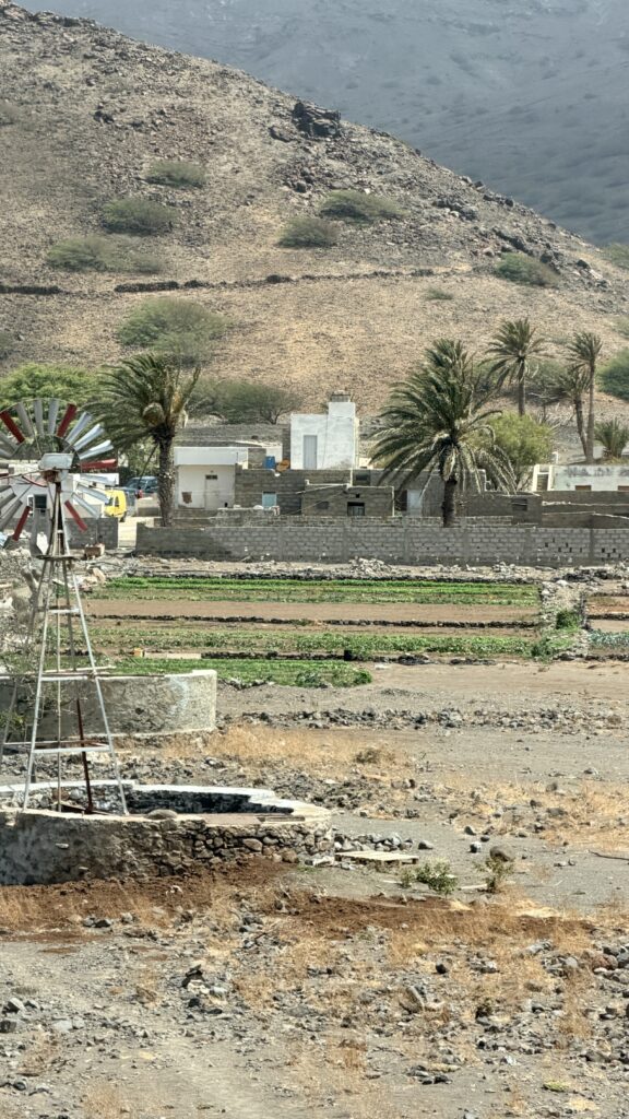
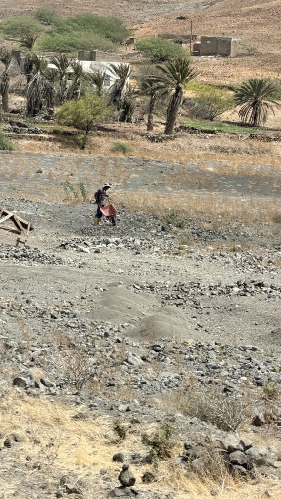
Driving back to the ship we captured these photos
Was a river but no rain since August 2025 so now just a dry riverbed
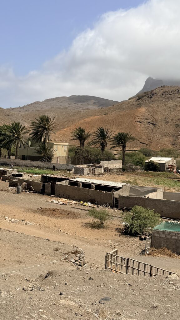
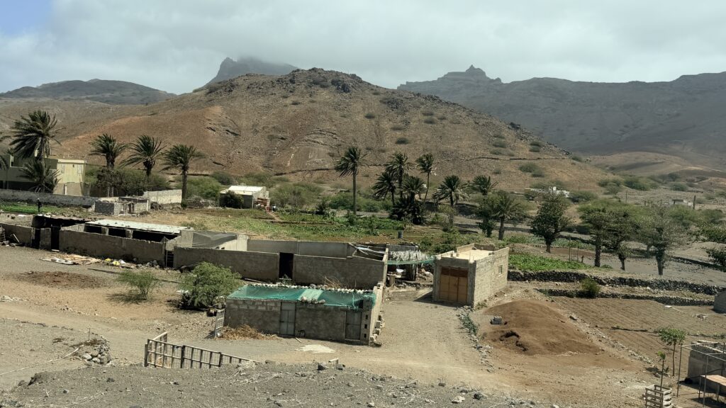
Large cemetery
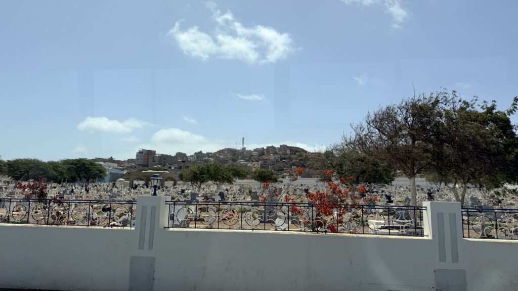
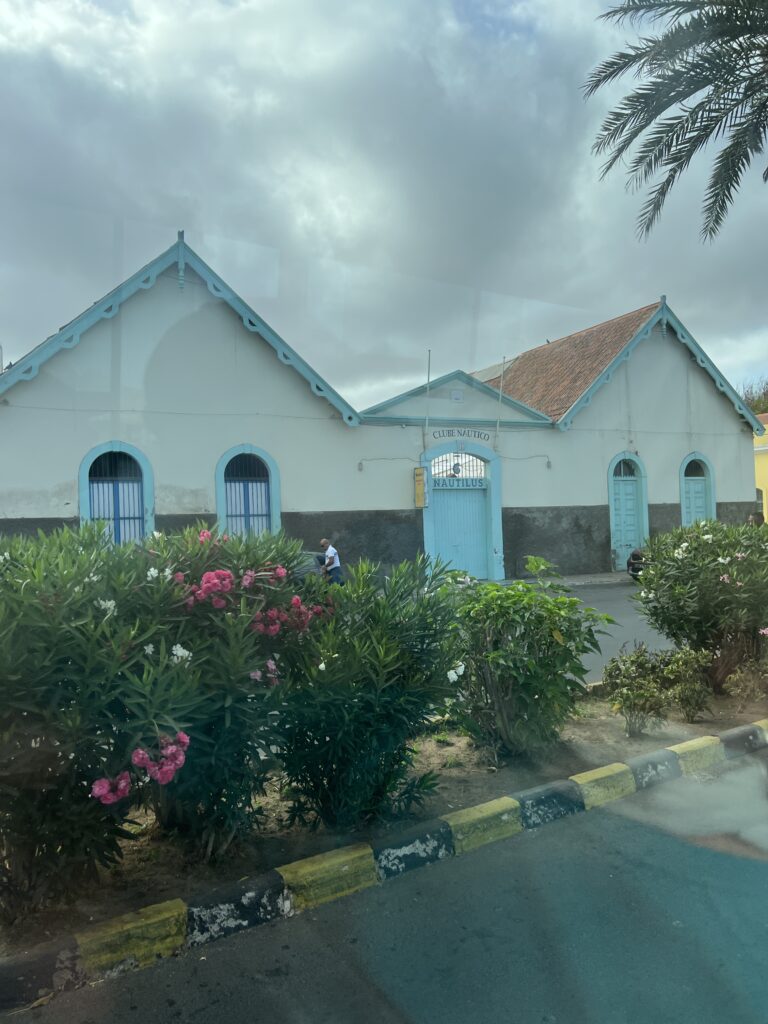
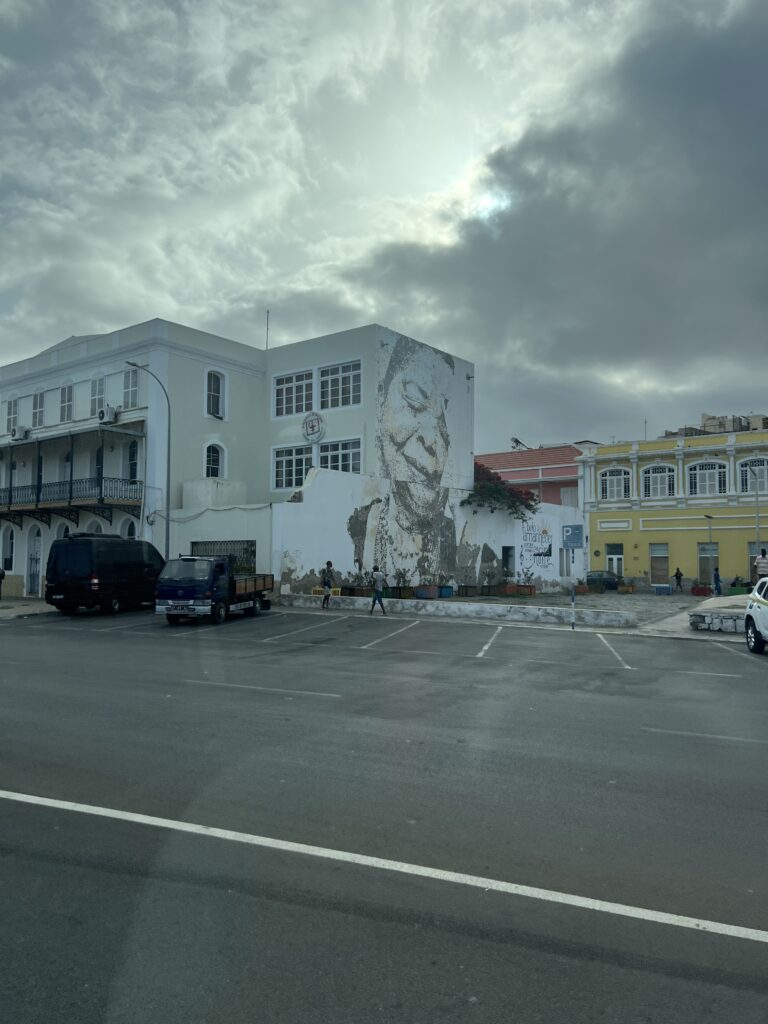
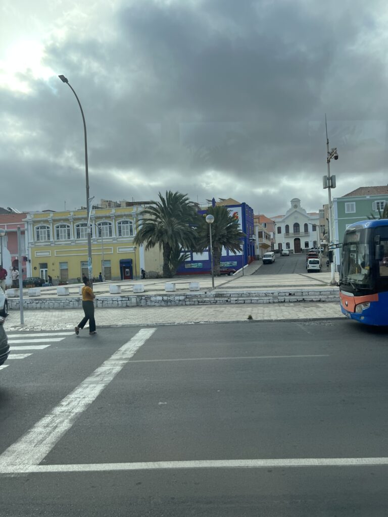
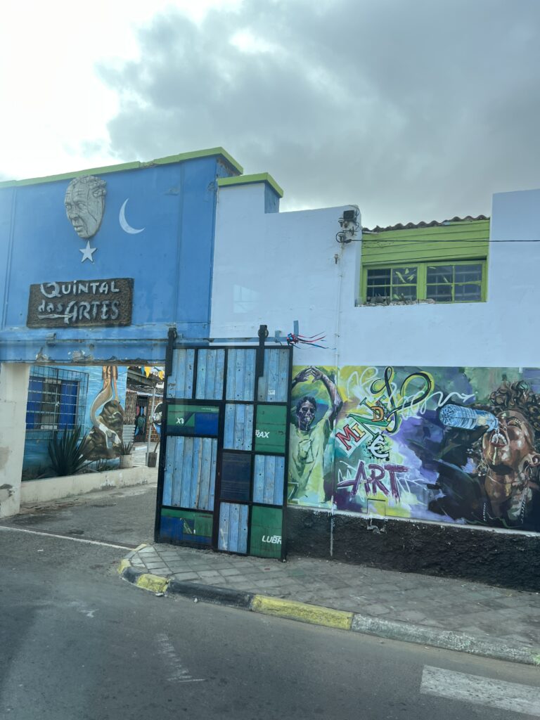
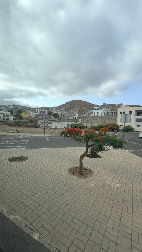
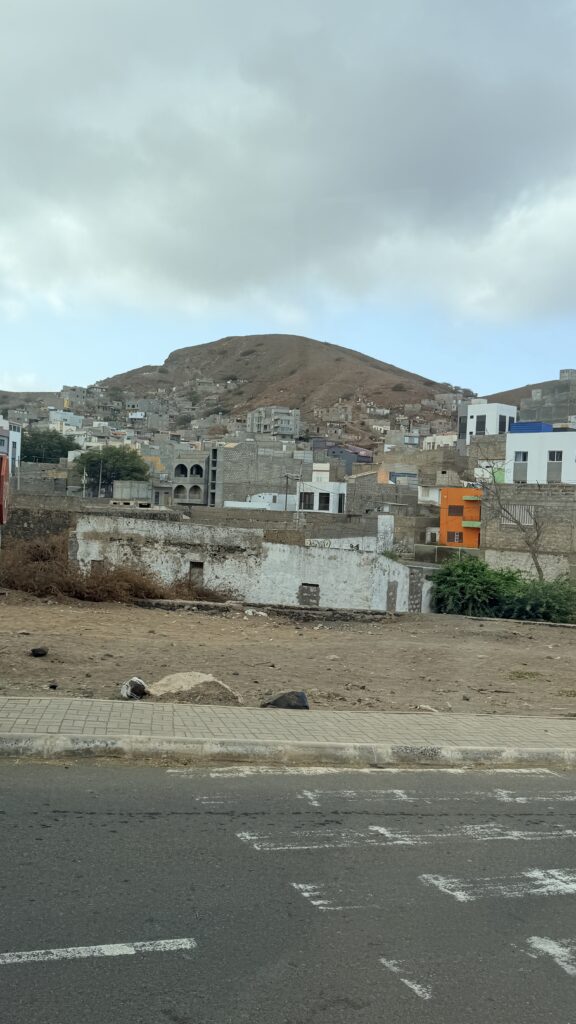
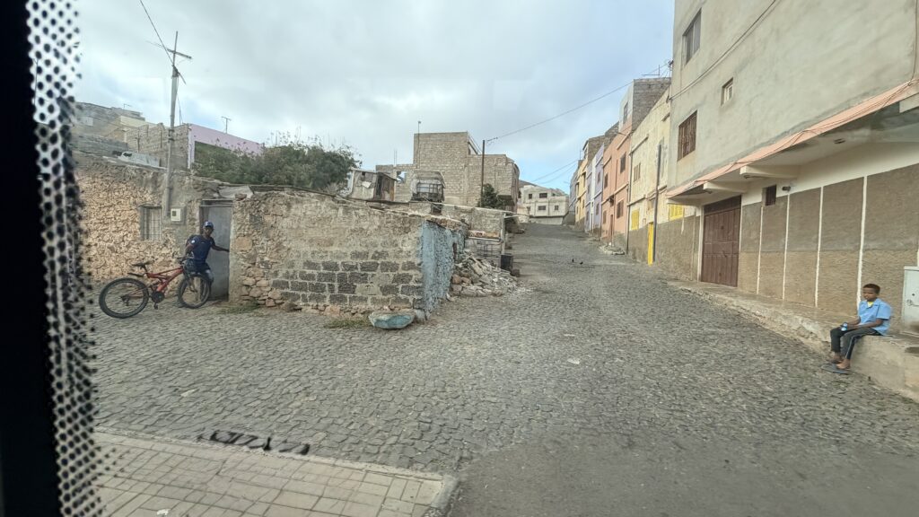
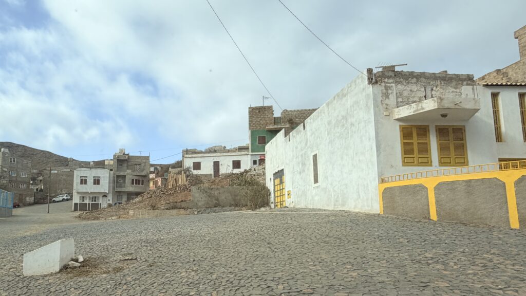
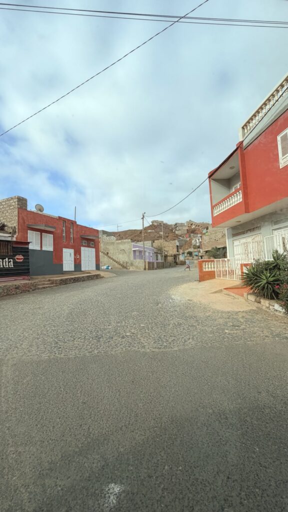
After lunch we decided to walk to the city of Mindelo to look around. We wanted to visit the cathedral and the market. The cathedral was closed and we could not enter. Before getting to the market, we were faced with people begging for food or money, so we decided to head back to the ship. I thought that I would outsmart one and said I did not know English and started speaking in French to her. She talks back in perfect French, so I was screwed in that attempt. 🙂 Another guy this time a man asked where we were from and started by saying US and then he wanted more specific and I said Louisiana. He said I know Louisiana, I was in Oakdale at the detention center before I was deported. I was shaking my head and gave him $10.
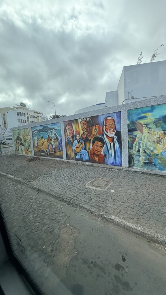
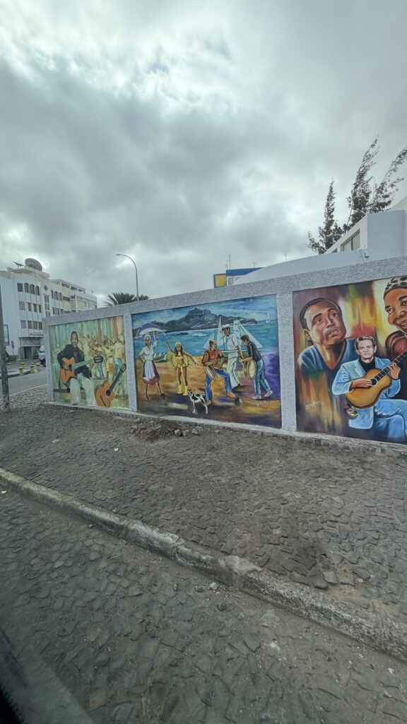
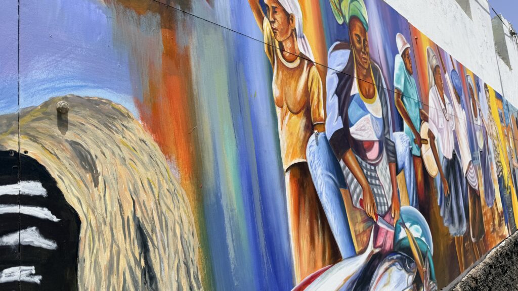
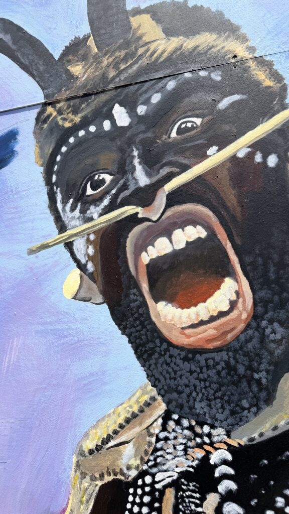
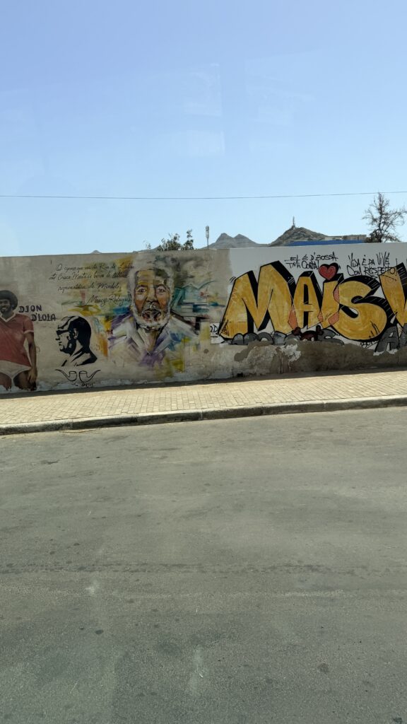
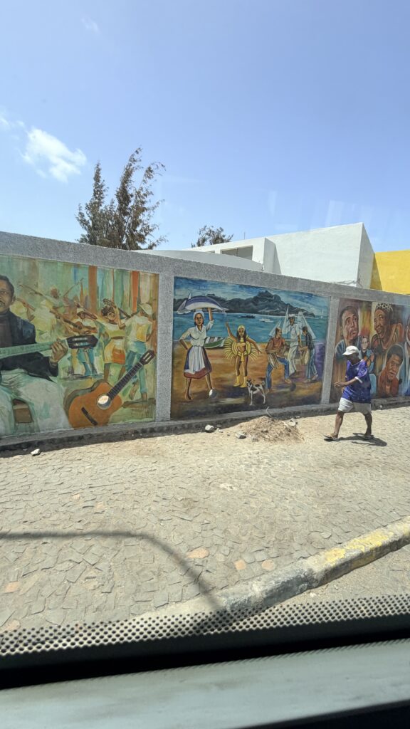
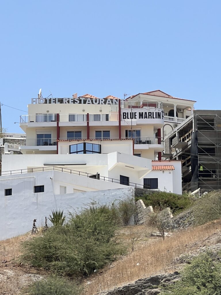
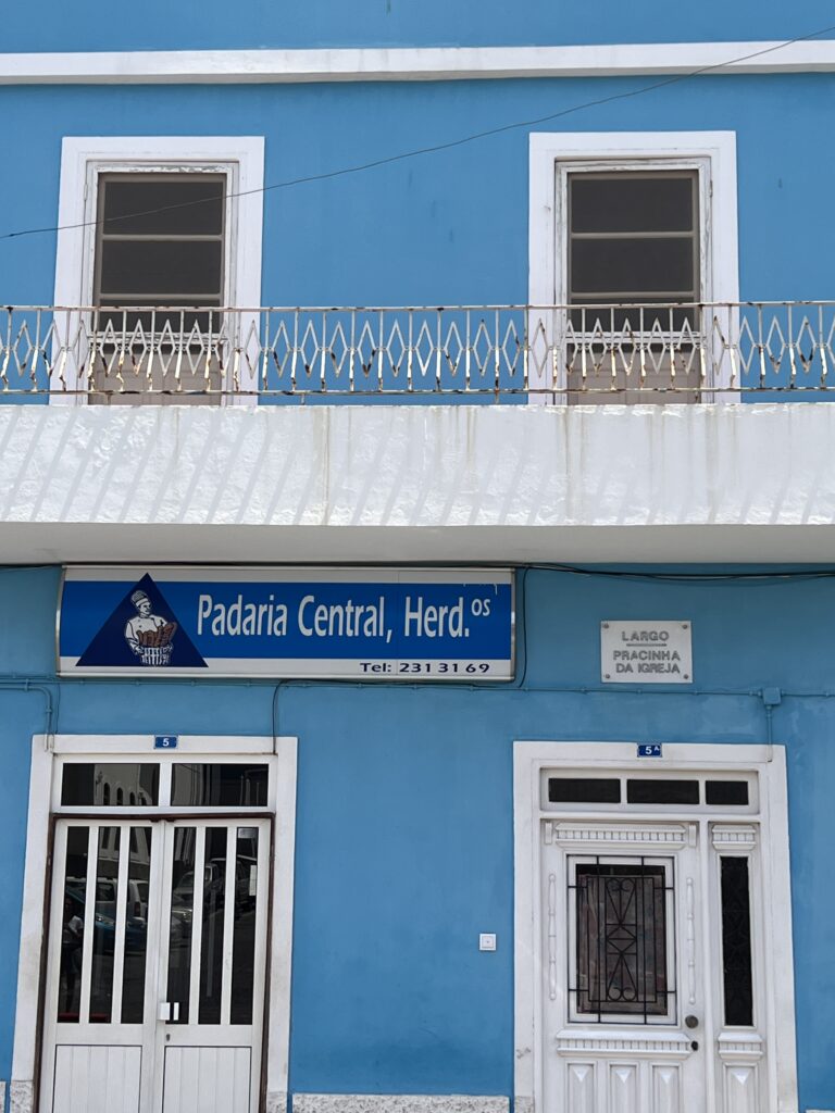
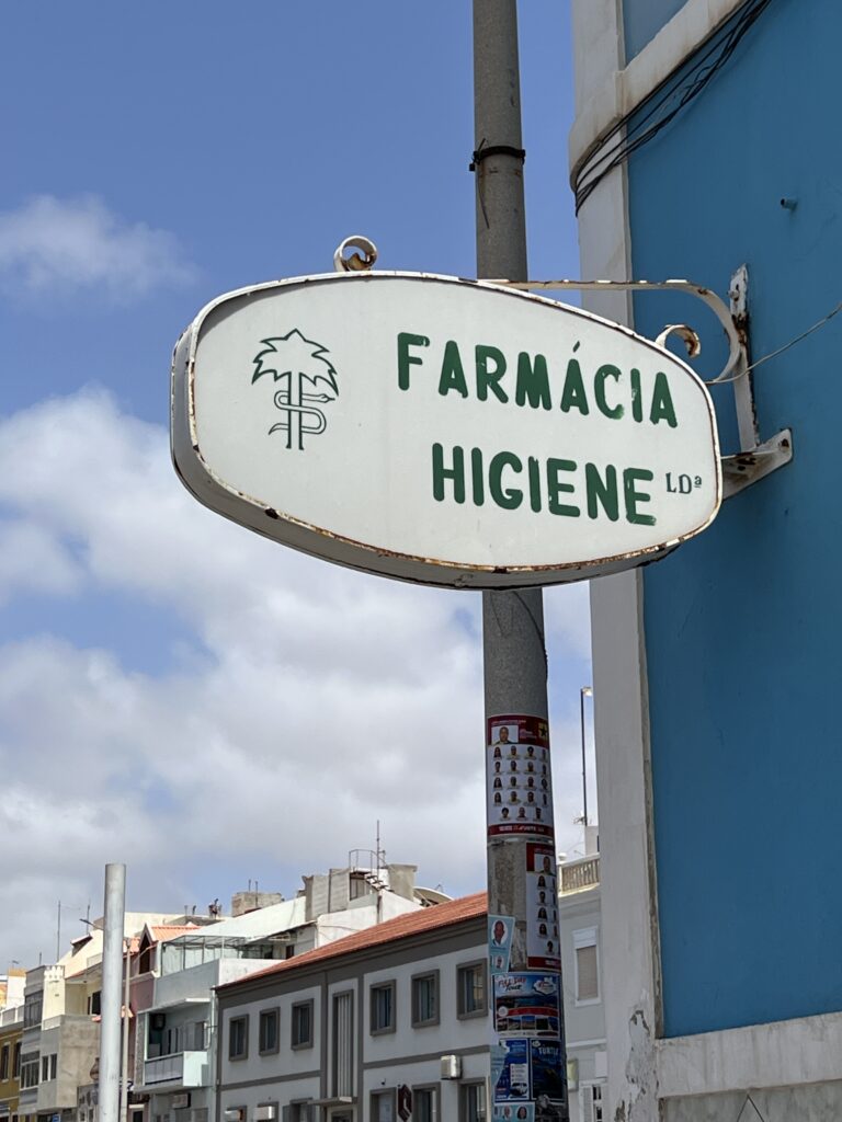
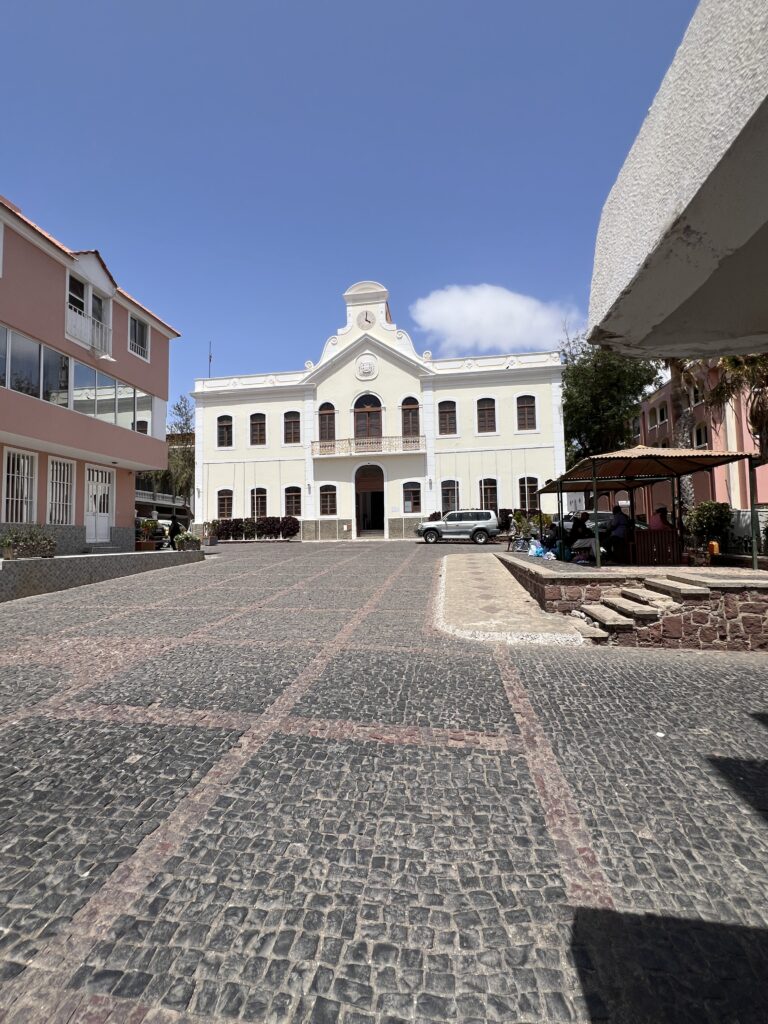
Below are photos taken while walking to the city and inside the city of Mindelo.
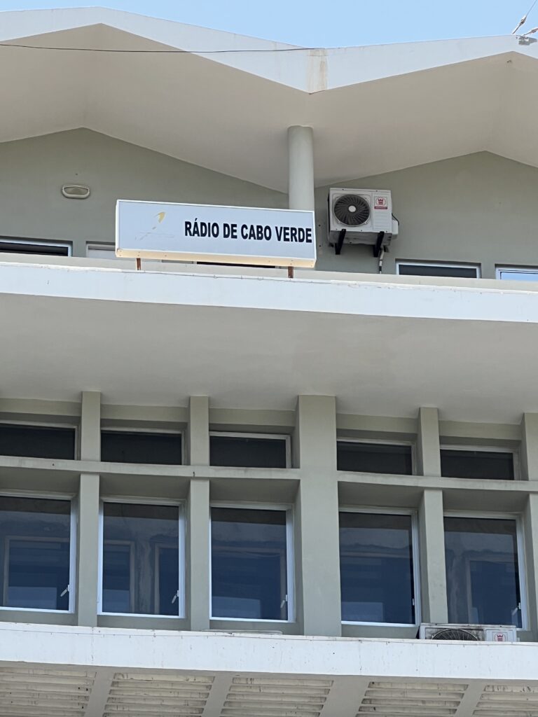
The Radiotelevisão Caboverdiana is Cape Verde’s first radio and television station broadcasting local programs from Cape Verde, Portugal and Brazil as well as the rest of the world especially France. It is a publicly owned company and enterprise and is located in the Capeverdean capital city of Praia, in the southern part in the middle of Achada Santo António RTC also has a few buildings, it also has offices in São Vicente (serving the northwestern part), Sal (serving the northeastern part), São Filipe on Fogo Island (serving the southwestern part) and Assomada in Santa Catarina (serving Northern Santiago and possibly Maio). The building size is very small. The radio building is in the south on Rua 13 de Janeiro and the television station is in the north. Its current president is José Emanuel Tavares Moreira.
The station also broadcasts news, sports, television shows and recently broadcasts football coverages from Portugal and also from Brazil as well as Latin America but rarely around the world. The radio channel is branded as RCV, originally broadcast during the later part of the day and the evening in its early years and then most of the day and the evening, now it is a 24-hour radio station. The TV channel is branded as TCV and it is also available in Portugal in the principal cable and IPTV platforms as a premium channel under the name TCV Internacional. As of the late 2000s, TCV broadcast from noon to midnight. The first and only youth radion station is known as RCV+, Radio Cabo Verde Jovem which broadcasts from 7 AM until 10 PM.
The Cape Verde national football team (Portuguese: Seleção nacional de futebol de Cabo Verde; recognized as Cabo Verde by FIFA) represents Cape Verde in men’s international football, and is controlled by the Cape Verdean Football Federation. The team is nicknamed Tubarões Azuis (Blue Sharks in Portuguese). The national team played its first match on 19 April 1978 against Guinea, a match they lost 1–0. Following the federation’s affiliation with the Confederation of African Football and FIFA in 1982, the national team entered Africa Cup of Nations qualification for the first time in 1992 and made its first FIFA World Cup qualification appearance in 2003. The team is coached by Pedro Leitão Brito.
Also known as “Creoles” (Portuguese: “Crioulos”), Cape Verde plays the majority of its home matches at the Estádio Nacional de Cabo Verde. They qualified for the Africa Cup of Nations for the first time 2013. Since then, they also appeared in the 2015, 2021 and 2023 tournaments, reaching the quarter-finals in 2013 and 2023.
Cape Verde qualified to the FIFA World Cup for the first time in 2026. By doing so, they became the smallest country by land area and the second least populated (after Iceland) to qualify for the World Cup, with a land area of 4,033 square kilometres (1,557 sq mi) and a population of just under 525,000 until Curaçao broke their land area and population records five weeks later when they qualified for the same tournament.
They are excited and looking forward to their first World Cup participation with their first match on June 15th
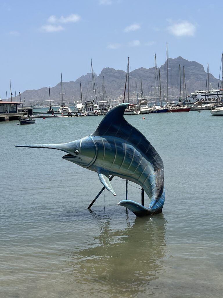
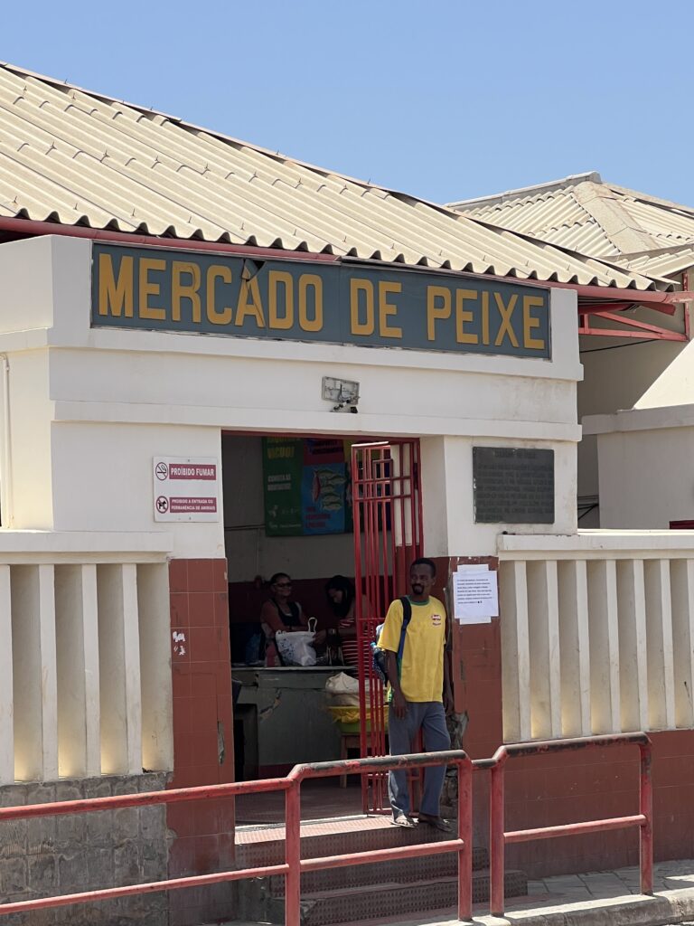
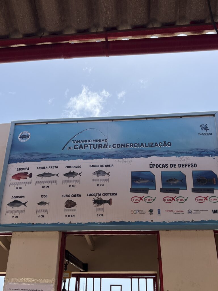
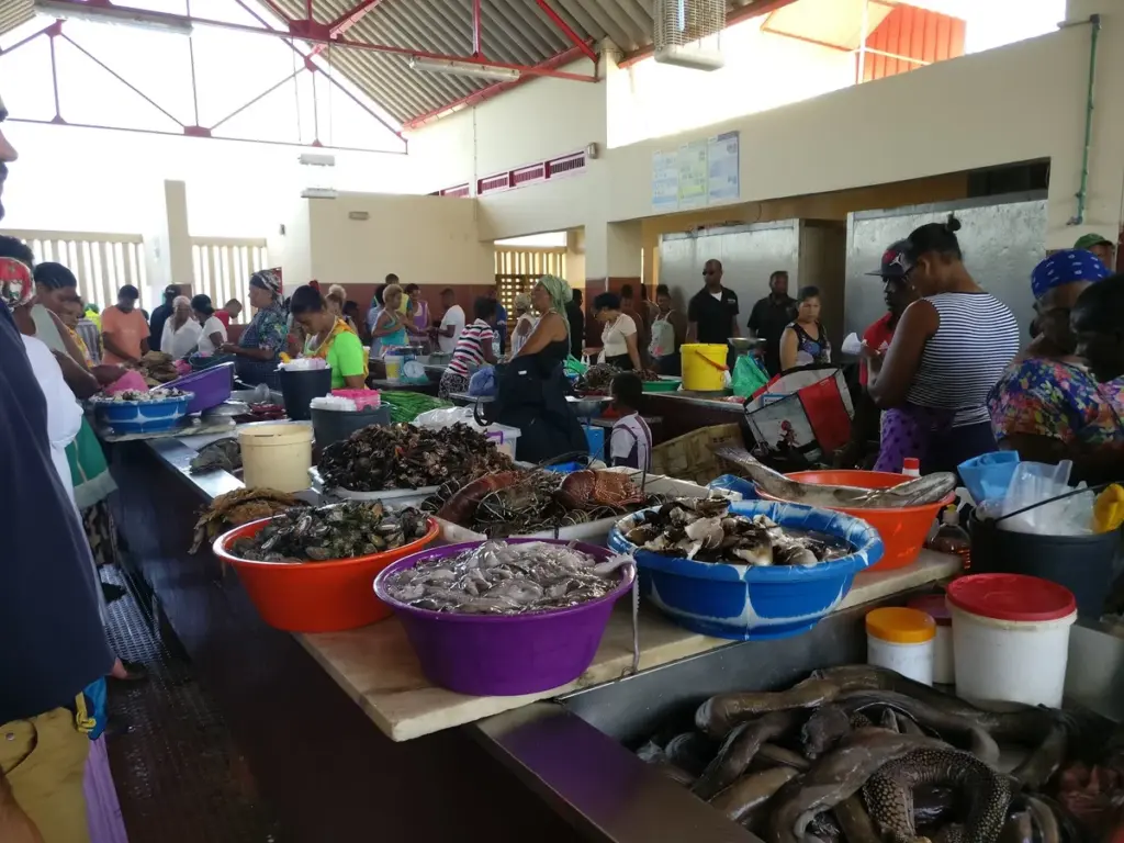
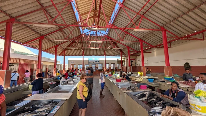
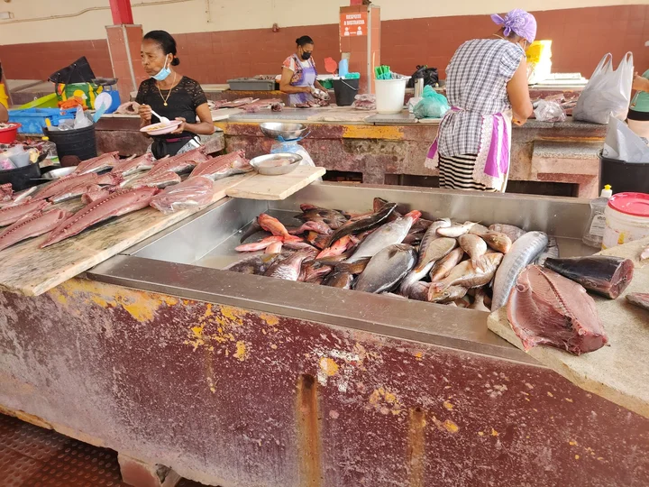
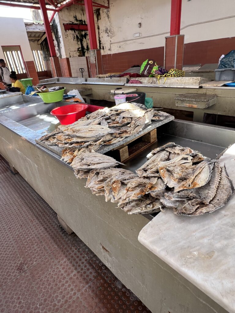
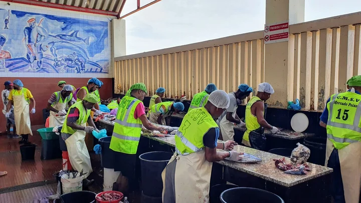
Mercado De Peixe is a lively fish market located in Mindelo, Cape Verde, known for its colorful array of fresh seafood. The market offers a glimpse into the local fishing culture, showcasing a variety of fish and shellfish caught in the surrounding Atlantic waters. Visitors can experience the bustling atmosphere, interact with local fishermen and vendors, and observe the vibrant sights and sounds that define this integral part of the community. This market not only serves as a hub for fresh catches but also reflects the culinary traditions of Cape Verde, making it a must-visit for travelers interested in local culture.
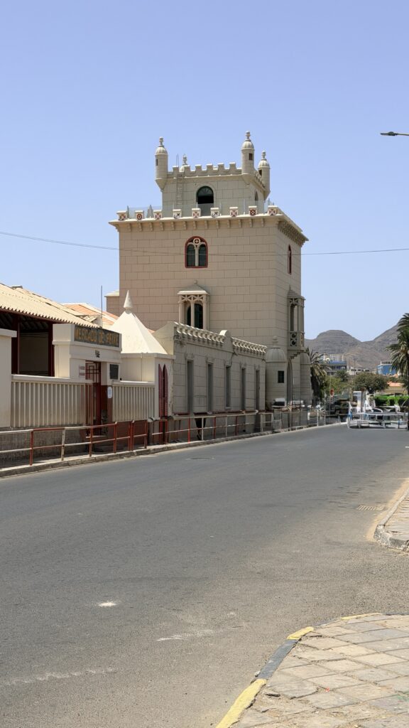
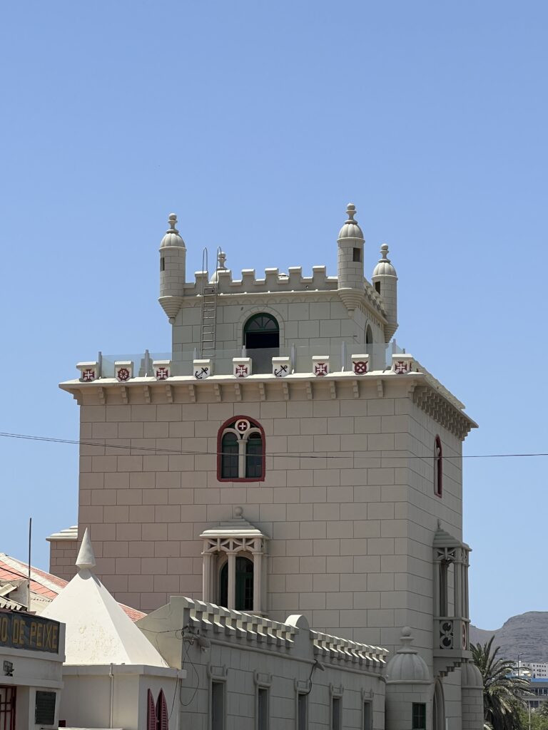
Torre de Belém, on the waterfront, a 1918-1937 replica of the Belém Tower in Lisbon
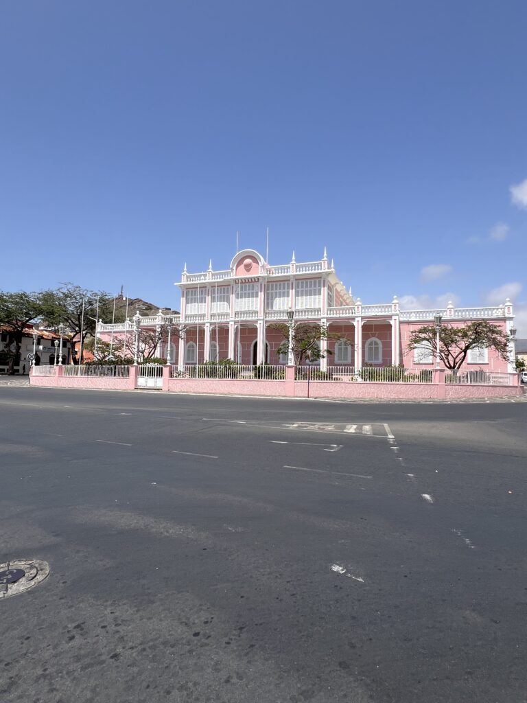
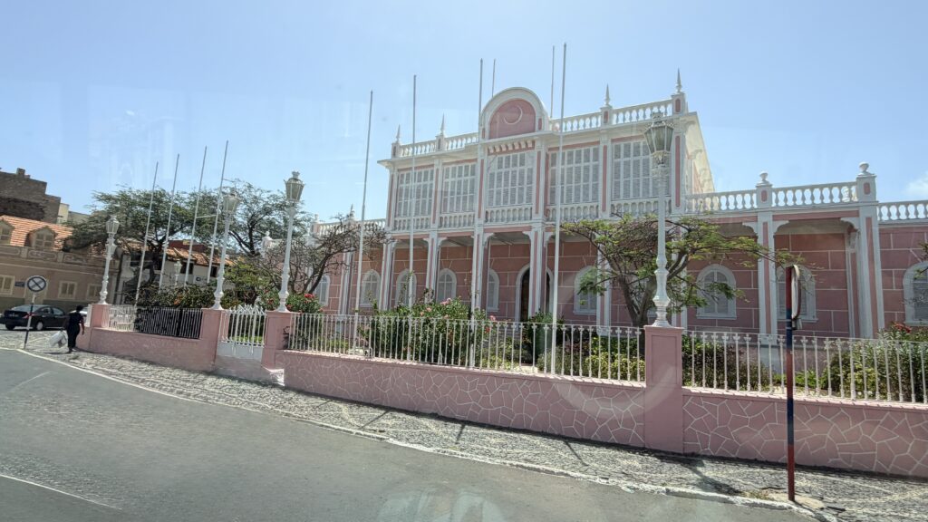
Palácio do Povo (People’s Palace), the former Palácio do Governo (Government Palace), built in 1874, expanded in 1928-34
Centro Nacional de Artesanato e Design built as the house of Senator Vera Cruz at the end of the 19th century, now houses exhibitions from Cape Verdean craftsmen
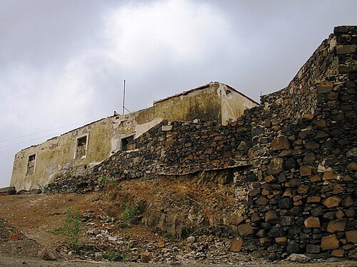
Fortim d’El Rei is a fort in Mindelo, in the island of São Vicente, Cape Verde. It is located on a hill north of the city centre, in the neighbourhood Fortinho. It was built in 1852 for the defence of Porto Grande Bay and the city of Mindelo.[1] Since 1930, it was only used for civil purposes, and it gradually fell into disrepair.
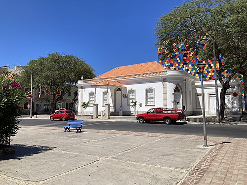
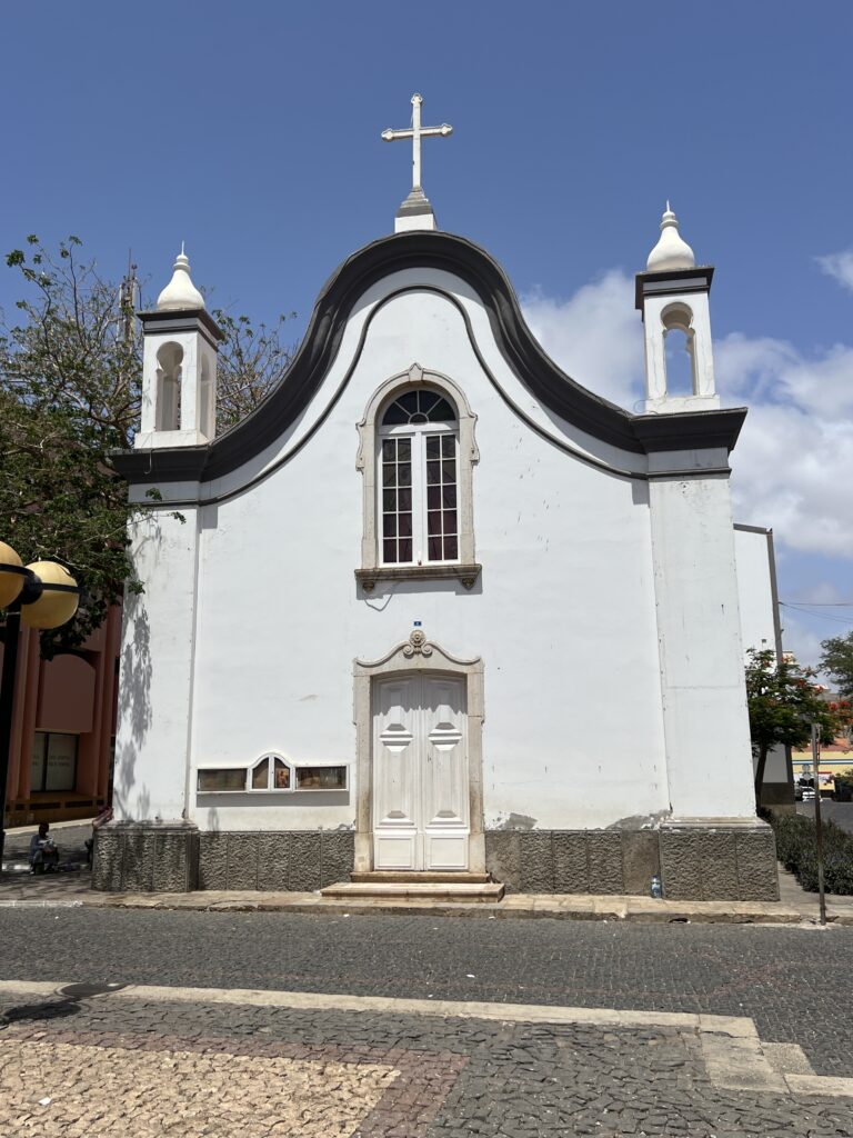
The Pro-Cathedral of Our Lady of the Light (Portuguese: Pró-catedral Nossa Senhora da Luz) is a Roman Catholic church in the city of Mindelo, on the island of São Vicente, Cape Verde. It is located on Rua da Luz, in the city centre. Built in 1862, it is one of the oldest buildings of Mindelo. However, the church has been enlarged recently, leaving only the façade in its original state. It is the seat of the Roman Catholic Diocese of Mindelo, created in 2003.
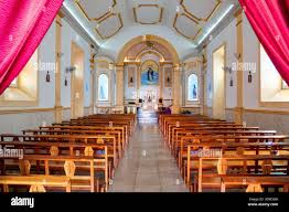
Stock photo of the church’s interior
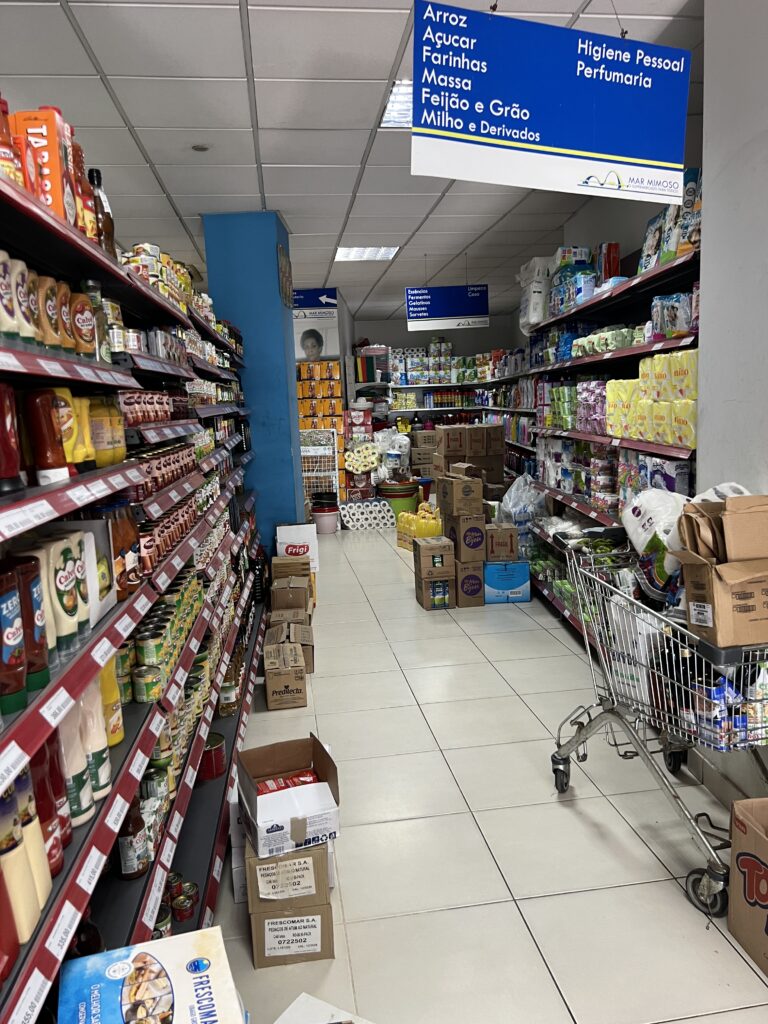
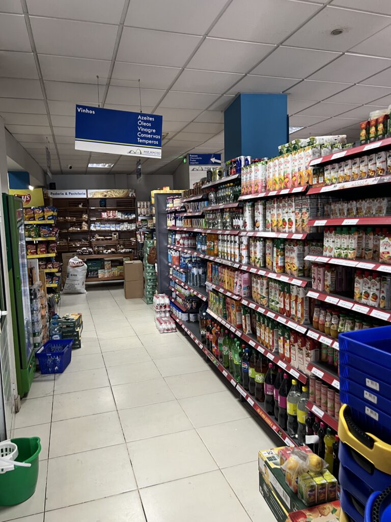
We went into a grocery store to buy some items like potato chips. No jellybeans to be found
We got back to the port terminal and discovered David Chen and working Wi-Fi. we used the opportunity to back up our phones as it had been over a week since we could do this.
One thought on “Day 90 June 5 – Porto Grande, Cape Verde”
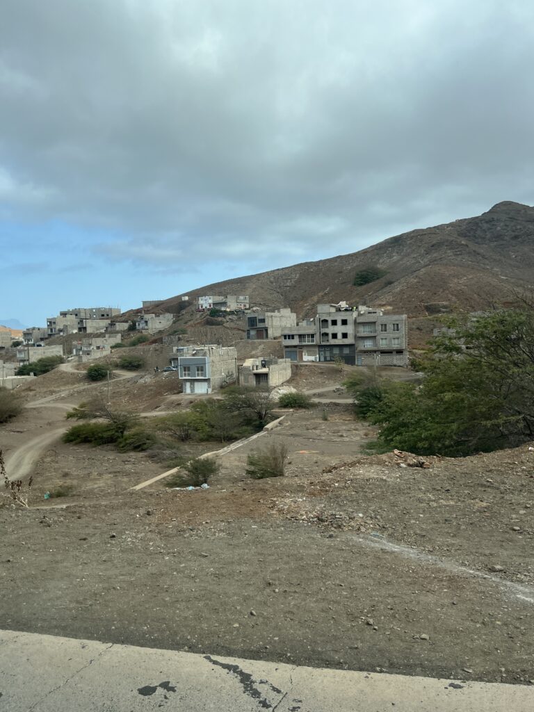
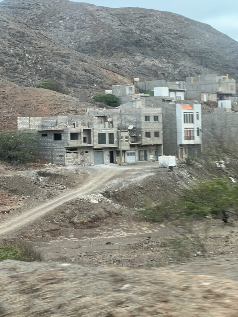
Where does the people living in the mountain get fresh water if there is a drought? The buildings are very colorful. There must be some good artist in the town.