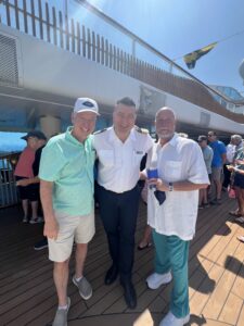
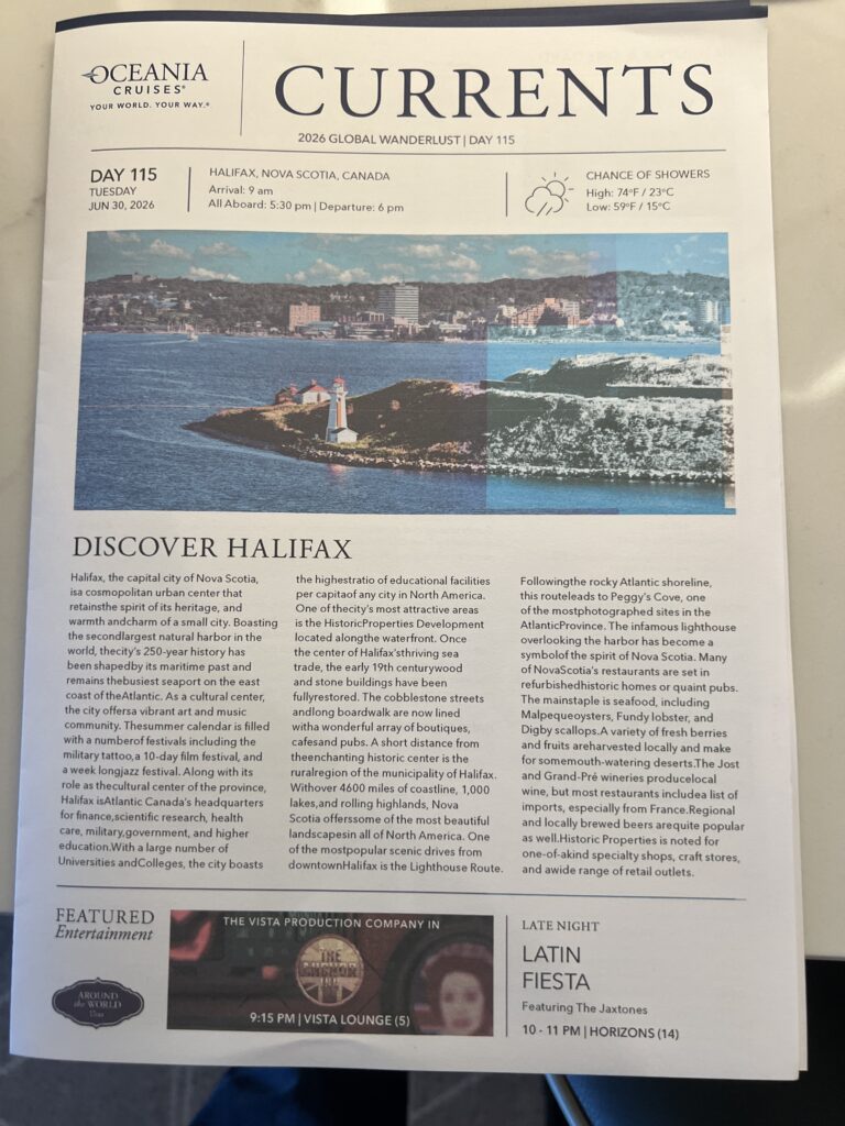
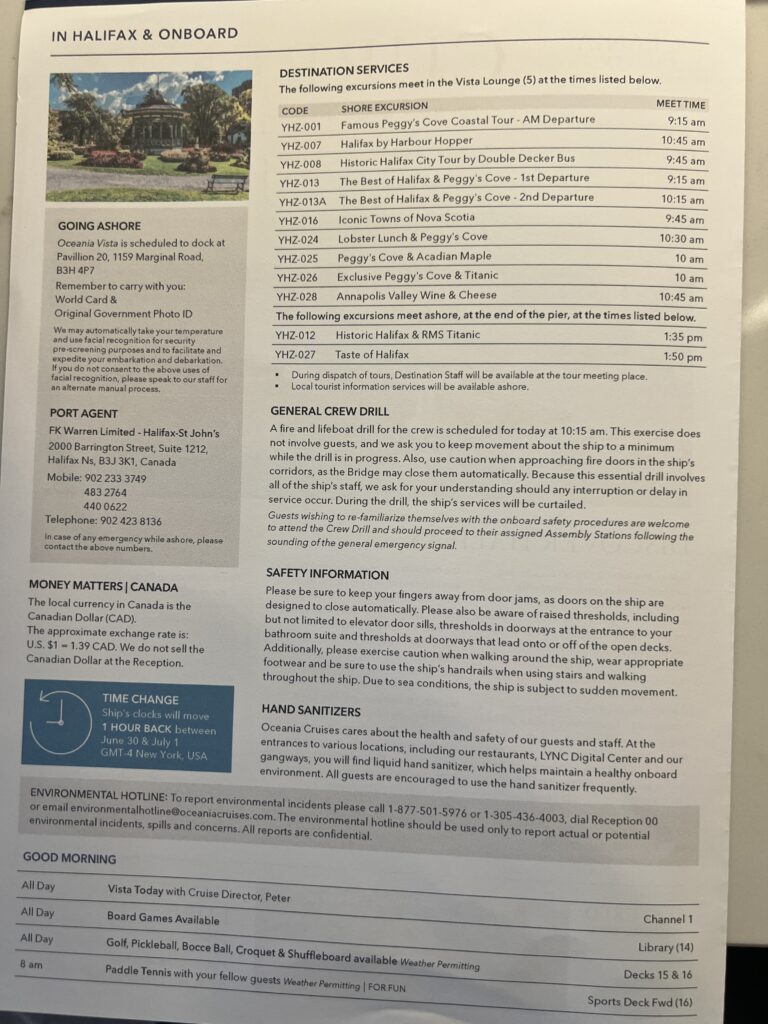
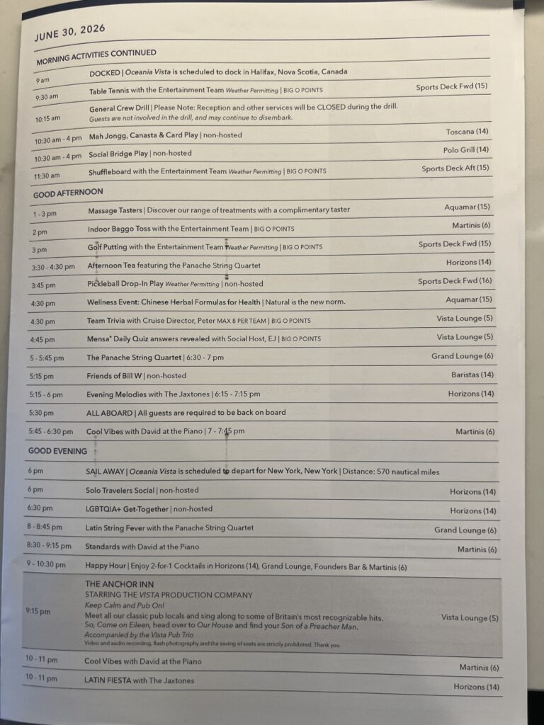
Day 115 Tuesday June 30th (5 days to go) — We arrived to Halifax and were excited to visit the Acadian Museum in Grand Pre. Sadly, we encountered two similar problems with Oceania: lack of communication and no cruise app. We were to arrive at 9am and had a quick full day planned. We had rented a car and were going to make a visit to the Acadian Museum. Unfortunately, the ship was having issues with engines, and we did not arrive until noon. We needed to get to the airport to pick up the car, which was 50 minutes away, then drive to Grand Pre for a quick two-hour tour and return the car and get back to the ship for a 5:30pm all aboard. Once we arrived at the ship, we found out we were not sailing and were leaving the next day at noon. This did not provide us enough time to revisit the area the second day. If Oceania had a cruise app, a message could have been sent to passengers notifying us that we were leaving the next day and we could have spent more time visiting the area around Grand Pre.
Our quick two hours with Holly and Kevin Guidry were a delight and left us wanting to return one day to visit other locations in Halifax.


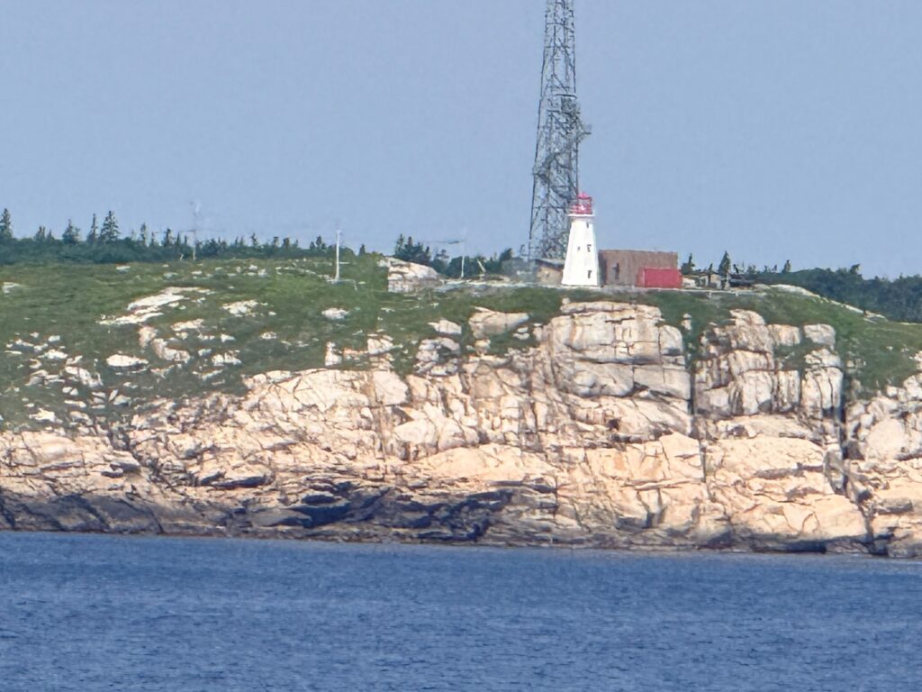
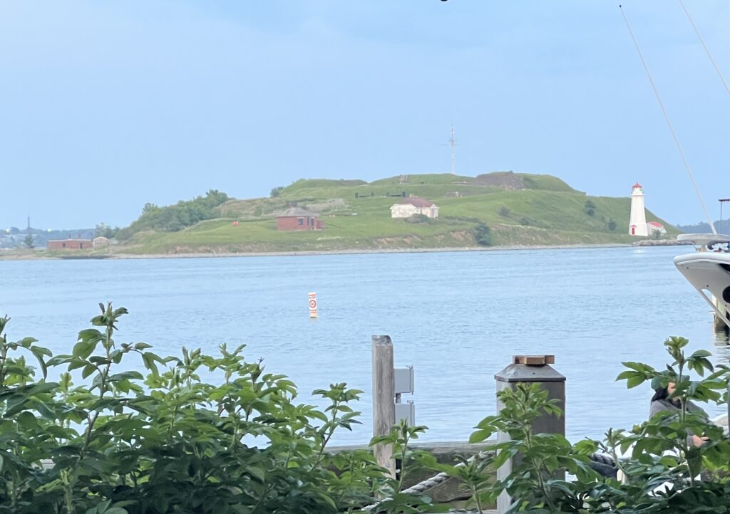
Pulling into the port we saw this beautiful island with a lighthouse. The island directly facing the Halifax cruise ship terminals is Georges Island. Located in the middle of Halifax Harbour, this small drumlin island features a historic 19th-century fortification (Fort Charlotte) and is a popular destination for scenic harbor ferry rides.
Key Details for Visitors
- Location: Just minutes by boat from the Halifax Seaport (where cruise ships dock).
- Things to Do: Explore the subterranean tunnels, picnic on the grassy grounds, and enjoy panoramic views of the downtown skyline.
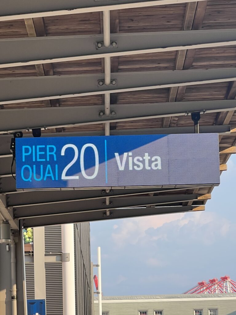
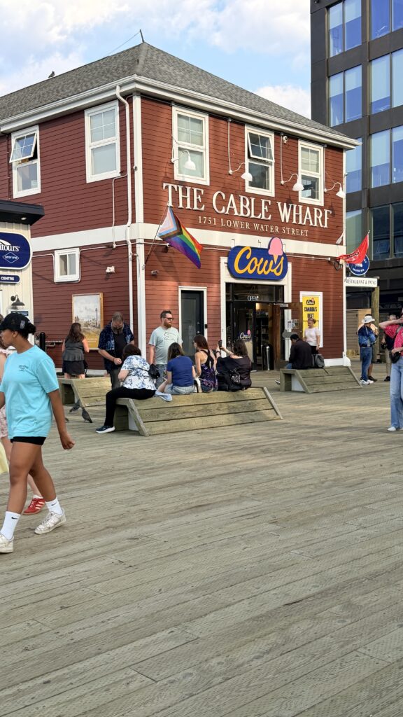
- Getting There: You can easily catch a ferry from the Cable Wharf, which is roughly a 10-minute walk (about 850 meters) north of the primary cruise terminals at Pier 20 and 22.
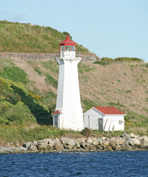
Georges Island is situated just off the waterfront in Halifax and has played an important role in both defending and lighting the harbour. Named after King George II, Georges Island became home to a battery of cannons in 1750, just a year after Halifax was founded. The island served as a prison for large numbers of Acadians during the Acadian Deportation, 1755 – 1763, and earthworks were added to the island during the American Revolution.
In 1794, Prince Edward, son of King George III and later the father of Queen Victoria, became the commandant of Halifax, and four years later, he had a fort built on Georges Island. He named the star-shaped fortification Fort Charlotte, after his mother. During the War of 1812, a Martello Tower was built on Georges Island. A new, largely subterranean Fort Charlotte, which had and upper battery and a lower battery, each equipped with rifled muzzle-loading guns, was built on the island in the 1860s
A “number of respectable merchants engaged in navigation” requested that a lighthouse be built on Georges Island in 1857, but a beacon there had the lowest priority of those approved that year and the allocated funds were insufficient to have it built. S. Cunard & Co. and the Superintendent of Lighthouses for Nova Scotia petitioned for a harbour light on Georges Island in 1866. The Committee on Navigation Securities agreed that the light should be built without delay, but once again, available funds must have been insufficient.
Georges Island National Historic Site
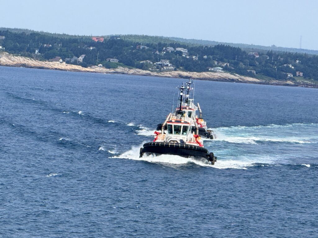
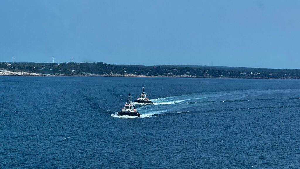
The two tugs that pushed the ship to the dock as we could not maneuver on our own to the cruise terminal
We did not have much time, but we were styling for the afternoon 🙂

Grand-Pré National Historic Site – Wikipedia
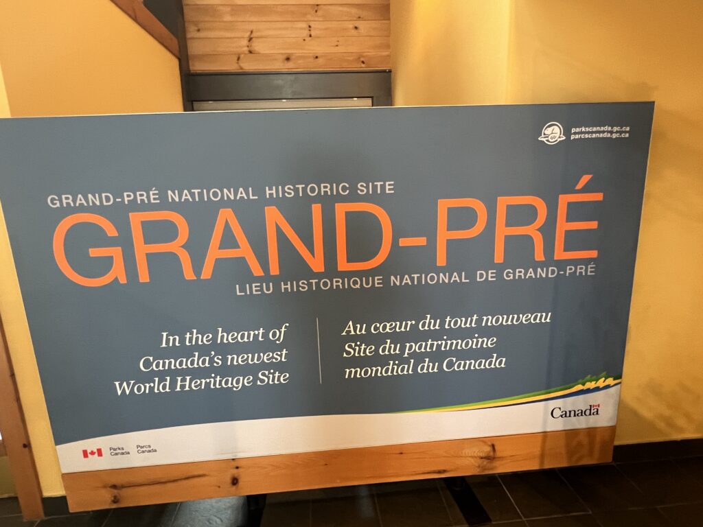
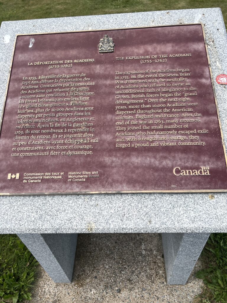
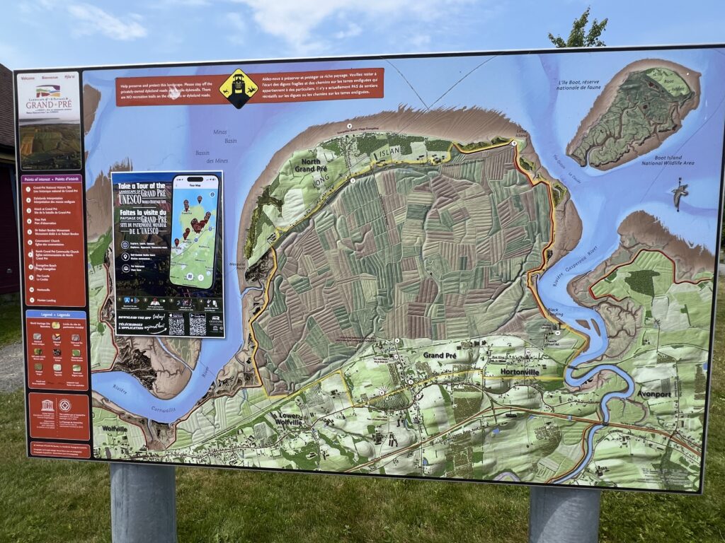
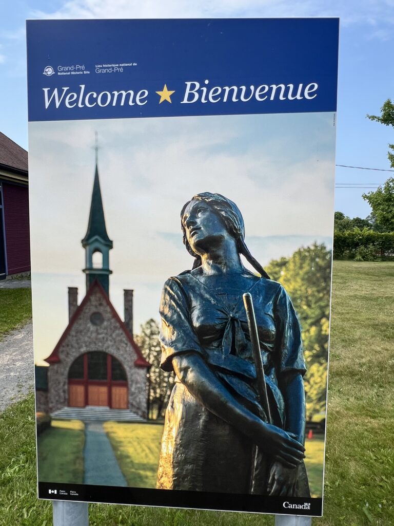
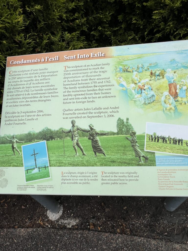
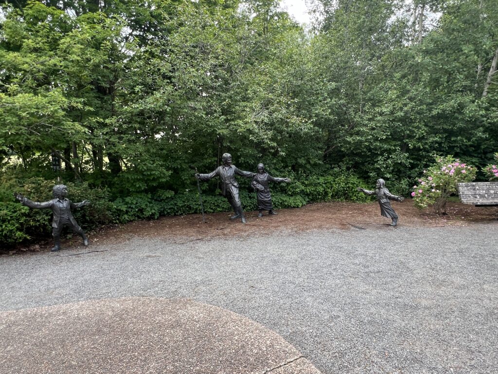
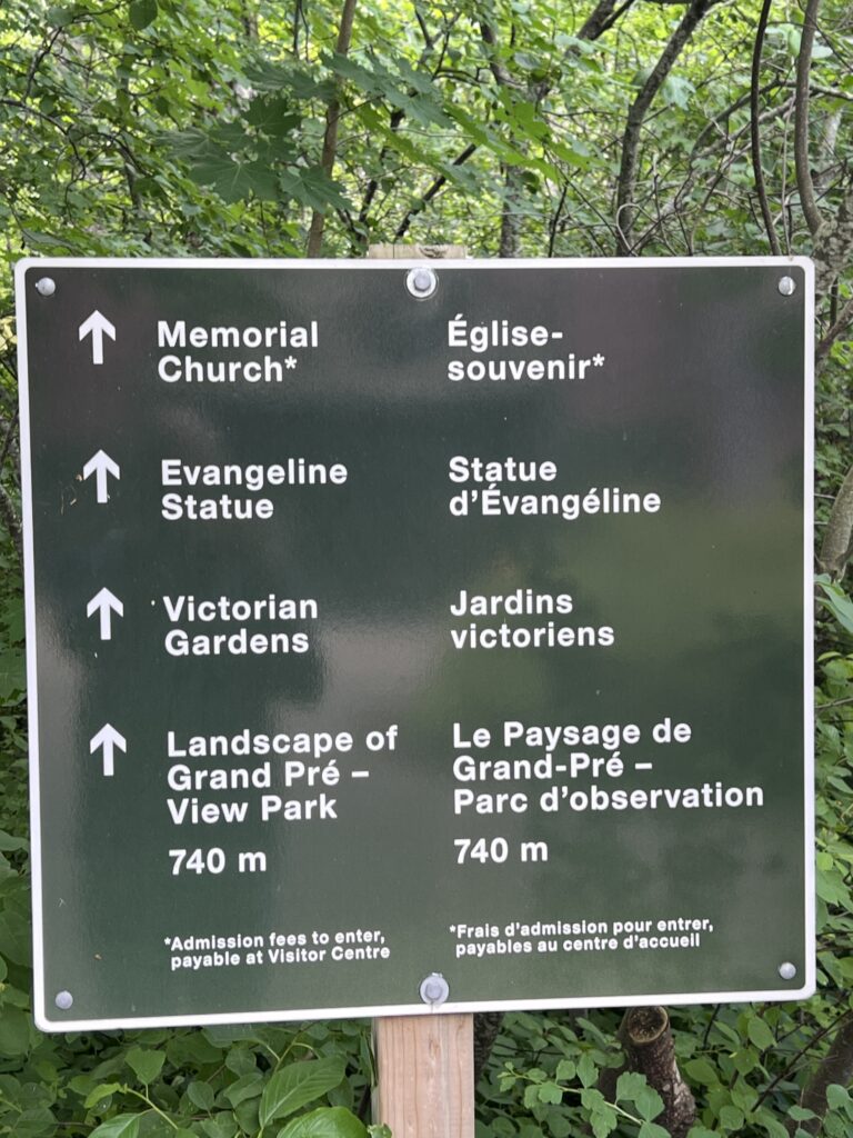
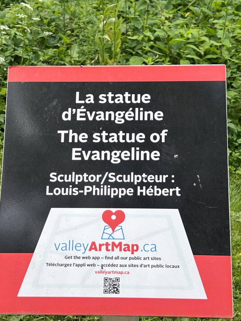
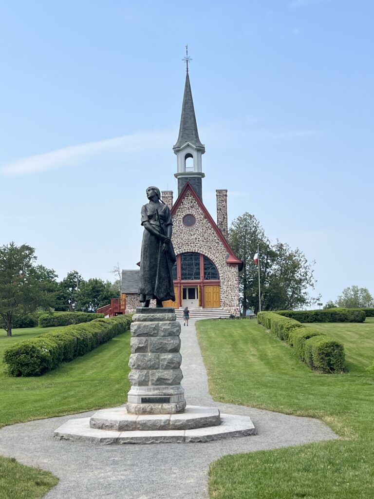
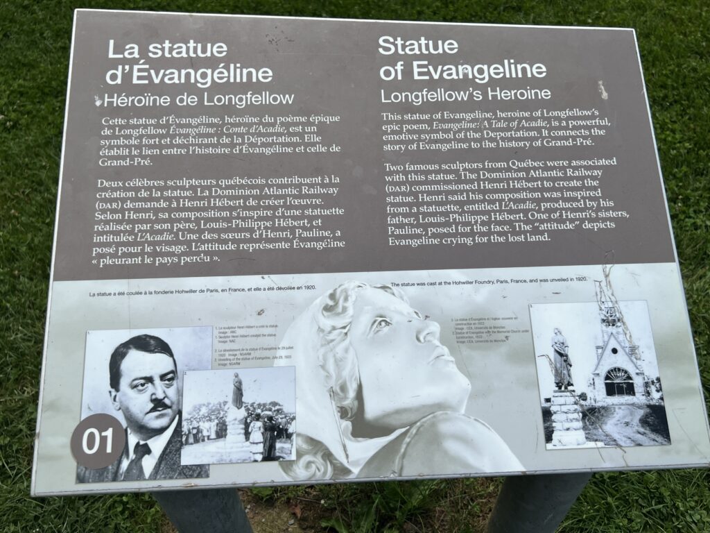
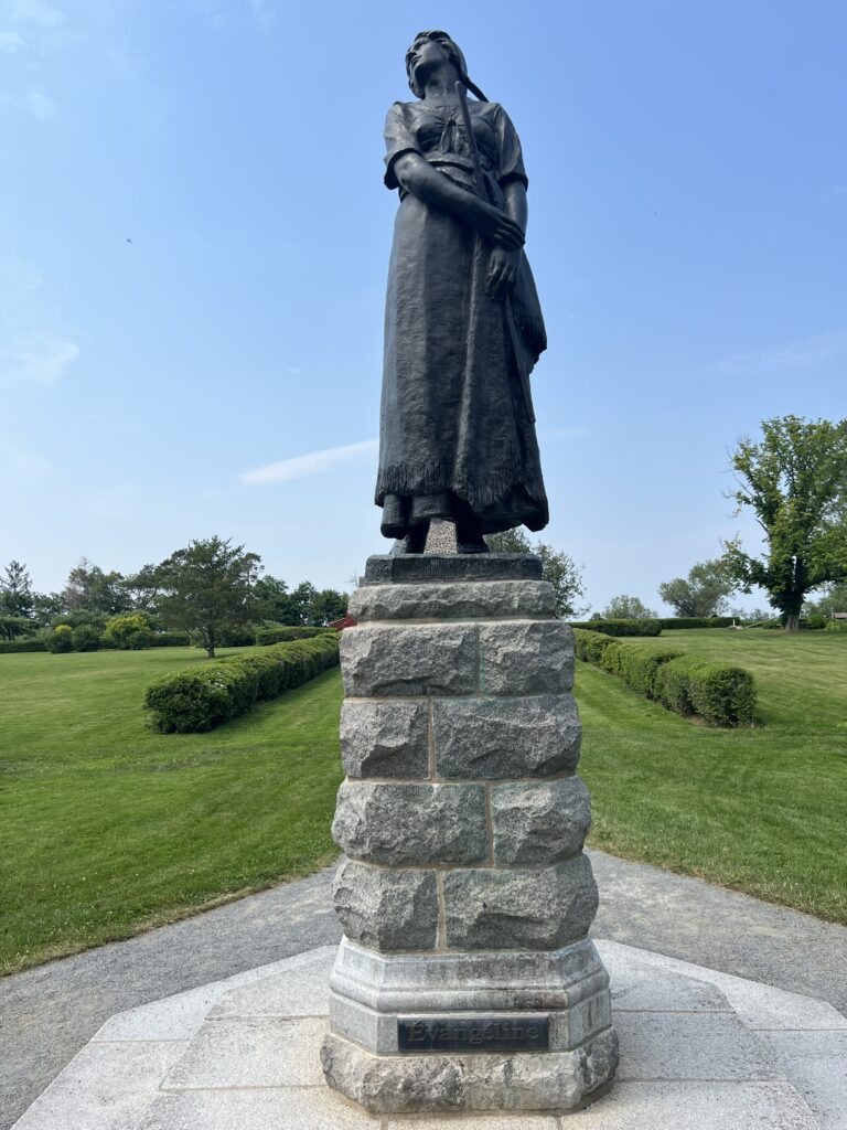
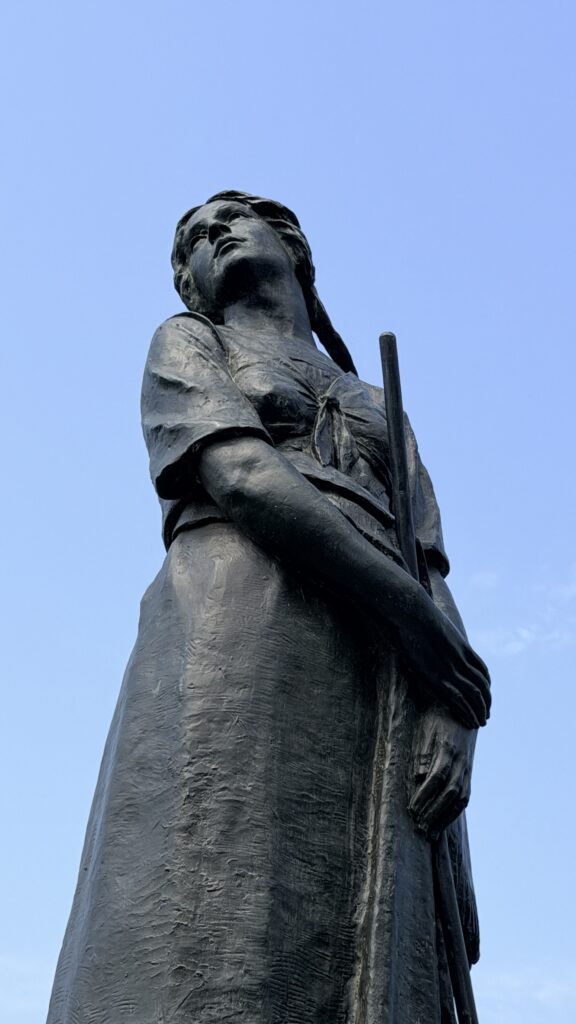
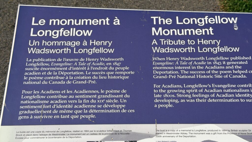
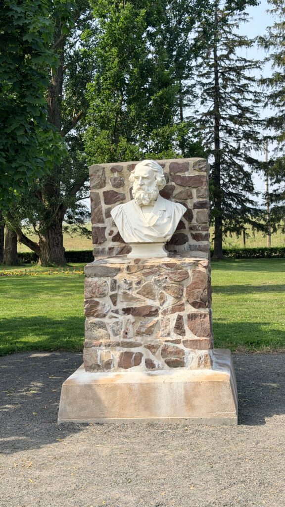
It is said that if Longfellow had not written the Evangline poem, this area would not be famous and the story of the expulsion of the Acadians would not be known.
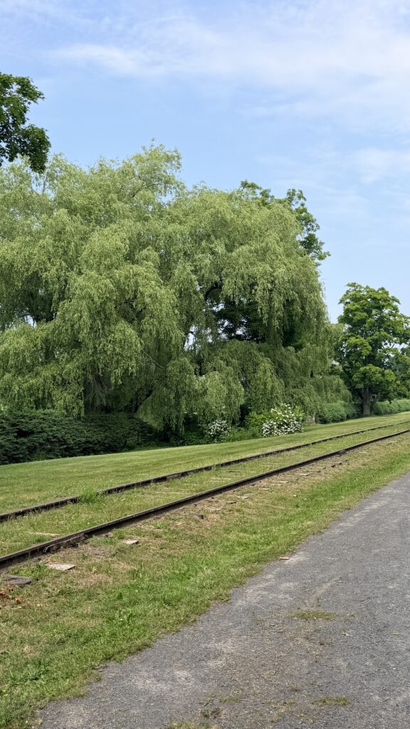
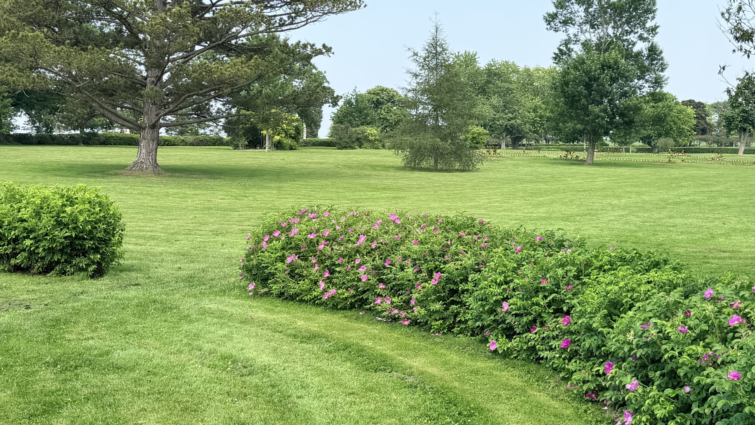
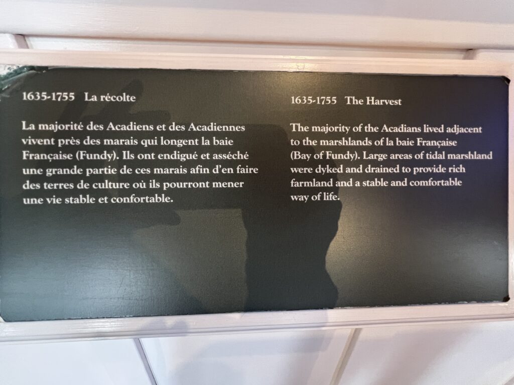
Situated in the southern Minas Basin of Nova Scotia, the Grand Pré marshland and archaeological sites constitute a cultural landscape bearing testimony to the development of agricultural farmland using dykes and the aboiteau wooden sluice system, started by the Acadians in the 17th century and further developed and maintained by the Planters and present-day inhabitants. Over 1,300 ha, the cultural landscape encompasses a large expanse of polder farmland and archaeological elements of the towns of Grand Pré and Hortonville, which were built by the Acadians and their successors. The landscape is an exceptional example of the adaptation of the first European settlers to the conditions of the North American Atlantic coast. The site – marked by one of the most extreme tidal ranges in the world, averaging 11.6 m – is also inscribed as a memorial to Acadian way of life and deportation, which started in 1755, known as the Grand Dérangement.
The Grand Pré ‘marshland’ and the remains of the associated old villages constitute a cultural landscape bearing testimony to a remarkable effort, over many centuries, using the polder technique to develop agricultural farmland, in a maritime location with extreme tides. In particular, it demonstrates the permanency of its hydraulic drainage system using dykes and aboiteaux and its agricultural use through a community-based management system established by the Acadians and then taken over by the Planters and their modern successors. Grand Pré is also testimony to the history of the Acadians in the 17th and 18th centuries and their deportation.
Grand Pré forms a vast area of polders or marshlands, in which the land division and crop farming methods have continued for three centuries. It is the most important example of its type in North America. The farming landscape is complemented by the strip land division method along the coastal area, bearing testimony to 17th century French colonization. The hydraulic system is based on an exemplary ensemble of dykes, aboiteaux to evacuate the water, and a drainage network. These techniques and community-based management have continued through to today. The property includes archaeological remains of the villages of Grand Pré and Hortonville that testify to the settlements and lifestyles of the Acadian settlers and their successors. The property and its landscape include traces of the major pathways that crossed the marshland and organized the adjacent coastal area. The locations of Grand Pré village and Horton Landing have memorial buildings and monuments erected in the 20th century in homage to the Acadian ancestors and their deportation, starting in 1755. The overall property forms the symbolic reference landscape for the Acadian memory and the main site for its commemoration.
The cultural landscape of Grand Pré bears exceptional testimony to a traditional farming settlement created in the 17th century by the Acadians in a coastal zone with tides that are among the highest in the world. The polderisation used traditional techniques of dykes, aboiteaux and a drainage network, as well as a community-based management system still in use today. The resultant rich alluvial soil enabled continuous and sustainable agricultural development.
Grand Pré is the iconic place of remembrance of the Acadian diaspora, dispersed by the Grand Dérangement, in the second half of the 18th century. Its polder landscape and archaeological remains are testimony to the values of a culture of pioneers able to create their own territory, whilst living in harmony with the native Mi’kmaq people. Its memorial constructions form the centre of the symbolic re-appropriation of the land of their origins by the Acadians, in the 20th century, in a spirit of peace and cultural sharing with the English-speaking community.
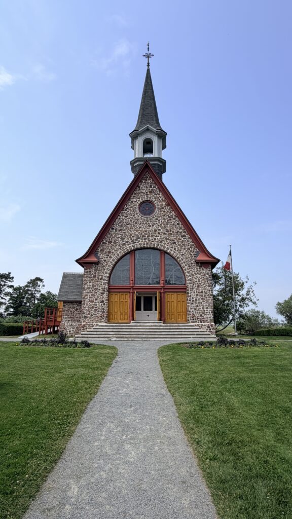
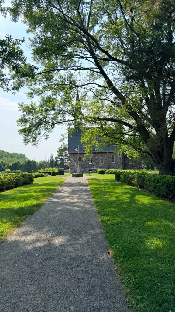
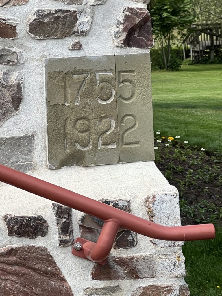
The Memorial Church at the Grand-Pré National Historic Site in Nova Scotia was built in 1922. Designed by architect René-Arthur Fréchet in 17th-century Normandy style, it stands as a central monument to Acadian nationalism and honors the tragedy of the 1755 Deportation.
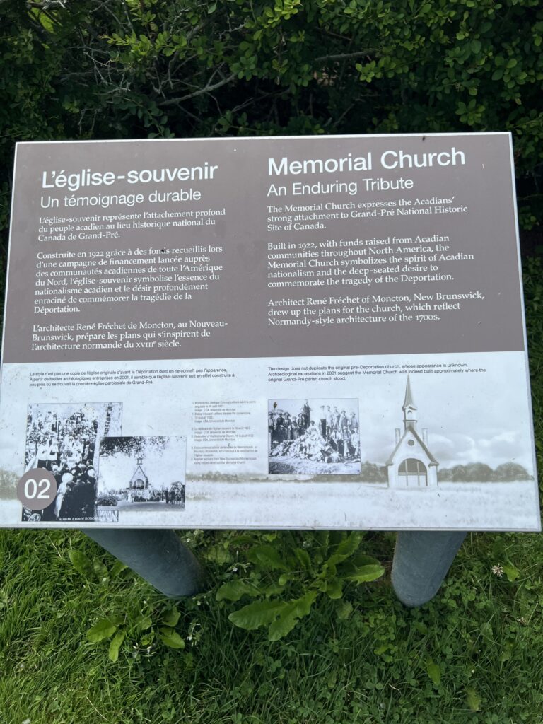
The Memorial Church expresses the Acadian’s strong attachment to Grand-Pré National Historic Site of Canada.
Built in 1922, with funds raised from Acadian communities throughout North America, the Memorial Church symbolizes the spirit of Acadian nationalism and the deep-seated desire to commemorate the tragedy of the Deportation.
Architect René Fréchet of Moncton, New Brunswick, drew up the plans for the church, which reflect Normandy-style architecture of the 1700s.
The design does not duplicate the original pre-Deportation church whose appearance is unknown. Archaeological excavations in 2001 suggest the Memorial Church was indeed built approximately where the original Grand-Pré parish church stood.
The church lies near the site’s focal Evangeline statue and features several significant historical elements:
- Interior & Windows: The vaulted sanctuary contains striking stained glass, including a window depicting the Acadian expulsion.
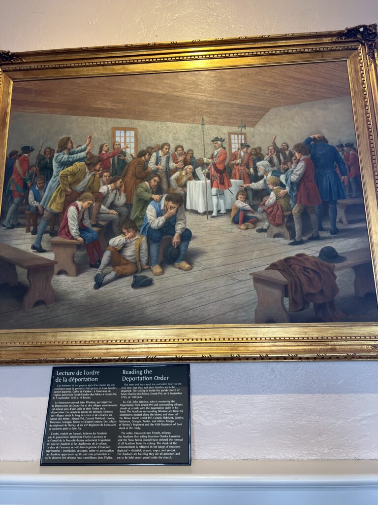
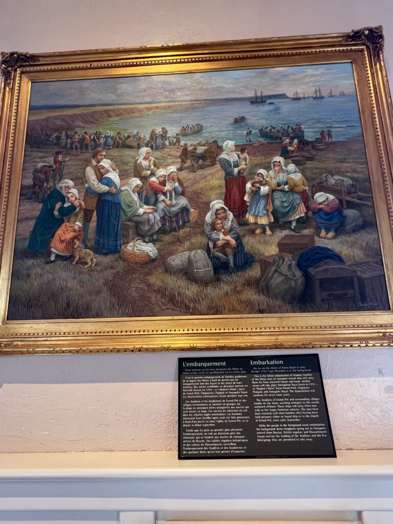
- Historical Murals: Inside, you will find beautiful paintings of the deportation created by artist Claude Picard.
- Location: Archaeological excavations suggest it sits approximately where the original Saint-Charles-des-Mines parish church stood before the expulsion.
Description of Historic Place
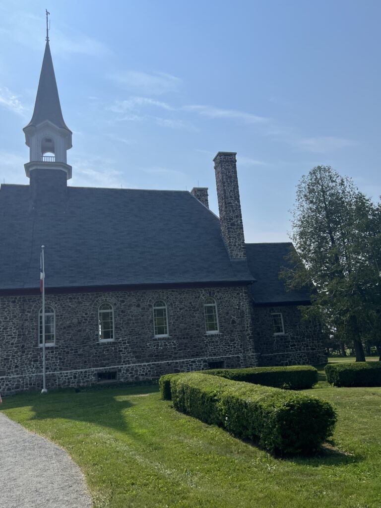
The dominant structure in Grand-Pré National Historic Site, the Grand-Pré Commemorative Church is a simple, rectangular-plan stone building with a steeply pitched bell-cast roof. It has a simple front-end gable, and above the large front double doors is a round window containing a stained glass depiction of the Acadian expulsion. The Church interior is illuminated by small arched windows, which pierce the sidewalls. The designation is confined to the footprint of the building.
Heritage Value
The Commemorative Church is a Classified Federal Heritage Building because of its historical associations, and its architectural and environmental values.
Historical Value:
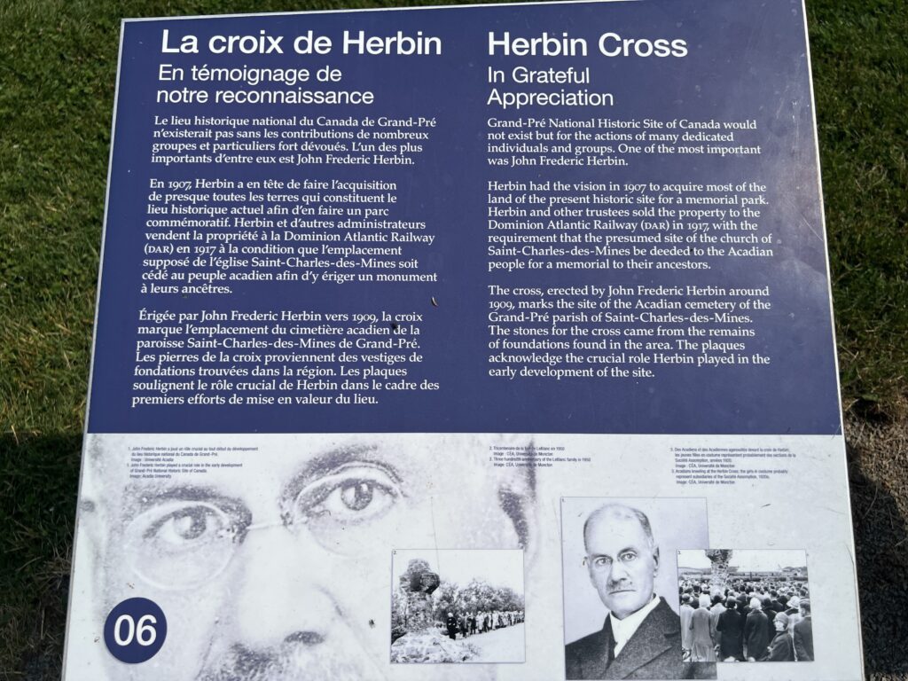
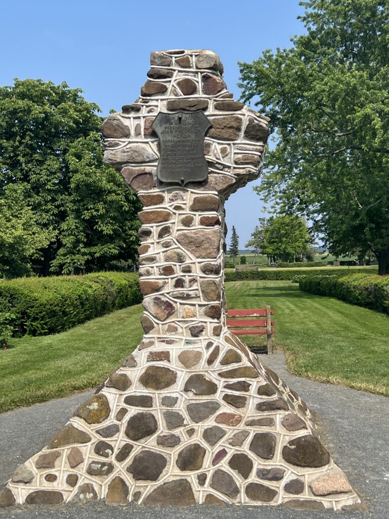
The Commemorative Church in Grand-Pré is one of the best examples of a structure built to present and commemorate the Acadian expulsion as popularized in the poem of Evangeline by Henry Wordsworth Longfellow. The Grand-Pré site is commonly accepted as the location where the Acadians were held before the deportation. The site is also associated with the historian John Frederic Herbin, who formed the Grand-Pré Preservation-Restoration and Acadian-Longfellow Memorial Movement, with the aim of purchasing the present site and developing it as an Acadian memorial.
Architectural Value:
The Commemorative Church is a very good example of a structure built in the traditional Quebec manner. Its value lies in its emulated eighteenth century French Regime design, and in its French vernacular architectural influence, as exemplified by the flared eaves. Its value also lies in the very good quality of its materials and craftsmanship.
Environmental Value:
The Commemorative Church is the dominant structure in Grand-Pré National Historic Park and establishes the historic character of the area. It is a familiar and symbolic landmark to both residents and visiting tourists.
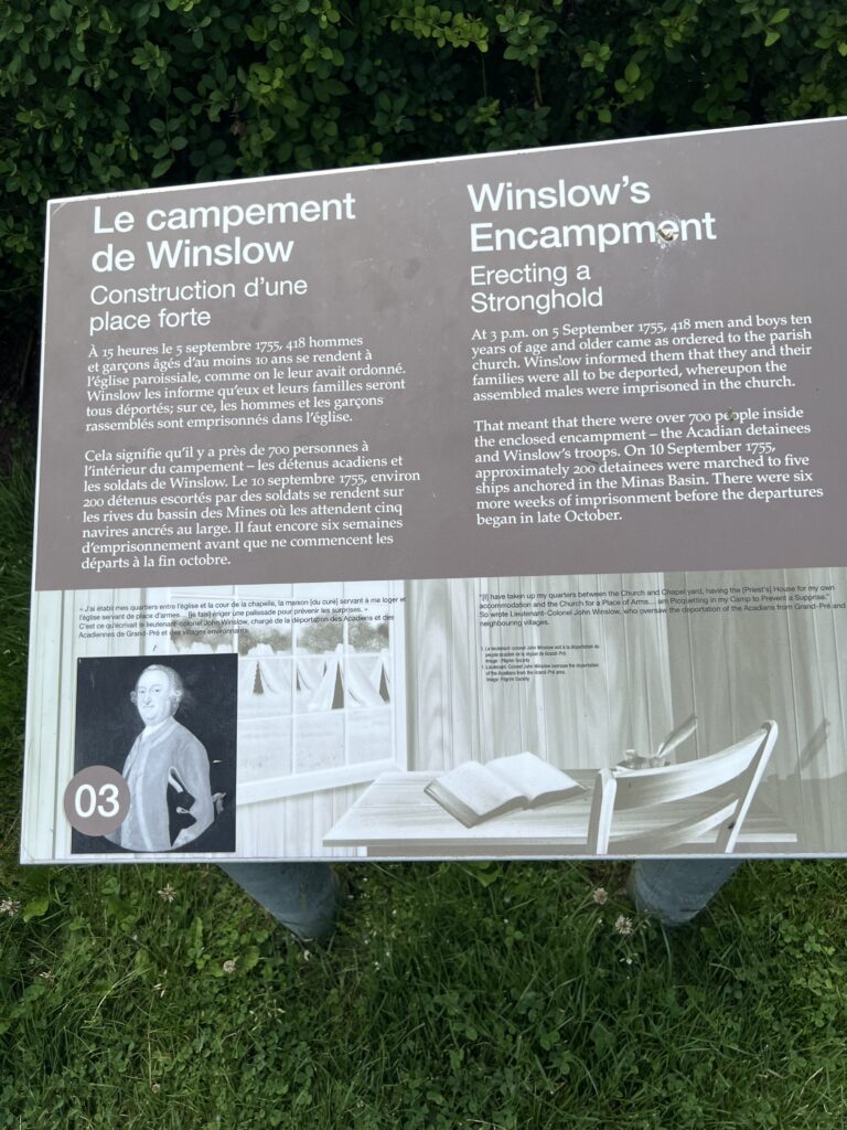
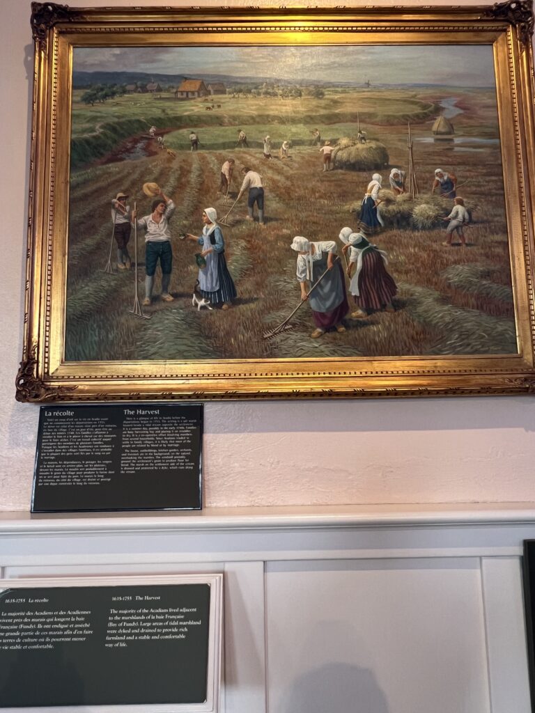
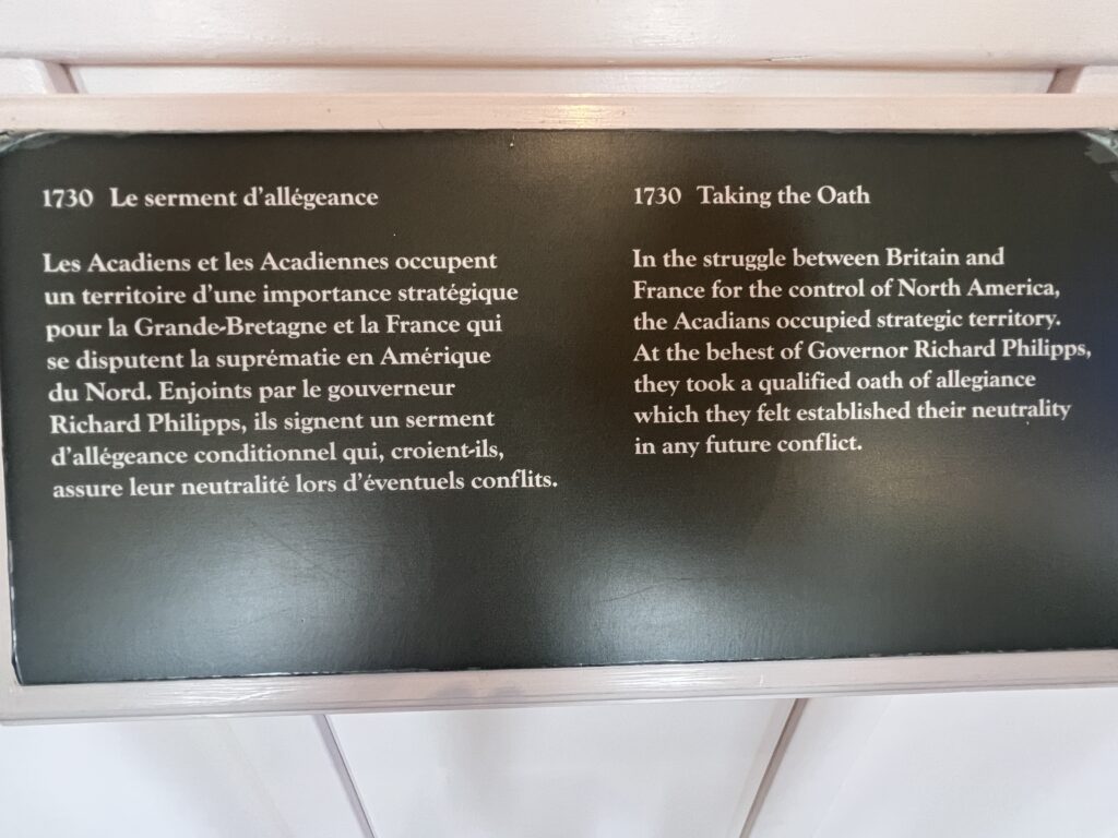
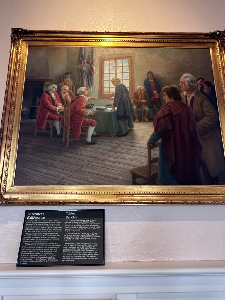
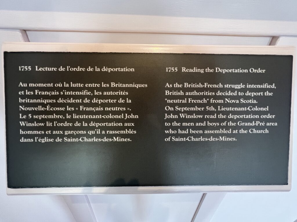
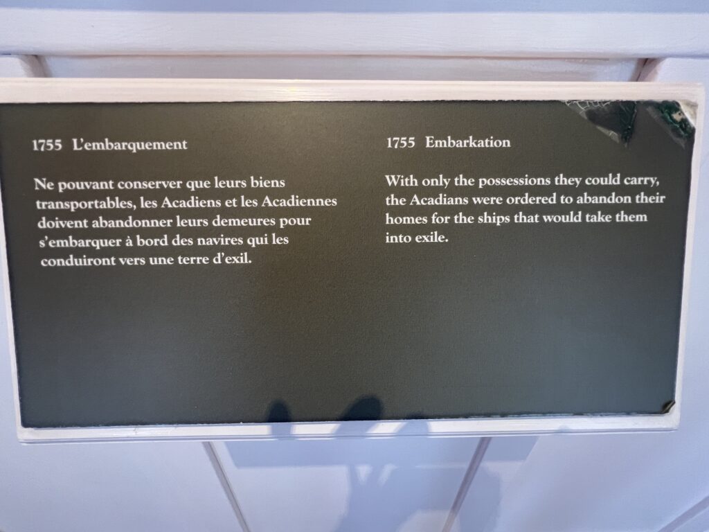
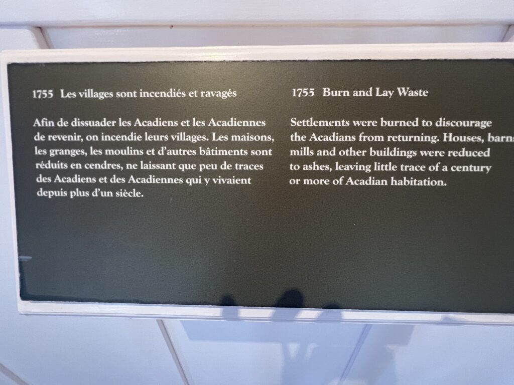
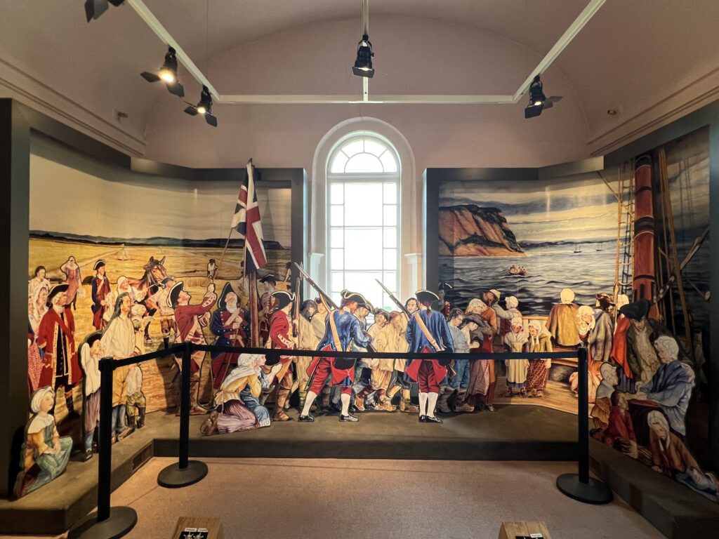
Paintings and descriptions inside the church explaining the events that led to the expulsion.
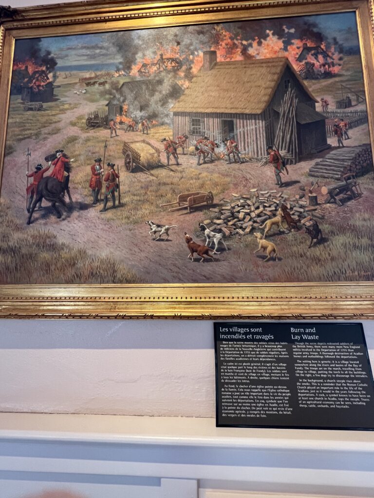
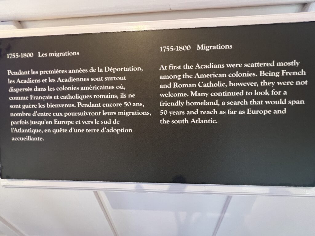
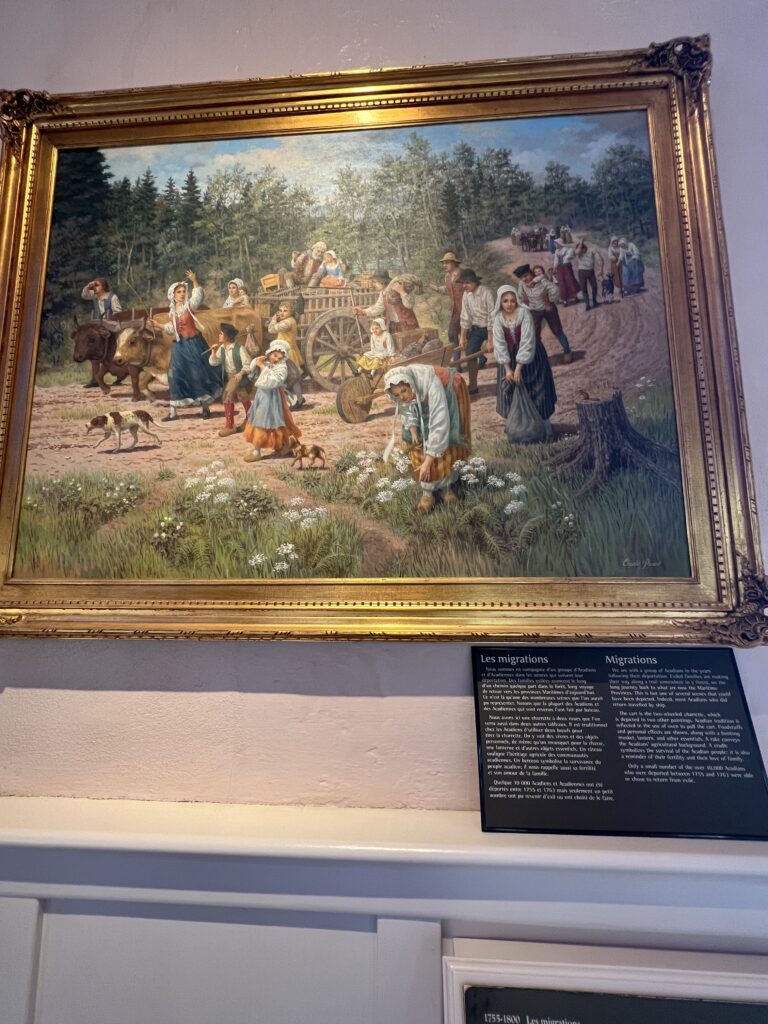
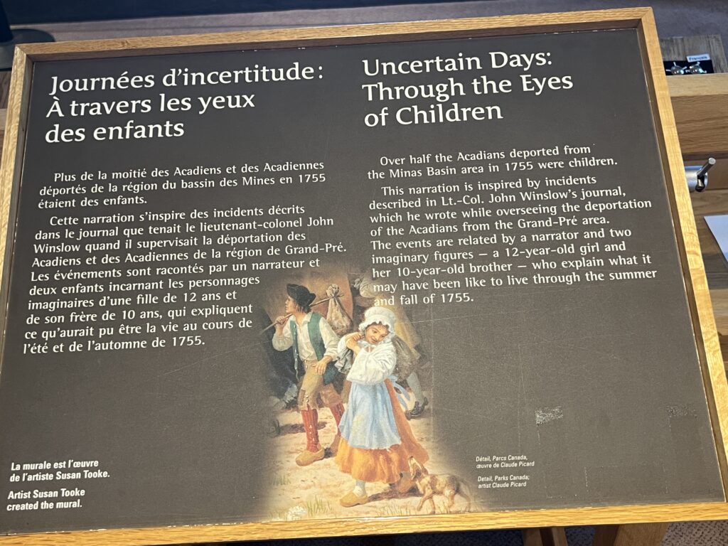
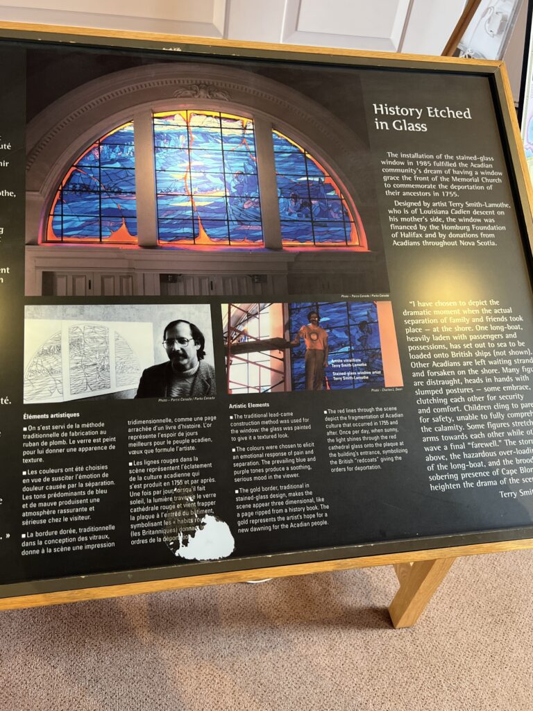
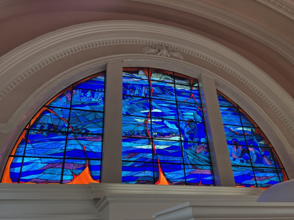
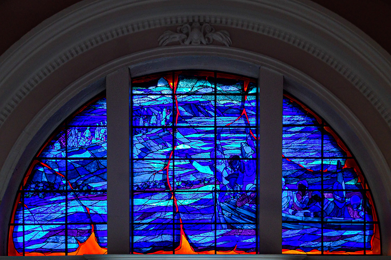
The stained glass window at the Memorial Church has got to be one of Grand-Pré’s most striking features! The stained-glass window  located in the Grand-Pré memorial church was installed in 1985 by Terry Smith-Lamothe, a Cajun artist
  from Louisiana.
It depicts a tragic scene from the deportation. When the sun  shines through the window, it lights up the golden plaques in the church containing the names of the late Acadians who once lived in the region.
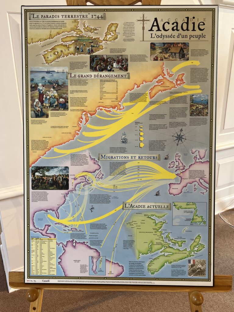
Maps on posters describing the events
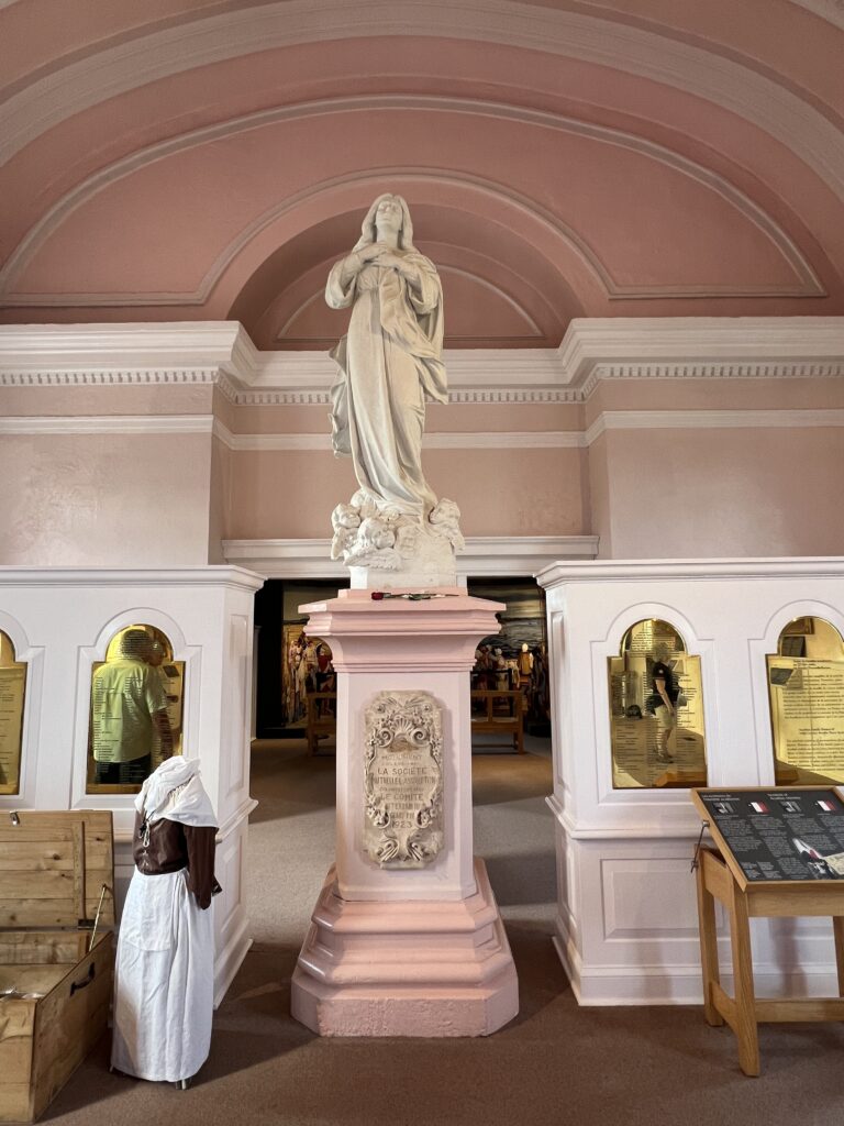
Statue in the church. The gold panels list the names of the Acadians who were deported.
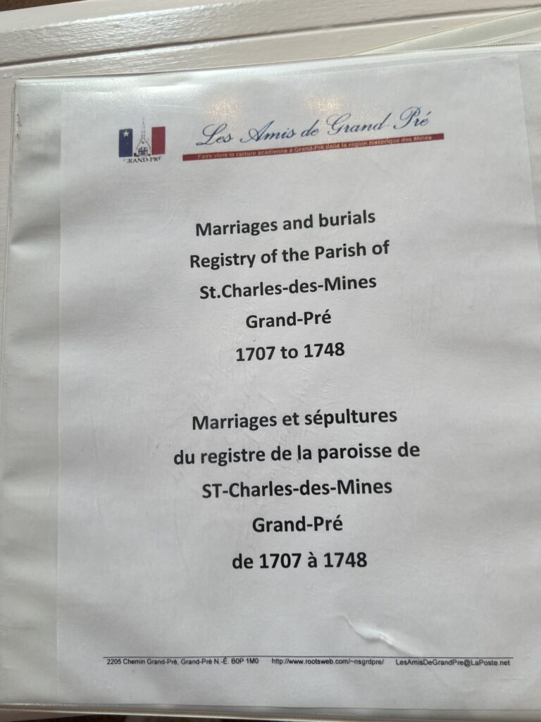
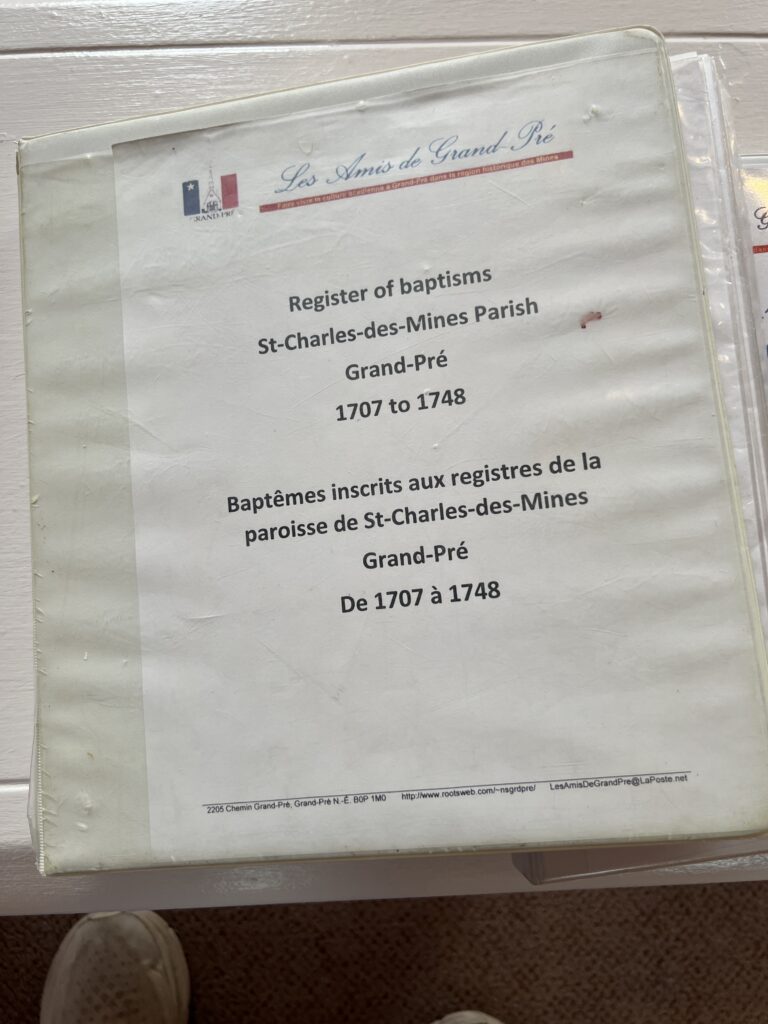
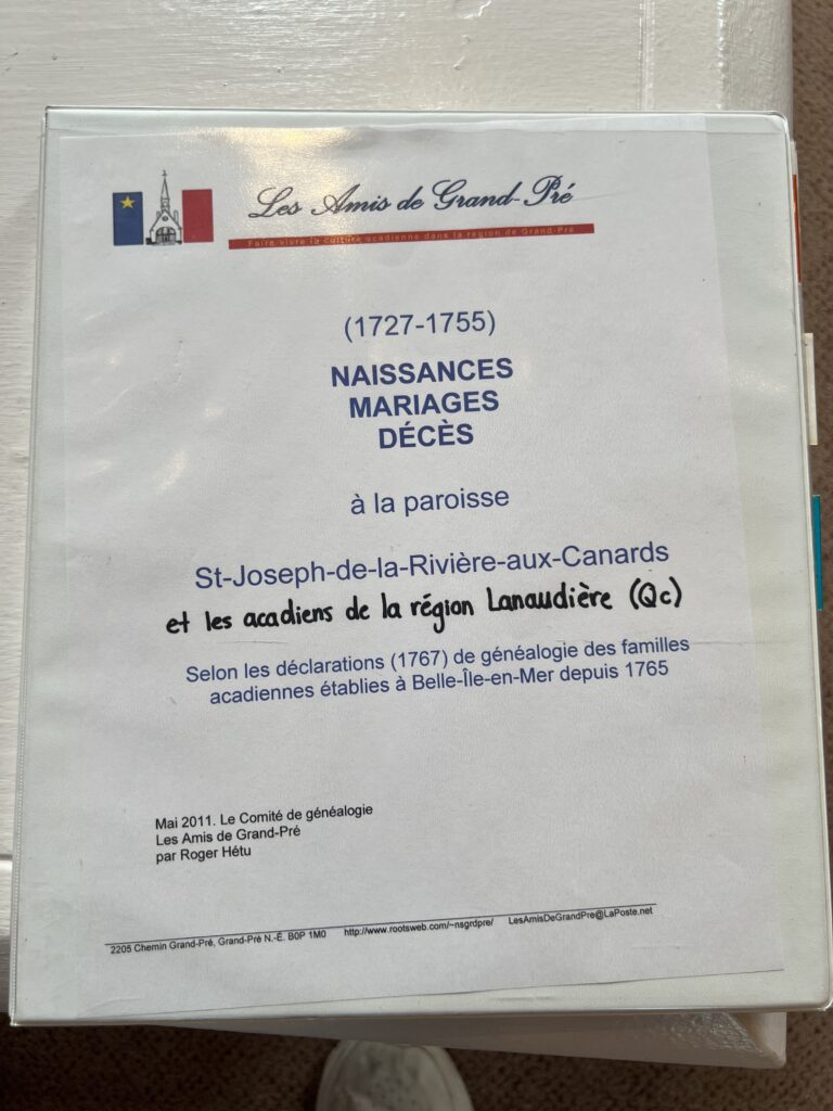
These three binders hold a great deal of valuable information. Sadly, we only had time to open the binders and thumb through quickly. It would be fun to have more time to read through.
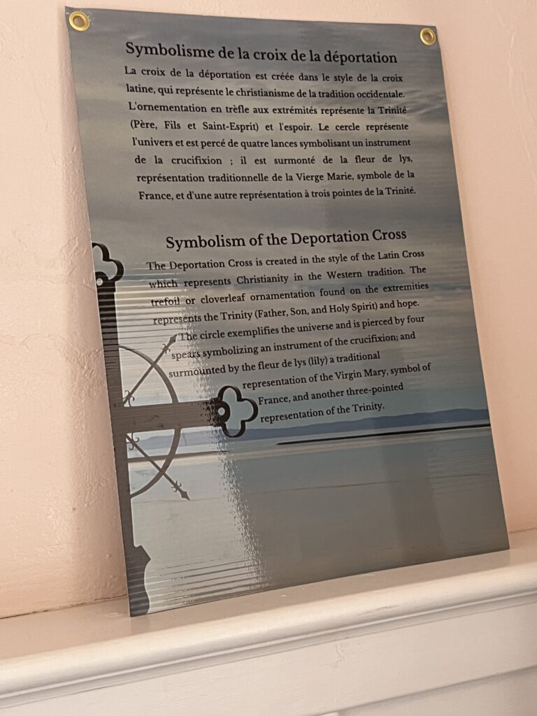
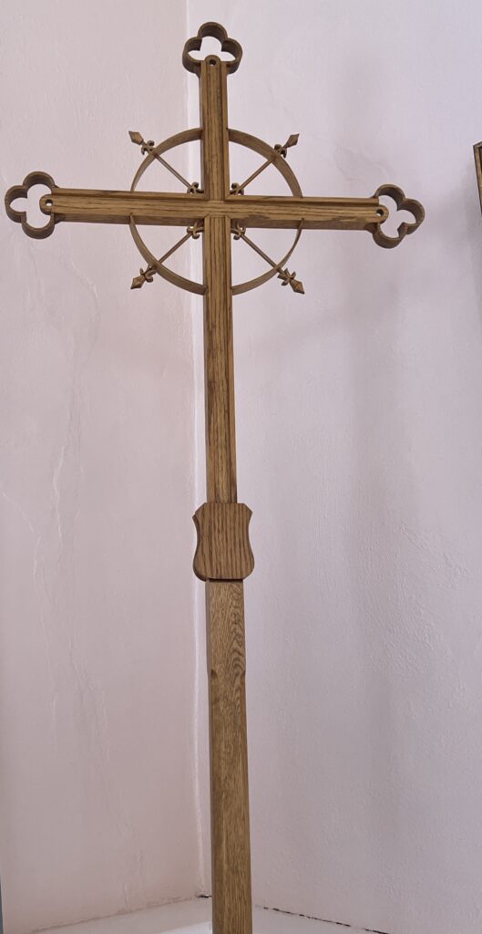
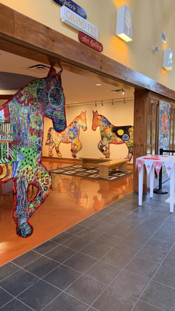
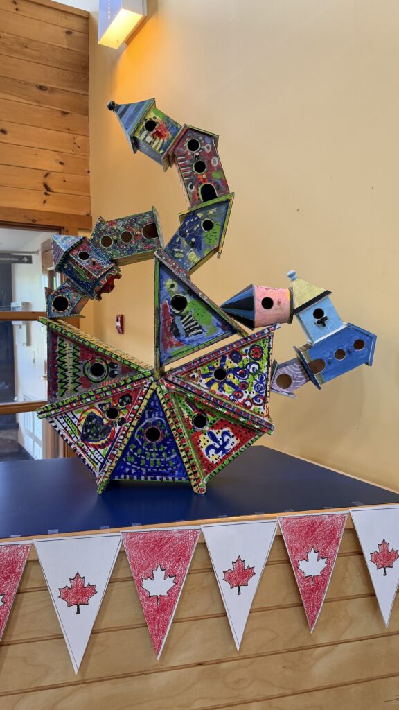
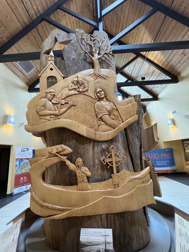
We were rushed for time when we arrived back at the museum and now realize we only have a few photos on the inside.
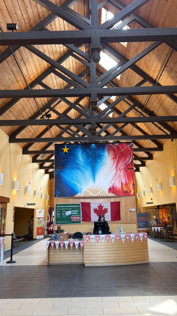
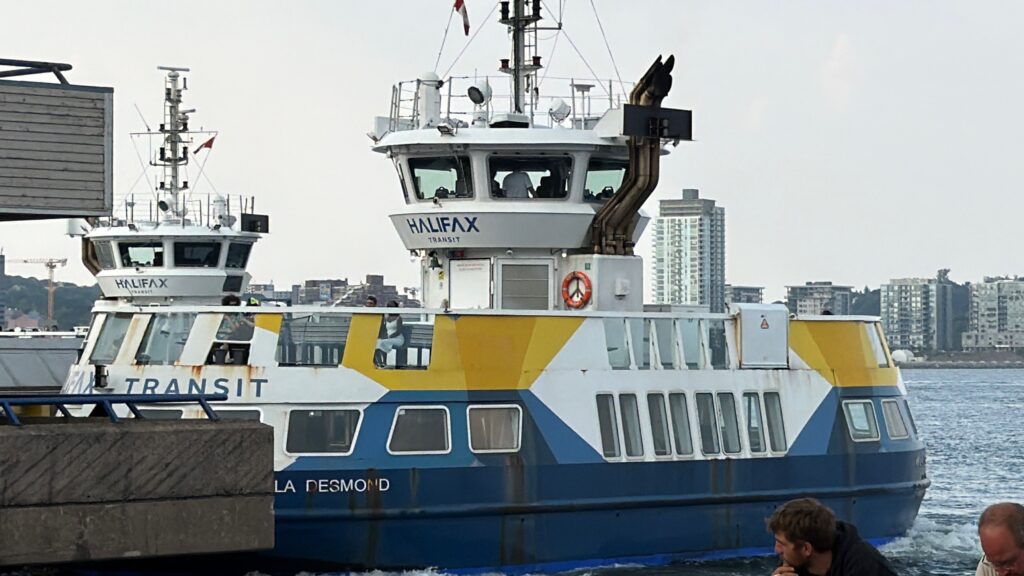
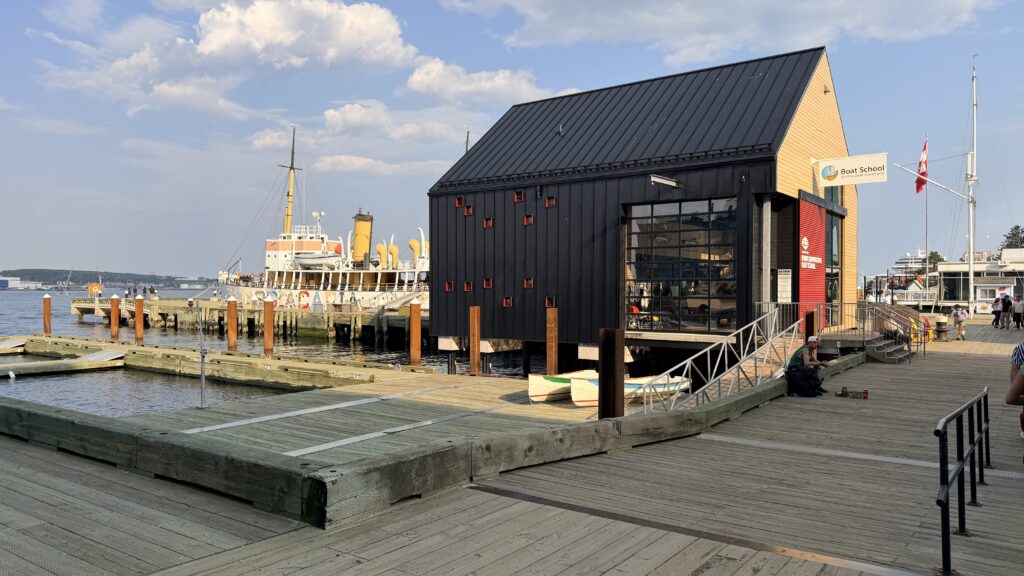
We arrived at the ship to discover after our mad rush to return, we found out the ship was not leaving until the next day at 10am or noon (we cannot recall the exact departure time). Since we had the evening, we decided to walk along the pier and grab some dinner. Below is the ferry that takes you to the island with the lighthouse on it.
The Halifax Waterfront Boardwalk is a public footpath located on the Halifax Harbour waterfront in Halifax, Nova Scotia, Canada.
Constructed of durable heavy timber, the Halifax boardwalk is open to the public 24 hours a day. The boardwalk also includes shops at Bishop’s Landing and the Historic Properties buildings as well as the “Cable Wharf“, a former cable ship terminal now used as a tour boat base for several vessels formerly including Theodore Too. A fleet of tugboats operated from the tug wharves at the foot of Salter Street for over a hundred years, including the famous tug Foundation Franklin but in 2010 the last tugs such as Point Chebucto were transferred to Port Hawkesbury. The final working vessels to regularly operate from the waterfront were pilot boats which were based at a small pier at the foot of Sackville Street, but in late 2020 their base moved to a wharf in Dartmouth near the foot of the Macdonald Bridge. The former tug and pilotage wharves have since been partially demolished and refurbished to make way for new public amenities.
The boardwalk’s southern terminus is at Halifax Seaport. It stretches northwards along the coast for approximately 4 km (2.5 mi) before it terminates in front of Casino Nova Scotia at its northern terminus. Three notable museums are located on the waterfront. The Pier 21 immigration museum is located at the southern terminus. The Maritime Museum of the Atlantic at the boardwalk’s centre and includes the museum ship CSS Acadia. Just south of Acadia is the summer home of the museum ship HMCS Sackville.
The Halifax Waterfront Boardwalk is a 4-kilometer (2.5-mile) continuous, wheelchair-accessible wooden pathway stretching from the Canadian Museum of Immigration at Pier 21 in the south to Casino Nova Scotia in the north. It is one of the longest continuous urban boardwalks in the world and serves as the vibrant, cultural heart of downtown Halifax.
Key Highlights
- Historic Vessels & Museums: Located at the center of the boardwalk is the Maritime Museum of the Atlantic, where you can view historic ships like the CSS Acadia and HMCS Sackville.
- Shopping & Dining: The route is lined with local shops, patios, and food kiosks. Highlights include local favorites like East Coast Lifestyle, Peace by Chocolate, and the high-end Queen’s Marque district.
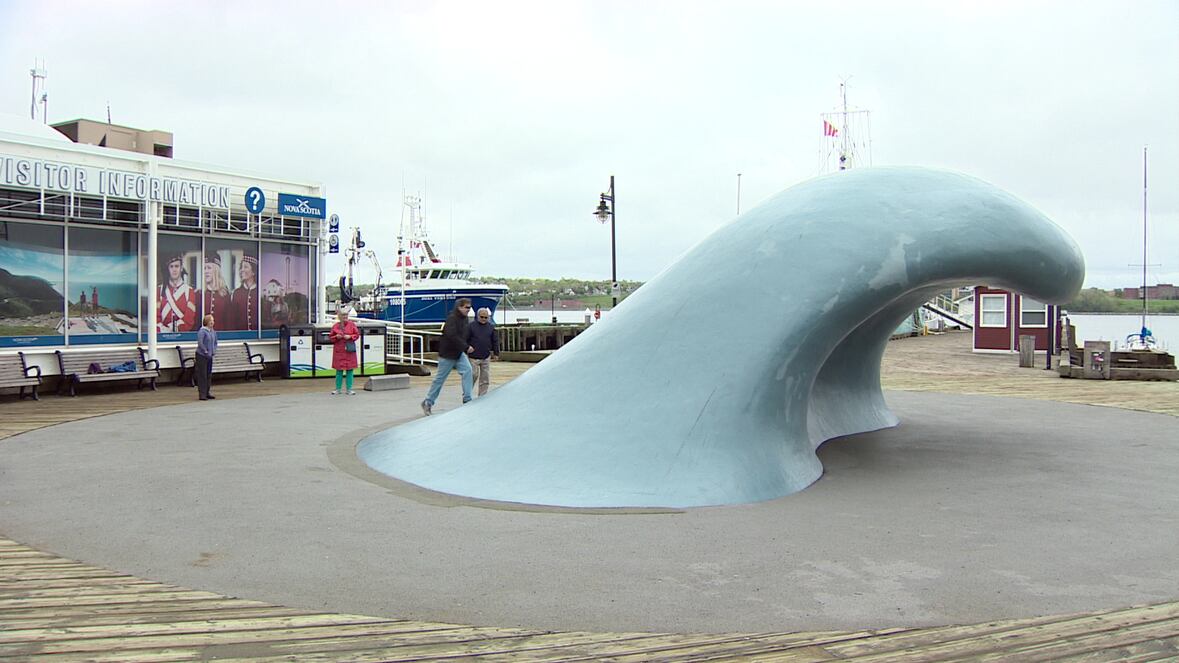
- Public Art & Relaxation: Take a break in the iconic orange Adirondack chairs and hammocks along the Salter Boardwalk, or snap a photo by the famous blue “Wave” sculpture.
- Harbour Ferries & Tours: Hop aboard the Halifax Transit Ferry to Dartmouth, or book a sail on the Tall Ship Silva for scenic views of the harbor.
The Perfect Day on the Halifax Waterfront – Tourism Nova Scotia
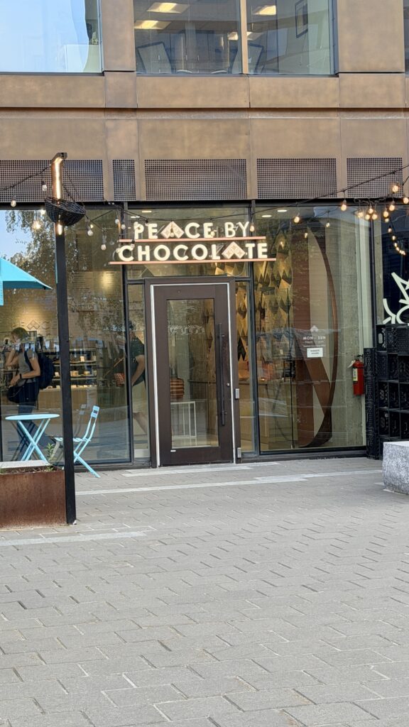
Cotton candy ice cream


The Wave: Located in the middle of the boardwalk, this striking, standalone blue sculpture created by Donna Hiebert is a popular, colorful gathering point and early example of public art in the city.
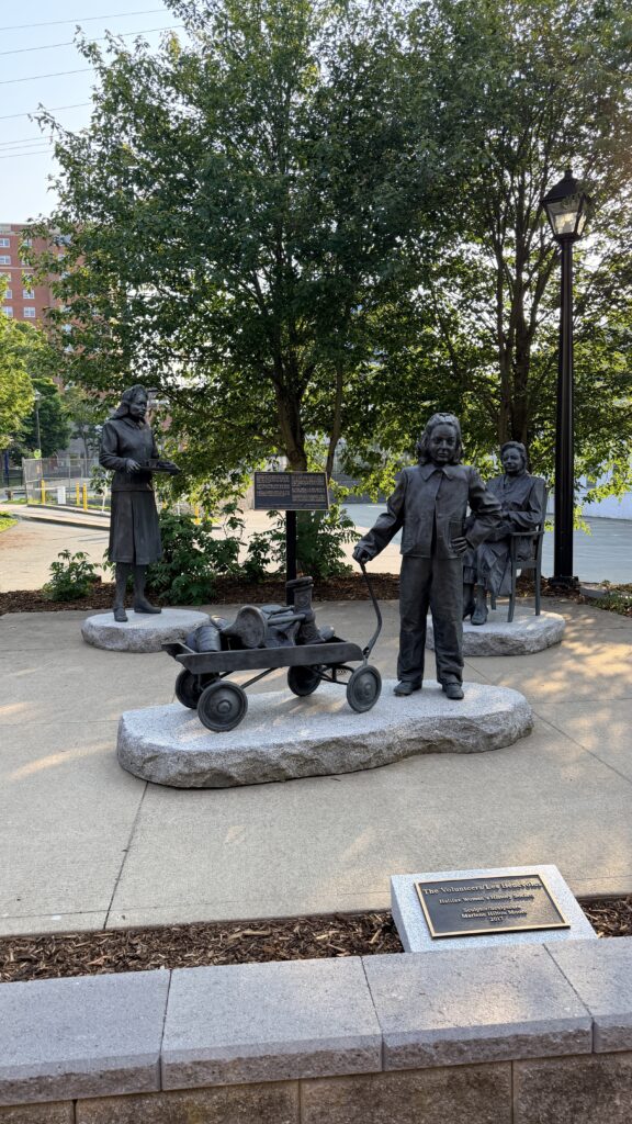
The Volunteers (or Les Bénévoles). Located on the Halifax waterfront boardwalk, this bronze monument honors the thousands of women and girls who supported the war effort at home during World War II.
The life-sized, ground-level sculpture by artist Marlene Hilton Moore features three generations of women:
- The Girl: A young girl pulling a wagon filled with salvaged metal (scrap for the war effort).
- The Server: An African-Nova Scotian woman holding a tray of coffee and sandwiches used to feed servicemen.
- The Knitter: An older woman seated in a chair knitting while holding a traditional Mi’kmaq basket
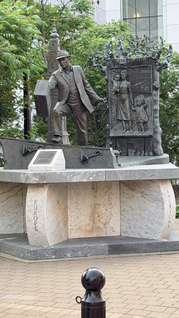
The “man with a suitcase” statue on the Halifax waterfront is formally known as The Emigrant. Created by sculptor Armando Barbon, this bronze and marble sculpture depicts a man in a suit and fedora holding a single piece of luggage, representing the millions of immigrants who arrived in Canada through Pier 21.
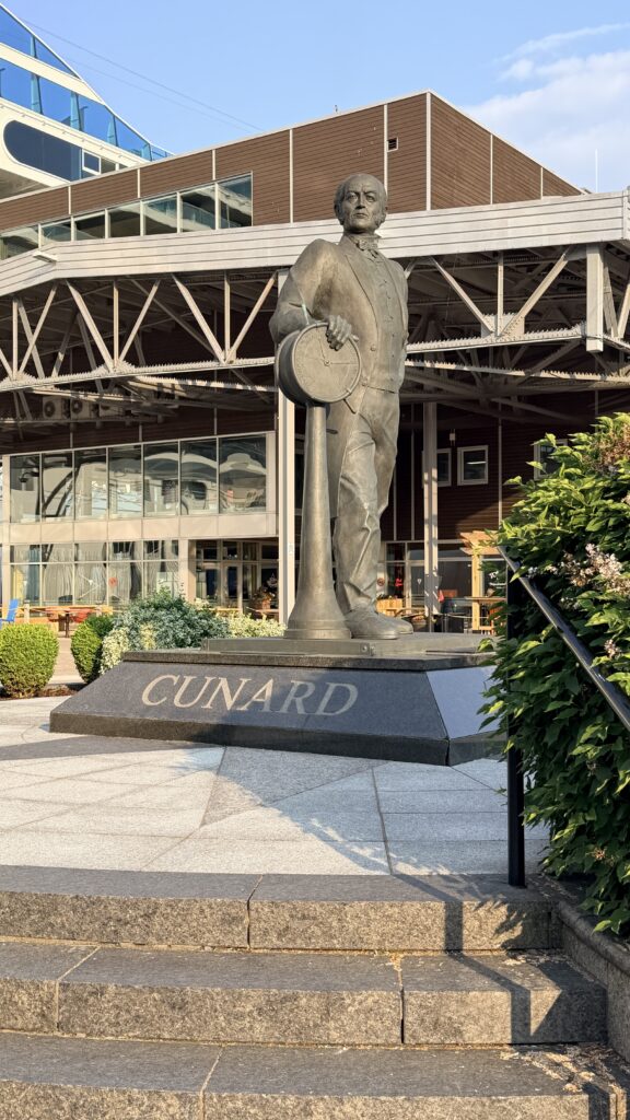
The 10-foot bronze statue of Sir Samuel Cunard (the Halifax-born founder of the Cunard Line) is a major landmark on the Halifax Waterfront Boardwalk. Located near the cruise ship terminal and Pier 21 (at 1215 Marginal Road), it was sculpted by Peter Bustin and unveiled in October 2006.
Historical Significance: Sir Samuel Cunard (1787–1865) revolutionized transatlantic shipping by establishing the first regular steamship mail service across the Atlantic, which eventually evolved into the famous cruise line.
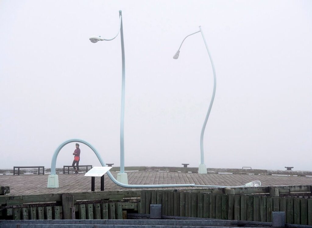
One look at this artwork on the waterfront boardwalk and you’ll get why locals refer to it as the “Drunk Lampposts” and why it’s the site of a thousand selfies.
Since 2013, Chris Hanson and Hendrika Sonnenberg’s twisted lampposts have parodied the after-hours stagger home you can witness downtown any Friday night.
The lampposts were originally commissioned for Toronto’s Nuit Blanche, and came to town as part of a temporary display before becoming a permanent fixture. And yes, they really light up after dark.
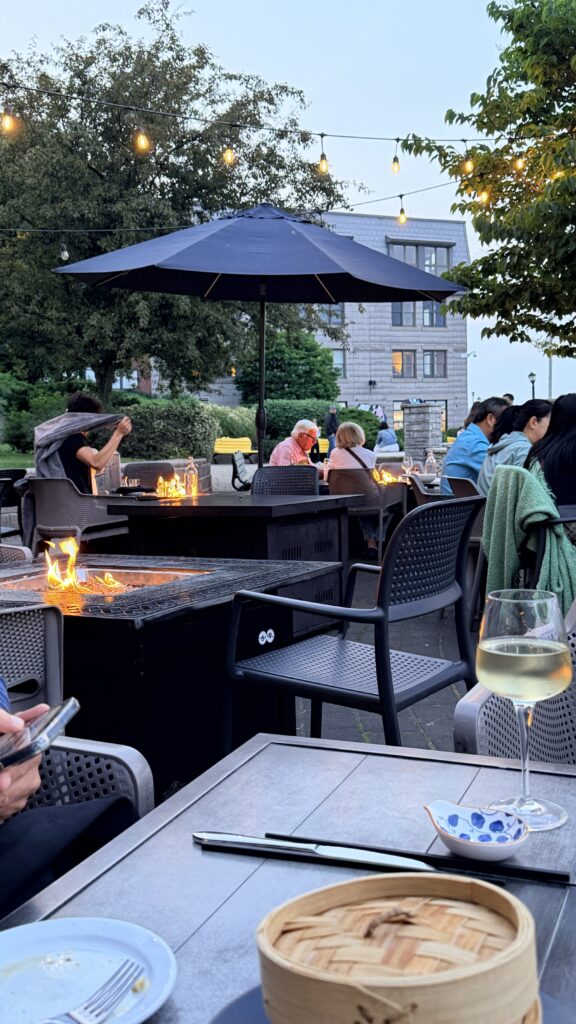
It was time to find some dinner
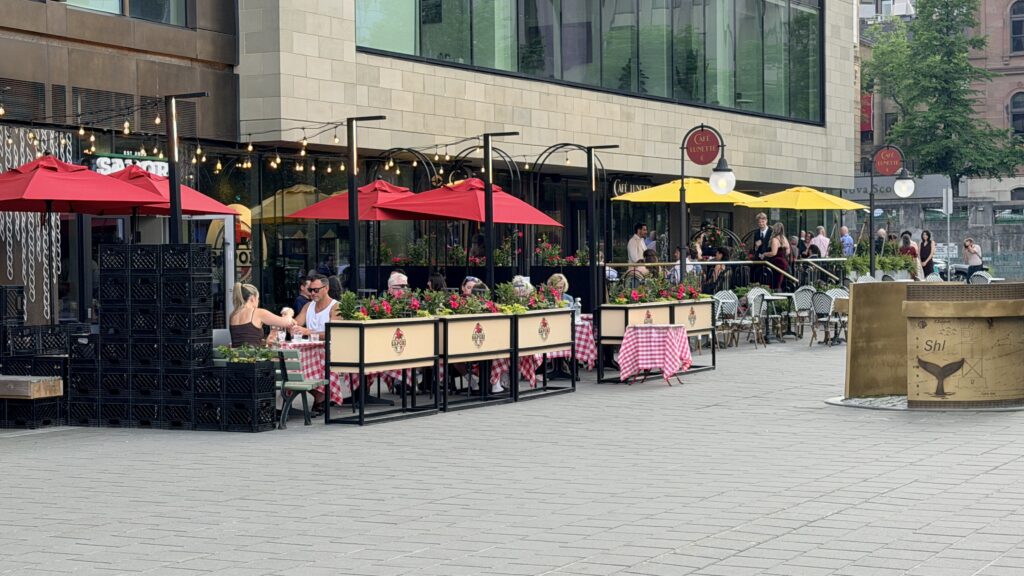
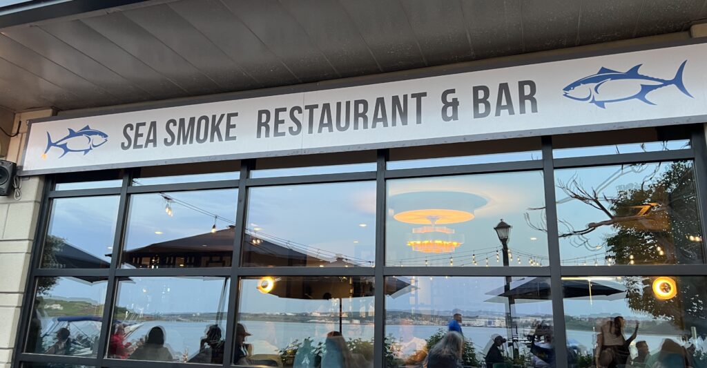
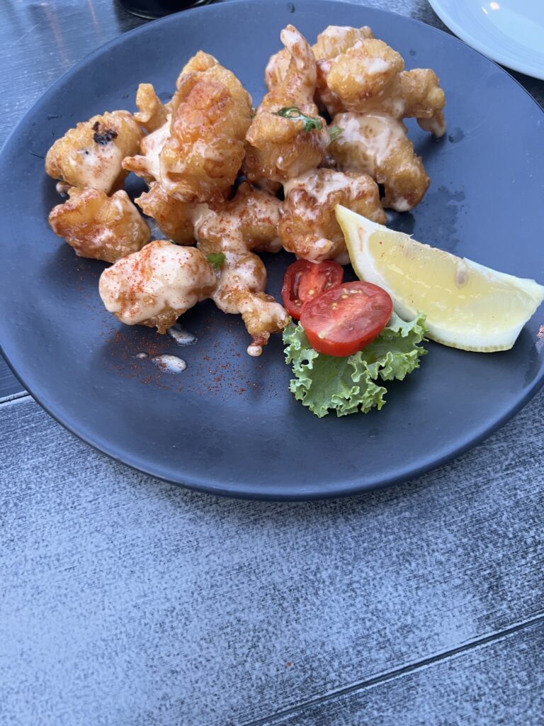


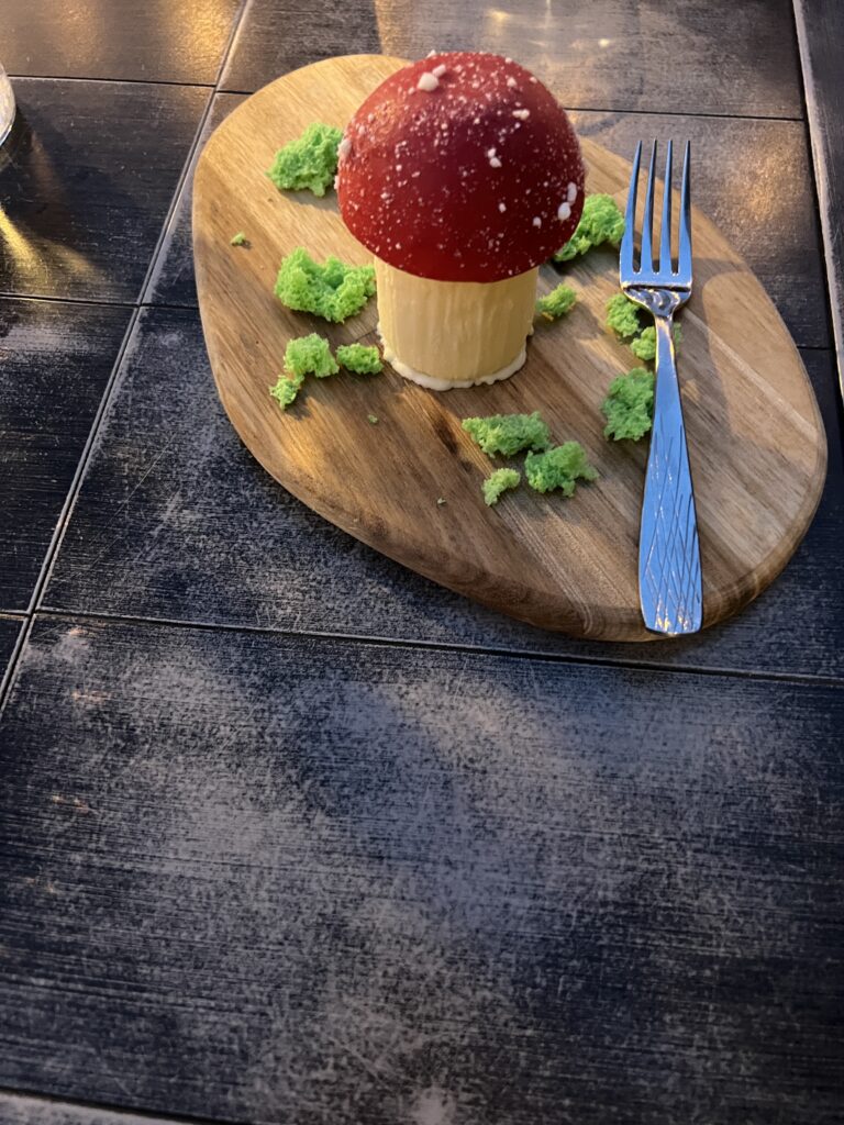
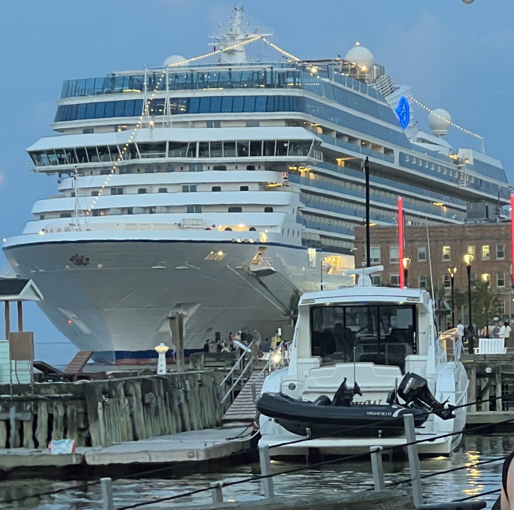
And some photos from our table while having dinner
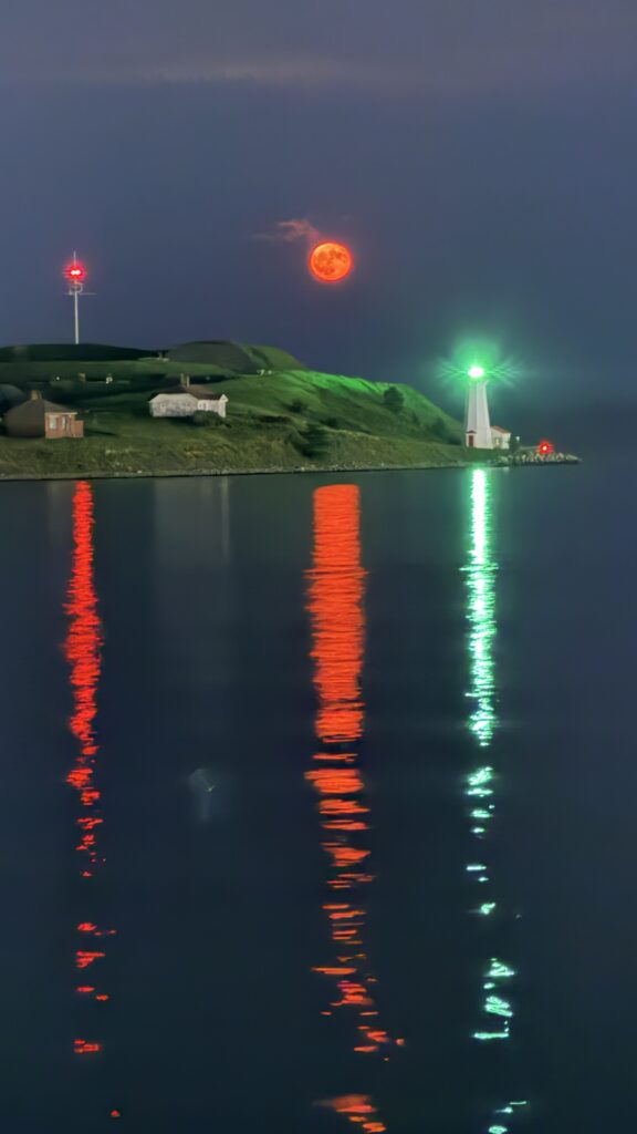
To finish the evening as we walked back to the ship we captured a red moon. A “Red Moon,” frequently called a “Blood Moon,” is a stunning natural phenomenon that occurs during a total lunar eclipse. It happens when the Earth moves directly between the Sun and the Moon, completely blocking direct sunlight from hitting the lunar surface
We are expected to leave at 10am or noon tomorrow for New York City.