Day 77 May 23rd Saturday – We did a ship excursion to visit the sand dunes along the Atlantic Ocean. I had done this excursion in 2015, but told Jackie it would be one of her more memorable excursions of The World Cruise.
Walvis Bay (Afrikaans: Walvisbaai; German: Walfischbucht or Walfischbai) is a city in Namibia and the name of the bay on which it lies. It is the second largest city in Namibia and the largest coastal city in the country. The city covers an area of 29 square kilometres (11 sq mi) of land. The bay is a haven for sea vessels due to its harbour, protected by the Pelican Point sand spit, which is the only natural deep-water harbour along the country’s coast. Being rich in plankton and marine life, these waters also draw large numbers of southern right whales, attracting whalers and fishing vessels.
A succession of colonists developed the location and resources of this strategic harbour settlement. The harbour’s value about the sea route around the Cape of Good Hope had caught the attention of world powers since it was discovered by the outside world in 1485. The importance of the harbour, combined with its extreme isolation by land, explains the complicated political history of the town. For much of its history, Walvis Bay was governed as an exclave separate from the rest of the territory that today is Namibia.
The town is situated just north of the Tropic of Capricorn in the Kuiseb River delta and lies at the end of the TransNamib Railway to Windhoek, and on B2 road.
Walvis Bay, with its large bay and dunes, is an important centre of tourism activity in Namibia. Attractions include the artificial Bird Island, centre of a guano collection industry, the Dune 7 dune, the salt works, the abundant birdlife, and a museum. Kuisebmund Stadium, home to two clubs in the Namibia Premier League, is also located in the city. The beach resort of Langstrand lies just a few kilometres north. The Walvis Bay Export Processing Zone is an important facet of the local economy.
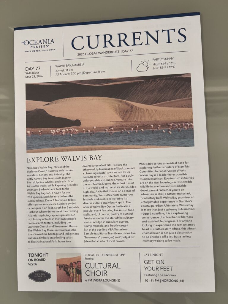
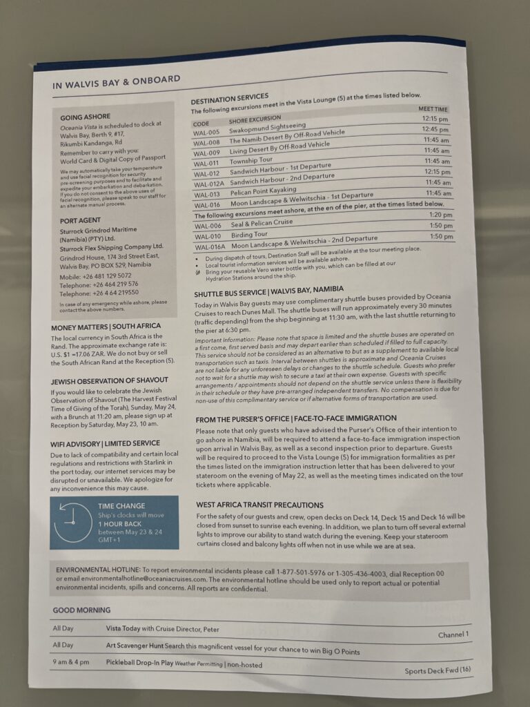
Walvis Bay is Namibia’s main seaport and located between the mouths of the Swakop and Kuiseb rivers on the Atlantic Ocean. On the south side of Walvis Bay is a great lagoon that attracts tens of thousands of birds, including many flamingos. The lagoon, salt pans and the bird sanctuary which form the Walvis Bay Wetlands are one of the most important coastal wetlands of southern Africa. Over 150,000 migrant birds spend the summer months in Walvis Bay and non-breeding palearctic, and intra-African species dominate. Possible sightings include over 150 species of bird that have been recorded in this region. You can see Greater Flamingo, Lesser Flamingo, Great White Pelican, Chestnut-banded Plover, African Oystercatcher, Cape Teal and Black-necked Grebe.
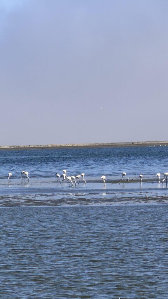
Greater Flamingo
- The greater Flamingo is the most commonly seen Flamingo on the lagoon. It is recognizable by its large size and its pale pink beak with a black tip.
- They are only able to breed when they are 5 tp 6 years old.
- The lifespan in the wild is about 35 years, although some flamingos in captivity have been known to live up to 52 years.
- The Greater Flamingo feeds mainly on invertebrates, such as worms, small crustaceans and molluscs and will also feed on algae
- The algae gives the pink colouration to the wing feathers.
- The flamingoes feed with their bill upside down.
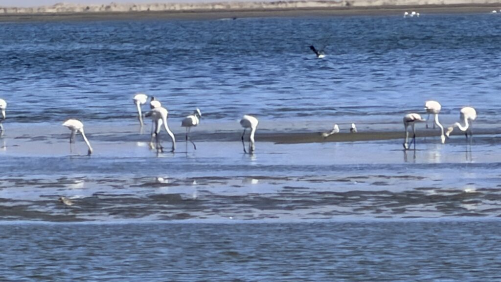
In February, during the annual Walvis Bay bird count at the Ramsar site, the highest documented number of Greater Flamingos (46 291) were counted in several years. In addition, Lesser Flamingos numbered 5 799, the highest count in five years.
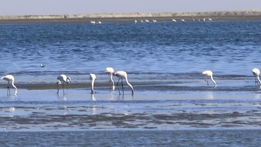
Situated along Namibia’s stunning coastline, the Pink Lakes of Walvis Bay are a striking natural wonder. These vibrant, pink-tinted waters are actually natural evaporation ponds created by Walvis Bay Salt Holdings, making them not only visually captivating but also integral to Namibia’s salt production. The unique combination of surreal landscapes and thriving birdlife makes the Pink Lakes a must-visit for photographers, nature lovers, and anyone looking to experience one of Namibia’s most fascinating natural and industrial marvels.
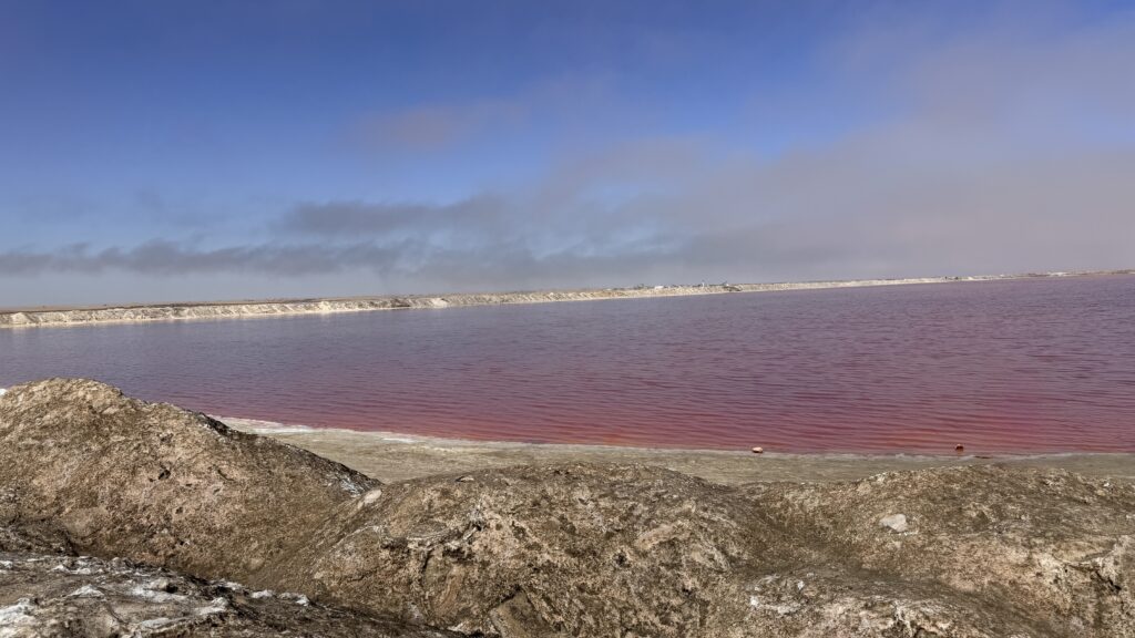
The iconic pink color of these lakes comes from the presence of Dunaliella salina, a type of algae that thrives in high-salinity environments. As the salt concentration increases, the algae produce a pigment called beta-carotene, which gives the water its distinctive pink hue. The intensity of the color can vary depending on the time of year, weather conditions, and the level of salt production, offering visitors a constantly shifting and mesmerizing view.
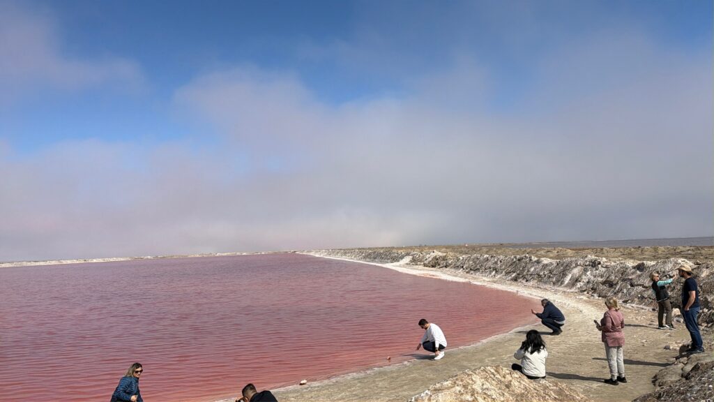
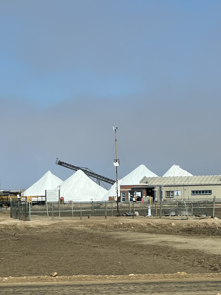
Walvis Bay is a port city on the Atlantic coast of Namibia that is home to an enormous sea salt production plant. The plant has been operating for more than 60 years thanks to the region’s arid climate and coastal winds, which are ideal for evaporating seawater containing the salt.
The saltworks are located about 5 miles (8 kilometers) southwest of Walvis Bay city center. The plant covers an area of 12,350 acres (5,000 hectares), according to Walvis Bay Salt Holdings, making it roughly half as big as Disney World in Florida.
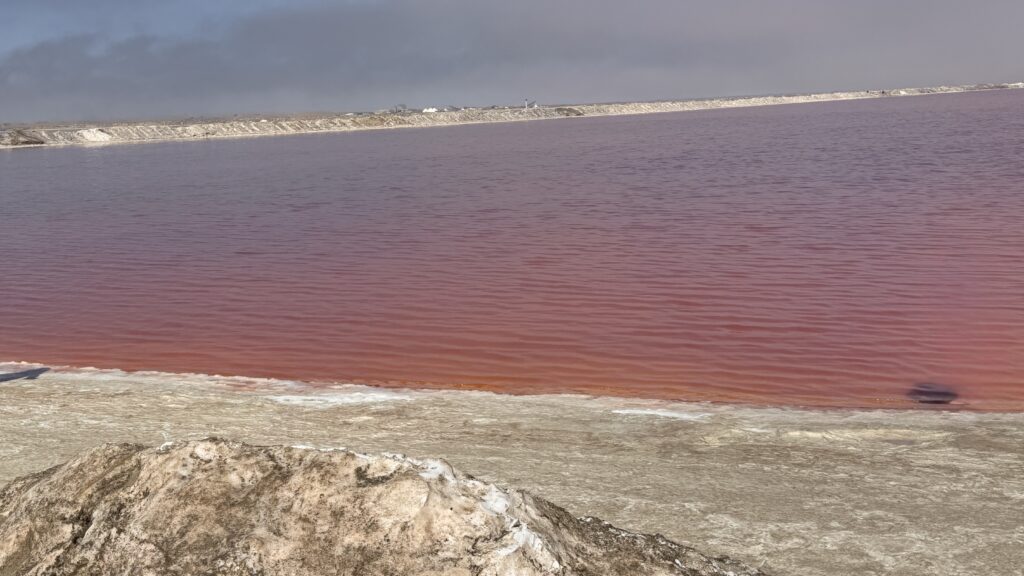
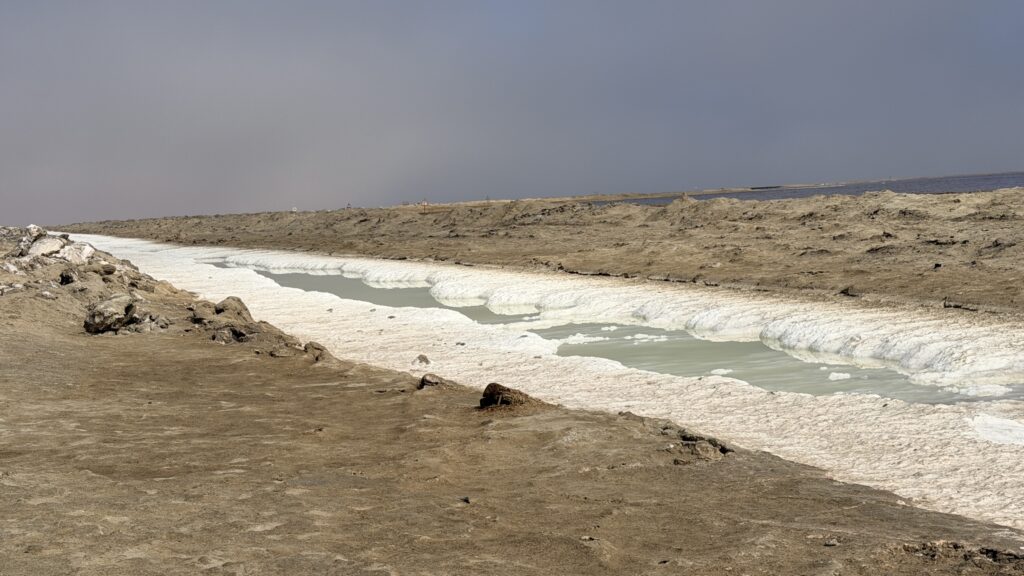
Walvis Bay Salt produces approximately 1 million tons of salt per year through solar evaporation of sea water. Most of the salt is for industrial use but the company also produces table salt under the “Cerebos” brand. After washing, the salt is dried in huge piles outside. Around 240 tons (220 metric tons) of salt are washed and dried every hour at Walvis Bay, amounting to a total annual production of more than 1.1 million tons (1 million metric tons) of salt, according to Walvis Bay Salt Holdings.
Walvis Bay Saltworks – Desert, Dunes & Dust Tours
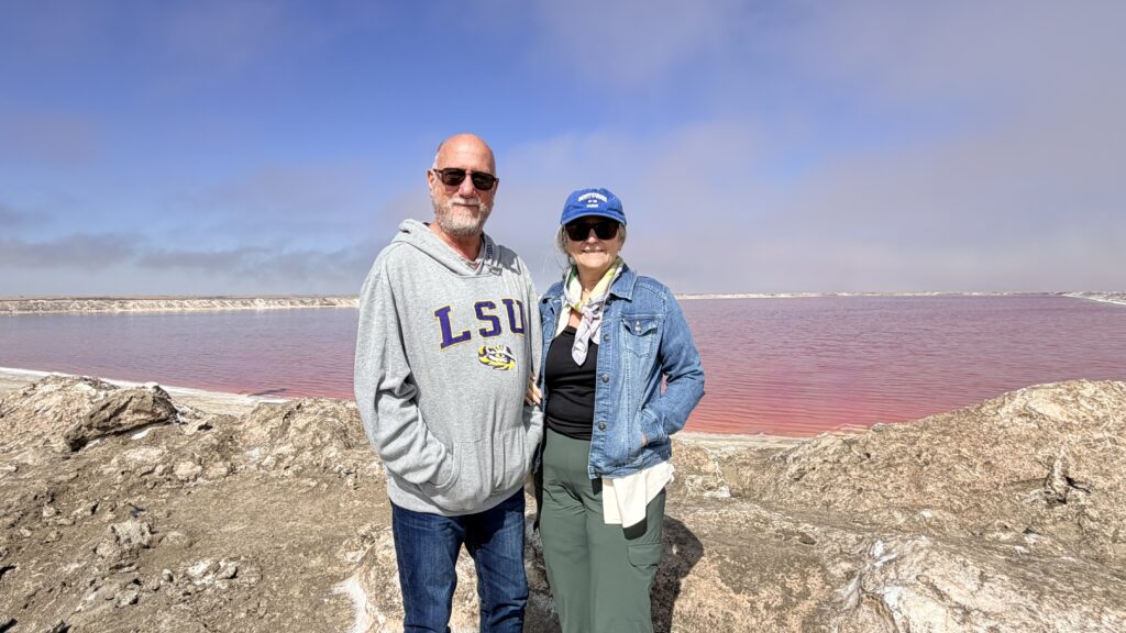
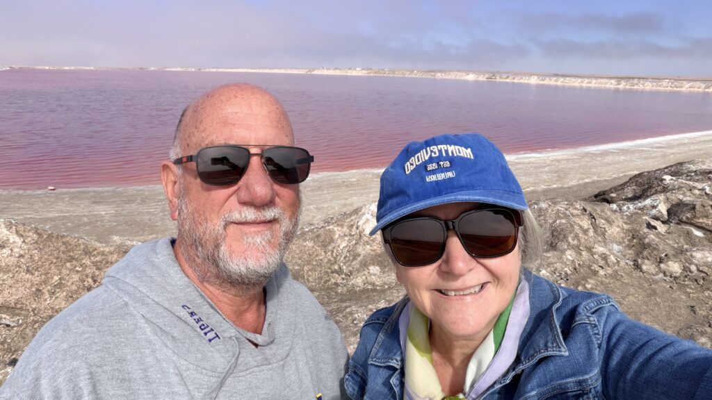
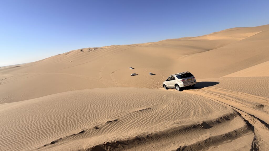
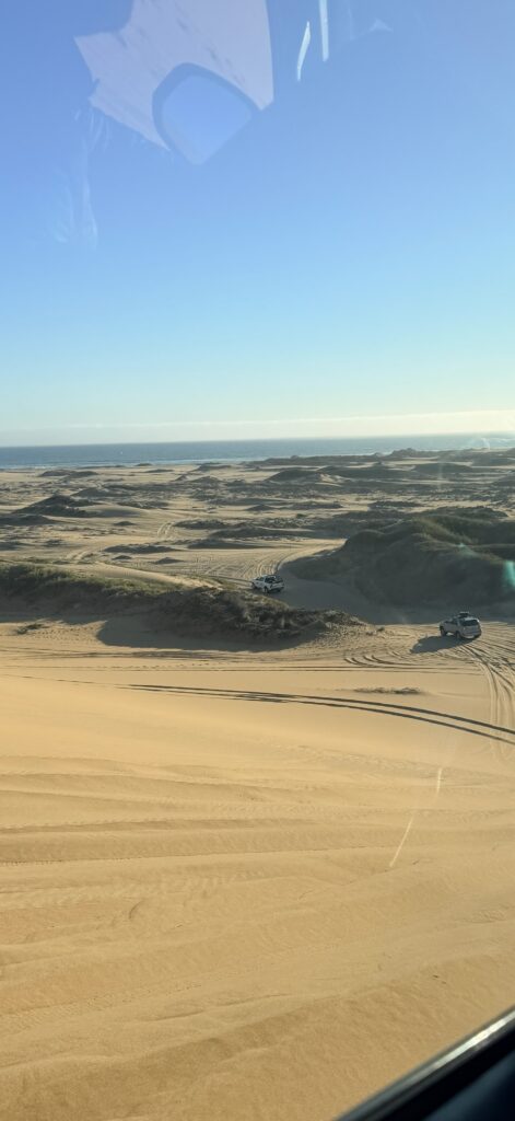
We started our drive on the sand dunes looking out over the Atlantic Ocean.
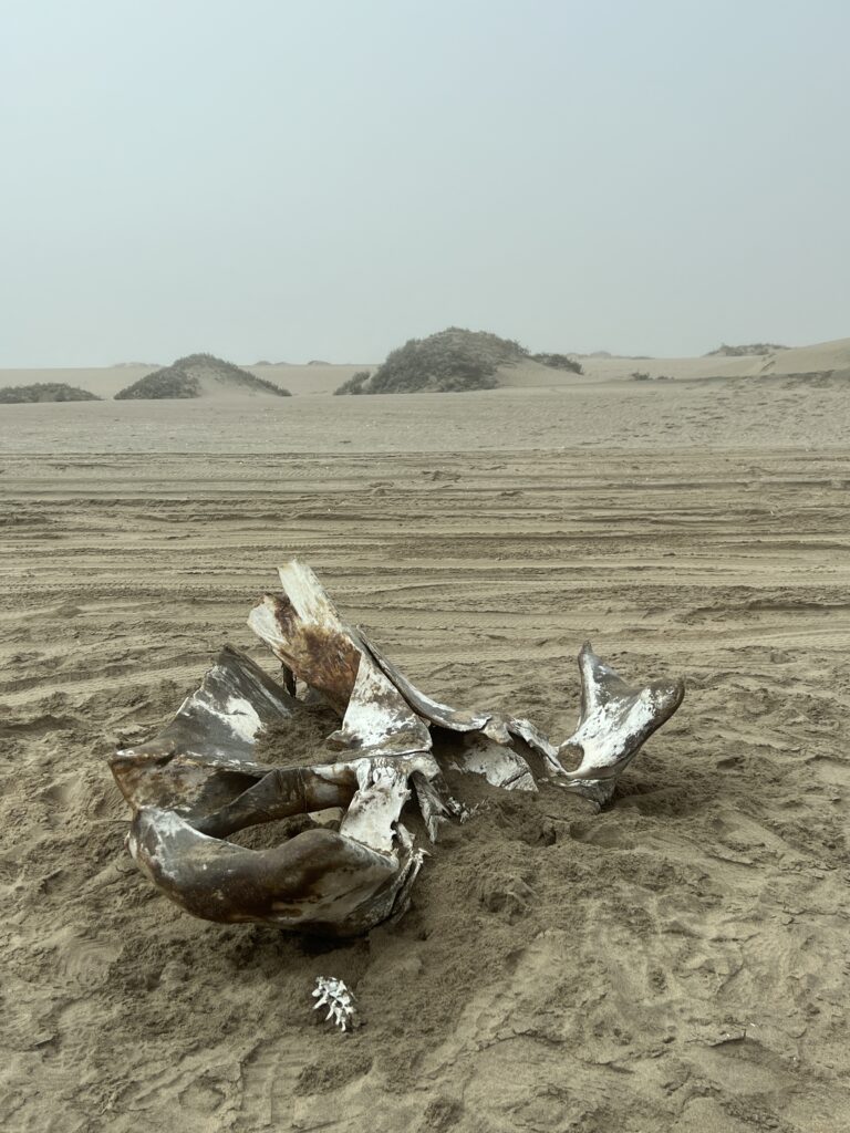
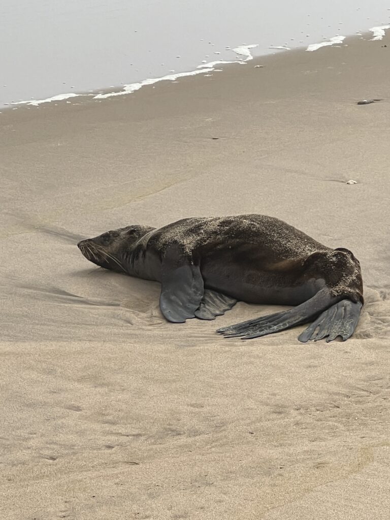
There were a number of seals lounging in the sand along the drive.
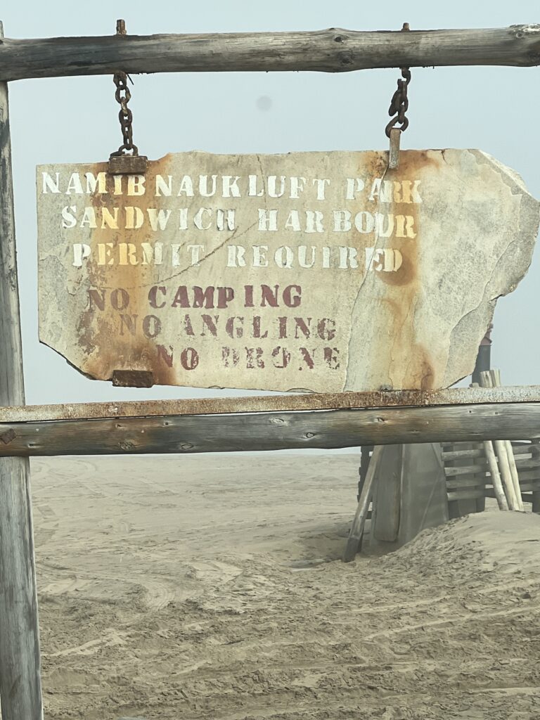
The Namib-Naukluft National Park is a national park in western Namibia, situated between the coast of the Atlantic Ocean and the edge of the Great Escarpment. It encompasses part of the Namib Desert (considered the world’s oldest desert), the Naukluft mountain range, and the lagoon at Sandwich Harbour. The best-known area of the park and one of the main visitor attractions in Namibia is Sossusvlei, a clay pan surrounded by dunes, and Sesriem, a small canyon of the Tsauchab. The desert research station of Gobabeb is situated within the park.
With an overall area of 49,768 km2 (19,216 sq mi), the Namib-Naukluft National Park was at the time of its last expansion the largest game park in Africa and the fourth largest in the world. It consists of a strip of land on the Atlantic Ocean, including 1,609 kilometers (1,000 mi) of sea, that extends roughly 600 kilometers (370 mi) north-to-south from the Swakop River to the B4 road to Lüderitz.
The region is characterised by high, isolated inselbergs and kopjes (the Afrikaans term for rocky outcrops), made up of dramatic blood-red granites, rich in feldspars and sandstone. The easternmost part of the park covers the Naukluft Mountains.
More moisture comes in as a fog off the Atlantic Ocean than falls as rain, with the average of 106 millimeters of rainfall per year concentrated in February and April.
The winds that bring in the fog are also responsible for creating the park’s towering sand dunes, whose burnt orange color is a sign of their age. The orange color develops over time as iron in the sand is oxidized, like rusty metal; the older the dune, the brighter the color.
These dunes are the tallest in the world, in places rising more than 300 meters (almost 1000 feet) above the desert floor. The dunes taper off near the coast, and lagoons, wetlands, and mudflats located along the shore attract hundreds of thousands of birds.
‘Namib’ means “open space”, and the Namib Desert gave its name to form Namibia – “land of open spaces”.
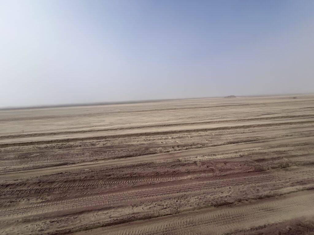
The sand just seemed to go on for miles. We started out driving on flat lands of sand but that soon changed
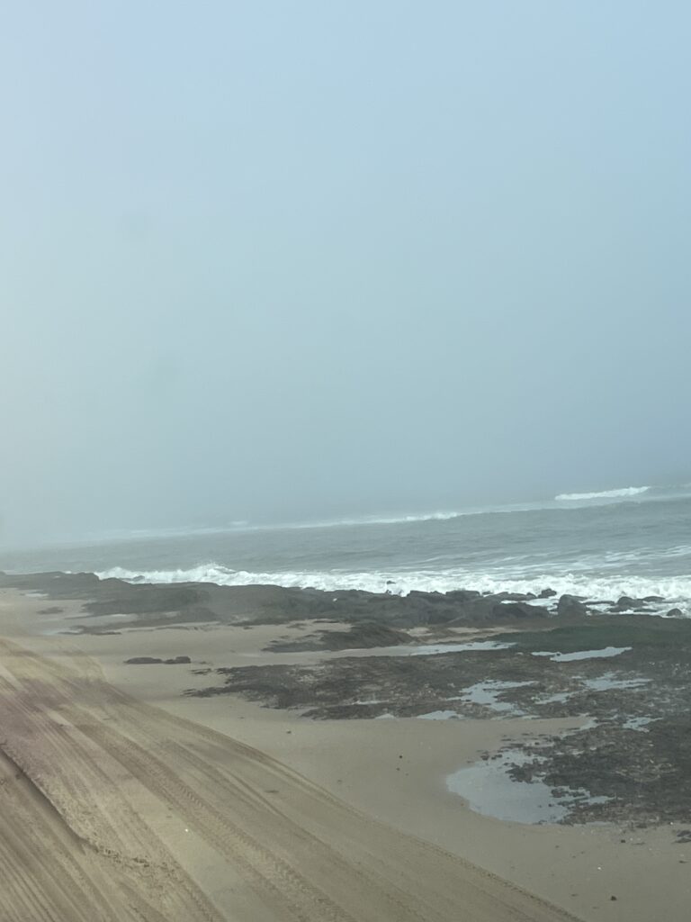
The sand dunes grew higher as we drove along the coast. Little did the passengers know that soon we would be climbing up these dunes in the vehicles
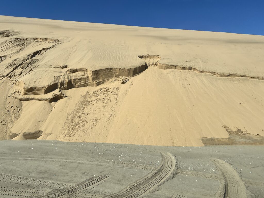
Walvis Bay (meaning “bay of whales”) is a coastal gem in the south west of Namibia. As one of the country’s rapidly growing municipalities, Walvis Bay is known as the “jewel of the Namibian coast” – a thriving place of stunning desert landscapes, cultural diversity and a hub of business activity. It’s also a particularly beautiful area for nature lovers and tourists, who can enjoy the abundant birdlife at the lagoon, kayaking and surfing at the beach,
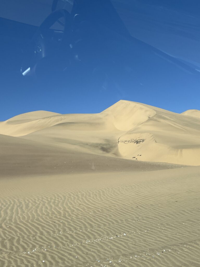
The Namib Desert in Namibia is the world’s most ancient desert. The Namib Naukluft National Park with the world’s highest sand dunes in Sossusvlei is the right holiday destination in Namibia for those who want to combine awesome scenery with seclusion, solitude and exploration.The red shimmering sand dunes reach as far as the eye can see and are a spectacular sight, especially in the luminescent glow of the first rays of the morning sun. The Namib is the oldest desert on earth. It may also be the most beautiful. In the southern part of this desert, in what was once a little-known corner of Namibia, the sand dunes of Sossusvlei come close to perfection. These dunes are nestled between the wild Skeleton Coast and the gravel-faced Naukluft Mountains. For centuries, the wind here has sculpted sharp ridges of sand that form faultless arcs rising from valley floors to heights over 300m/984ft. Each dune is different and being constantly reshaped by the wind. It is a world in motion, of sand dunes that seem to go on forever beyond the far horizon. It is the desert that we dreamed of as children.
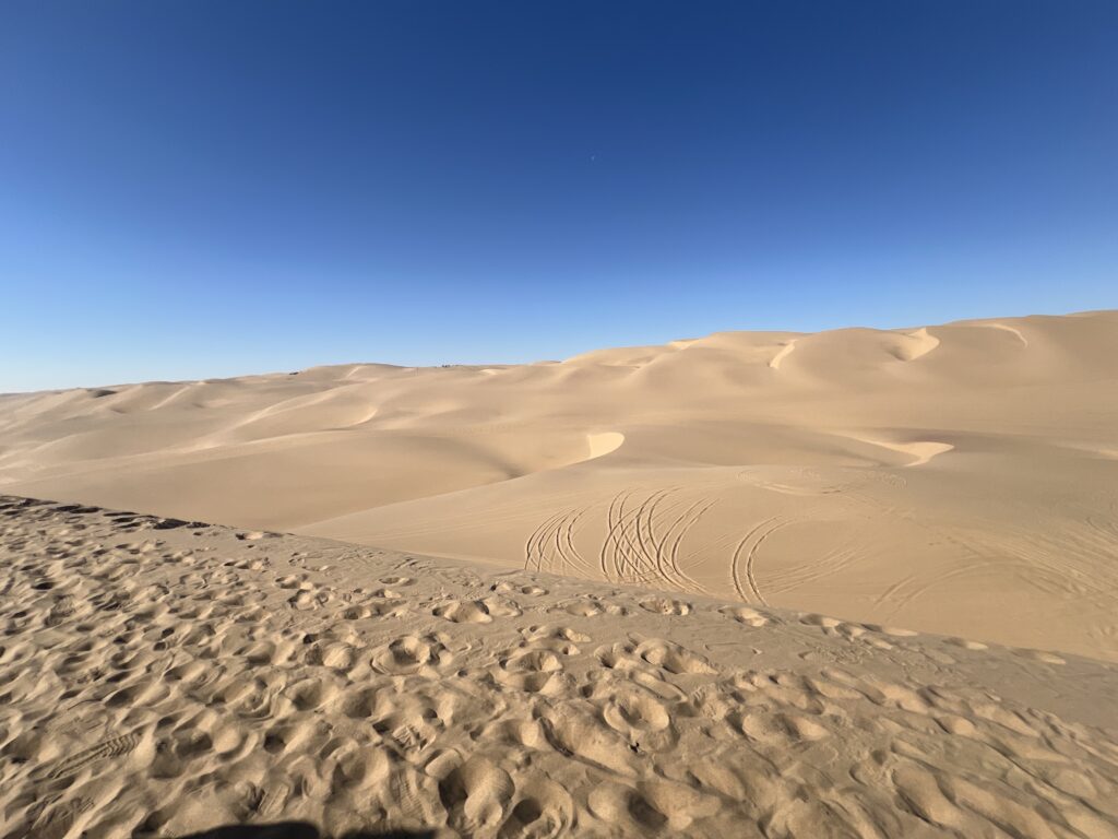
Photo of people who climbed up a dune. The climb was difficult as you would sink as you climbed up.
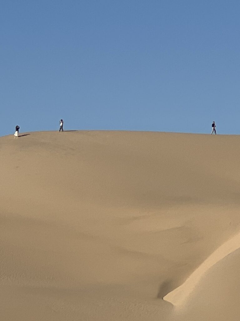
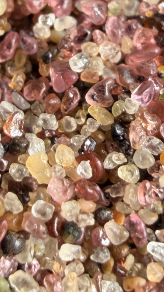
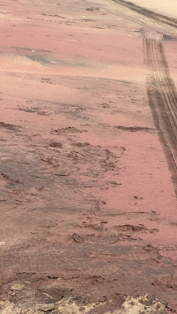
This photo was a shock. This is a closeup photo of the sand. I never thought that the sand granules would look like this.
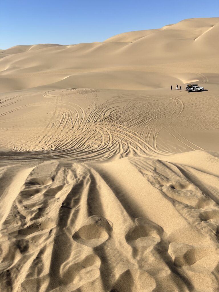
Air was let out of the tires to make it suitable for driving in the sand.
Photos and videos of the vehicles climbing and coming down the sand dunes
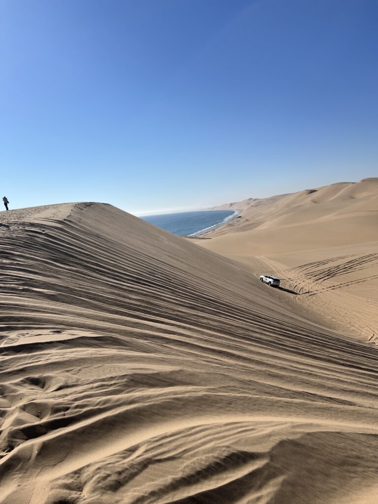
Namib Sand Sea is the only coastal desert in the world that includes extensive dune fields influenced by fog. Covering an area of over three million hectares and a buffer zone of 899,500 hectares, the site is composed of two dune systems, an ancient semi-consolidated one overlain by a younger active one. The desert dunes are formed by the transportation of materials thousands of kilometres from the hinterland, that are carried by river, ocean current and wind. It features gravel plains, coastal flats, rocky hills, inselbergs within the sand sea, a coastal lagoon and ephemeral rivers, resulting in a landscape of exceptional beauty. Fog is the primary source of water in the site, accounting for a unique environment in which endemic invertebrates, reptiles and mammals adapt to an ever-changing variety of microhabitats and ecological niches.
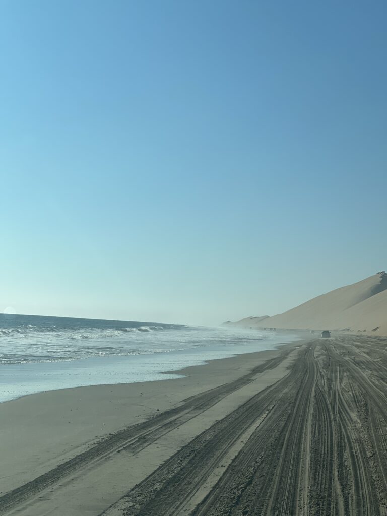
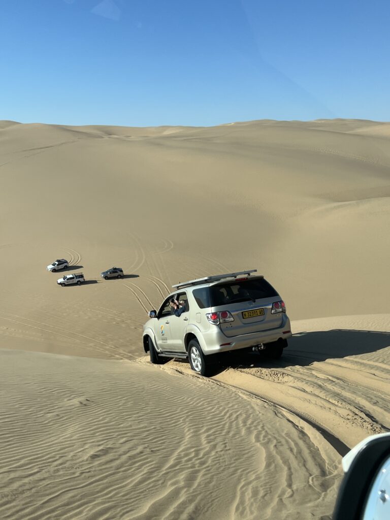
Driving up and down these dunes was as much fun the second time around for me and left Jackie expressing how much she was surprised and amazed by the fun and beauty of the sand dunes.
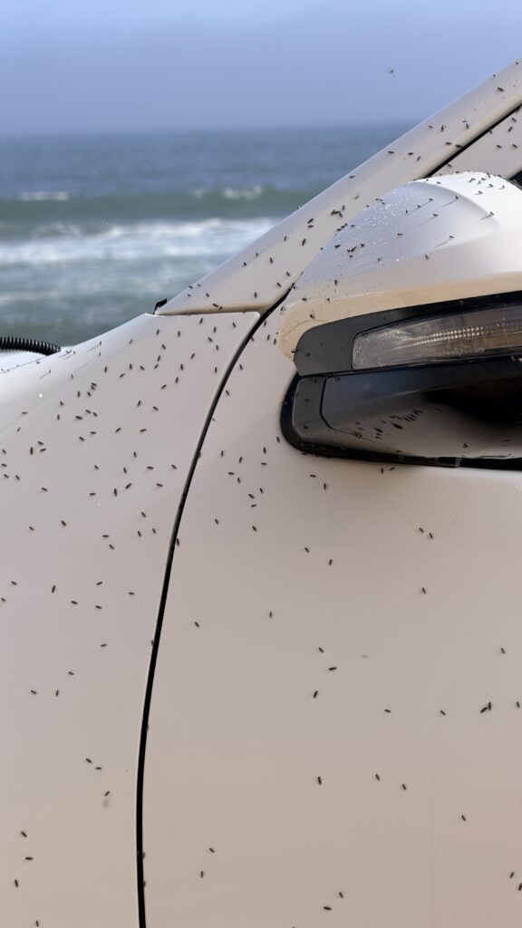
These bugs appeared for about five minutes and then disappeared. They did not bite but were a nuisance.
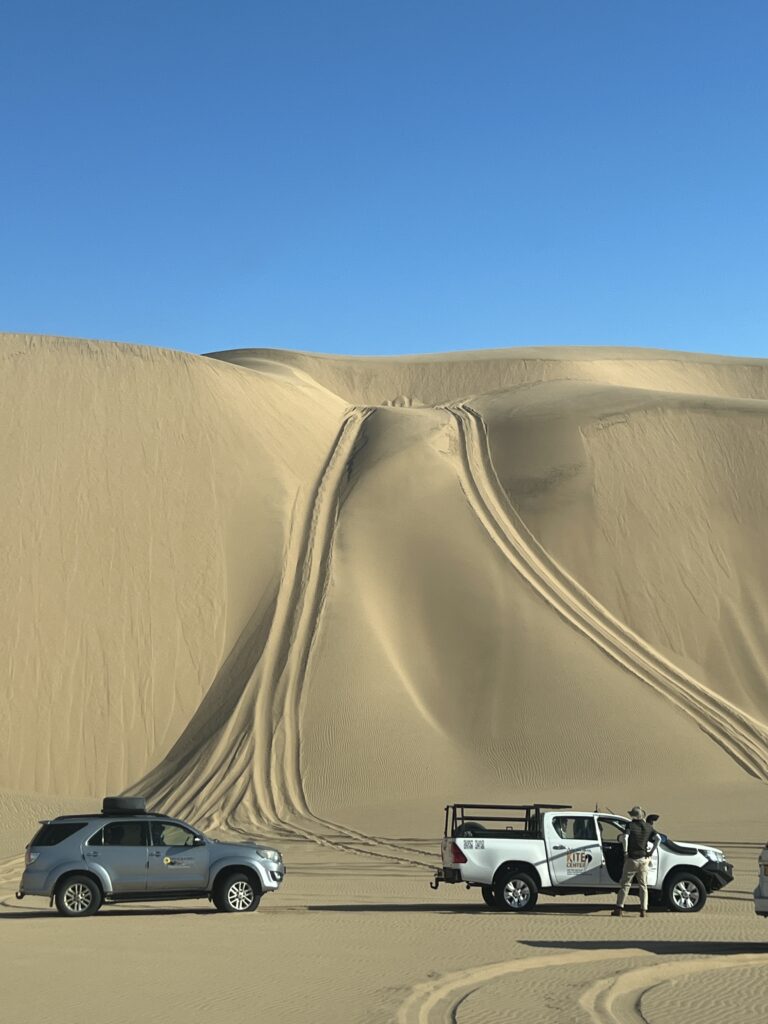
Yes, this was one of the smaller dunes that we came down
Video of the vehicle on the side of us and the view coming down a dune
You get to the very edge of the dune and do not see anything before the falling begins
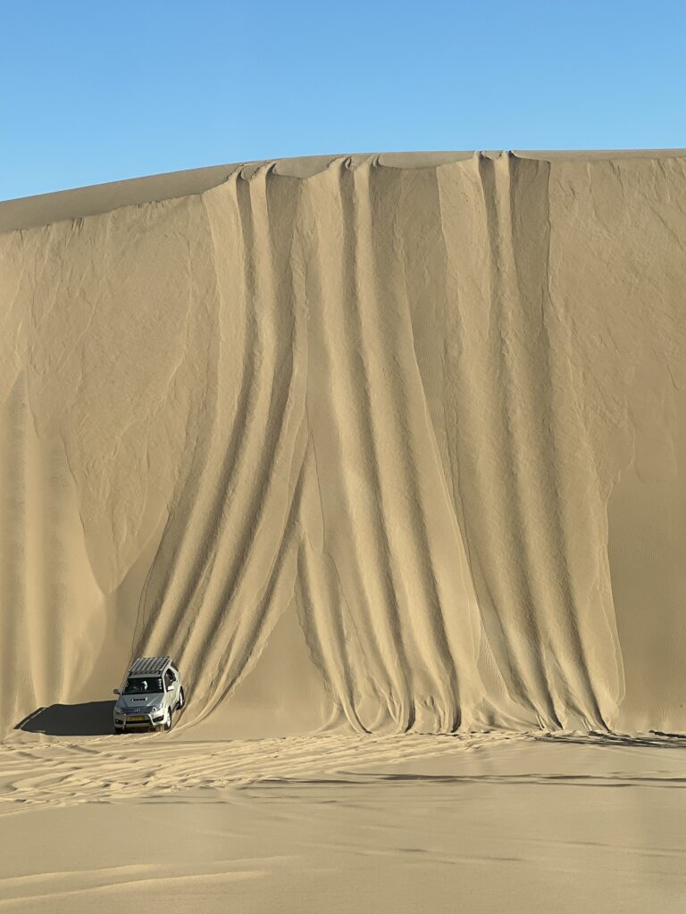
The caravan of vehicles getting in line for the drop down a dune

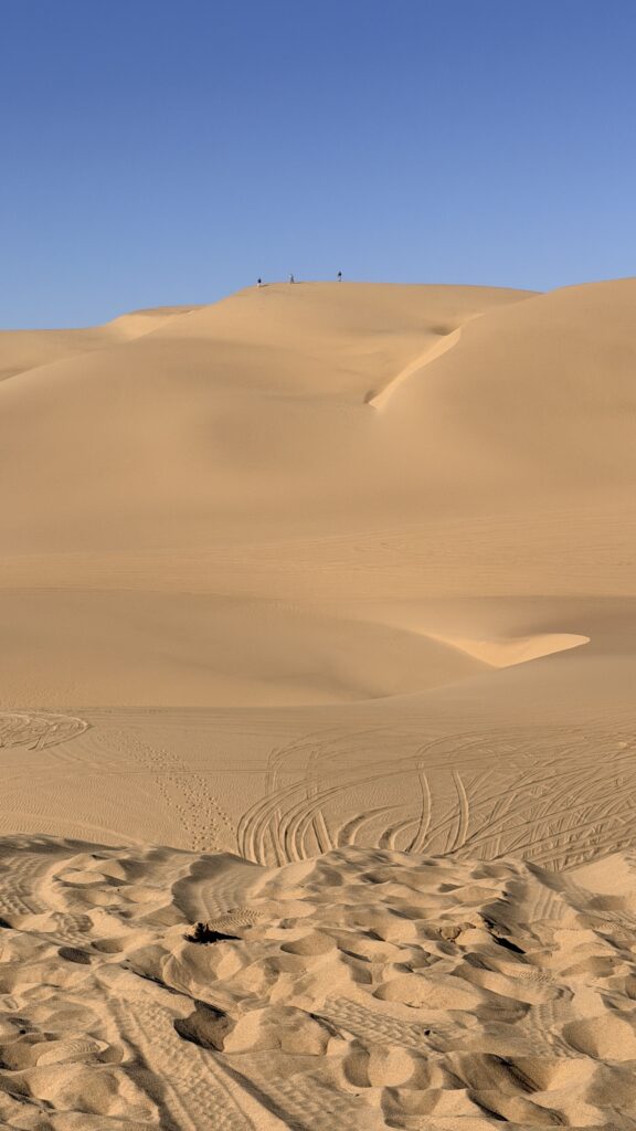
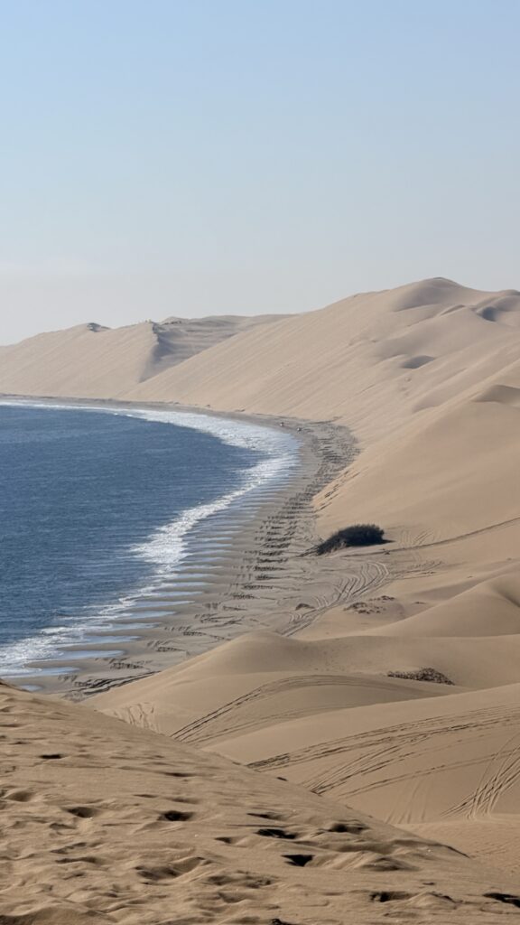
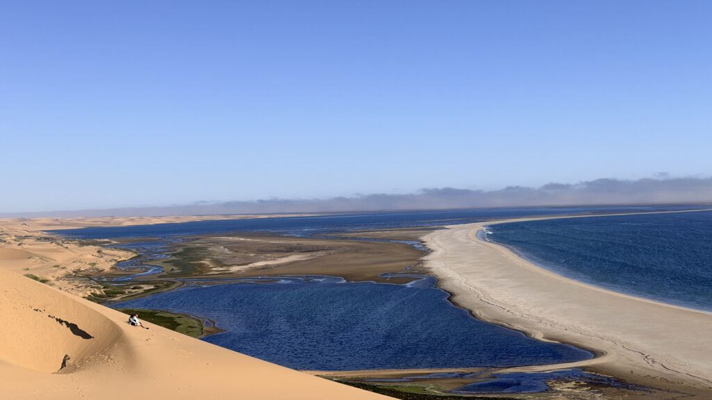
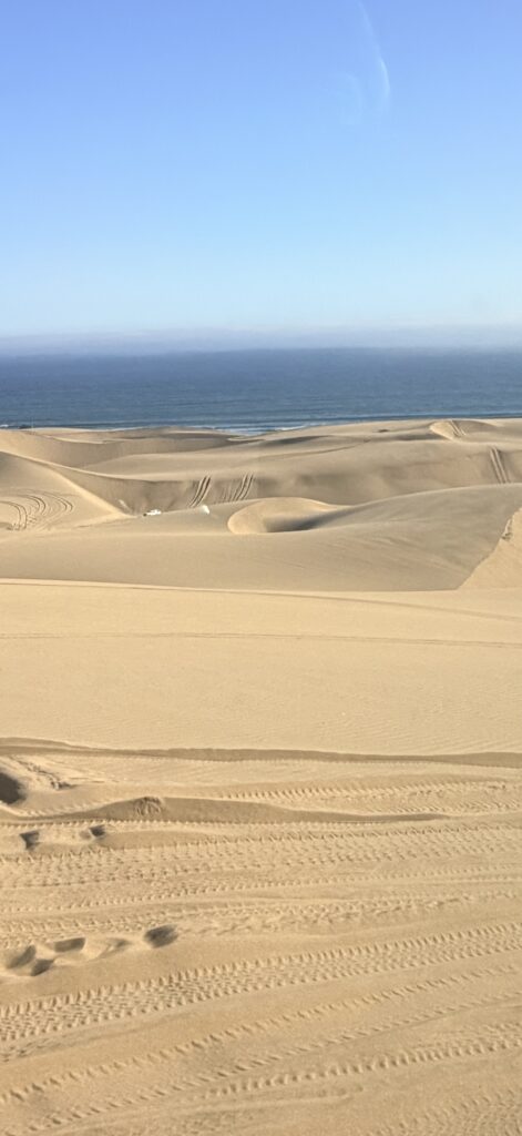
The view from the top of the dunes was awesome. To see large sand dunes ending at the water’s edge was beautiful.
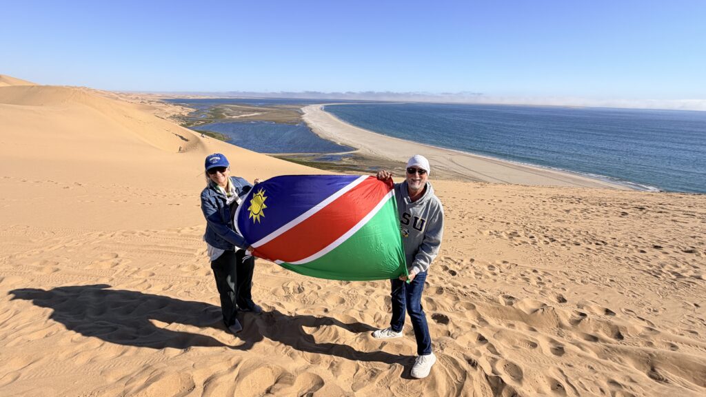
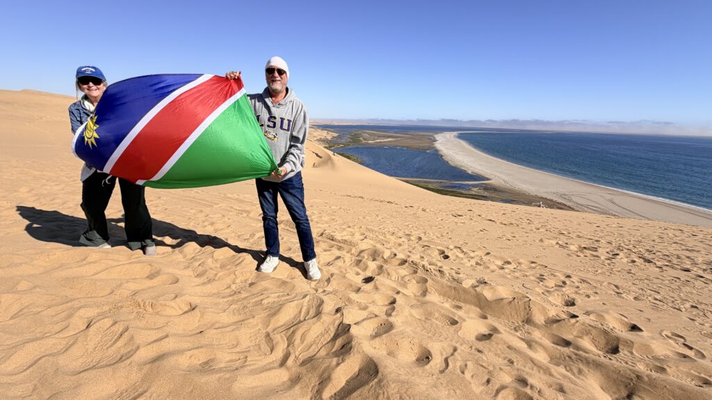
Jackie and Lane holding up the Namibia flag standing on top of a sand dune. The climb was very difficult (not really, we rode in the vehicles, but some parts were scary).
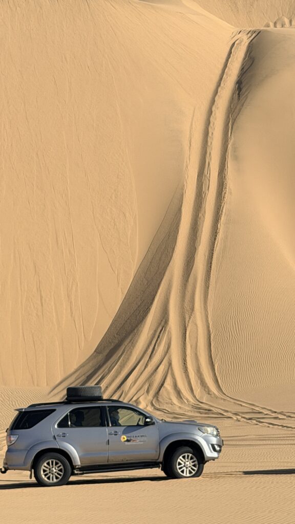
Look at the sand piling up in front of the vehicle
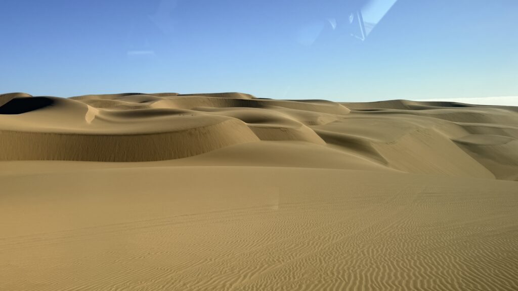
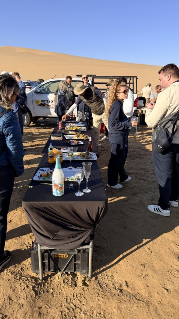
After the sand dune riding, they had a picnic lunch setup for us and it was really good food.
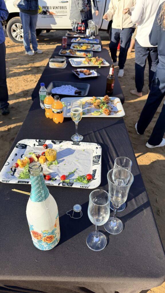
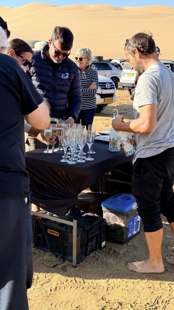
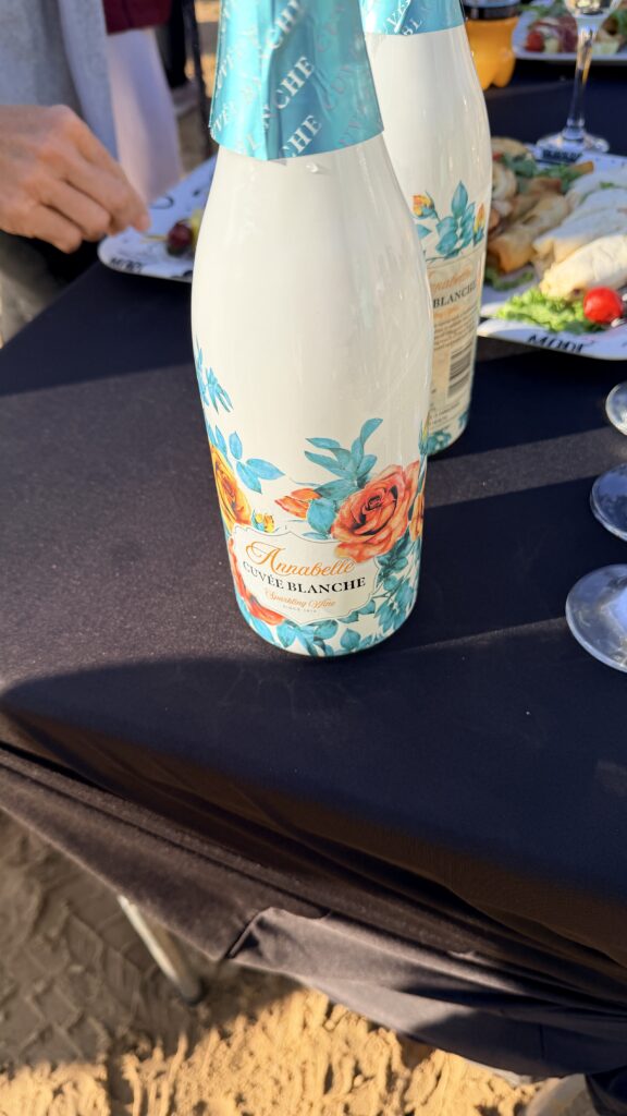
Our driver and guide is on the right. Tell me he does not look like Garrett Nussmeier the former LSU quarterback. 🙂
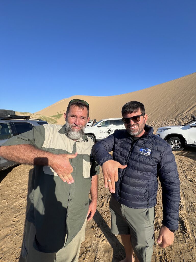
Anyone want to guess what the hand sign is? I will place the answer at the end of the blog
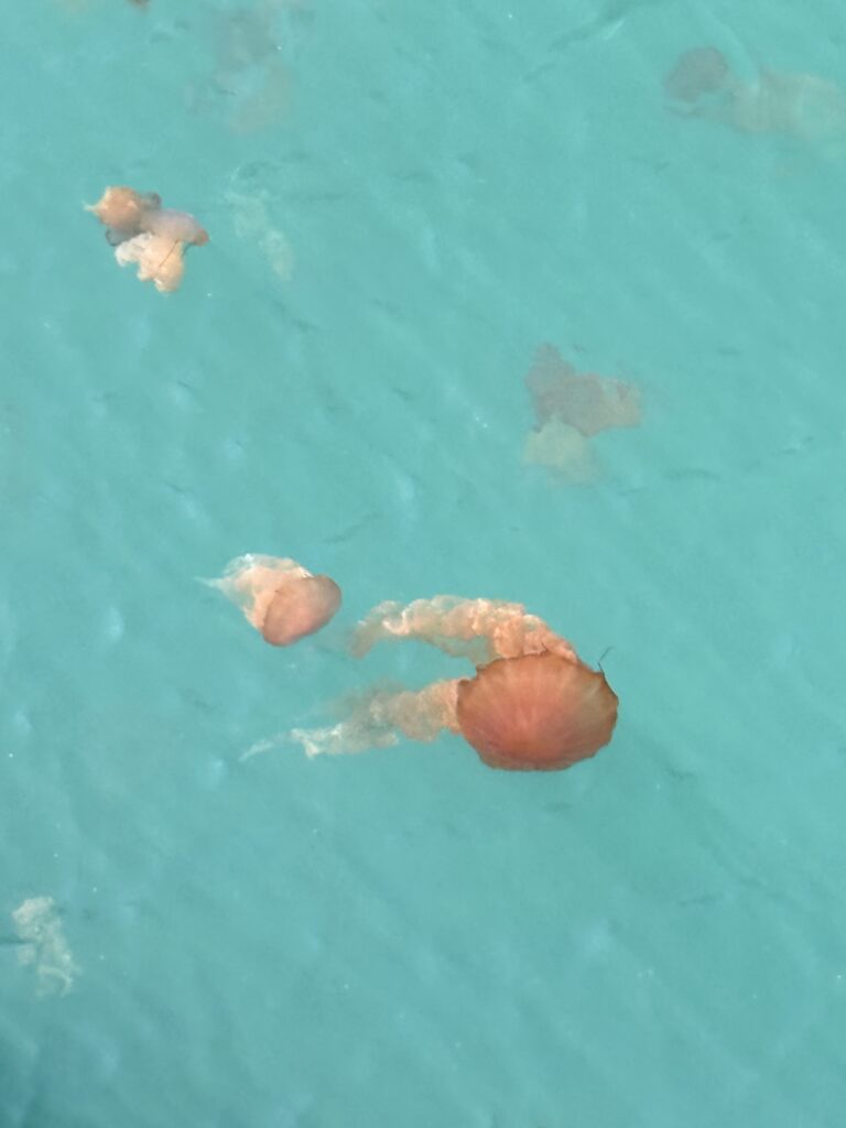
Holly Guidry captures these jellyfish at the ship’s dock
In Namibian culture, a popular and unique hand sign is made by holding up the hand with the fingers slightly curved and spread. The shape of the hand intentionally mimics the distinct geographical shape of the country’s map. It is used as a proud symbol of patriotism and national identity.