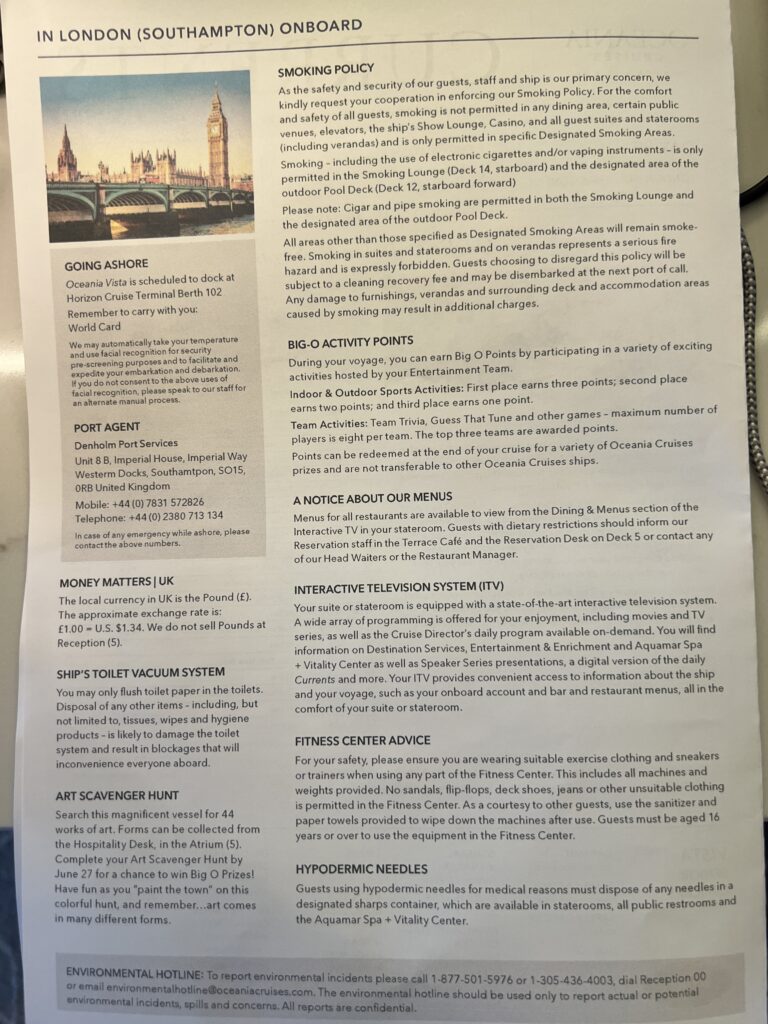
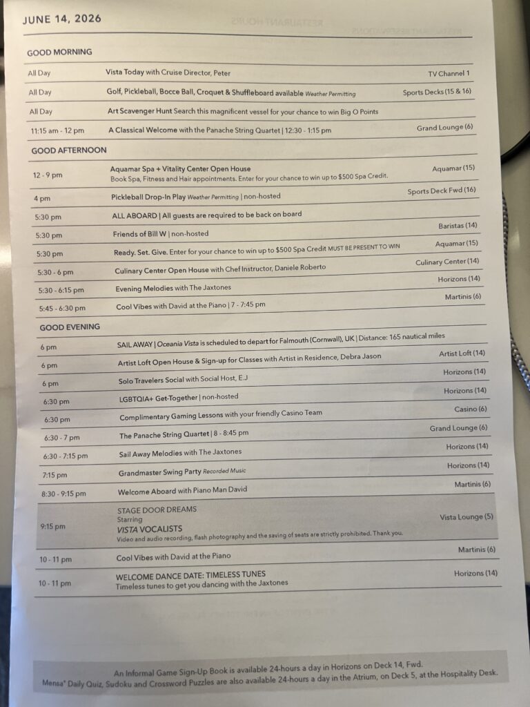
Day 99 Sunday June 14th (21 days to go) —- The ship docked in Southampton which allowed travel agents who boarded in Lisbon to get off the ship and about 520 passengers boarded. Our “private yacht” feel that we had since Singapore came to an end. Oceania had tours to London, but we had wanted to visit The Cotswolds area, so we hired a private guide for the day and had and enjoyable day. It was long as we covered a big area. In the day we visited Bourton-on-the-Water (Venice of the Cotswolds), Stow-on-the-Wold (One of the prettiest towns in the Cotswolds), Burford (The Gateway to the Cotswolds) and Lower Slaughter (Voted England’s Most Romantic Village).
The Cotswolds is a picturesque region in south-central and south-west England, spanning over 800 square miles across five counties (Gloucestershire, Oxfordshire, Warwickshire, Wiltshire, and Worcestershire). Famous for its rolling hills—the “wolds”—and iconic honey-colored Jurassic limestone, it offers quintessentially English towns, historic castles, and scenic walking trails.
While there are over 50 individual villages to explore, some of the most celebrated and historically rich include:
- Castle Combe: Frequently called the prettiest village in England, it is characterized by ancient, untouched stone cottages and served as a filming location for Downton Abbey.
- Bourton-on-the-Water: Known as the “Venice of the Cotswolds,” this village features the shallow River Windrush running directly through its center, crossed by several low stone bridges.
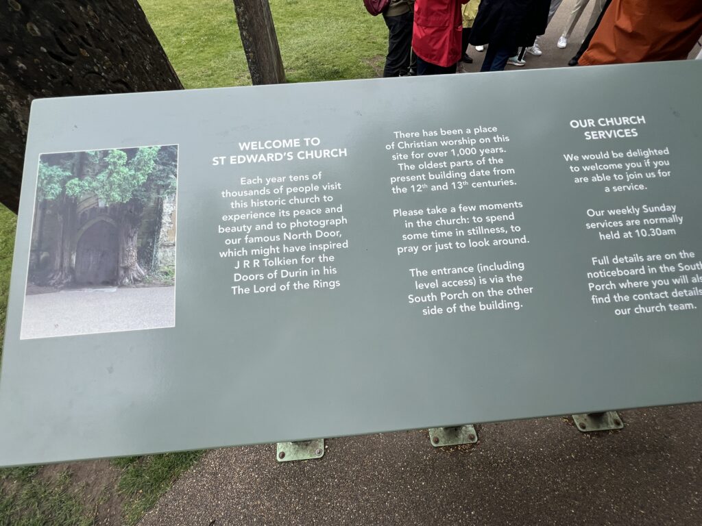
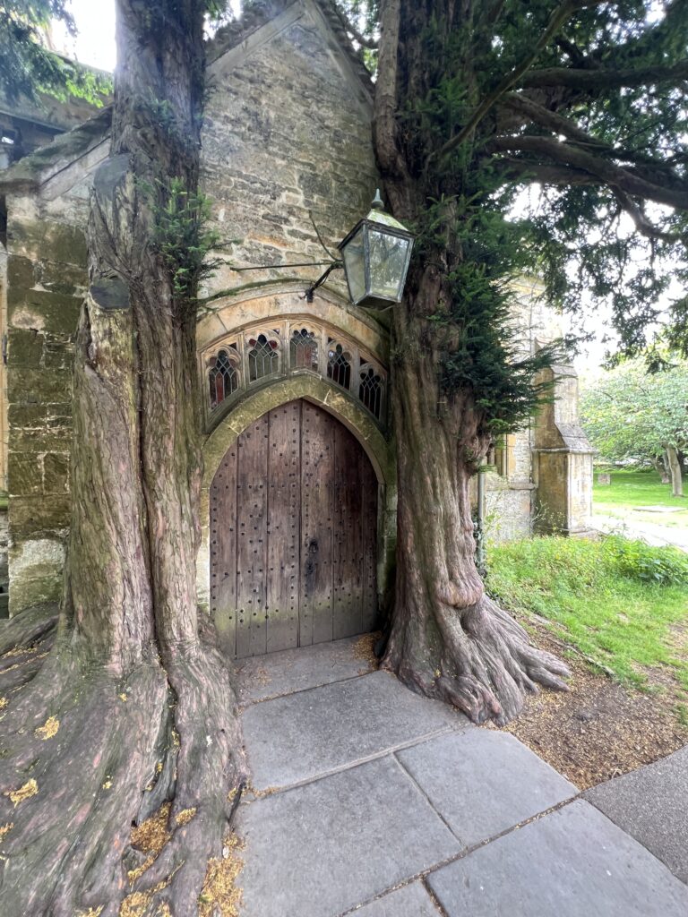
- Stow-on-the-Wold: The highest town in the Cotswolds, known for its vast market square, antique shops, and St Edward’s Church—whose ancient yew-flanked door is said to have inspired J.R.R. Tolkien’s “Doors of Durin”.
- Bibury: Famous for Arlington Row, a stunning stretch of 14th-century weavers’ cottages that rank among the most photographed in the country.

Oxfordshire (/ˈɒksfərdʃər, -ʃɪər/ OKS-fərd-shər, -sheer; abbreviated Oxon) is a ceremonial county in South East England. The county is bordered by Northamptonshire and Warwickshire to the north, Buckinghamshire to the east, Berkshire to the south, and Wiltshire and Gloucestershire to the west. The city of Oxford is the largest settlement.
The county is largely rural, with an area of 1,006 sq mi (2,605 km2) and an estimated population of 763,218 in 2024. Oxford, which is famous for its university, is near the centre of the county. Other settlements include Banbury in the north, Bicester in the north-east, Abingdon-on-Thames and Didcot in the south, and Witney in the west. For local government purposes Oxfordshire is a non-metropolitan county with five districts. The part of the county south of the River Thames, largely corresponding to the Vale of White Horse district, was historically part of Berkshire.
The lowlands in the centre of the county are crossed by the River Thames and its tributaries, the valleys of which are separated by low hills. The south contains parts of the Berkshire Downs and Chiltern Hills, and the north-west includes part of the Cotswolds; all three regions are Areas of Outstanding Natural Beauty. The county’s highest point is White Horse Hill (261 metres/856 ft), part of the Berkshire Downs
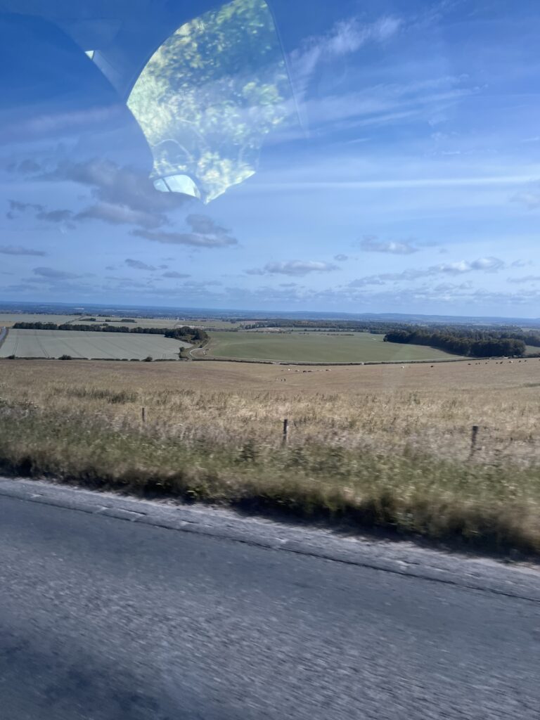
Oxfordshire was recorded as a county in the early years of the 10th century and lies between the River Thames to the south, the Cotswolds to the west, the Chilterns to the east and the Midlands to the north, with spurs running south to Henley-on-Thames and north to Banbury.
Although it had some significance as an area of valuable agricultural land in the centre of the country, it was largely ignored by the Romans and did not grow in importance until the formation of a settlement at Oxford in the 8th century. Alfred the Great was born across the Thames in Wantage, in the Vale of White Horse. The University of Oxford was founded in 1096, although its collegiate structure did not develop until later on. The university in the county town of Oxford (whose name came from Anglo-Saxon Oxenaford = “ford for oxen“) grew in importance during the Middle Ages and early modern period. The area was part of the Cotswolds wool trade from the 13th century, generating much wealth, particularly in the western portions of the county in the Oxfordshire Cotswolds. Morris Motors was founded in Oxford in 1912, bringing heavy industry to an otherwise agricultural county. The role of agriculture as an employer declined rapidly in the 20th century; as of 2023, 1.2 per cent of the county’s population are involved in agriculture, forestry, or fishing due to high mechanization. Nevertheless, Oxfordshire remains a very agricultural county by land use, with a lower population than neighboring Berkshire and Buckinghamshire, which are both smaller.
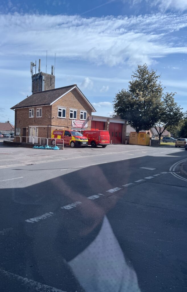
The Oxfordshire Fire and Rescue Service is the fire service serving the county of Oxfordshire, England. It is predominantly an on-call fire service, although also has whole-time support.
Fire and Rescue Service Headquarters is in Kidlington, Oxford, Oxfordshire. This is also the location of the fire service workshops. Oxfordshires control room is now based at Reading, as part of the Thames Valley Fire Control Centre, in partnership with Royal Berkshire and Buckinghamshire Fire and Rescue services. Kidlington’s control room now acts as a backup/secondary control in the event of a failure at Reading.
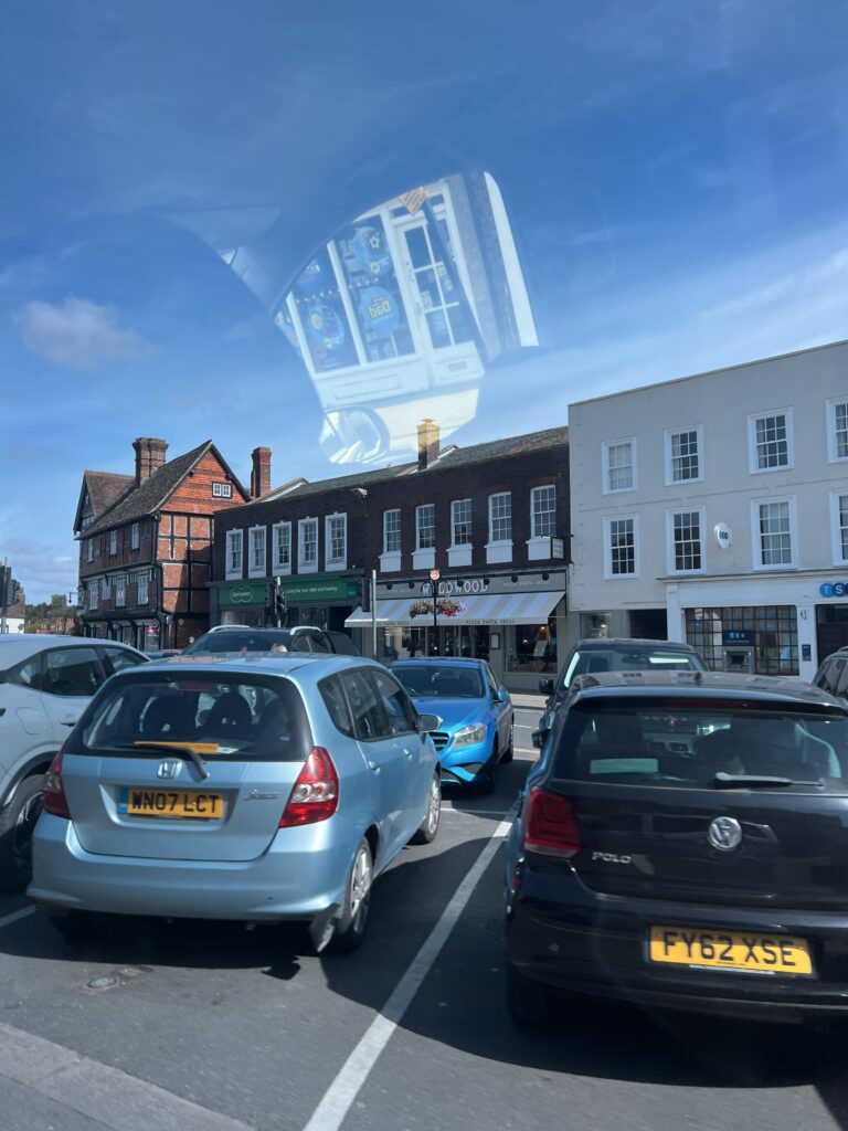
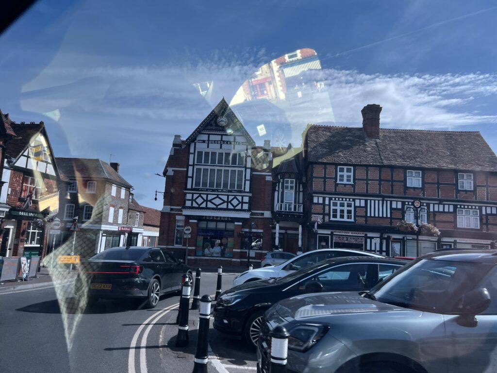
Wantage (/ˈwɒntɪdʒ/) is a historic market town and civil parish at the foot of the Berkshire Downs in the Vale of White Horse, Oxfordshire, England. Historically in Berkshire, it has been administered as part of Oxfordshire since 1974. The town is on Letcombe Brook, 8 miles (13 km) south-west of Abingdon, 14 miles (23 km) north-west of Newbury, and 15 miles (24 km) south-west of Oxford.
It was the birthplace of King Alfred the Great in 849.
Best Coffee Shop & Fast Food Takeaway in Wantage – The Panini Shop – Order Online
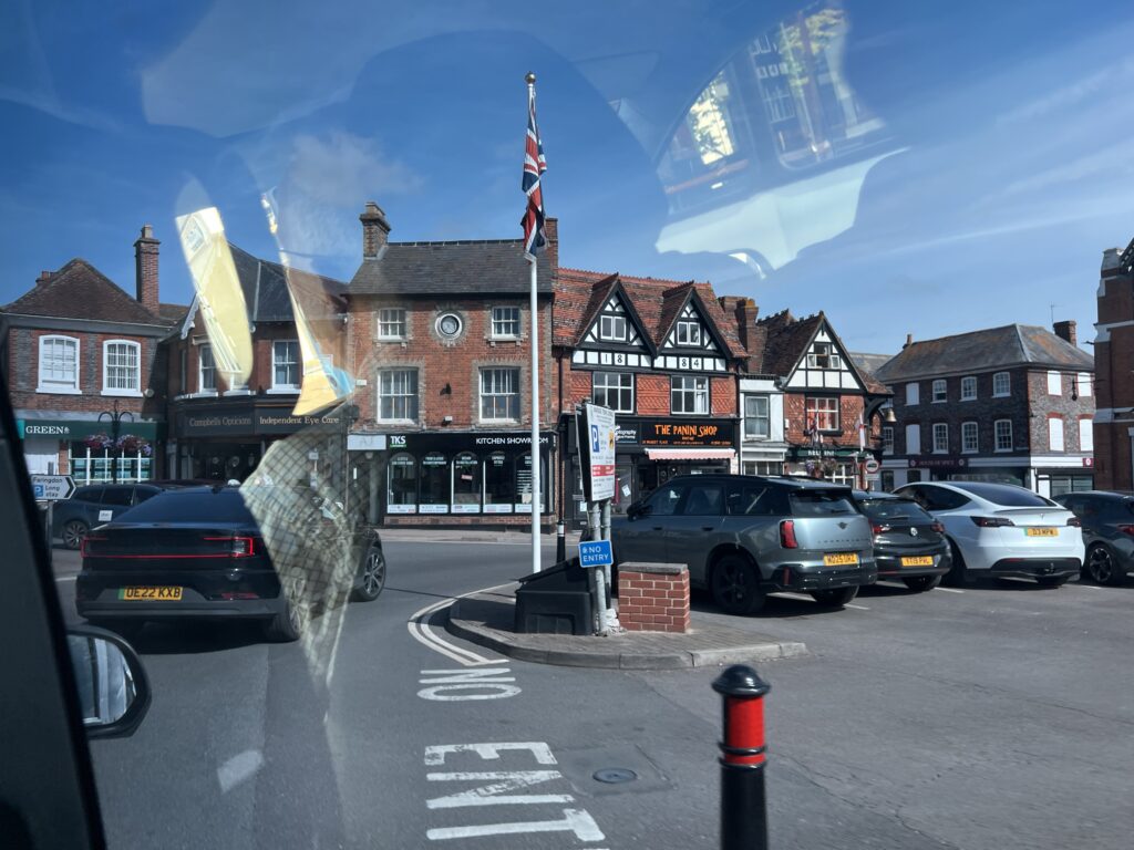
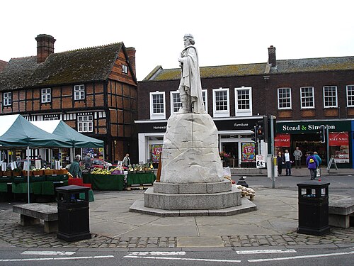
Wantage Market Place with its statue of
King Alfred the Great, born in Wantage
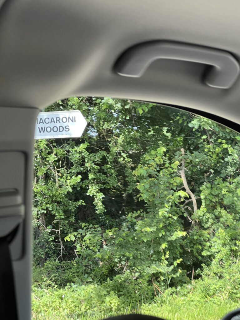
Macaroni Woods, located in the Cotswolds near Eastleach in Gloucestershire, gets its unusual name from 18th-century English “dandies” or “Macaronis” who frequented the area. These fashionable young men—members of the London-based Macaroni Club—visited the Bibury racecourse that once operated on the neighboring Macaroni Downs.
The history of Macaroni Woods spans from aristocratic recreation to wartime operations and modern-day charity. The timeline of the 17-acre woodland estate includes:
- Late 19th Century: The mixed woodland was originally planted. Local lore also suggests the area and adjoining farm were named after the famous racehorse Macaroni, winner of the 1863 Derby.
- World War II (1940–1945): The woods were utilized as an expansive military camp (associated with the Southrop Relief Landing Ground) and housed RAF barracks, WAAF quarters, and a hospital block.
- The Girl Guides (1960s): In the 1960s, District Commissioner Nan Sainsbury and local leaders brought Brownies to holiday at Camp Wood House.
- Noah’s Ark Children’s Venture: Established in the late 1960s, this charity took on the site to provide respite breaks for vulnerable, disadvantaged, and disabled children.
- Modern Expansion (2000-Present): The Ernest Cook Trust purchased the wider estate in 2002. Today, the site features Bazley House, Castree House, and outdoor activity facilities, which were most recently updated in 2026 through cycling and wellbeing initiatives.
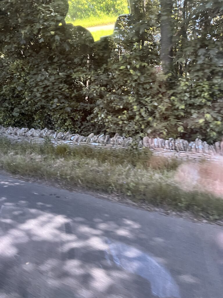
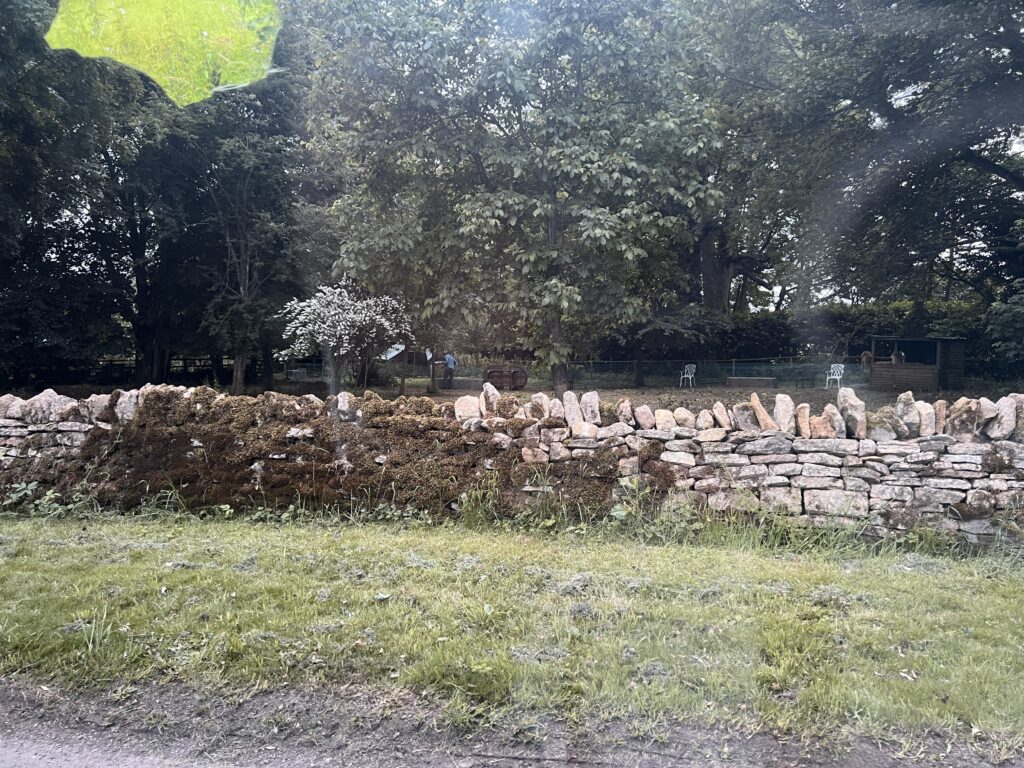
Known historically as dry stone walls (or drystane), stone fences in England are built entirely without mortar, relying on interlocking, carefully stacked stones. Predating Roman times, these iconic structures define the rural landscape of England’s upland regions like the Yorkshire Dales, Lake District, and the Cotswolds.
History and Purpose
- Ancient Origins: The earliest examples of dry stone walls in England date back 5,000 years to the Neolithic period, with evidence found on Exmoor.
- The Enclosure Acts: The majority of the walls seen today were built during the 17th to 19th centuries due to agricultural privatization and the Enclosure Acts, which mandated proper property boundaries.
- Why Stone? In upland areas (the “Highlands” of the north and west), wood and traditional hedging materials were scarce, but local stone was abundant from clearing fields for grazing.
- Livestock Management: The walls served to enclose livestock—primarily sheep and cattle—and protect them from severe weather
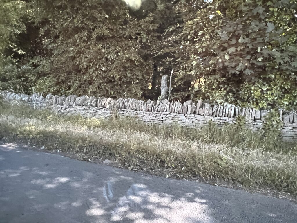
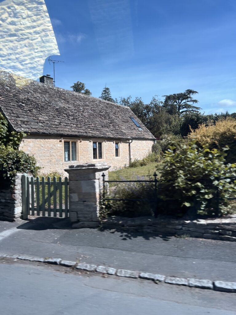
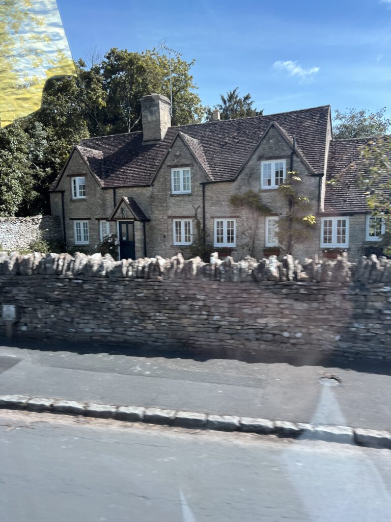
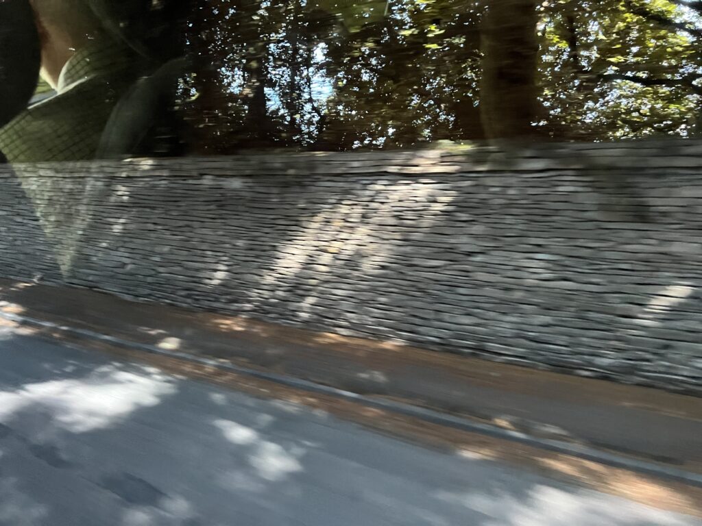
“Wet stone” fences in England are known as dry stone walls (or drystane dykes in Scotland and northern England). They are built without mortar, relying on carefully selected, interlocking stones to hold the structure together. There are tens of thousands of miles of these iconic boundaries stretching across the English countryside.
Dry stone, dry laid in the US, or drystack or, in Scotland and Northern England, drystane, is a method of building structures from stones without any mortar to bind them together. A certain amount of binding is obtained through the use of carefully selected interlocking stones.
Dry stone construction is best known in the context of stone walls, traditionally used for the boundaries of fields and churchyards, or as retaining walls for terracing, but dry stone shelters, houses and other structures also exist. The term tends not to be used for the many historic styles which used precisely-shaped stone, but did not use mortar, for example the Greek temple and Inca architecture.
The History and Craft of Dry Stone Walls | Merchant & Makers
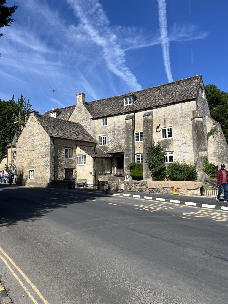
The National Trust (Welsh: Ymddiriedolaeth Genedlaethol) is a heritage and nature conservation charity and membership organisation in the United Kingdom, operating in England, Wales and Northern Ireland only.
The Trust was founded in 1895 by Octavia Hill, Sir Robert Hunter and Hardwicke Rawnsley to “promote the permanent preservation for the benefit of the Nation of lands and tenements (including buildings) of beauty or historic interest”. It has since been given statutory powers, starting with the National Trust Act 1907. In its early days, the Trust usually acquired land by gift and sometimes by public subscription and appeal. After World War II the loss of country houses resulted in many such properties being acquired either by gift from the former owners or through the National Land Fund.
One of the largest landowners in the United Kingdom, the Trust owns almost 250,000 hectares (620,000 acres; 2,500 km2; 970 sq mi) of land and 780 miles (1,260 km) of coast. Its properties include more than 500 historic houses, castles, archaeological and industrial monuments, gardens, parks, and nature reserves. Most properties are open to the public for a charge (members have free entry), while open spaces are free to all. The Trust had an annual income of nearly £724 million in 2023/24, largely from membership subscriptions, donations and legacies, direct property income, profits from its shops and restaurants, and investments. It also receives grants from a variety of organisations including other charities, government departments, local authorities, and the National Lottery Heritage Fund.
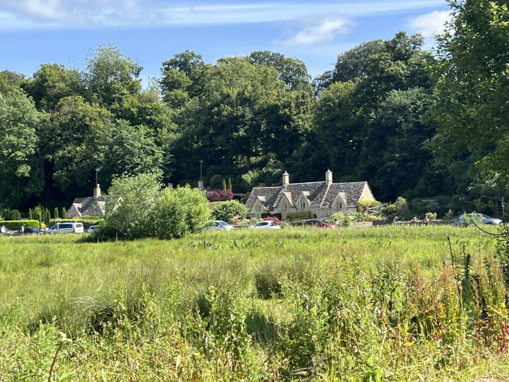
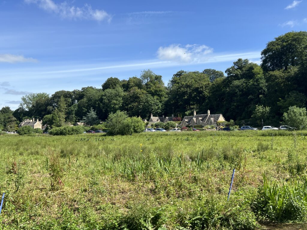
Rack Isle is a boggy water meadow in Bibury, Gloucestershire, situated along the River Coln. Managed by the National Trust, it gets its name from the wooden racks where wool was hung to dry after being washed at the iconic Arlington Row cottages.
Today, Rack Isle serves as a vital protected habitat for local wildlife.
- Flora & Fauna: The meadow is home to water voles, kingfishers, dragonflies, and marsh orchids. In early summer, it blooms with pink ragged robin and yellow flag iris.
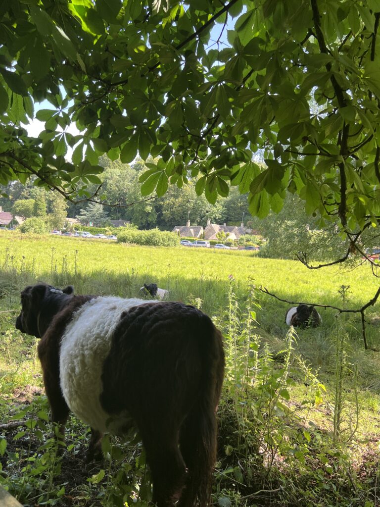
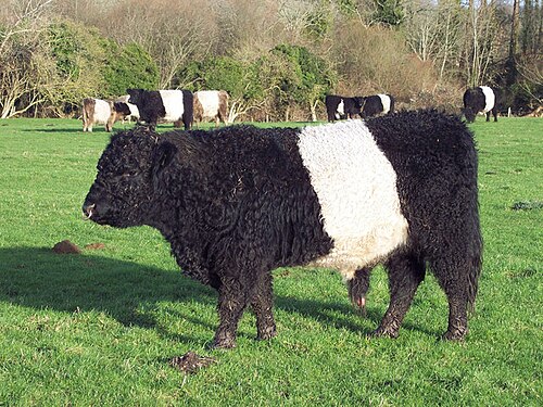
- Grazing: A small herd of docile Belted Galloway cattle graze the area in late summer to help conserve the ecosystem.
- Visitor Access: While there is no public access to the adjacent Arlington Row weavers’ cottages (now private homes and holiday lets), the surrounding area is an Area of Outstanding Natural Beauty where you can view the meadow and walk along the river.
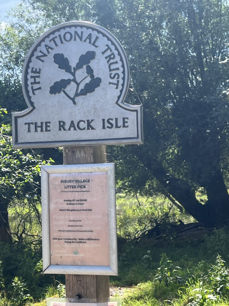
Bibury is a village and civil parish in Gloucestershire, England. It is on the River Coln, a Thames tributary that rises in the Cotswolds. The village center is 6 miles (10 kilometers) northeast of Cirencester. Arlington Row is a nationally notable architectural conservation area depicted on the inside cover of some British passports. It is a major destination for tourists visiting the traditional rural villages, tea houses and many historic buildings of the Cotswold District; it is one of six places in the country featured in Mini-Europe, Brussels.
Bibury, a beautiful Cotswolds village
Rack Island, Bibury, The Cotswolds – Echoes of the Past
Visiting Bibury | Gloucestershire | National Trust
The Belted Galloway is a traditional Scottish breed of beef cattle. It derives from the Galloway stock of the Galloway region of south-western Scotland, and was established as a separate breed in 1921. It is adapted to living on the poor upland pastures and windswept moorlands of the region. The exact origin of the breed is unclear, although the white belt for which they are named, and which distinguishes the breed from black Galloway cattle, is often surmised to be the result of cross-breeding with the similarly colored Dutch Lakenvelder.
The cattle are reared principally for beef; they may also be kept for ornament or for conservation grazing (vegetation management).
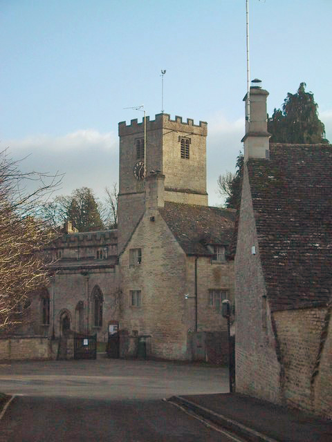
The Anglican Church of St Mary at Bibury in the Cotswold District of Gloucestershire, England, was built in the 11th century.
The first church in Bibury was established in 899. The Anglo-Saxon church was built in the middle to late 11th century with further work in subsequent centuries.
St Mary’s is a limestone building with a stone slate roof. The church consists of a nave with north and south aisles and a clerestory, chancel and a south porch.
The tower arises from the north west corner of the church, supported by buttresses. It contains a 15th-century belfry.
The north doorway of the Church was constructed around 1180.
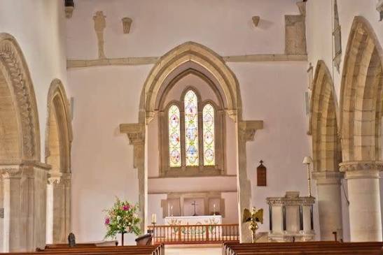
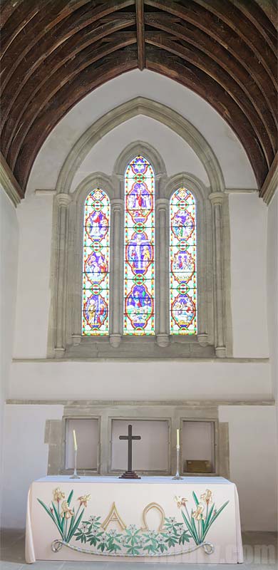
St Mary’s has a fine collection of stained-glass windows, including the one pictured here.
The oldest of the stained glass is from the 13th century
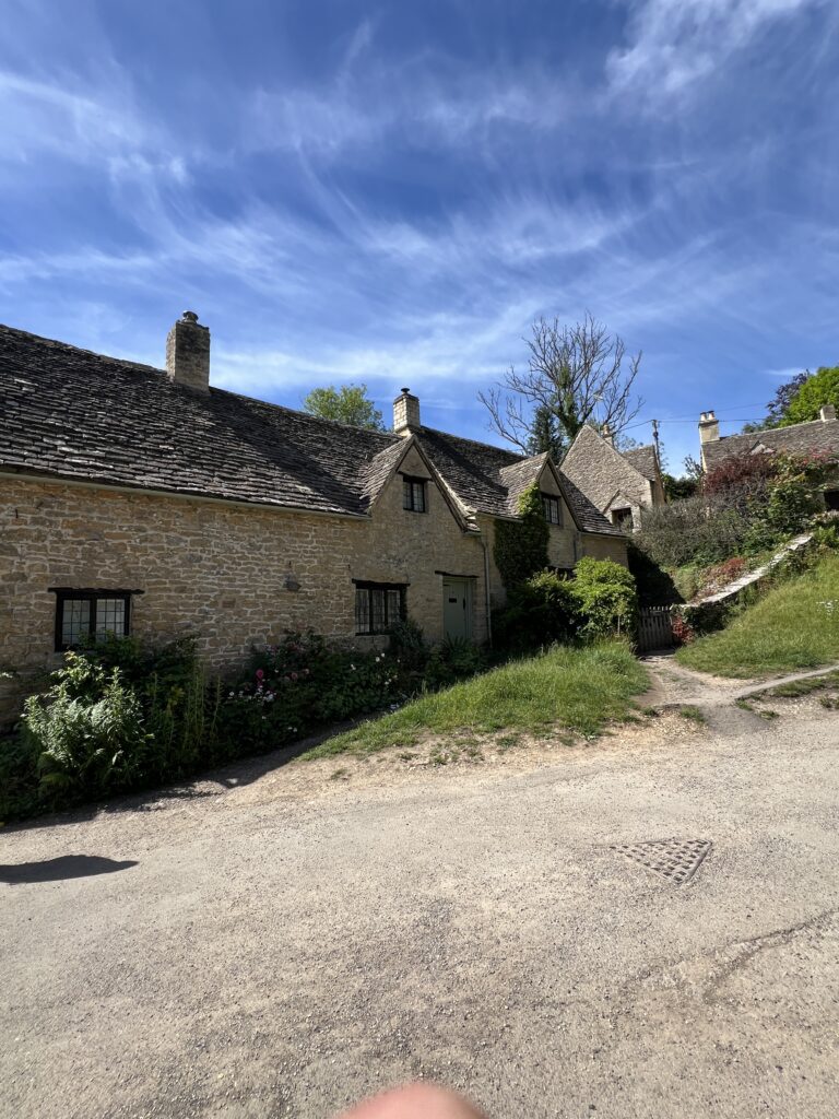
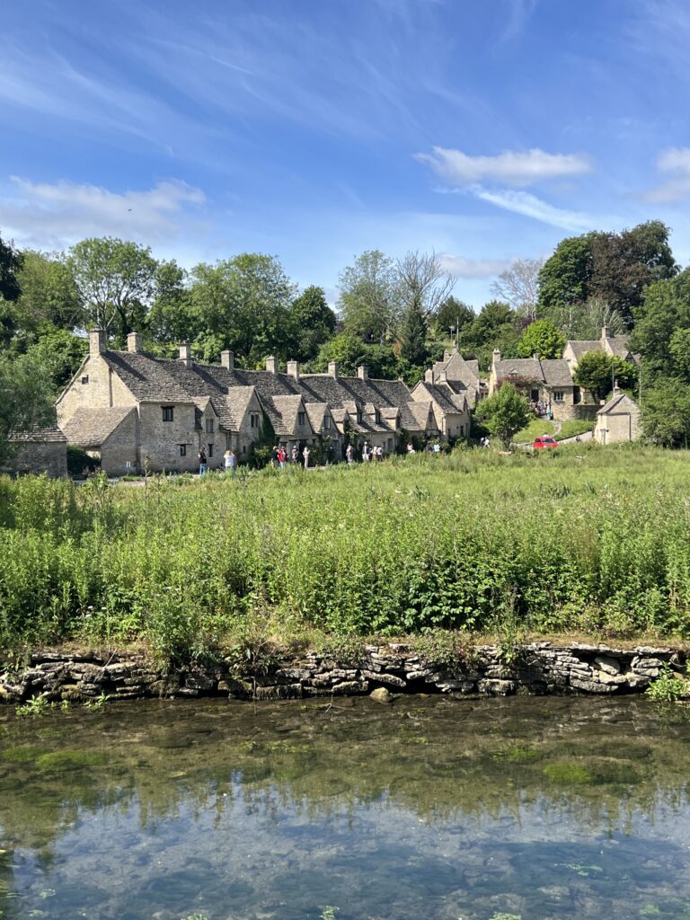
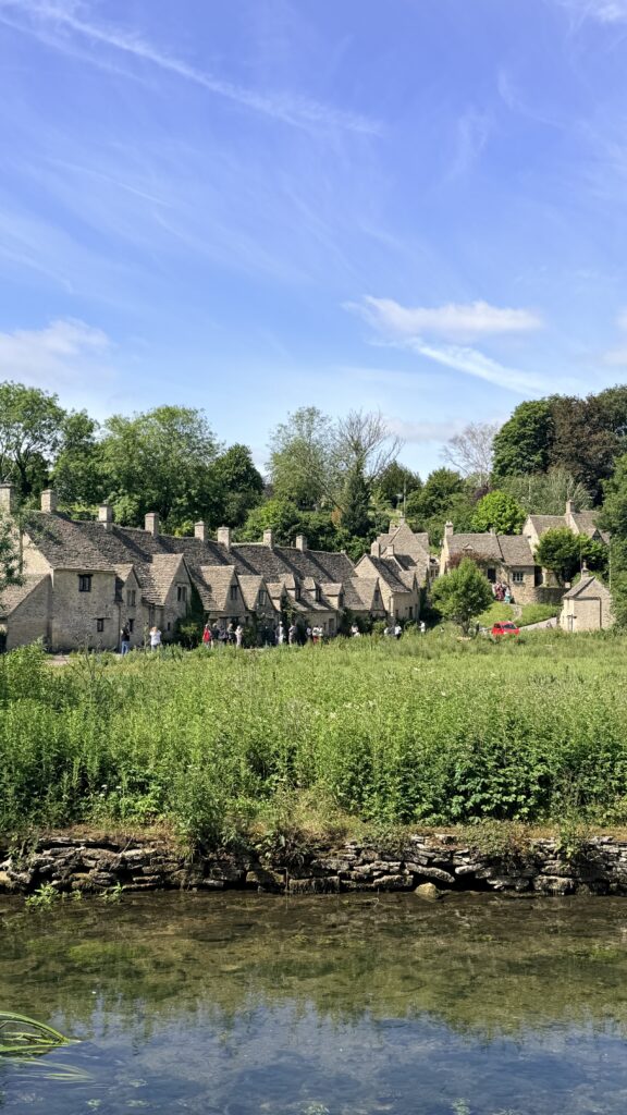
A row of tenanted 17th-century weavers’ cottages and water meadow set in the Cotswold village of Bibury
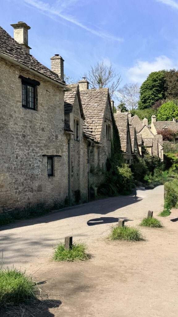
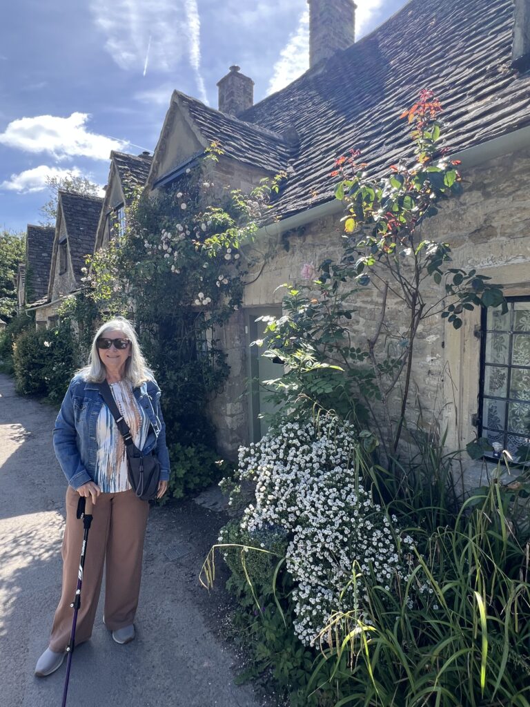
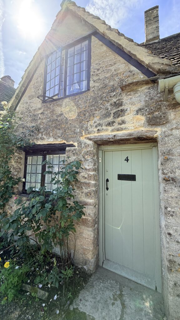
The picturesque Arlington Row cottages were built in 1380 as a monastic wool store. This was converted into a row of cottages for weavers in the 17th century. The cloth produced there was sent to Arlington Mill. Arlington Row is a popular visitor attraction, probably one of the most photographed Cotswold scenes, and was preserved by the Royal College of Arts. It has been used as a film and television location, most notably for the film Stardust.

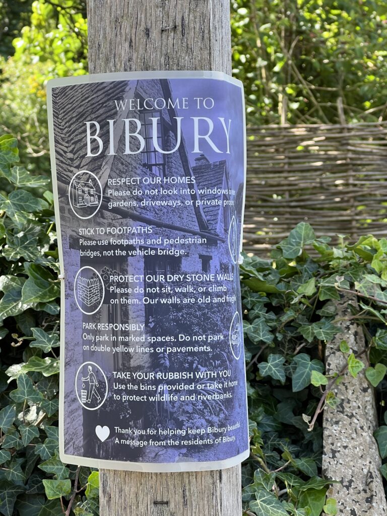
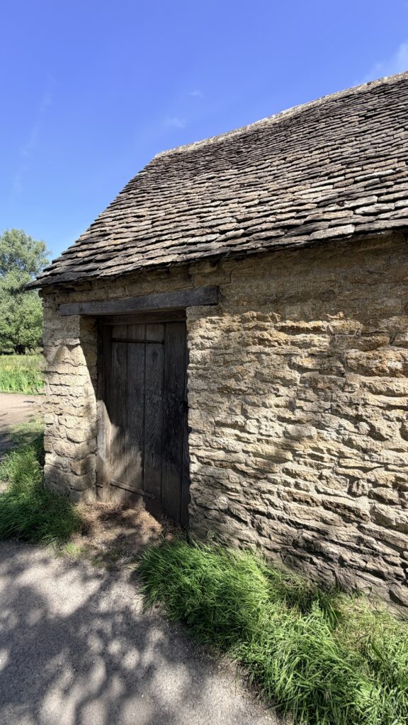
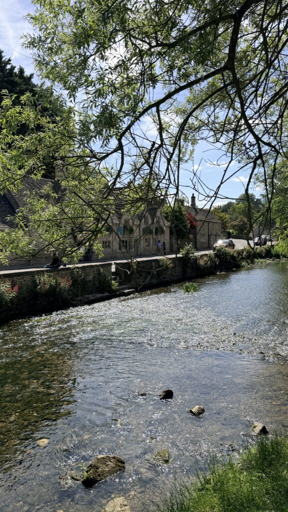
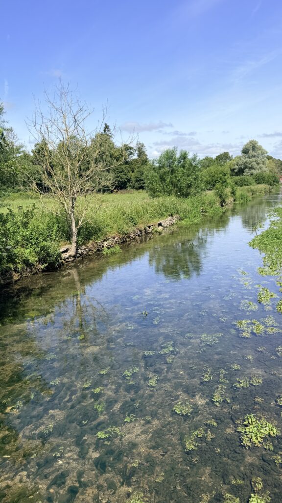
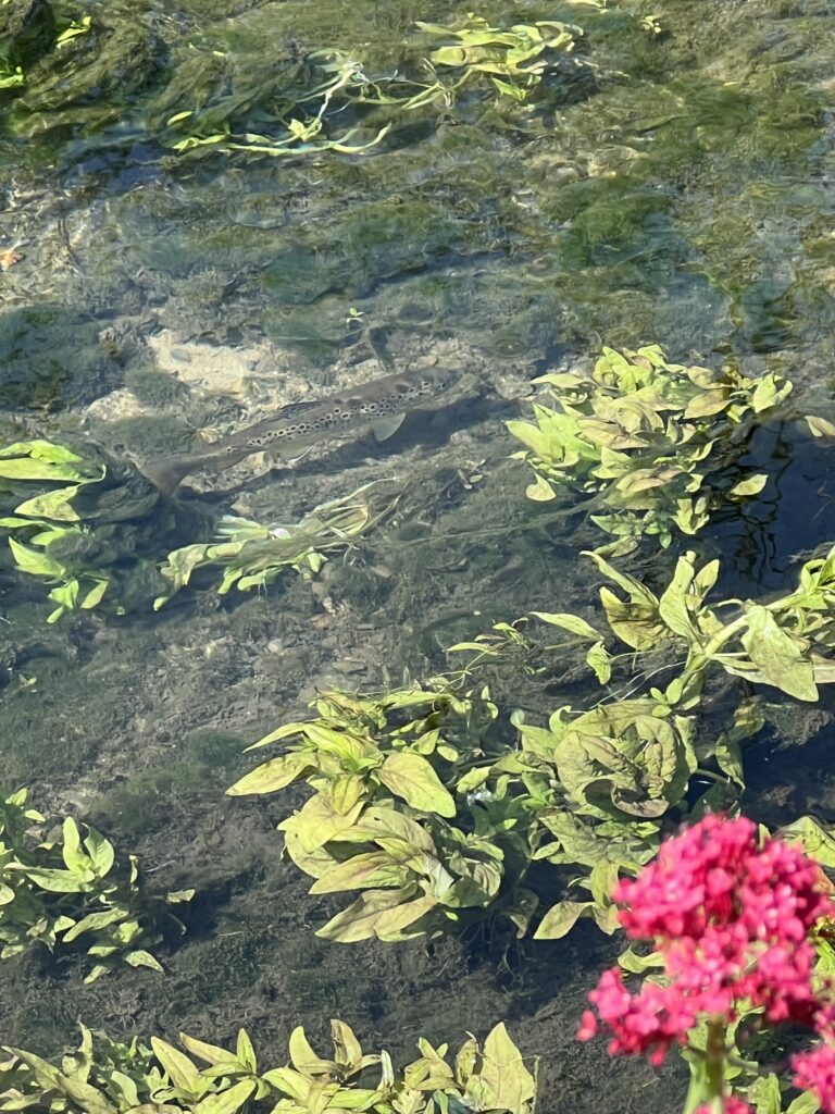
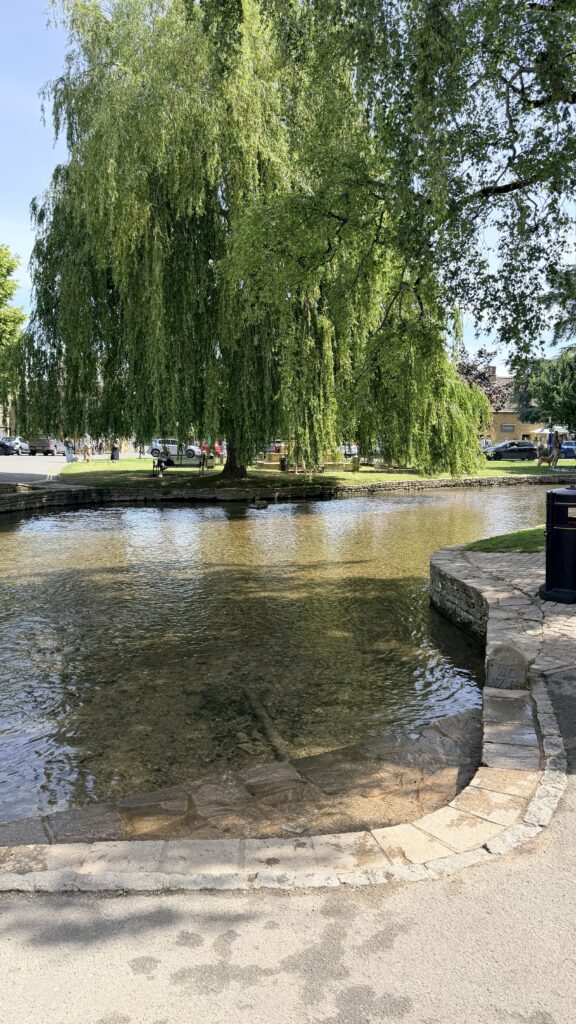
There were trout swimming in the waters
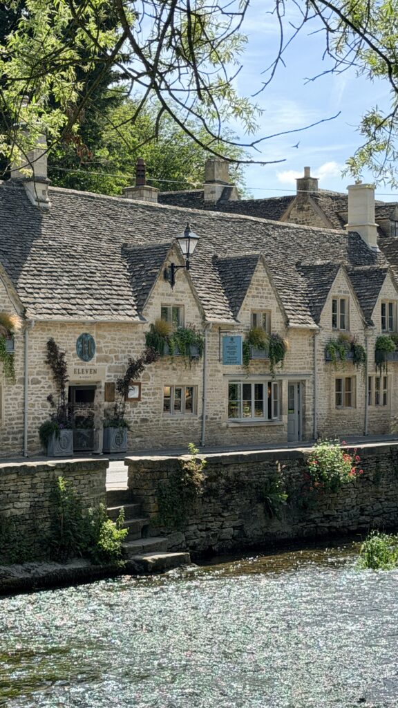
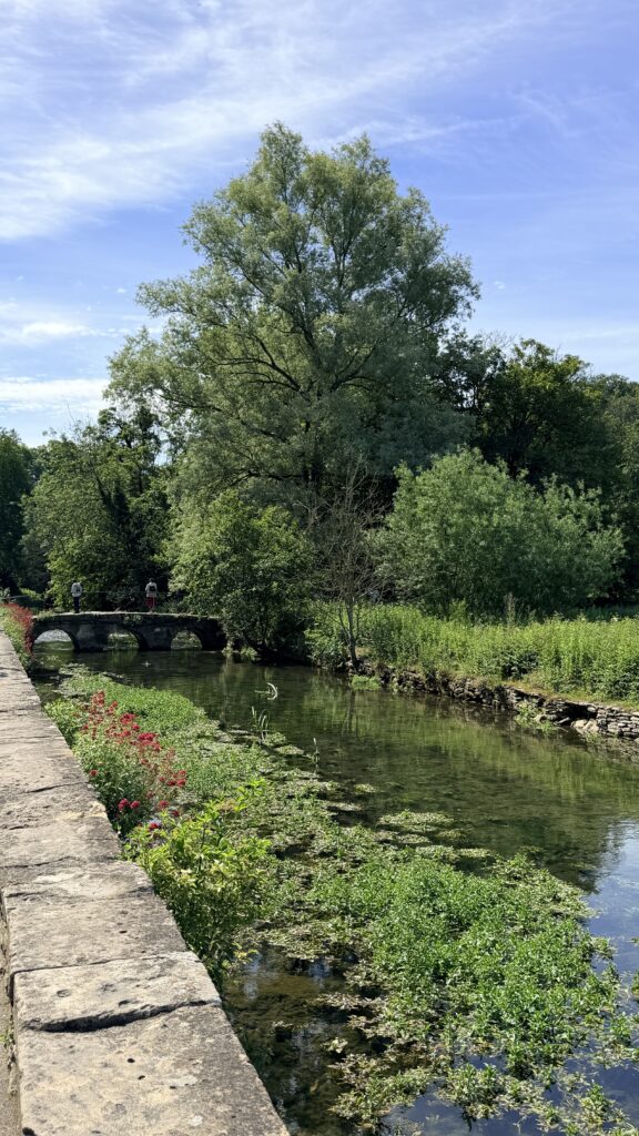
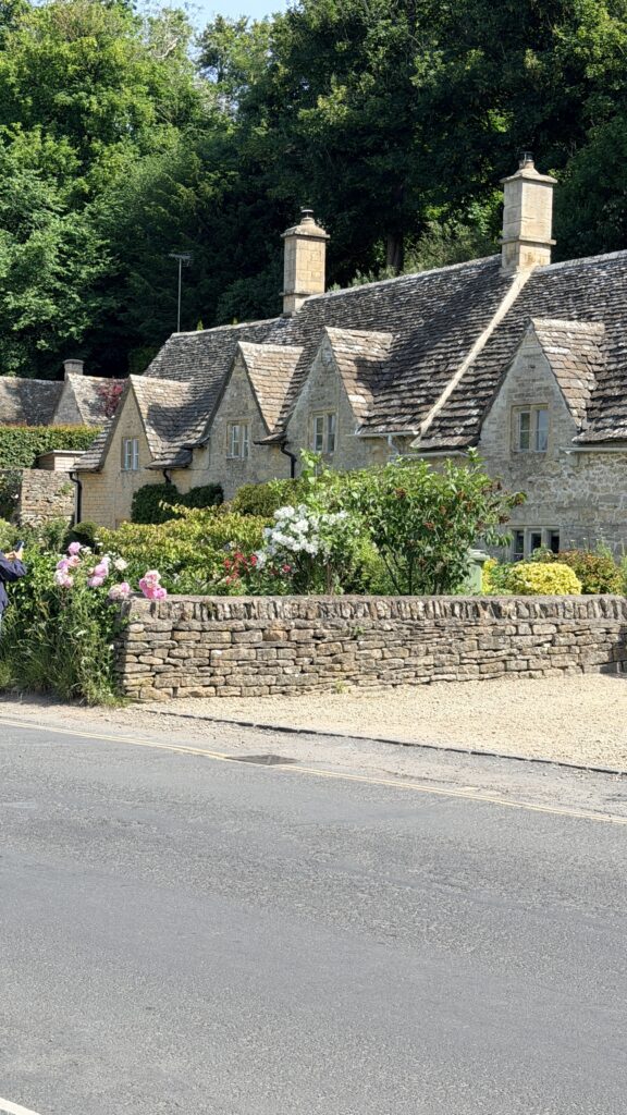
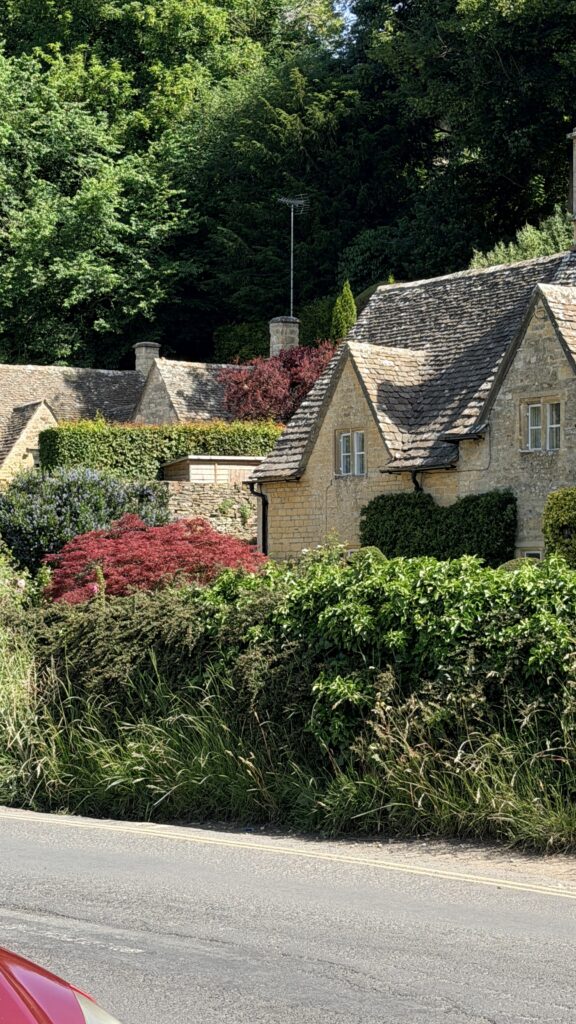
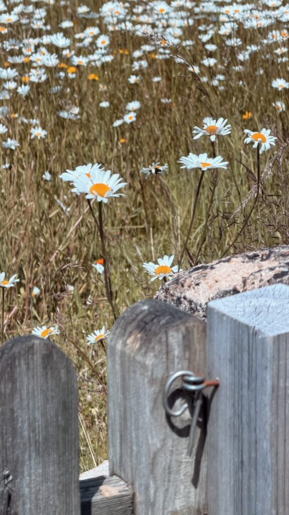
Bourton-on-the-Water is a village and civil parish in Gloucestershire, England, that lies on a wide flat vale within the Cotswolds Area of Outstanding Natural Beauty. The village had a population of 3,296 at the 2011 census. Much of the village center is a designated Conservation Area.
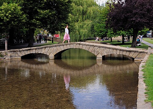
Bourton-on-the-Water’s high street is flanked by long wide greens and the River Windrush that runs through them. The river is crossed by five low, arched stone bridges. They were built between 1654 and 1953, leading to the nickname of “Venice of the Cotswolds”.
The village often has more visitors than residents during the peak tourist season. Some 300,000 visitors arrive each year as compared to under 3,500 permanent residents.
There are three churches, Our Lady and St Kenelm Roman Catholic Church, Bourton-on-the-Water Baptist Church and St Lawrence, Church of England. The latter is usually open to visitors during the week. It is a Grade II listed building. A part of it was built in the 14th century but major modifications were made in the 1780s and in the late 1800s.
Educational institutions include Bourton-on-the-Water Primary School and the Cotswold School, a co-educational comprehensive school.
The earliest evidence of human activity within the Bourton-on-the-Water area was found in the Slaughter Bridge gravel-spread, where Neolithic pottery (dated c. 4000 B.C.) was discovered. Moreover, excavations of the Salmonsbury Camp give evidence of almost continuous habitation through the Neolithic period, the Bronze Age and throughout England’s Roman period (c. 43 to 410 A.D.). A Roman road, Icknield Street (also known as Ryknild Street), ran from the Fosse Way at Bourton-on-the-Water to Templeborough in South Yorkshire. Ancient Roman pottery and coins discovered in the village itself give clear evidence of extended Roman occupation. By the 11th century a Christian church, Norman, was established and the village had developed along the River Windrush much as it is today. Centuries earlier, a Saxon timber church was located on that site in about AD 708, built on the site of an old Roman temple. Some of the St Lawrence church on that site today was built in the 14th century but most of it is from the 17th and 18th centuries.
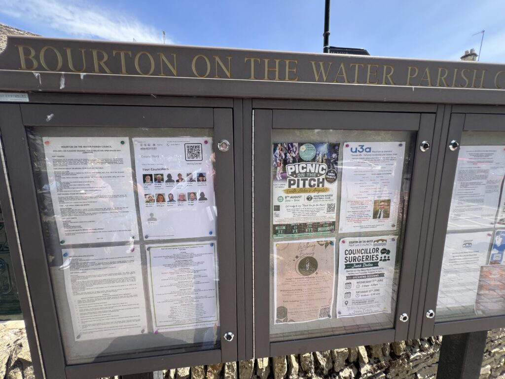
Visiting Bourton | Bourton-on-the-Water Parish Council
One of the bridges in the village
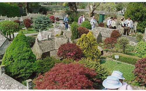
The model village is a 1:9 replica of the village and includes a model of the model village itself (a model within a model). It was built by local craftsmen in the 1930s, and opened in 1937. The model village was awarded Grade II listed status in 2013 in recognition of its uniquely precise details and the genuine building materials and methods used, which replicate those used in the construction of the life-size village.
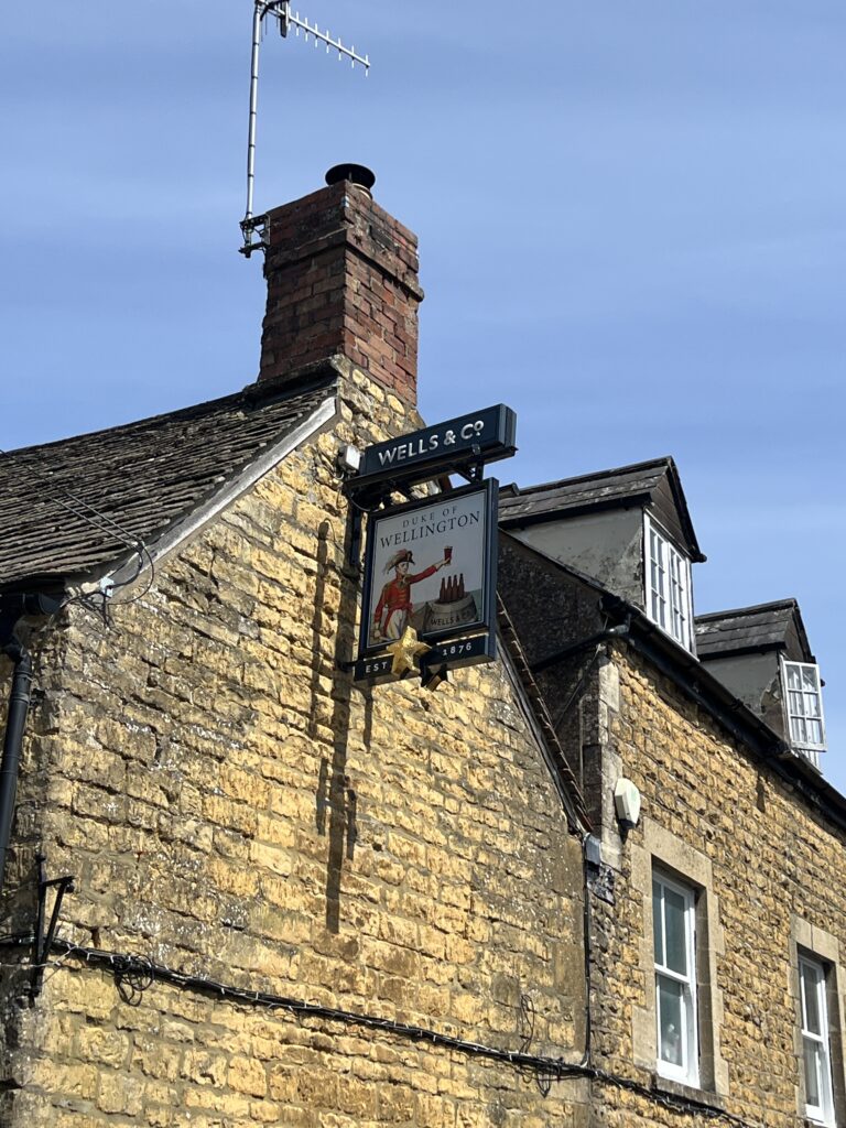
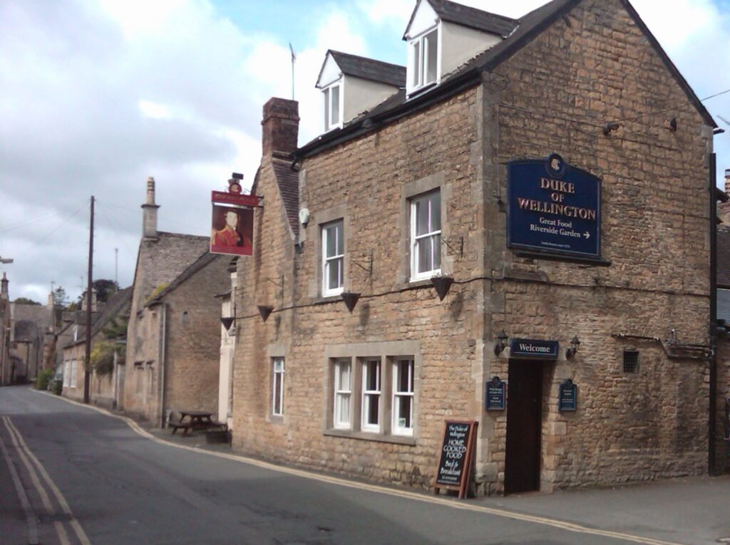
The Duke of Wellington pub and inn is located in the picturesque village of Bourton-on-the-Water (GL54 2BY), about 16 miles east of Cheltenham. This 16th-century coaching inn sits on the banks of the River Windrush. The Duke of Wellington was known as the Wellington Hotel in late Victorian and Edwardian times. In the 1891 and 1903 licensing books of Gloucestershire the inn is tied to Dunnell’s Brewery of Banbury. This was quite a rare brew in Gloucestershire and the Wellington was one of only three Gloucestershire pubs to sell Dunnell’s beer (the other two were the Plough at Cold Aston and the White Lion in Moreton in Marsh). The Duke of Wellington is now owned by Charles Wells of Bedford (Wells and Youngs Brewery). The pub is ideally positioned in the picturesque tourist trap of Bourton on the Water. The River Windrush runs through the pubs garden.
Duke of Wellington – Burton on the Water
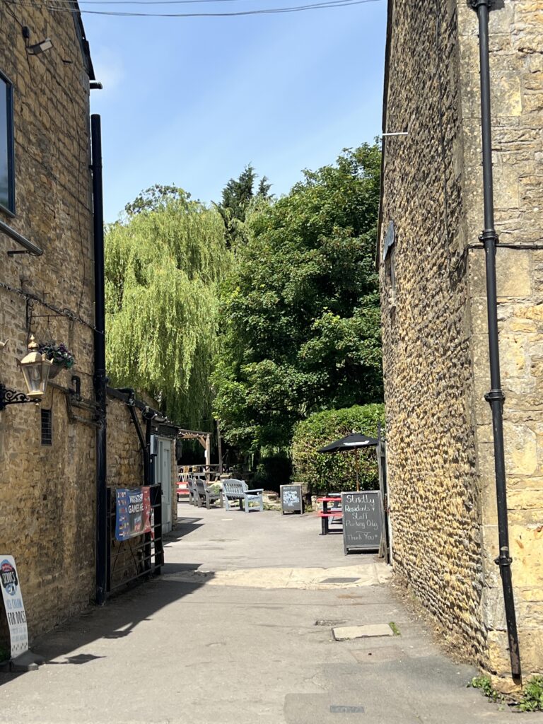
Bakery on the Water is a family-run artisan bakery and café situated at 1 Sherborne Street in Bourton-on-the-Water, Gloucestershire, UK. The establishment offers a variety of freshly baked goods, including bread, pastries, and cakes, as well as breakfast and lunch options. It features a riverside terrace for outdoor seating and is dog-friendly. The bakery is wheelchair accessible and does not require reservations.
Cotswolds Artisan Bakery & Bespoke Cakes | Little Bakery Co.

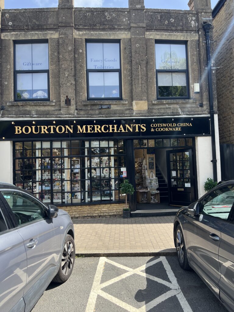

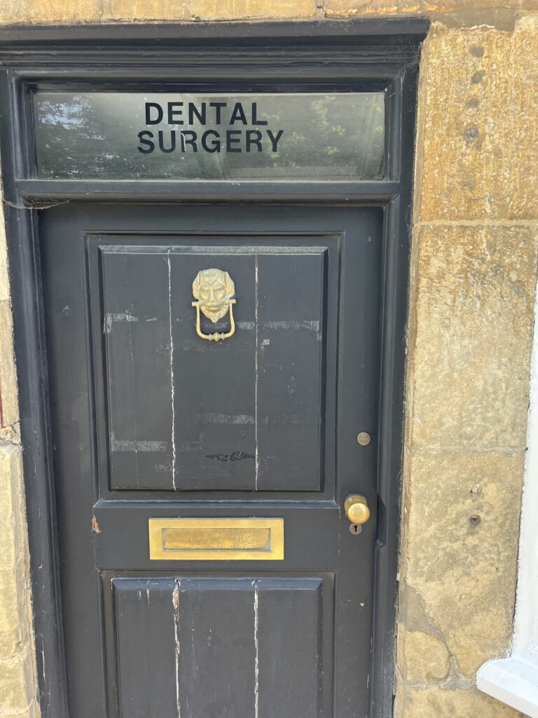
We took this photo for Leslie Juban, D.D.S.
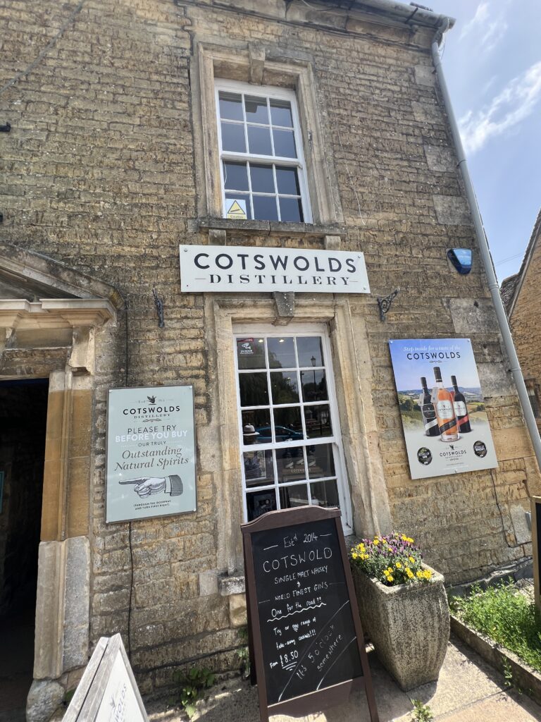
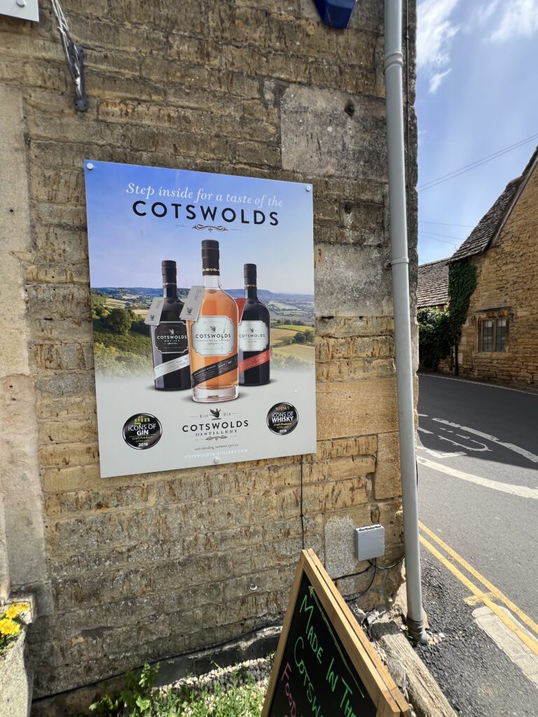
Cotswolds Distillery is an English distillery producing single malt whisky, gin and other spirits. It is located in Stourton, near Shipston-on-Stour, in the Cotswolds region of England. Founded in 2014, it was among the early producers of the modern English whisky revival and has since gained international recognition through industry awards and specialist retail distribution.
Cotswolds Distillery | Award-Winning Whisky & Gin
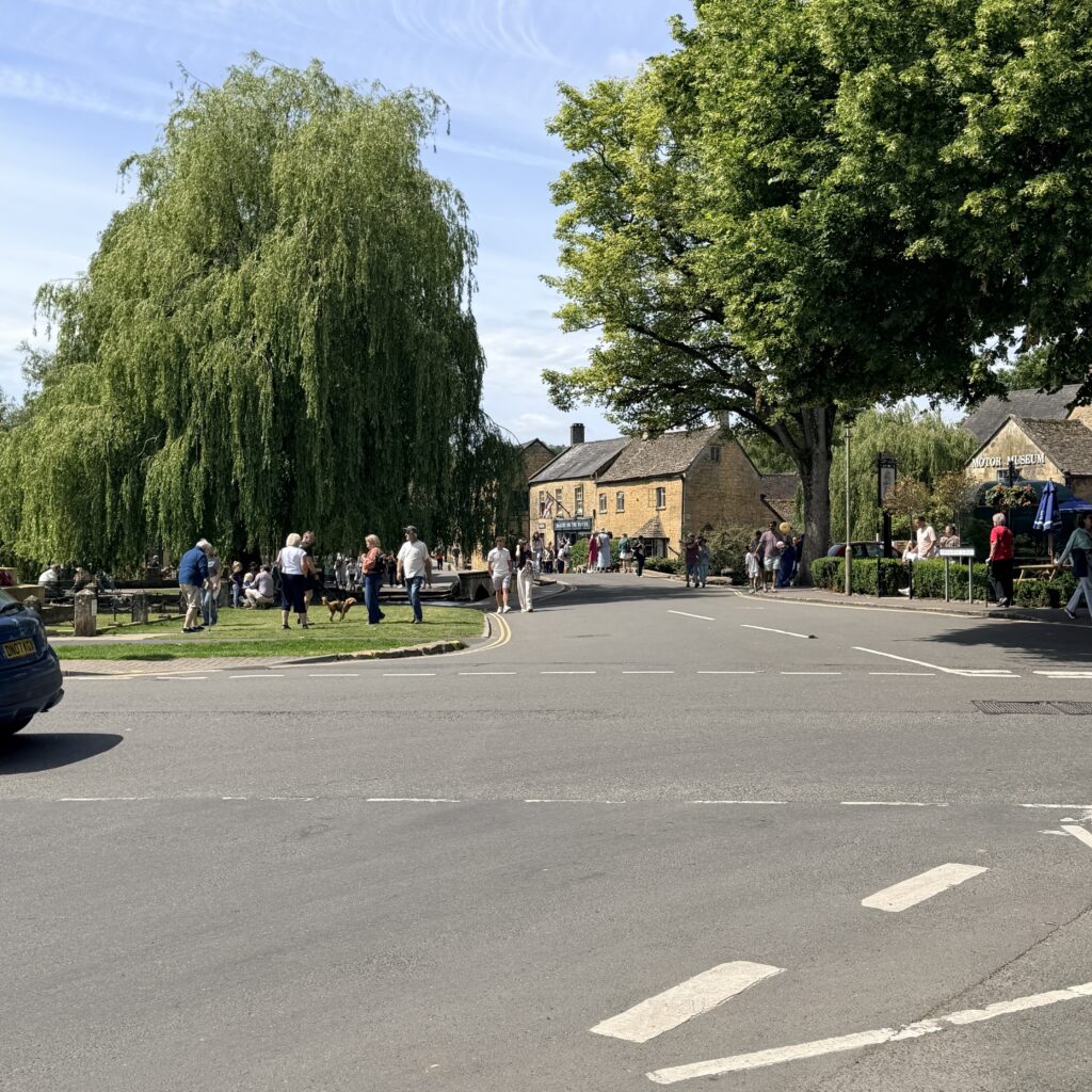
We stopped in this location for a quick bite.
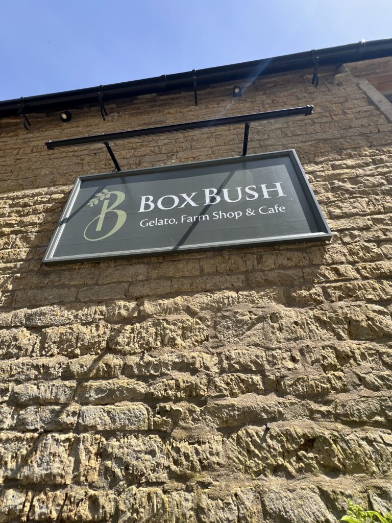
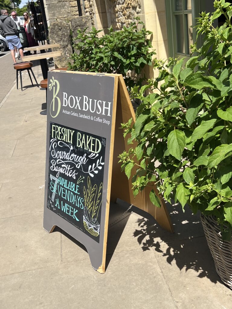
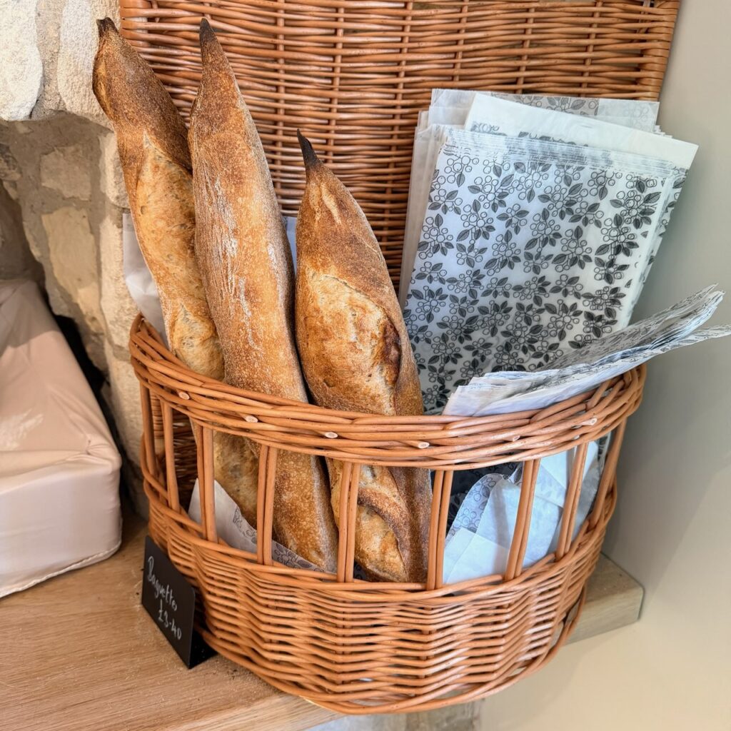
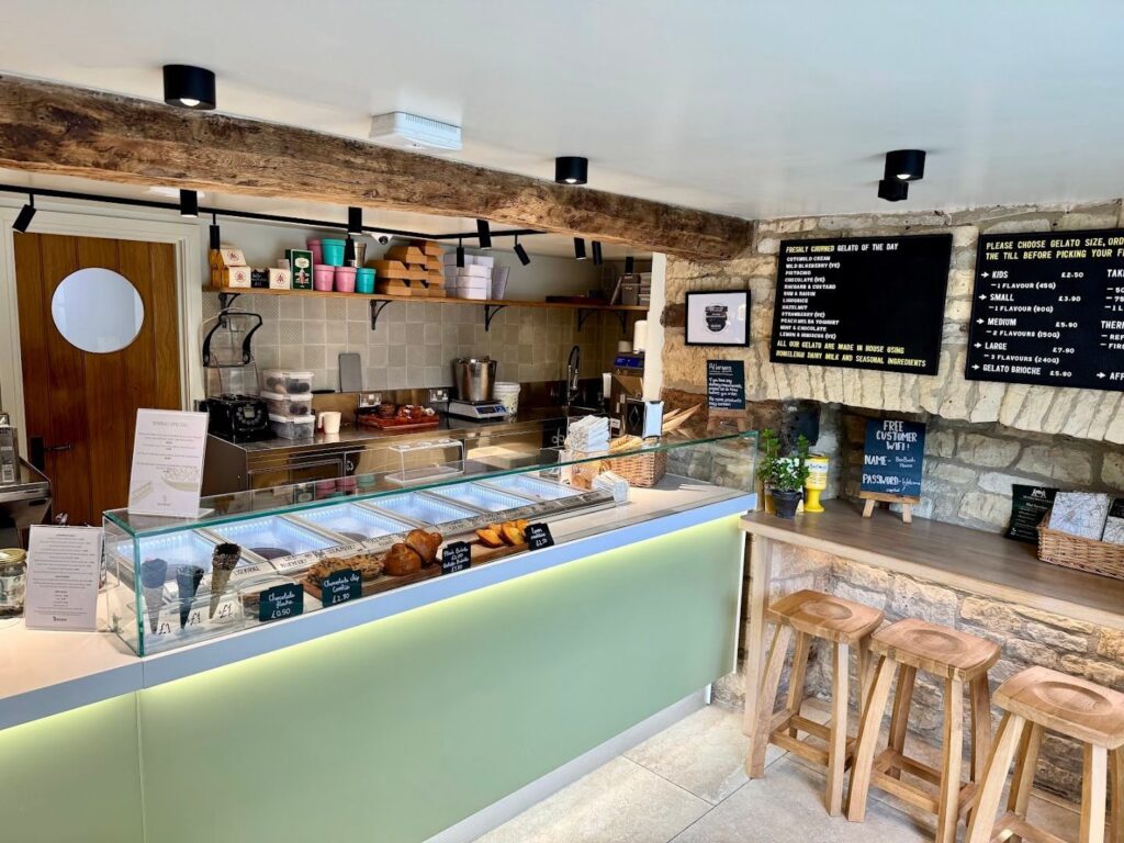
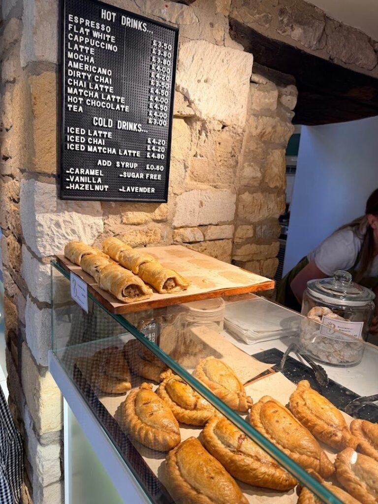
Box Bush is a charming spot in Bourton-on-the-Water that offers delightful breakfast options and a fantastic selection of gelato. Visitors rave about the delicious breakfast choices, including Cotswolds cream and coffee walnut ice cream. The friendly staff and relaxing outdoor seating under the tree make it a perfect place to enjoy some of the best trout and avocado sandwiches or brioche gelato
Tea room and Licensed Restaurant located in Bourton-on-the-Water. Famous for its cream, afternoon and celebration teas along with superb breakfasts, lunches, snacks, cakes, pastries and ice creams, The Chestnut Tree looks forward to welcoming you on your next visit. During the summer you can take tea on our private lawn adjacent to the river Windrush or maybe enjoy an ice cream or seasonal fruit from our take away kiosk.
Bed & breakfasts Bourton-on-the-Water, Cheltenham: Chestnuts Bed & Breakfast
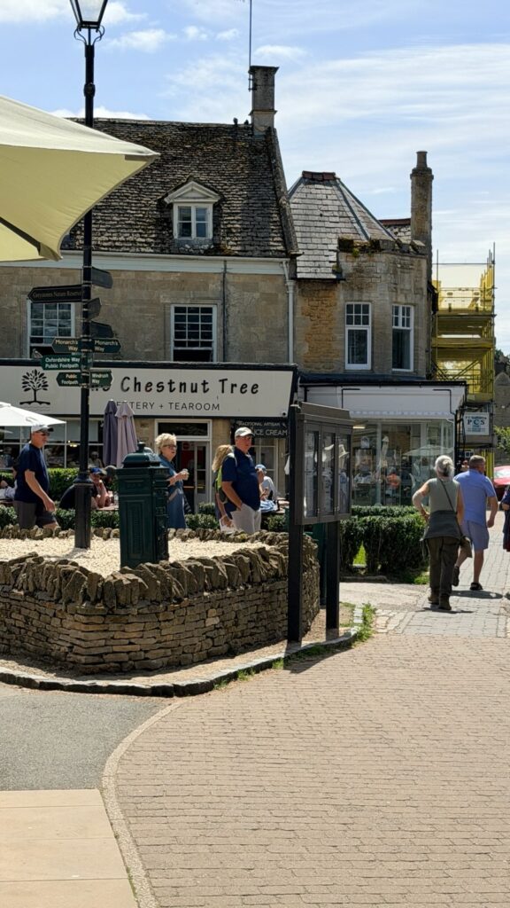
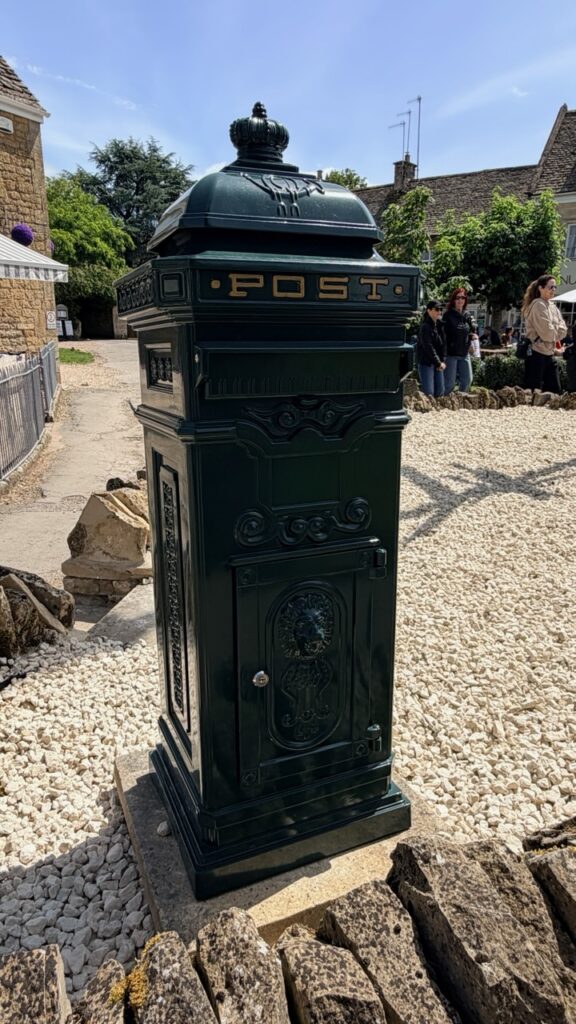
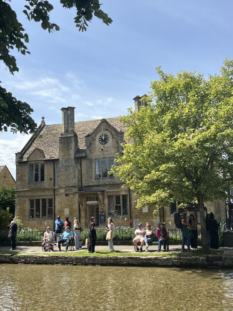
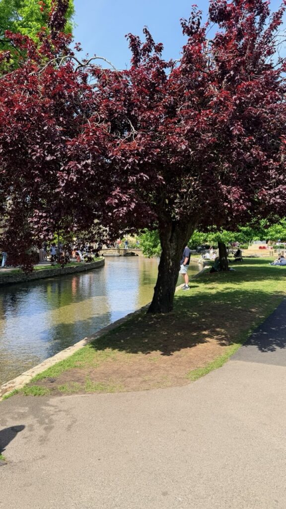
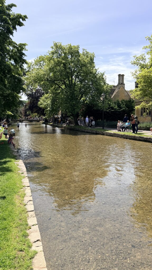
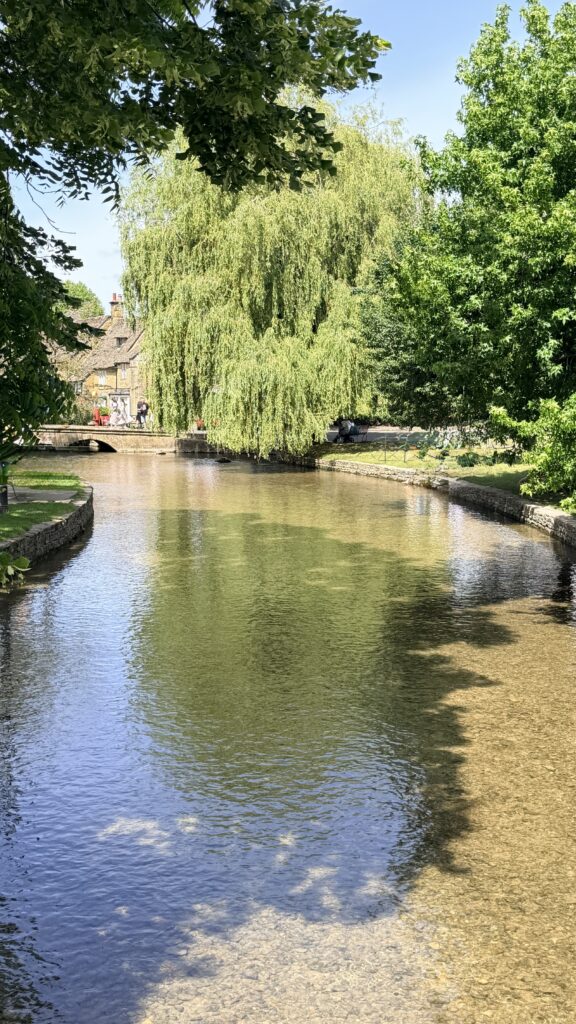
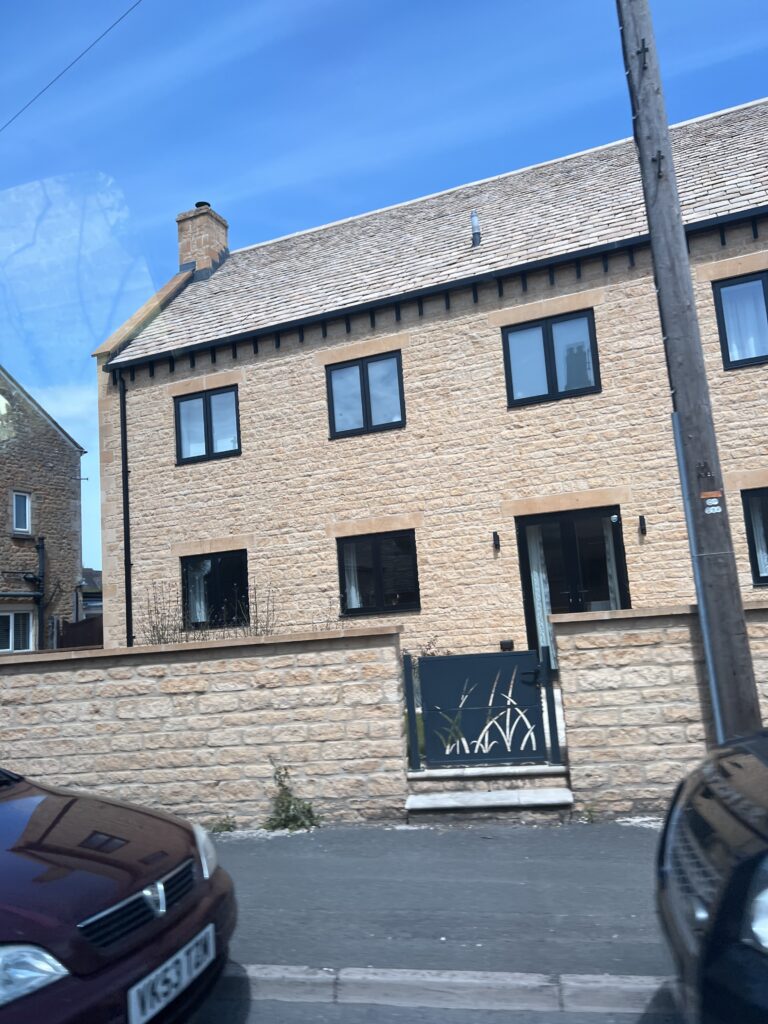
Homes in the village of Bourton on the Water
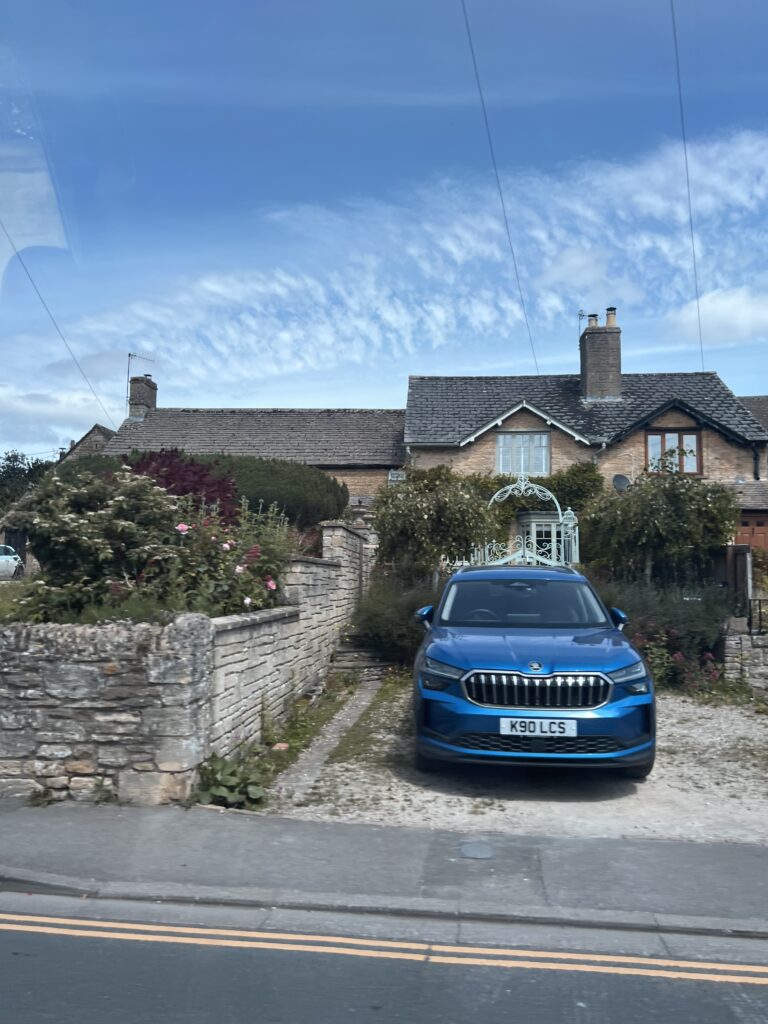
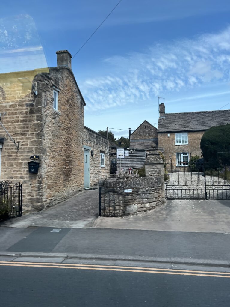
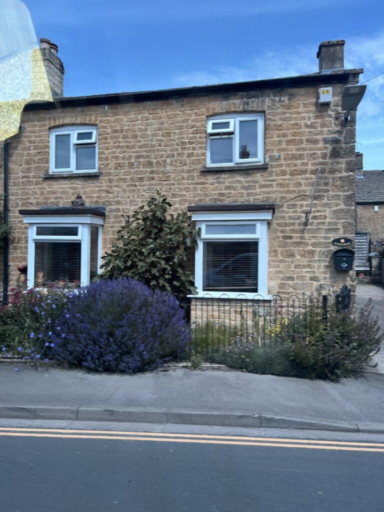
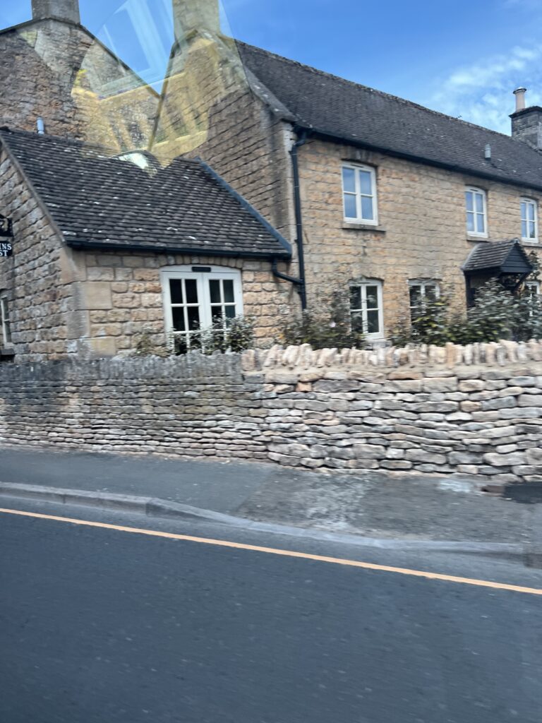
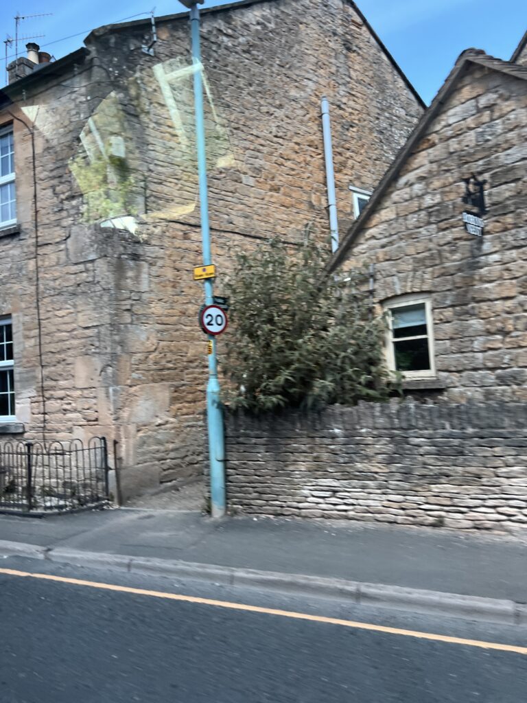
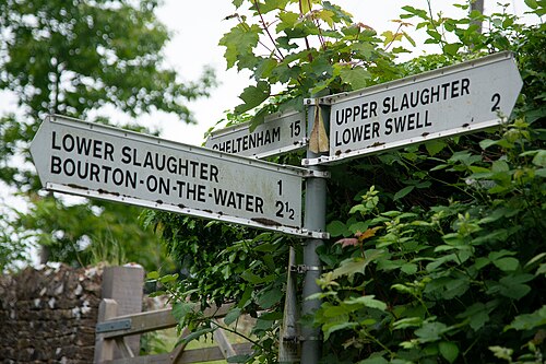
Upper and Lower Slaughter share a fascinating name, which derives from ‘miry place’. The link is the tiny River Eye, tributary to the nearby river Windrush. Lower Slaughter is just of the Fosse Way and very conservation-minded, a wander alongside the stream seems like a privilege. People actually live here! Upper Slaughter is equally attractive – a ‘sainted village’ meaning that it lost nobody in the First World War.
Lower Slaughter is a village in the Cotswold district of Gloucestershire, England, 4 miles (6.4 km) south west of Stow-on-the-Wold.
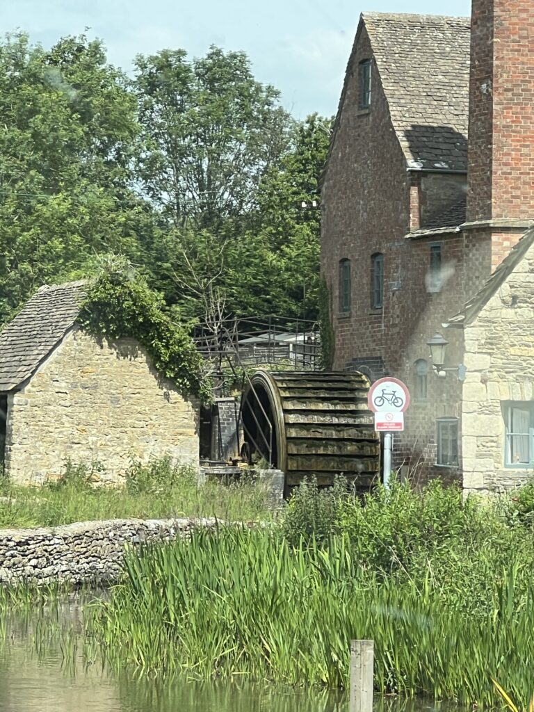
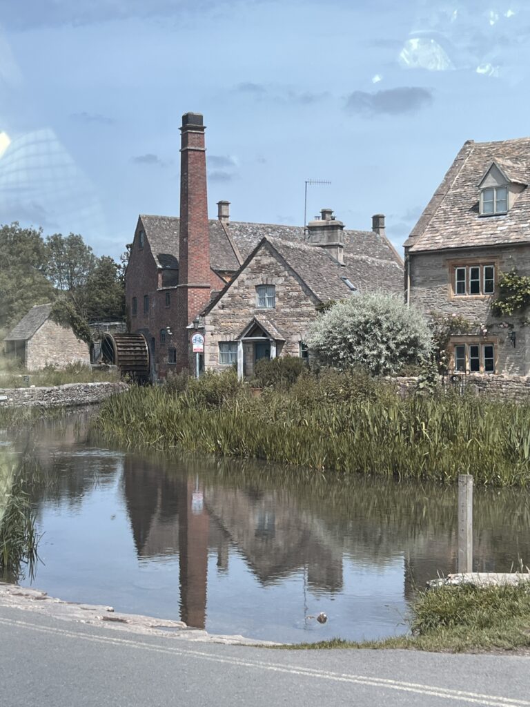
The village is built on both banks of the River Eye, a slow-moving stream crossed by two footbridges, which also flows through Lower Slaughter’s twin village Upper Slaughter. At the west end of the village there is a 19th-century water mill with an undershot waterwheel and a chimney for additional steam power. There is a ford where the river widens in the village and several small stone footbridges join the two sides of the community. While the mill is built of red brick most of the 16th and 17th century homes in the village use Cotswold limestone and are adorned with mullioned windows and often with other embellishments such as projecting gables.
The name of the village is derived from the Old English term “slough” meaning “wet land”.
Lower Slaughter has been inhabited for over 1,000 years. The Domesday Book of 1086 gives the village name as “Sclostre”. It further notes that in 1066 and 1086 that the manor was in the sheriff’s hands.
The village had a small school by 1863, but it was closed in 1931.
Lower Slaughter Manor, a Grade-II listed house, has stood on the site of today’s manor since at least the year 1004. The current house has been added to and altered over many generations, with significant sections dating from the late 17th century. A Norman knight, Sir Philip de Sloitre, was granted land here by William the Conqueror in the 11th century. Lower Slaughter Manor, a Grade-II listed 17th-century house, was granted to Sir George Whitmore in 1611 and remained in his family until 1964. The lords of the manor resided in the property until 1961.
Interior of St. Mary’s Church. The 13th-century Anglican parish church, Grade II listed, is dedicated to St Mary the Virgin. Much of the current structure was built in 1867, based on plans by architect Benjamin Ferrey.

Lower Slaughter
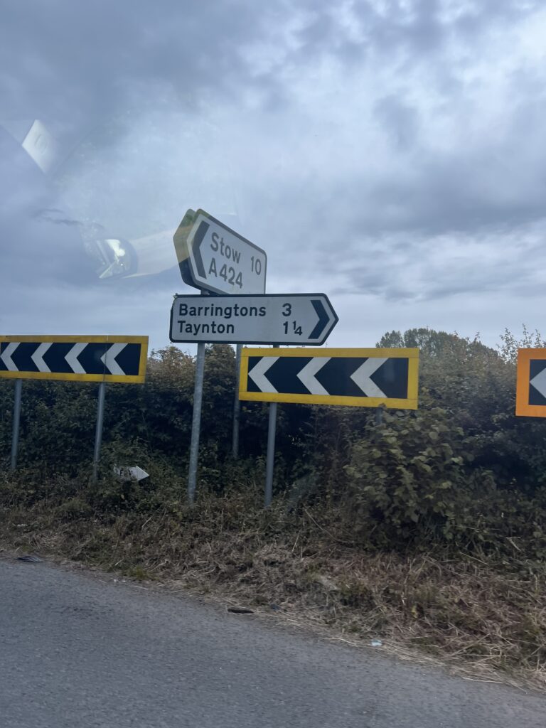
Road Signs
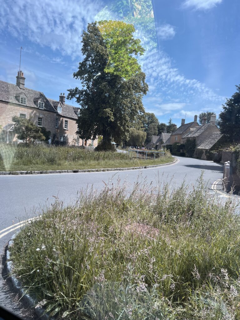
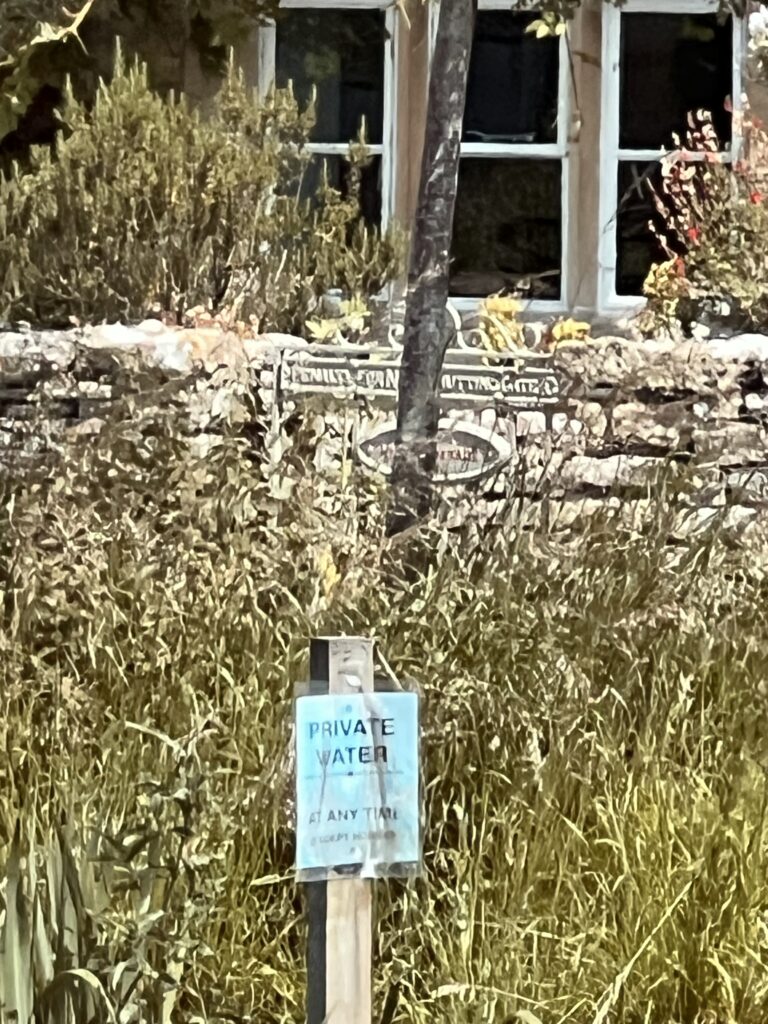
Lower Slaughter
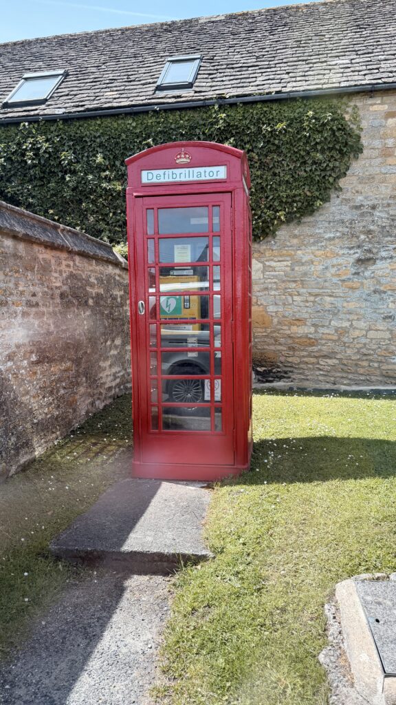
They no longer have pay phones but set up Defibrillator in the old phone booths.
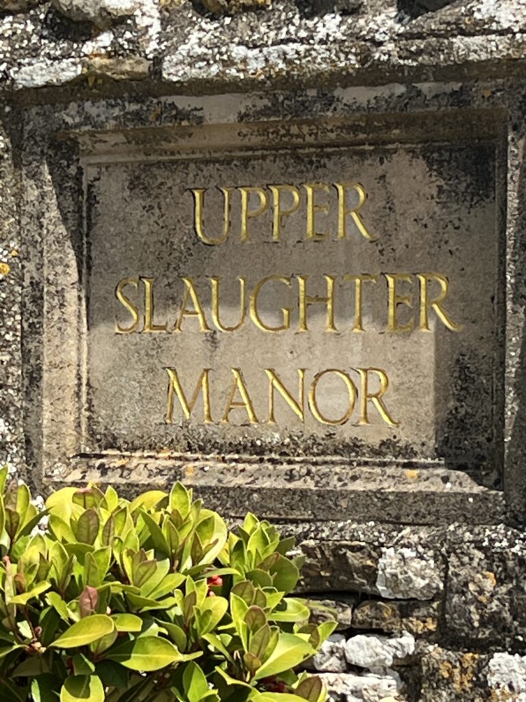
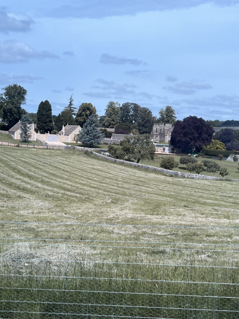
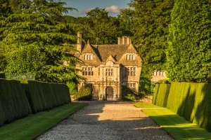
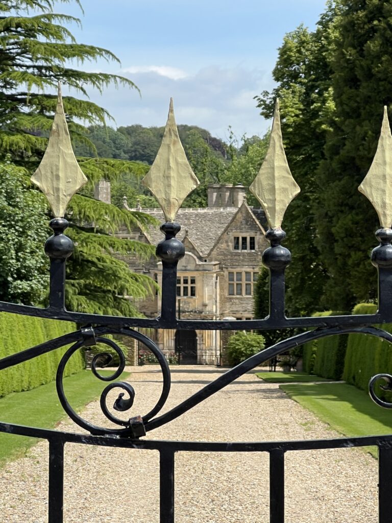
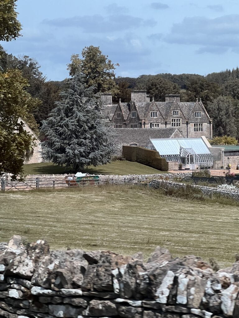
Upper Slaughter Manor is a picturesque Elizabethan manor house set in idyllic Cotswold countryside above the River Eye, just outside Bourton-on-the-Water. The house was built by the Slaughter family and incorporates part of an earlier medieval building.
The manor of Upper Slaughter dates back to the Saxon period, and in the Domesday Book of 1086 it is recorded as in the possession of Roger de Lacy, a powerful Norman nobleman, possibly as a submanor of the royal manor of Lower Slaughter. The Abbey at Evesham later claimed the estate, but their claim was rejected by the courts. By 1467 the abbey of Syon, near London, held the manor.
Sometime in the late 12th century the Slaughter family emerge as owners. They may have taken their name from the manor rather than giving the manor their family name. We do know that in 1282 John Slaughter and his wife are recorded as holding the manor.
The house we see today was begun in the Tudor period by the Slaughter family and extended several times, but it stands on the site of a much earlier building, as evidenced by the vaulted crypt beneath the building. The crypt has been dated to the 14th century and may have formed part of a medieval monastery.
An early name of the house seems to have been Well Place, a reference to the numerous springs, or wells, which supplied drinking water. Well House probably gave its name to one of the early lords of the manor, Richard Atwell.
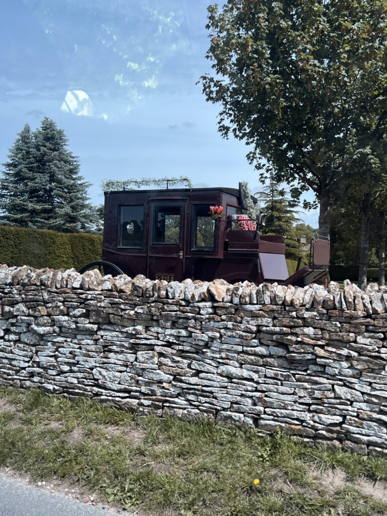
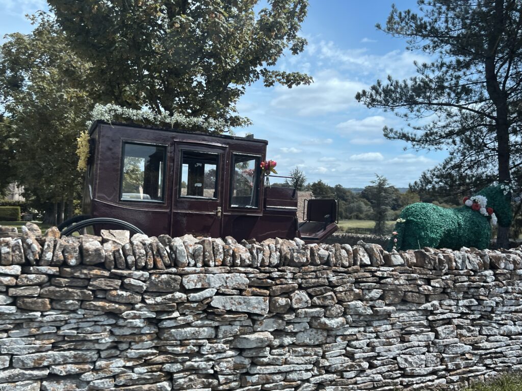
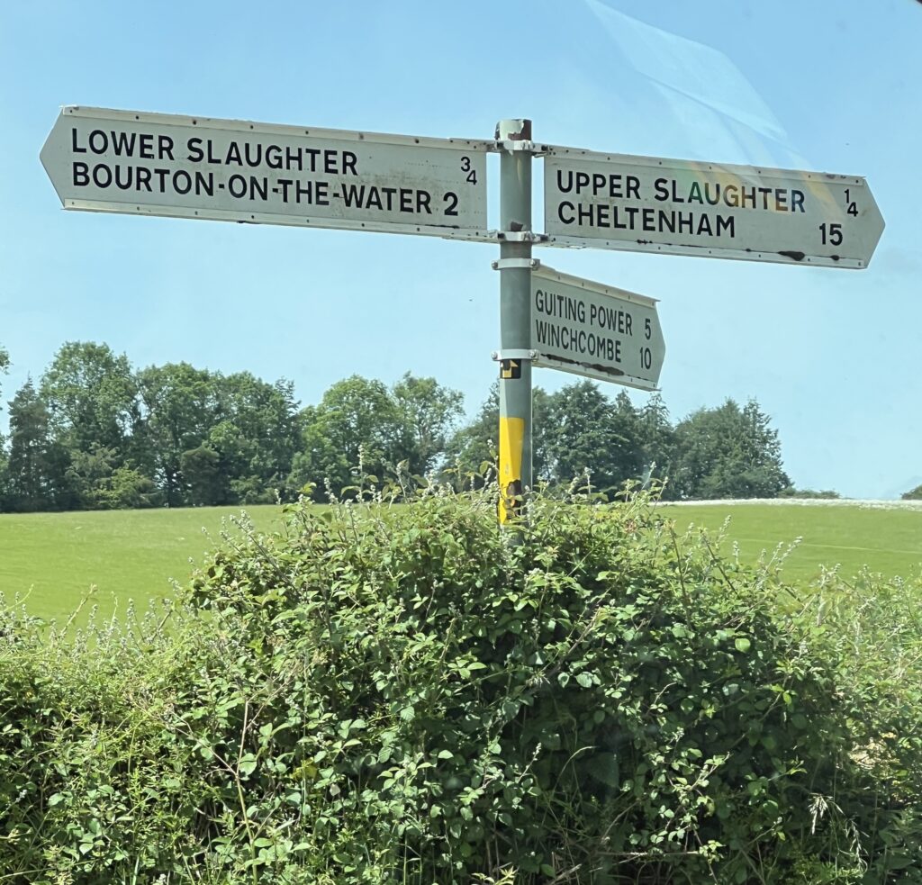
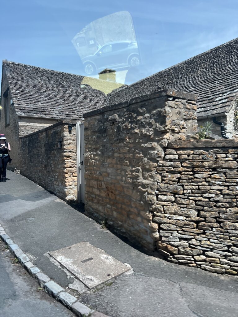
Upper Slaughter Sheep Farm
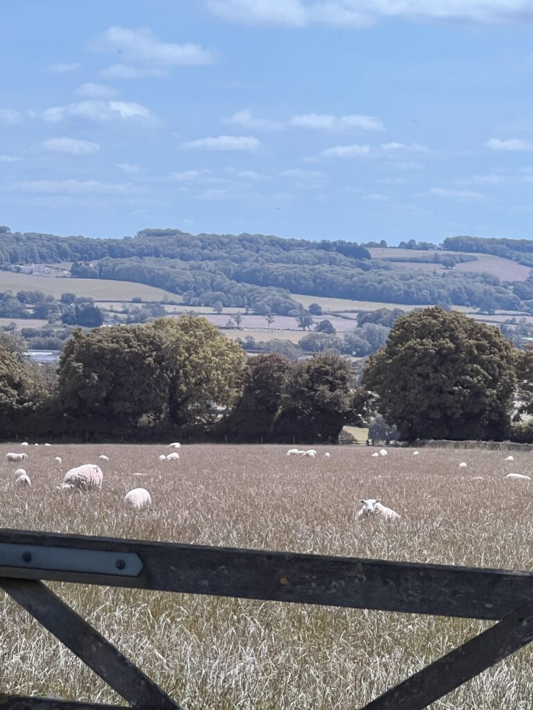
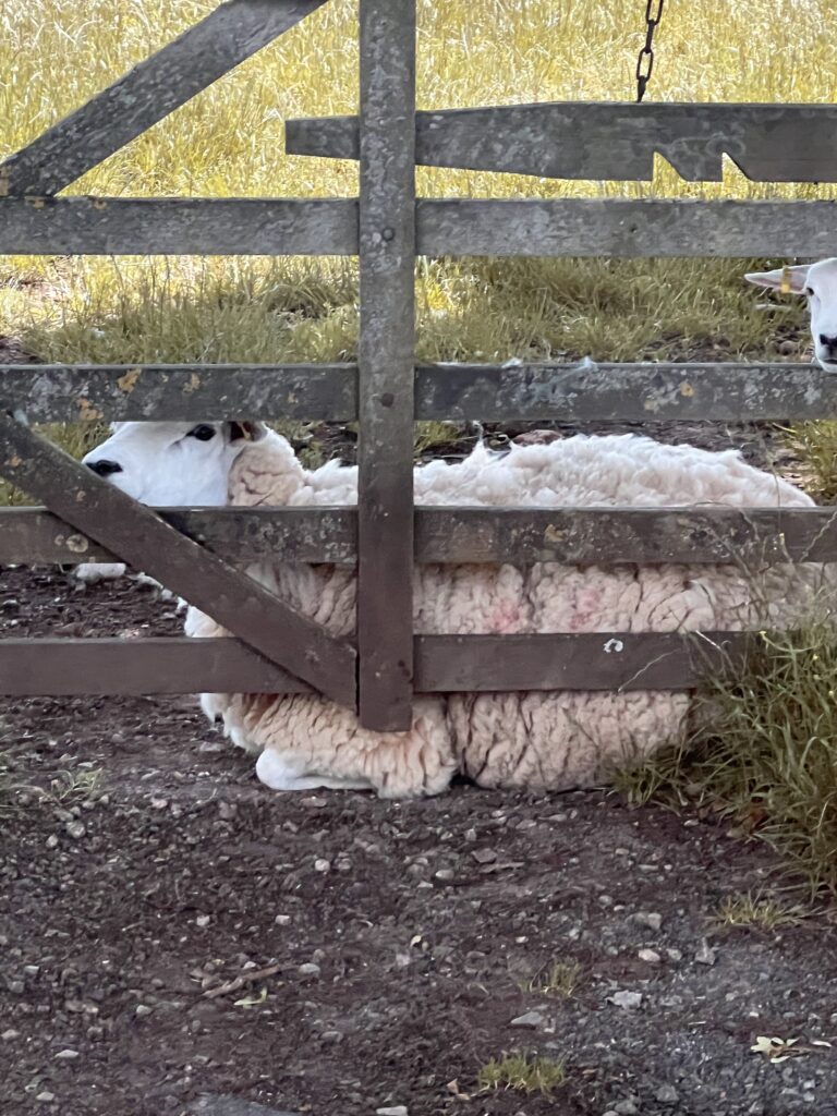
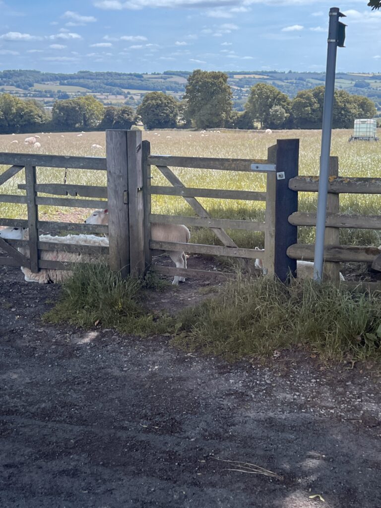
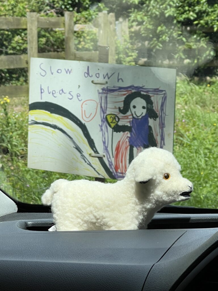
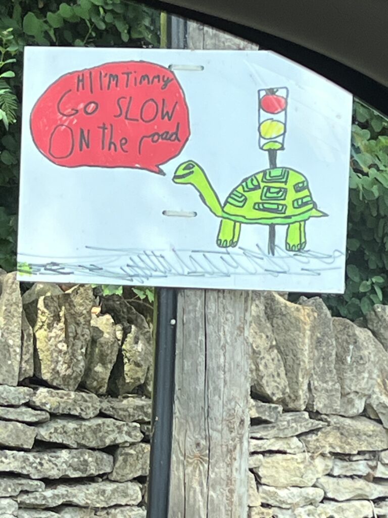
Street signs by students of the local school
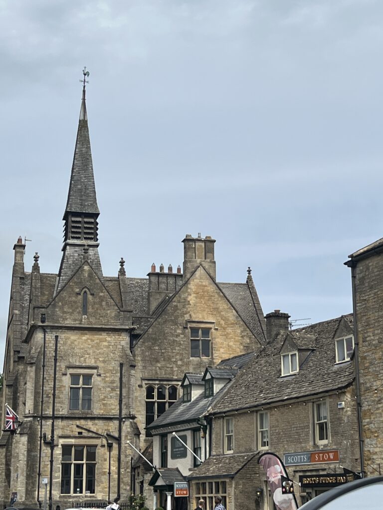
Stow-on-the-Wold is a market town and civil parish in Gloucestershire, England, on top of an 800-foot (244 m) hill at the junction of main roads through the Cotswolds, including the Fosse Way (A429), which is of Roman origin. The town was founded by Norman lords to absorb trade from the roads converging there. Fairs have been held by royal charter since 1330; a horse fair is still held on the edge of town nearest to Oddington in May and October each year.
Stow-on-the-Wold, originally called Stow St Edward or Edwardstow after the town’s patron saint Edward, probably Edward the Martyr, is said to have originated as an Iron Age fort on this defensive position on a hill. There are other sites of similar forts in the area, and Stone Age and Bronze Age burial mounds are common throughout the area. It is likely that Maugersbury was the primary settlement of the parish before Stow was built as a marketplace on the hilltop nearer to the crossroads, to take advantage of passing trade. The name Stow derives from the Old English stōw meaning ‘place’. Originally the small settlement was controlled by abbots from the local abbey, and when the first weekly market was set up in 1107 by Henry I, he decreed that the proceeds go to Evesham Abbey.
In 1330, a royal charter by Edward III set up an annual 7-day market to be held in August. The royal charter granted a fair where sheep and horses were allowed to be sold. In 1476, Edward IV replaced that with two 5-day fairs, two days before and two days after the feast of St Philip and St James in May, and similarly in October on the feast of Edward the Confessor (the saint associated with the town). The aim of the annual charter fairs was to establish Stow as a place to trade and alleviate the unpredictability of the passing trade. These fairs were located in the square, which is still the town center.
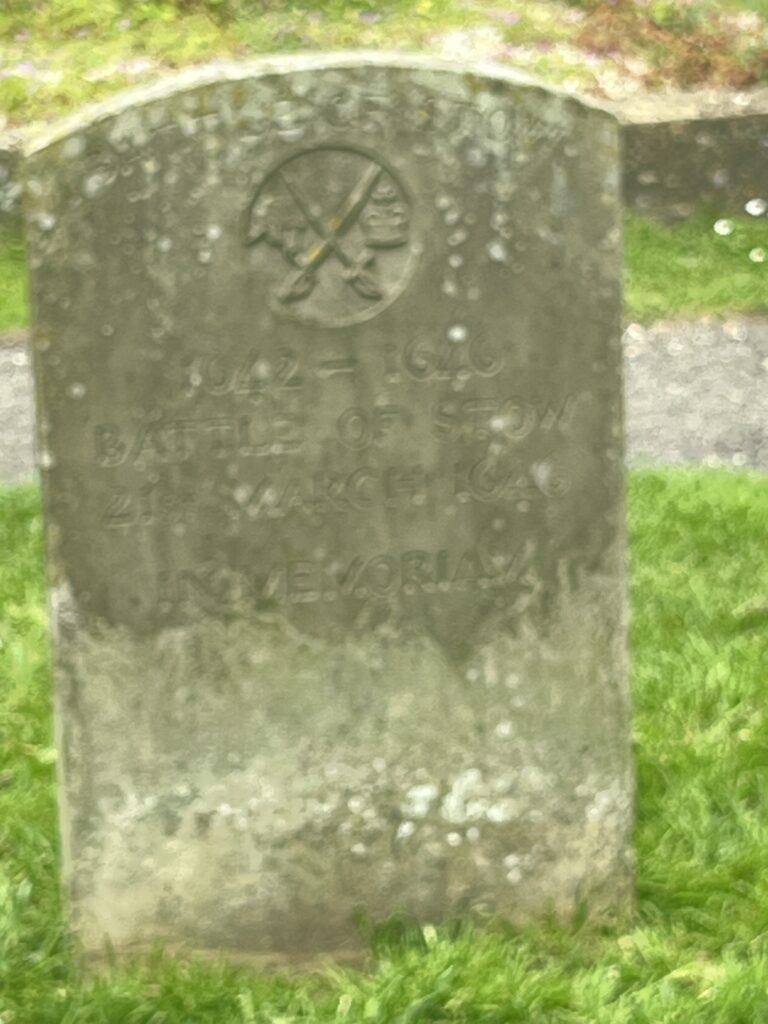
Stow played a role in the English Civil War. A number of engagements took place in the area, the local church of St Edward being damaged in one skirmish. On 21 March 1646, the Royalists, commanded by Sir Jacob Astley, were defeated at the Battle of Stow-on-the-Wold, with hundreds of prisoners being confined for some time in St Edwards. This battle took place one mile north of Stow-on-the-Wold. After initial royalist success, the superiority of the parliamentary forces overwhelmed and routed the royalist forces. Fleeing the field, the royalists fought a running fight back into the streets of Stow, where the final action took place, culminating in surrender in the market square.
The Battle of Stow-on-the-Wold
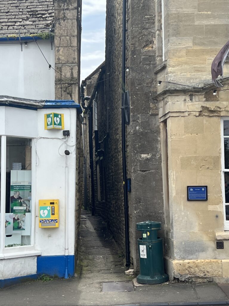
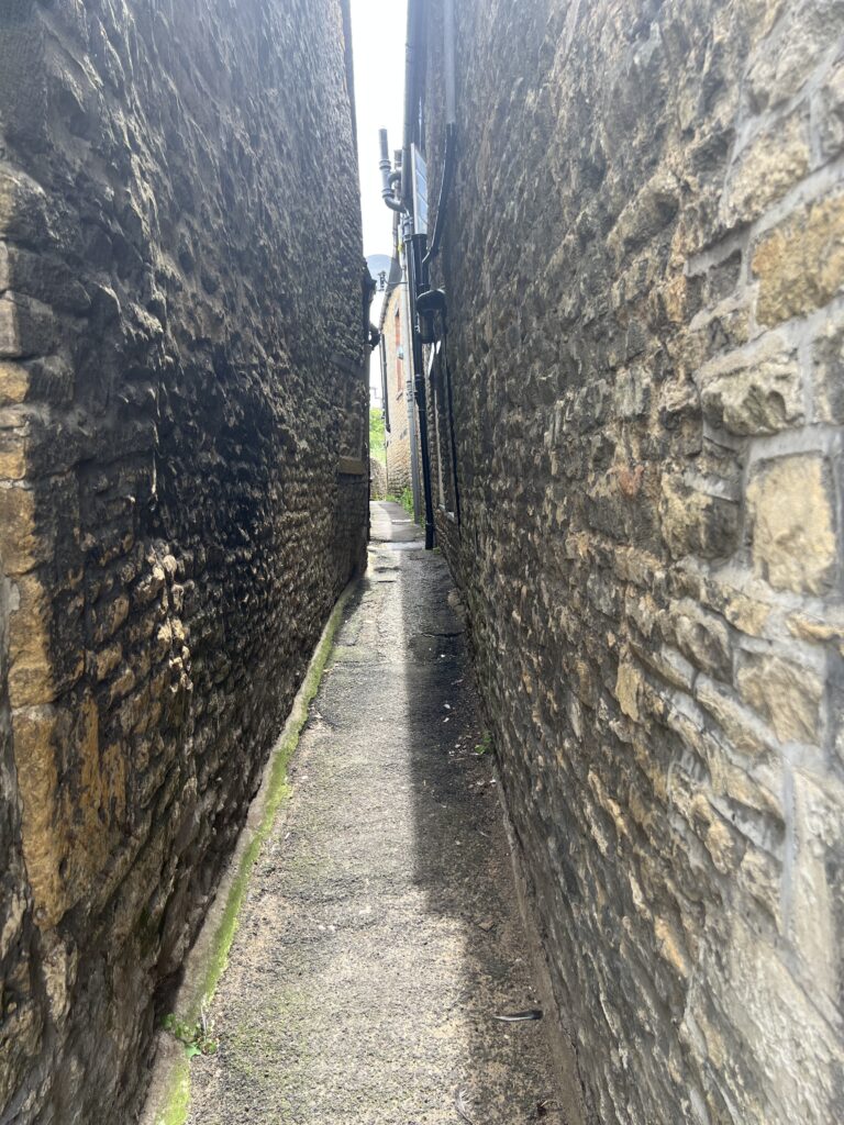
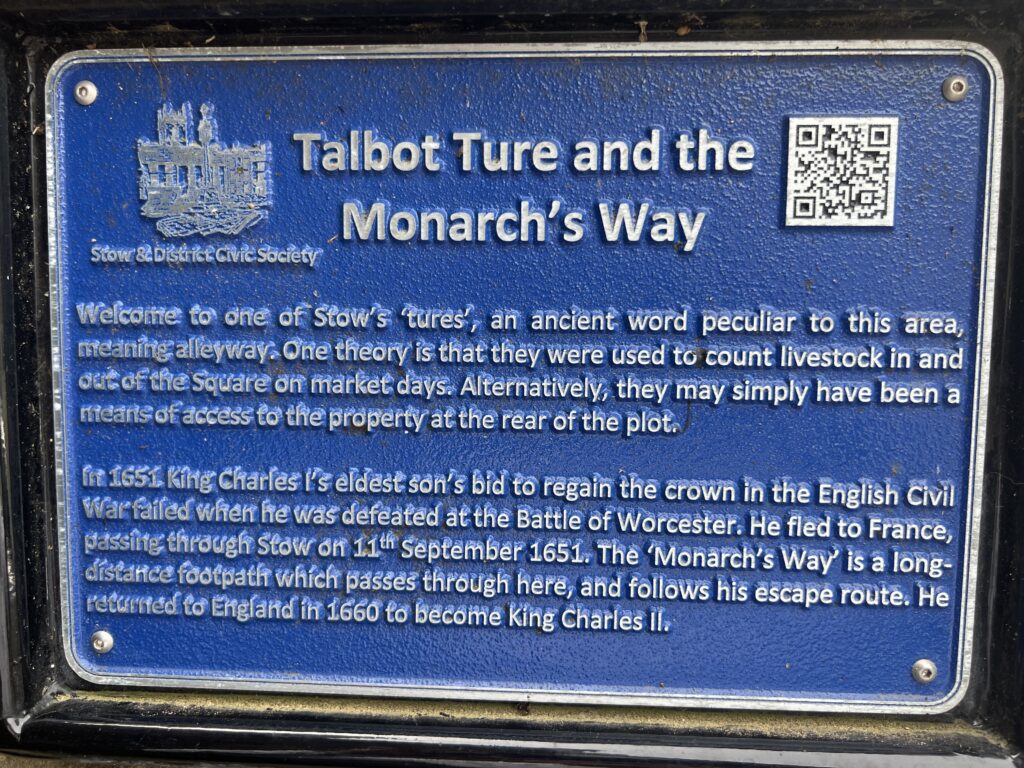
This small alleyway is interesting. It looks like a small alleyway, but it was built this way for a specific reason. Sheep used to pass through this alleyway, and it was easier to count the sheep as they could only pass one at a time.
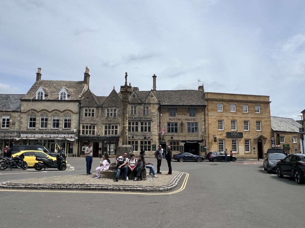
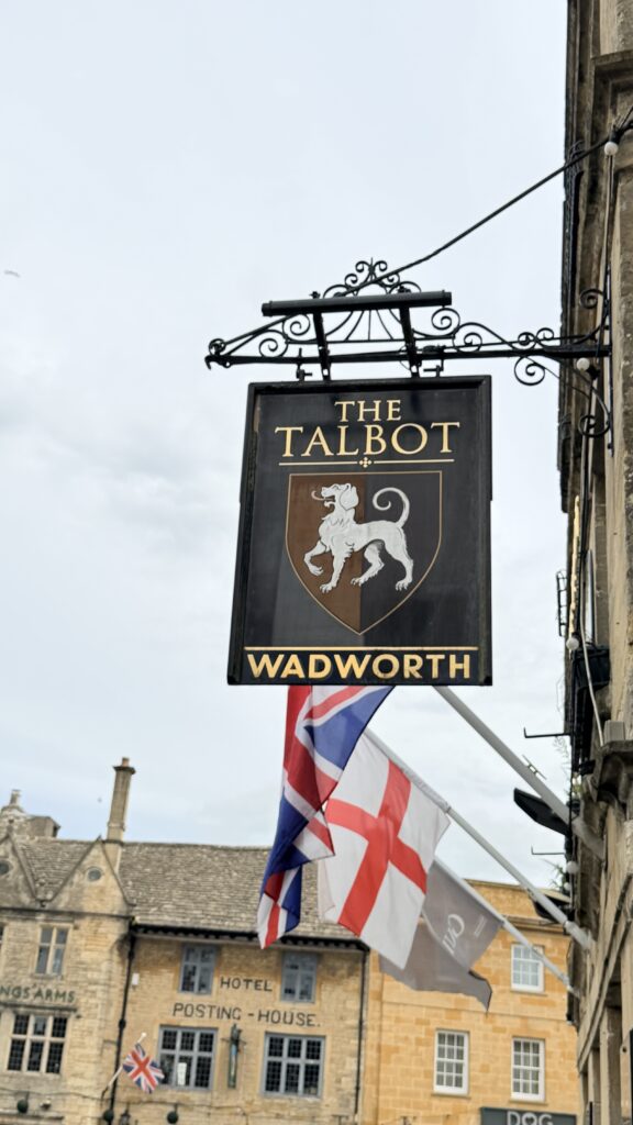
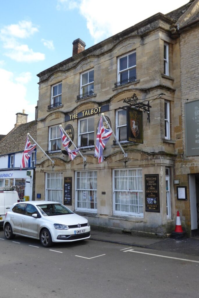
The Talbot, formerly known as The Talbot Hotel, is a public house in the Market Square in Stow-on-the-Wold, Gloucestershire, England. The structure, which was originally a coaching inn and later served as the local corn exchange as well as the main hotel in the town, is a Grade II listed building.
The Talbot was originally conceived as a coaching inn with stables in the street behind. It was designed in the vernacular style, built in rubble masonry in around 1714. In the 1840s, the building began to serve as the local corn exchange and, at that time, the left-hand section of three bays was refaced in ashlar stone such that it slightly projected forward onto the Market Square. The new façade was fenestrated with sash windows on all three floors with hood moulds above each window and a parapet at roof level. Meanwhile, the right-hand section of two bays remained faced in rubble masonry with more basic finishes.
A brass letter box was installed between the windows on the ground floor to enable corn merchants to post their weekly corn returns: these returns informed the weekly summary of local corn trades published in national newspapers. In the second half of the 18th century, the hotel proprietor was Richard Day and it was branded “Day’s Talbot Hotel”.
The use of the building as a corn exchange declined significantly in the wake of the Great Depression of British Agriculture in the late 19th century. However, the building continued to provide lodging for customers and to serve as a regular meeting place for local farmers, and for the local masonic lodge. An extensive program of repairs was carried out, following a serious fire in the building in February 1870.
The hotel was acquired by Hitchman’s Brewery of Chipping Norton in the late 19th century, before passing to Hunt Edmunds Brewery of Banbury in 1925. It came into the ownership of Bass Charrington in the 1960s, by which time it was the largest hotel in the town. It was subsequently acquired by Wadworths of Devizes in 1985
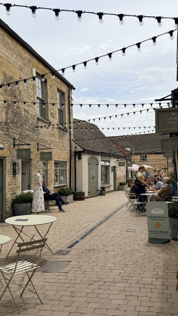
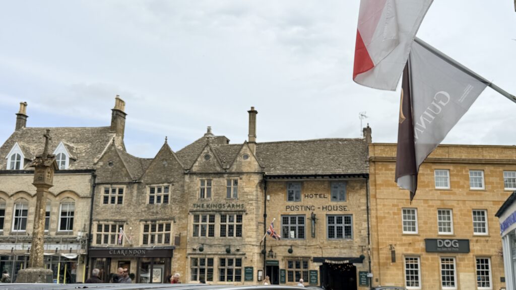
Posting House Barn is a charming, grade II listed 17th-century holiday cottage located just off Market Square in Stow-on-the-Wold, Gloucestershire. It is part of The Wold Collection, sleeps up to six guests across three floors, and features original exposed Cotswold stone walls, oak beams, and a private cottage garden.
The property’s name hints at its historic roots in the area’s coaching and postal history. Historically, the nearby landmark buildings like The King’s Arms served as major “Post Houses” for 4-horse stagecoaches traveling between London and Worcester.
The opened doors under the word HOUSE is where the horses would be stabled under the hotel
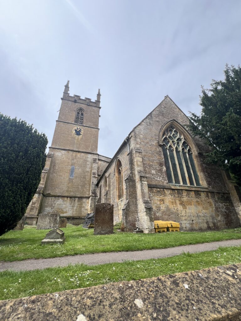
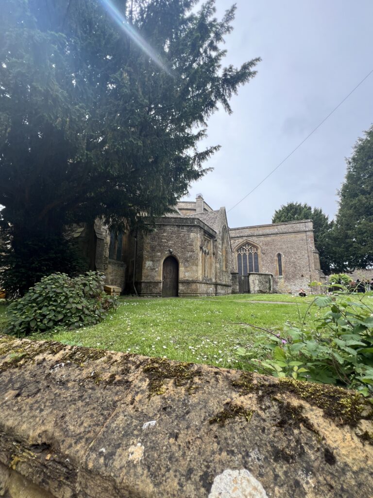
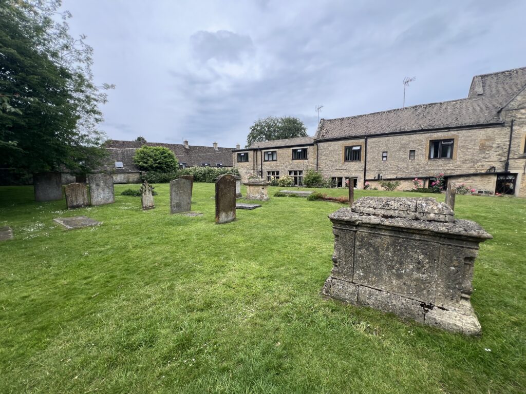
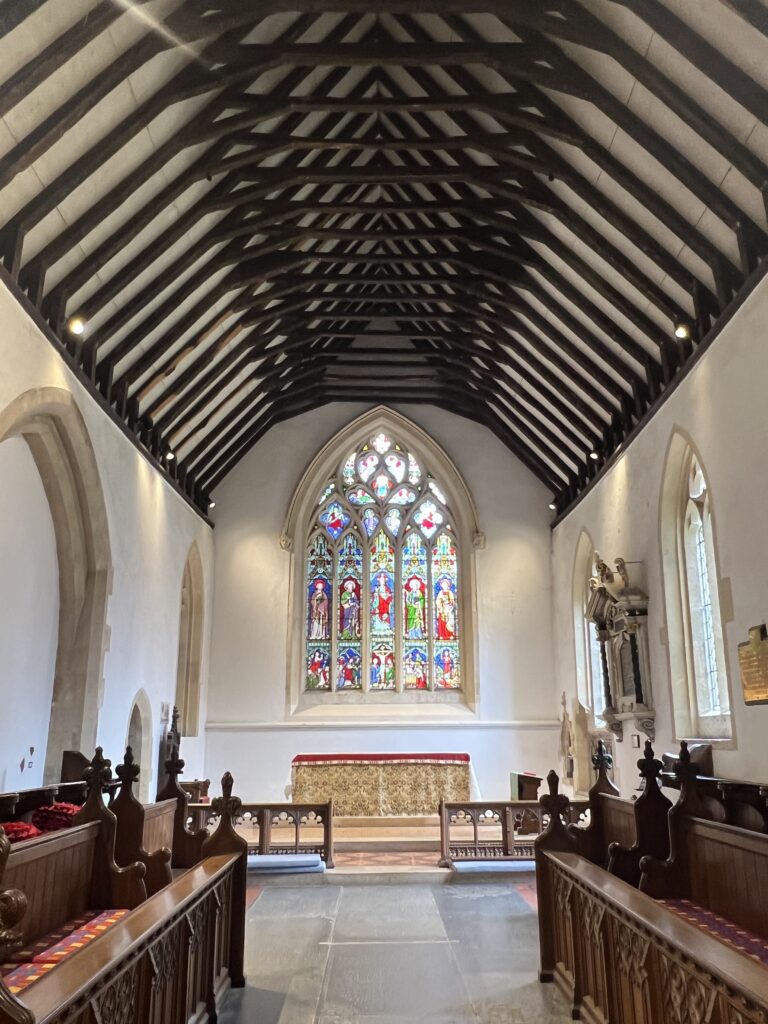
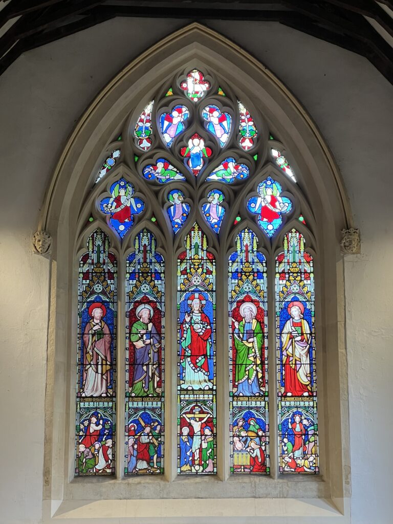
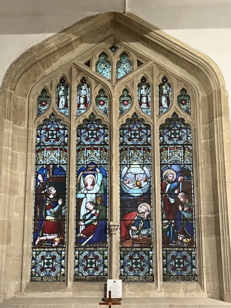
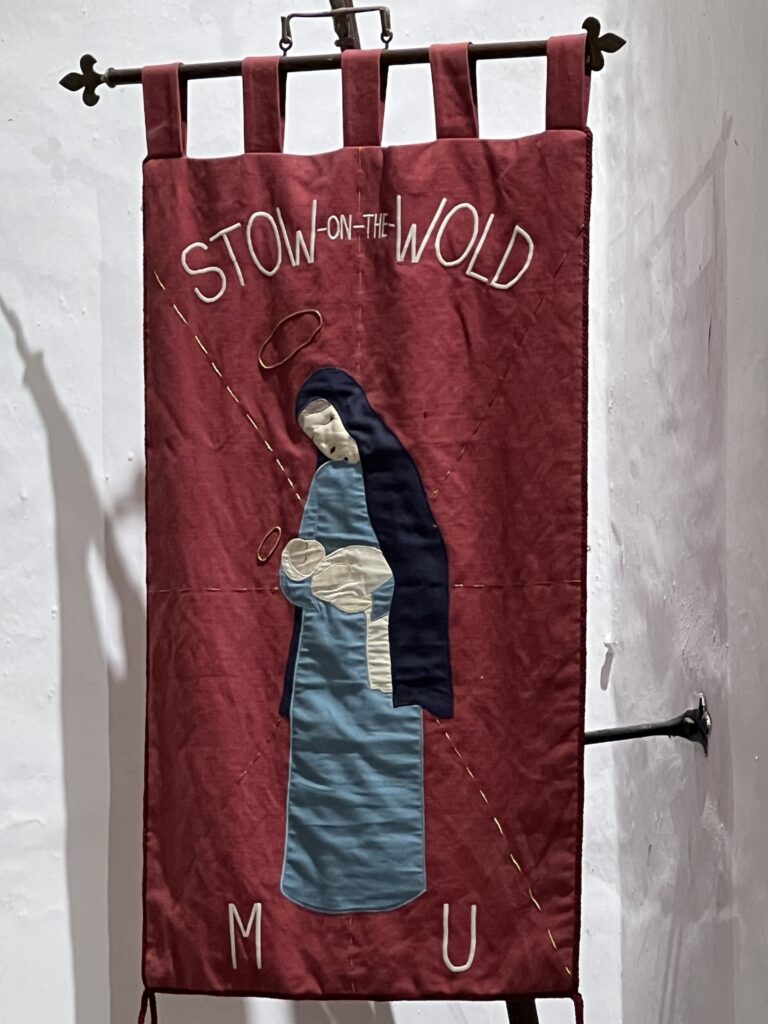
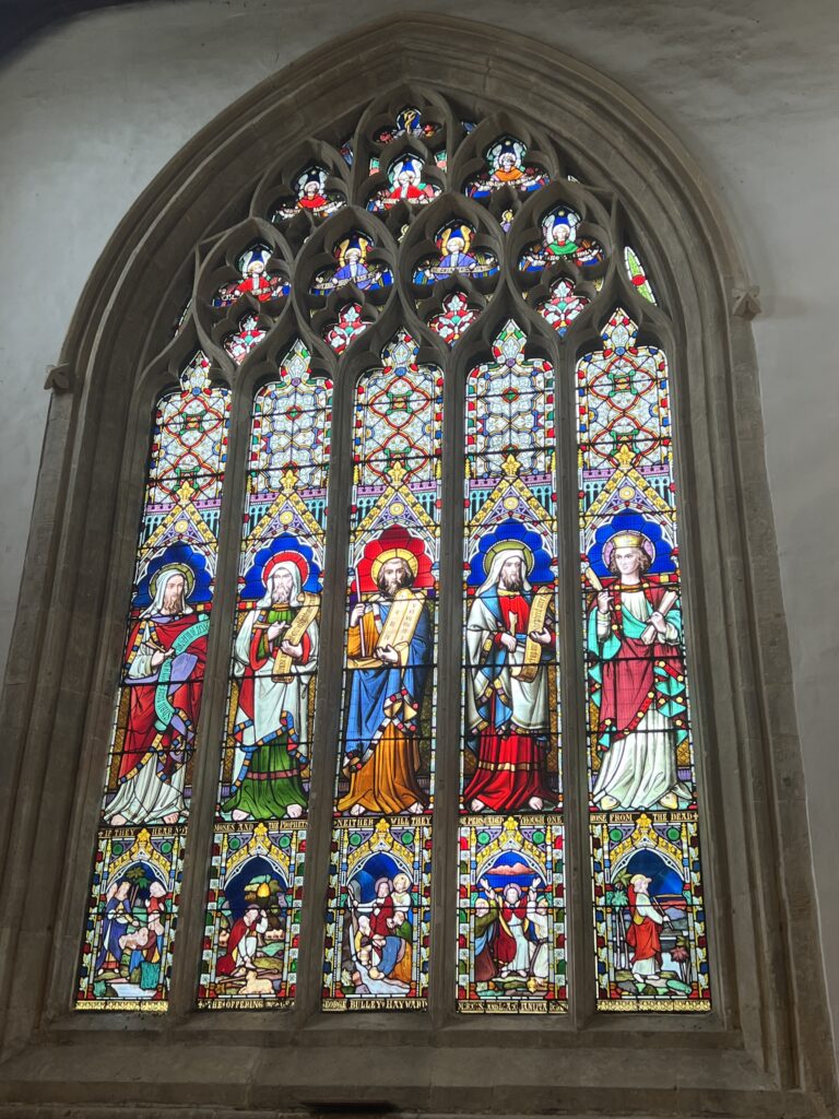
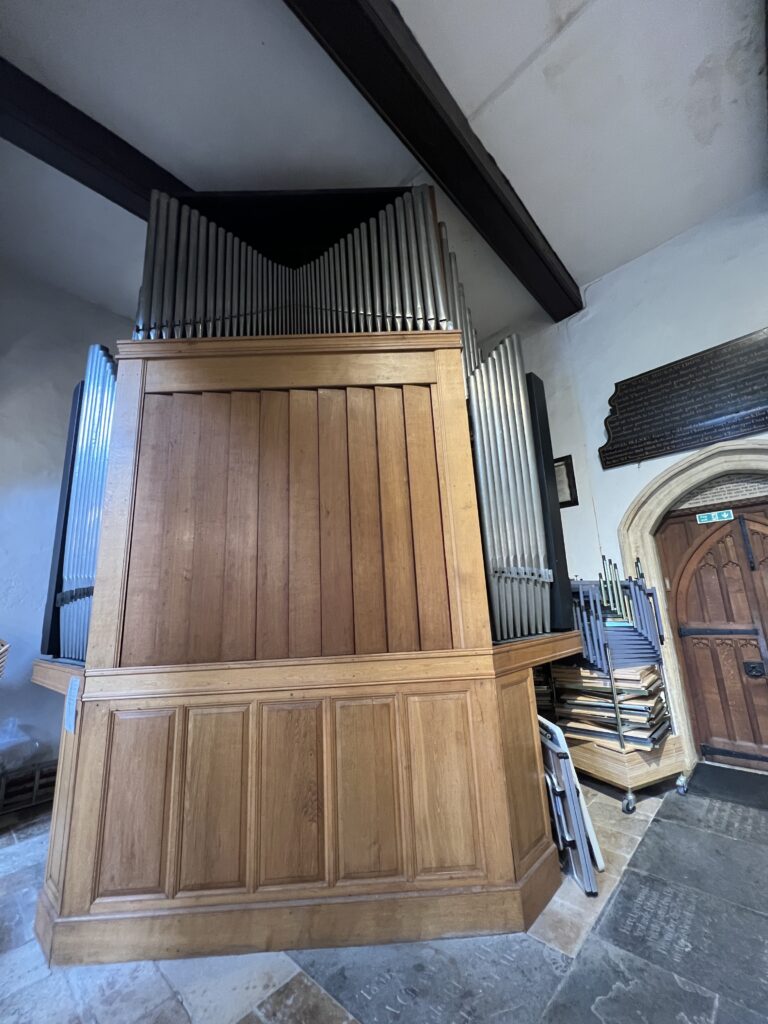
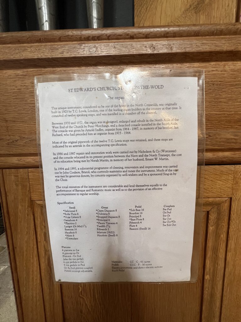
St Edward’s Church is a medieval-built Church of England parish church, serving Stow-on-the-Wold (‘Stow’), Gloucestershire.
A tourist attraction, it is among 98 Grade I listed buildings in Cotswold (district), a mainly rural district having about one third of the total of Grade I listed buildings in Gloucestershire. The surrounding district, due to many factors such as the Cotswold Hills and distance from major cities, has a concentration of conservation areas featuring neatly cut blocks and masonry of Cotswold stone which is borne out by the building materials of the church’s square-towered, multi-arch structure. Its large stained glass windows, buttresses and neatly kept churchyard are among the reasons for its listing in the highest architectural category.
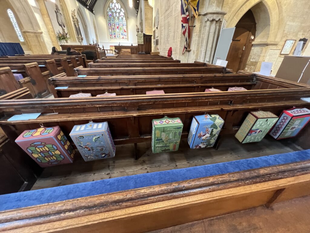
Be sure to look at the last photo of this church section and see if you can recognize the item in the photo.
The funeral of the Who‘s bass player, John Entwistle, took place at the church in 2002. Entwistle lived at Quarwood, a country estate in the civil (and ecclesiastical) parishes of Stow. Many mourners attended the private church service conducted by family friend Rev. Colin Wilson. The service was broadcast through a PA system to fans who had gathered outside.
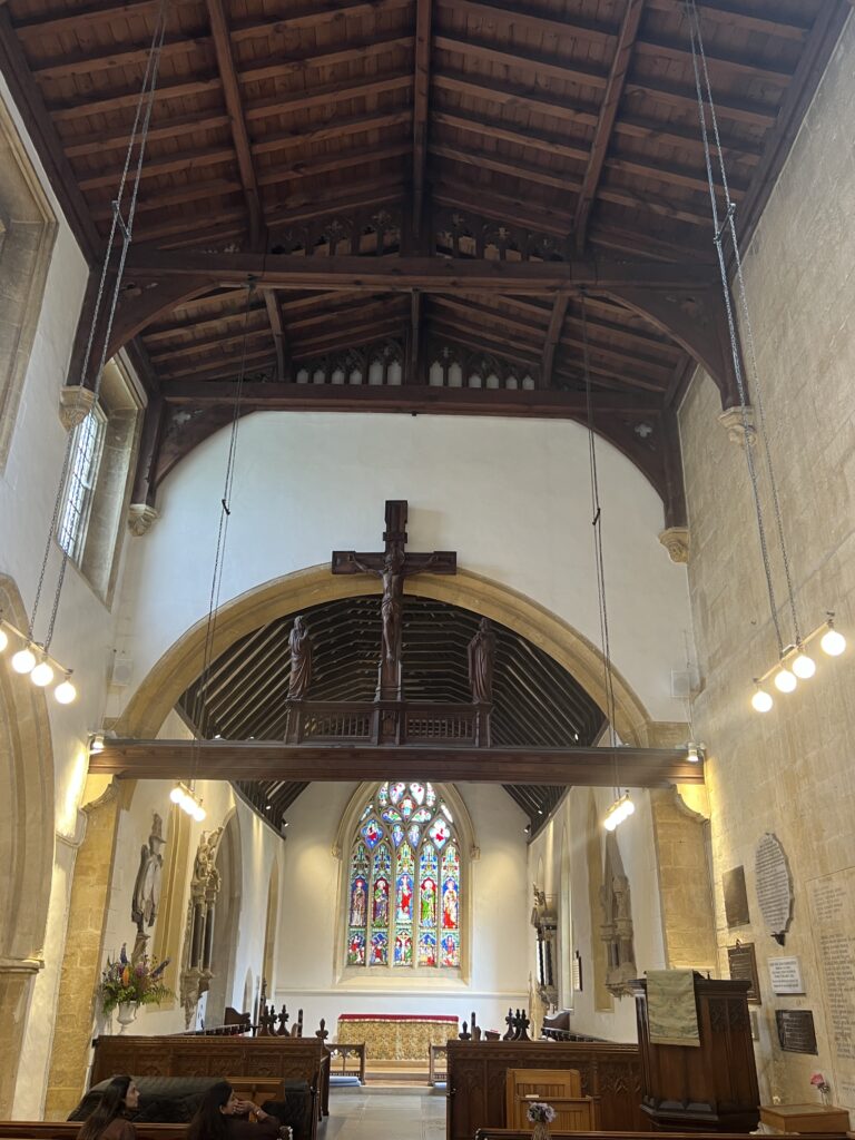
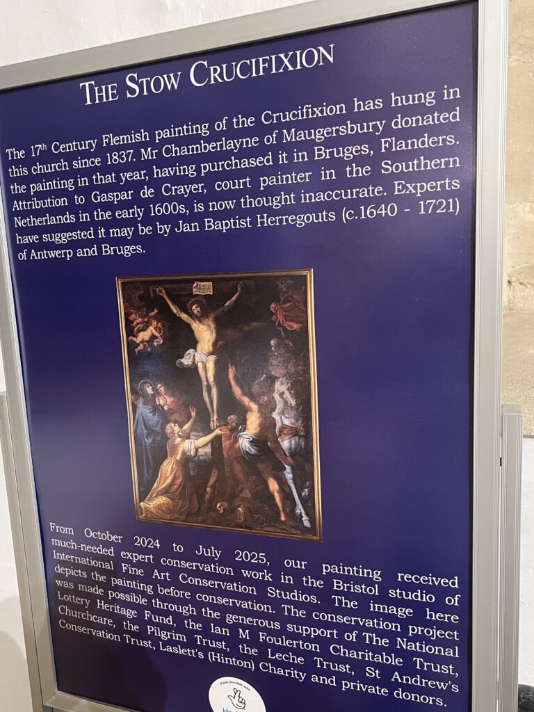
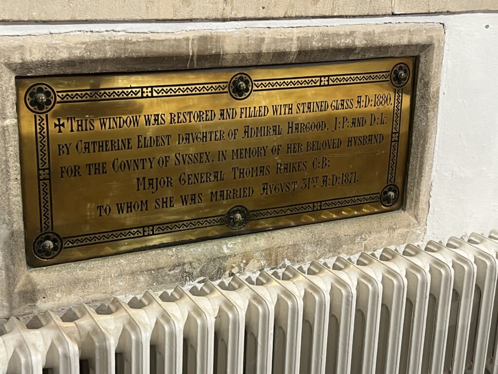
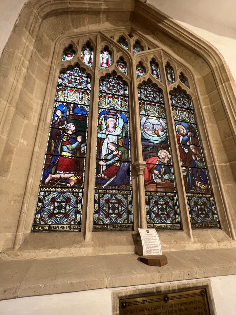
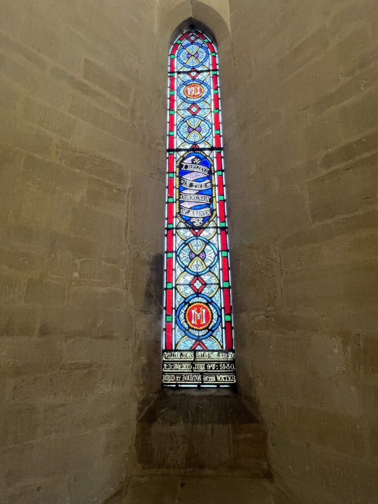
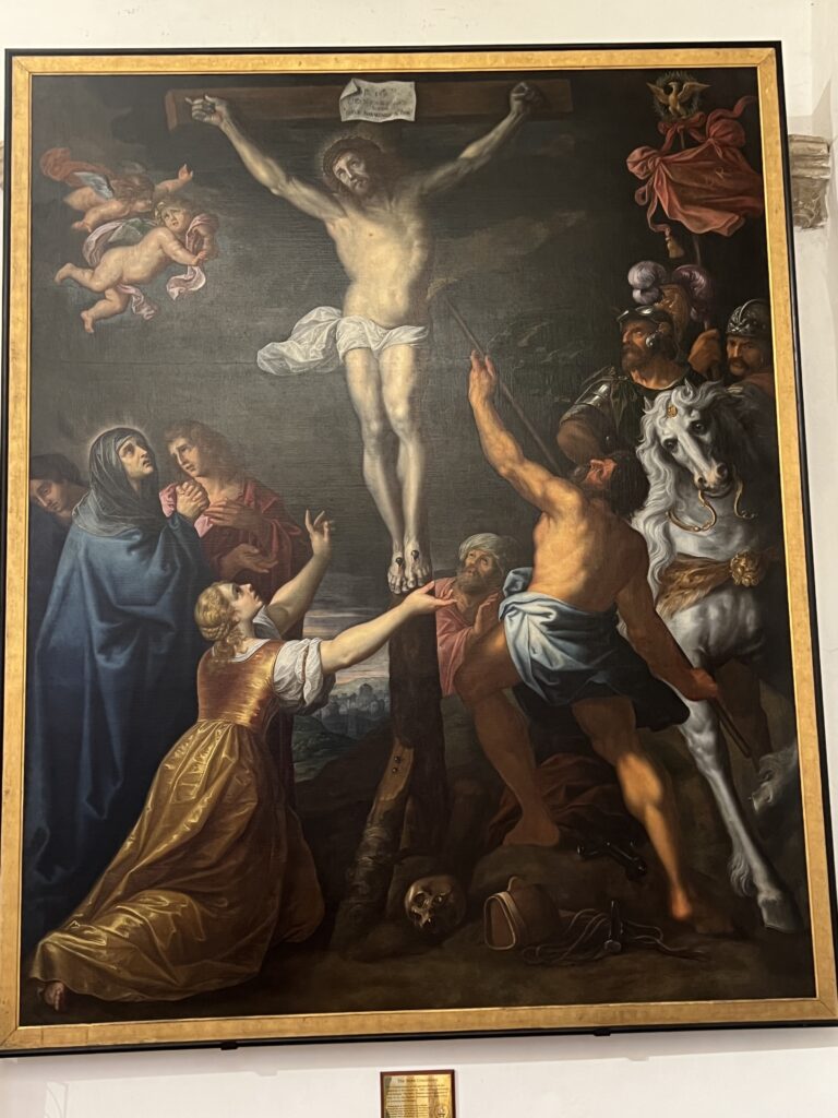
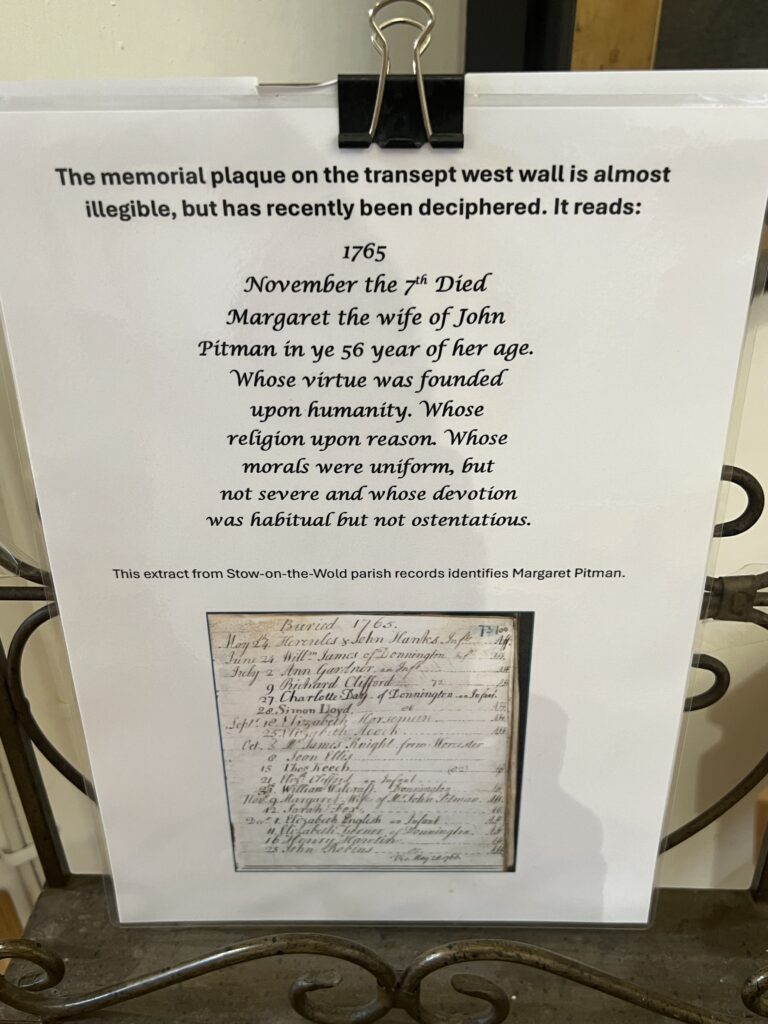
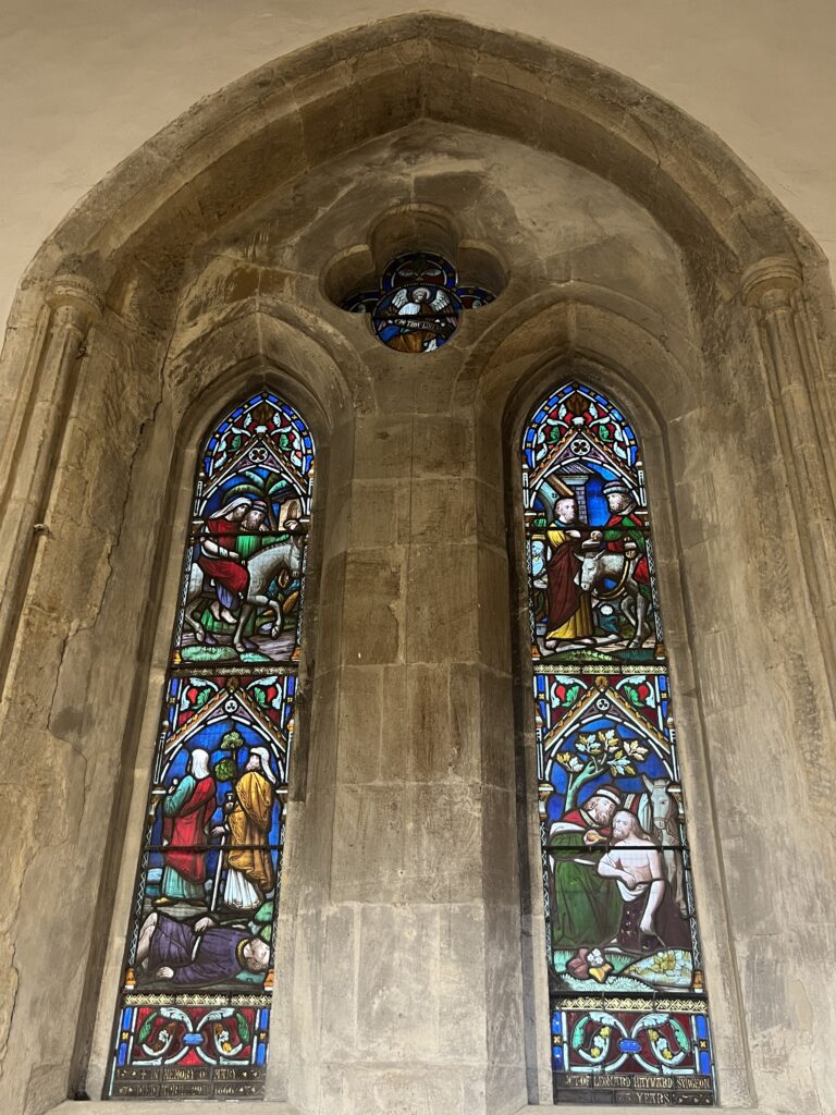
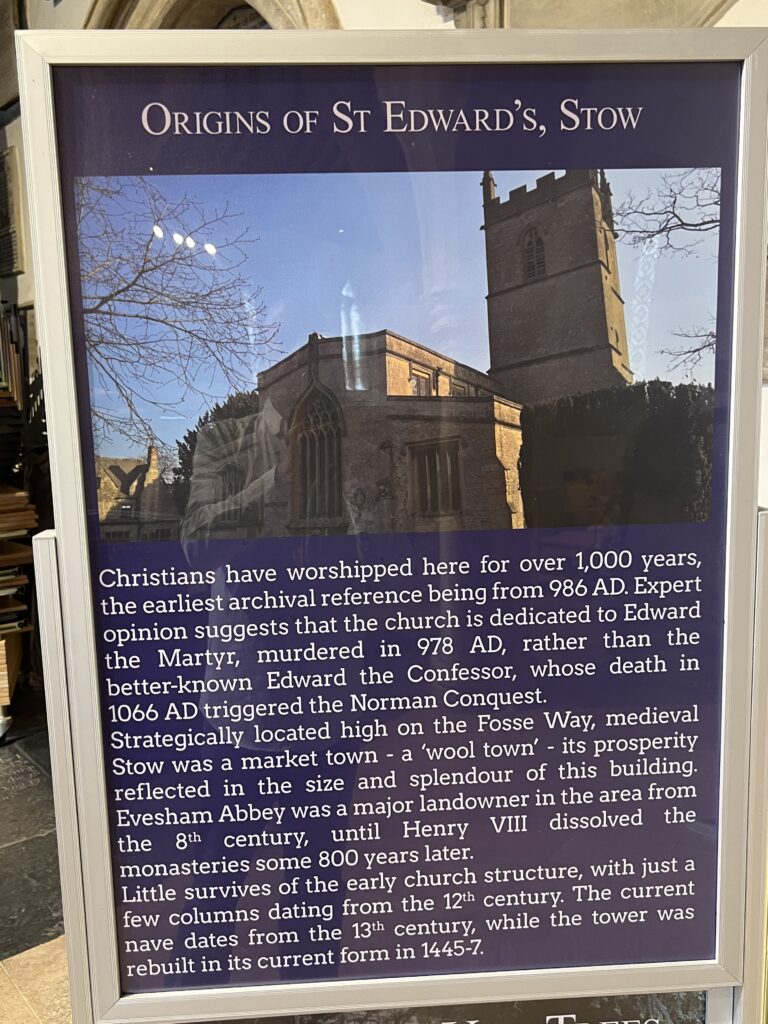
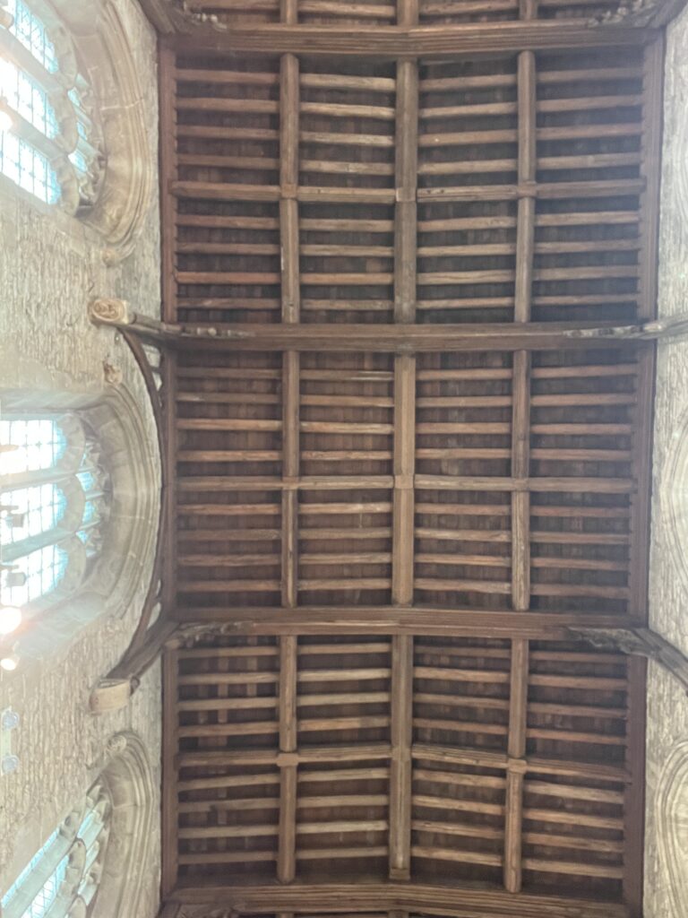
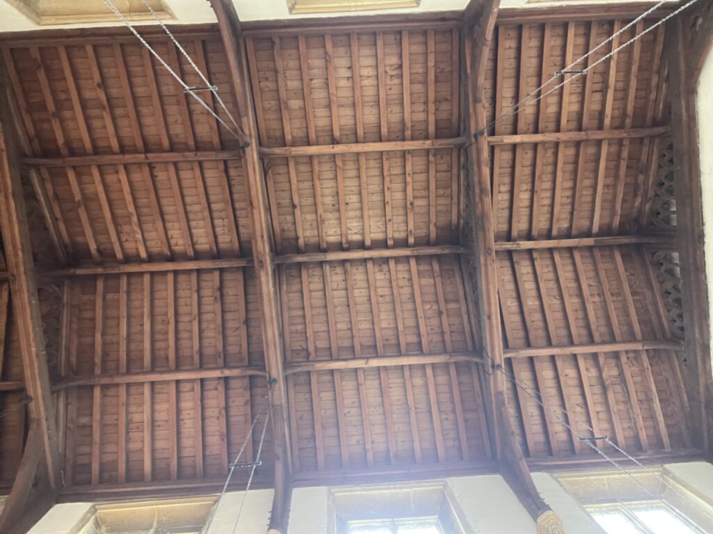
Ceiling of the church
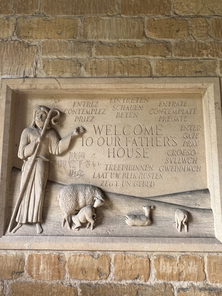
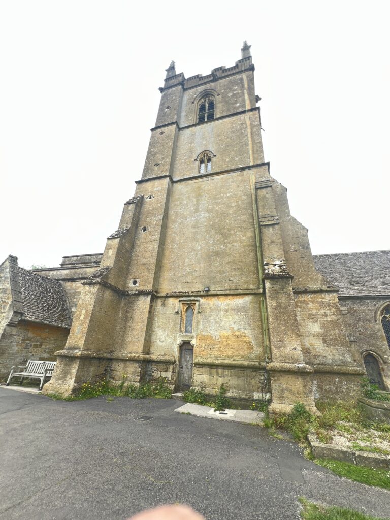
The Battle of Stow memorial at St Edward’s Church
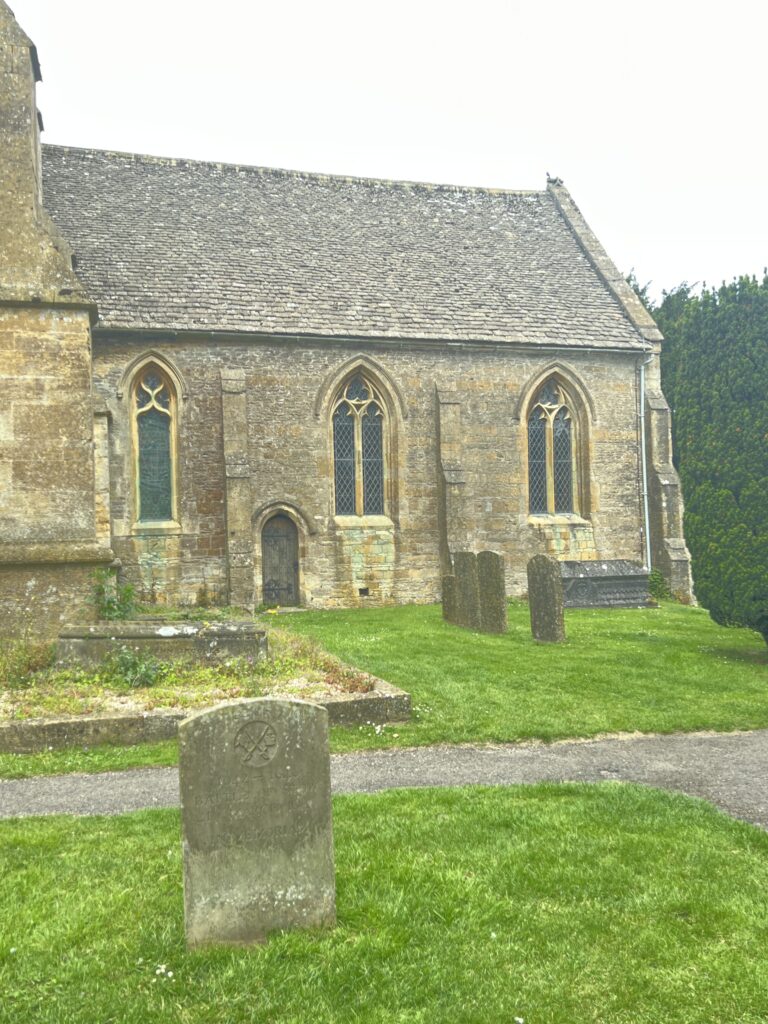
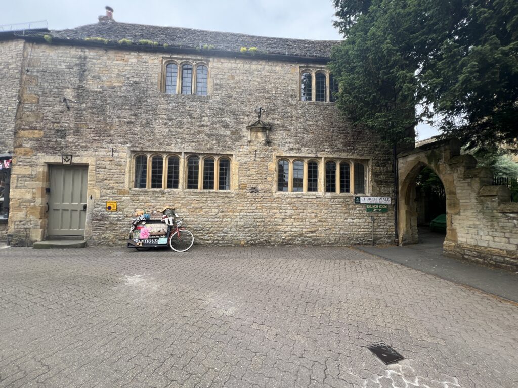
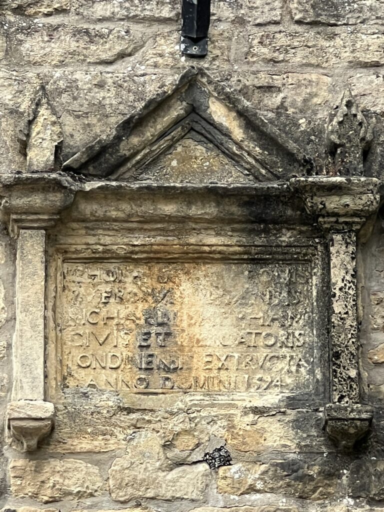
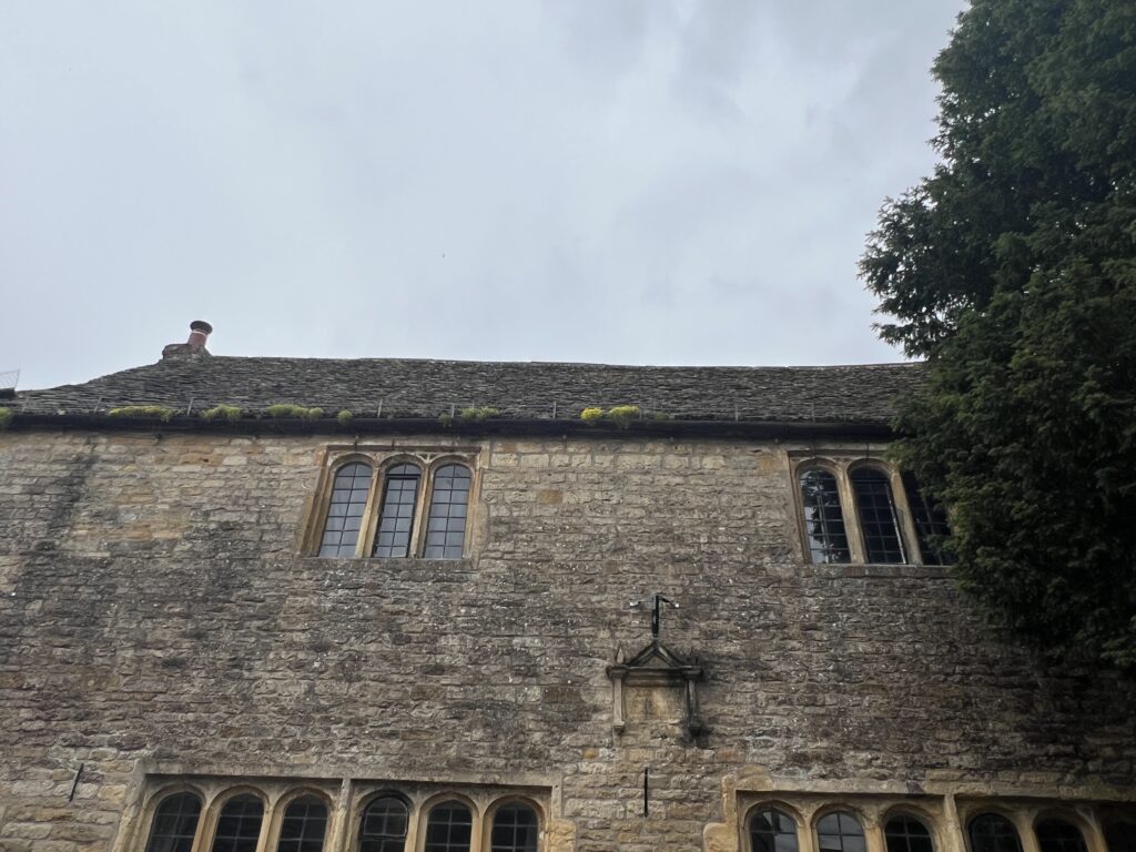
St Edward’s Parish Church north door flanked by yew trees.
The church is beautiful, as most Cotswold churches are, but the answer lies on the north porch of the building, which shelters a remarkable wooden door, a portal that seems plucked straight from a fairy tale, and a source of persistent local legend: it is said to have inspired J.R.R. Tolkien’s Doors of Durin, the enigmatic west gate of Moria in The Lord of the Rings.
The door is an impressive sight, crafted from dark, aged wood, its studded panels evoking a sense of ancient mystery. An old lamp casts a dim glow above, adding to the ethereal atmosphere. Its diminutive size fuels the fanciful notion that only a hobbit could pass through.
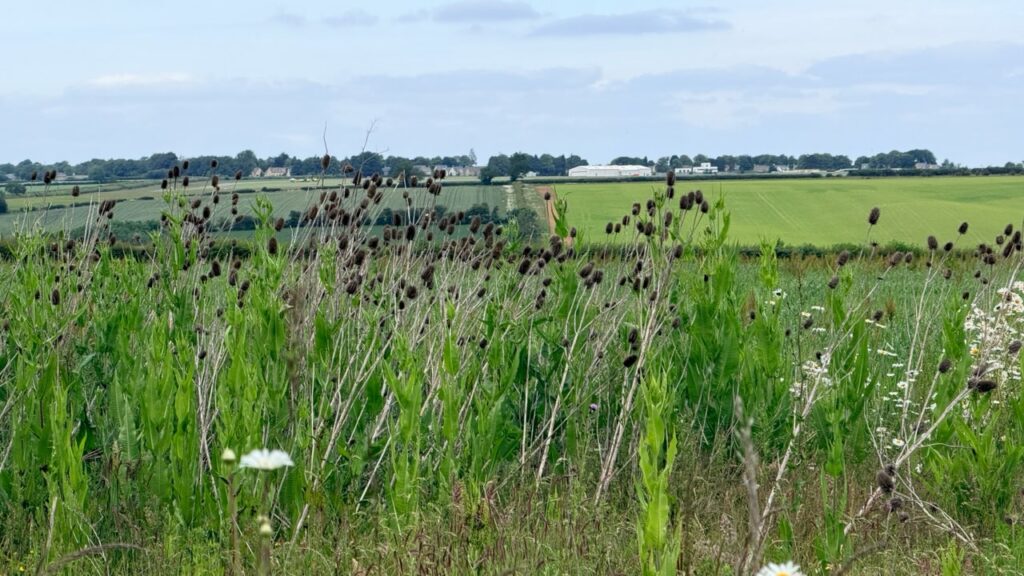
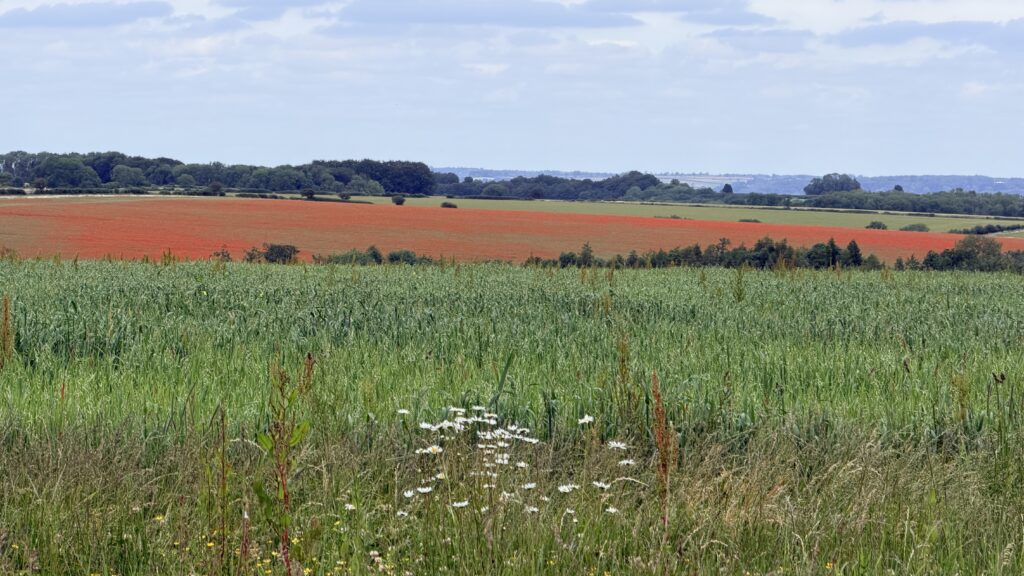
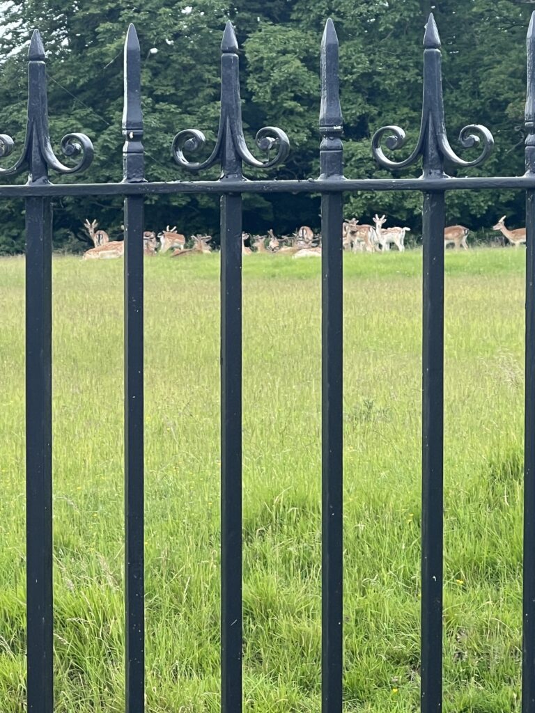
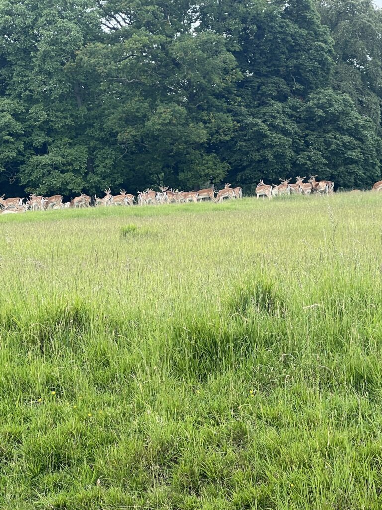
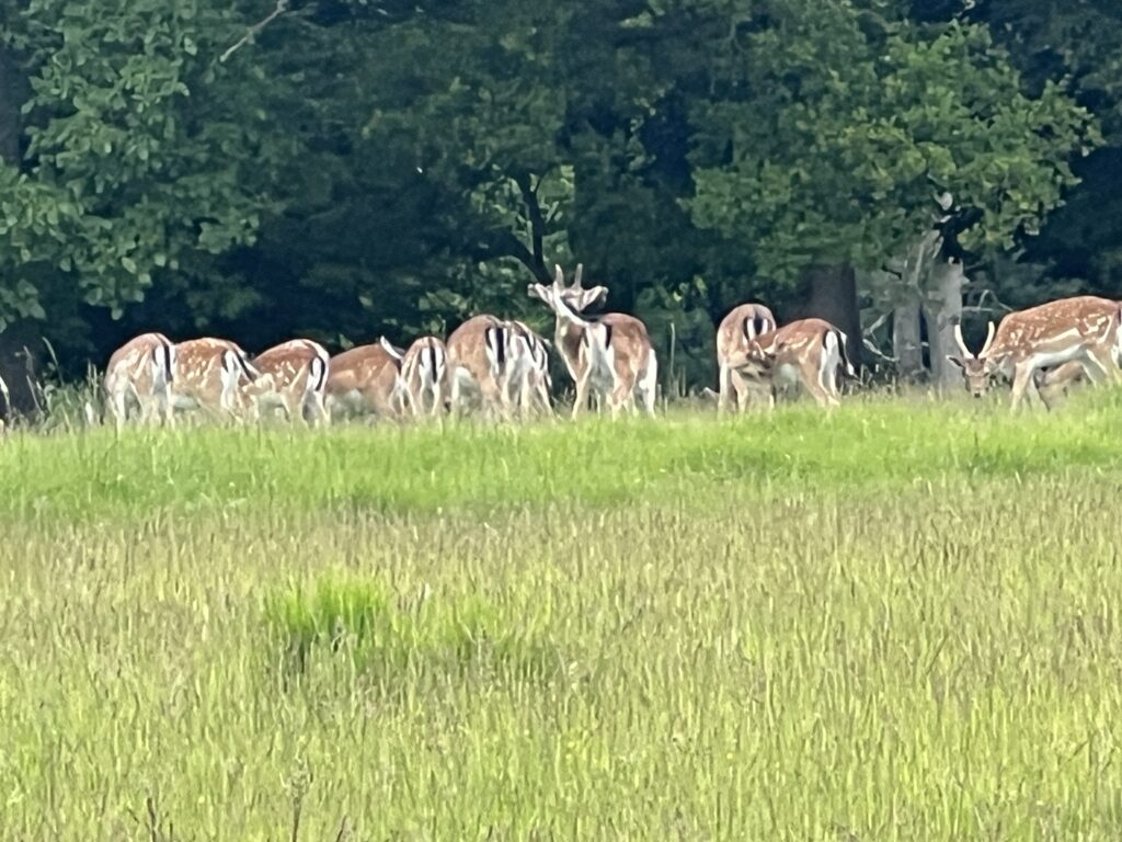
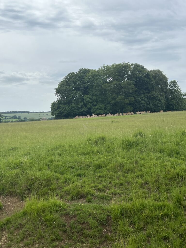
Driving through Burford – Great Barrington, we came across these two fields with beautiful flowers and deer
Great Barrington is a village and former civil parish, now in the parish of Barrington, in the Cotswold district of Gloucestershire, England. It lies in the north bank of the River Windrush, 3 miles (4.8 km) west of the town of Burford, Oxfordshire. In 1931 the parish had a population of 330.
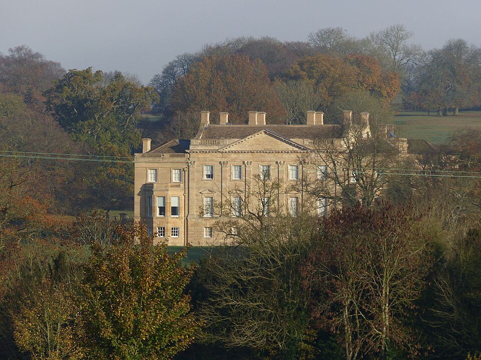
Barrington Park is a Palladian style country house standing in an estate of the same name near the villages of Great Barrington and Little Barrington, Gloucestershire, England. It is a Grade I listed building.
The house was built between 1736 and 1738 for Charles Talbot, Lord Chancellor to George II, for the use of his son William Talbot, 1st Earl Talbot and the latter’s wife Mary de Cardonnel. It was extended in 1870-3 by Edward Rhys Wingfield.
The building is constructed in two storys plus a basement of ashlar with a stone slate roof. It is rectangular in plan with the later extensions at both ends. The frontage has 9 bays of which the central 3 bays project.
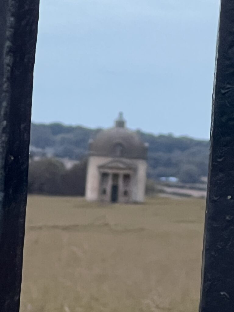
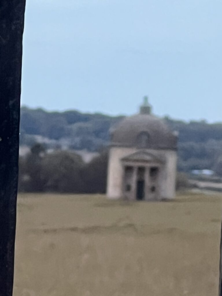
A folly is a costly, non-functional building constructed primarily for decoration or to enhance a natural landscape. Ranging from faux crumbling castles and classical temples to Gothic towers, they were originally designed to spark curiosity, showcase wealth, and create dramatic focal points in grand estate gardens.
The term stems from the French word folie, meaning “foolishness” or “delight”. While they appear to serve a purpose (such as a lookout or a rustic hermitage), they lack utilitarian function.
Key Characteristics & History
- Visual Drama: Follies were meant to be admired from afar or discovered while strolling through a designed landscape.
- Historical Origins: The trend peaked in 18th- and 19th-century Europe, particularly in England, where aristocrats wanted to recreate the romantic atmosphere of classical or medieval ruins on their properties.
- Symbolism: Beyond looking beautiful, they often acted as status symbols, conversation starters, or political and intellectual statements.
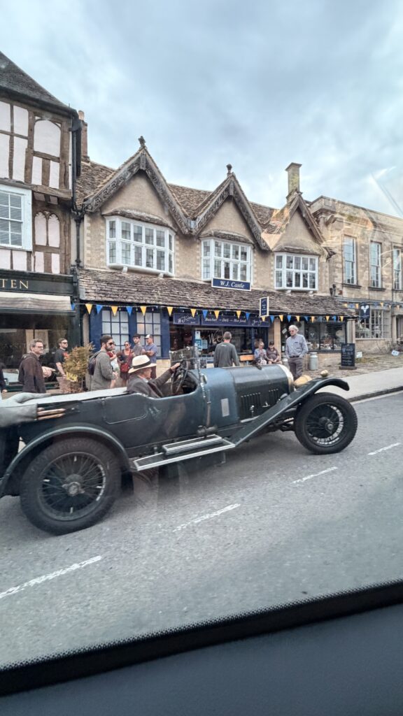
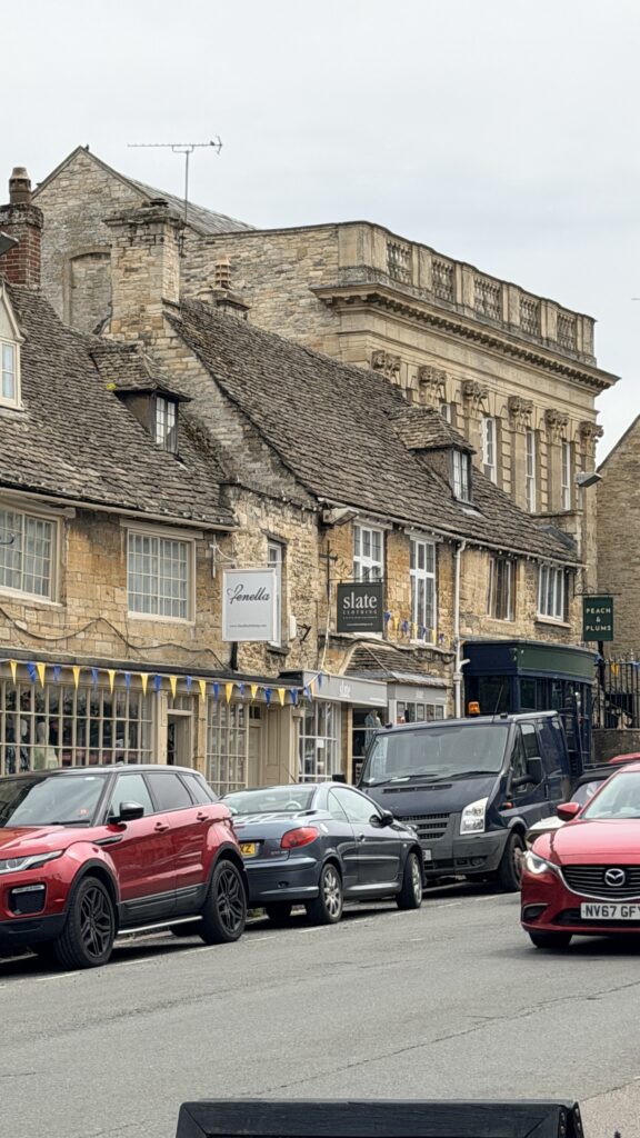
Burford (/ˈbɜːrfərd/) is a town on the River Windrush, in the Cotswold hills, in the West Oxfordshire district of Oxfordshire, England. It is often referred to as the ‘gateway’ to the Cotswolds. Burford is located 18 miles (29 km) west of Oxford and 22 miles (35 km) southeast of Cheltenham, about 2 miles (3 km) from the Gloucestershire boundary. The toponym derives from the Old English words burh meaning fortified town or hilltown and ford, the crossing of a river. The 2011 Census recorded the population of Burford parish as 1,422
Burford is a historic medieval town in Oxfordshire, England, widely known as the “gateway” to the Cotswolds. Situated on the River Windrush, it features Tudor architecture, antique shops, and local attractions like the Cotswold Wildlife Park and the Burford Tolsey Museum.
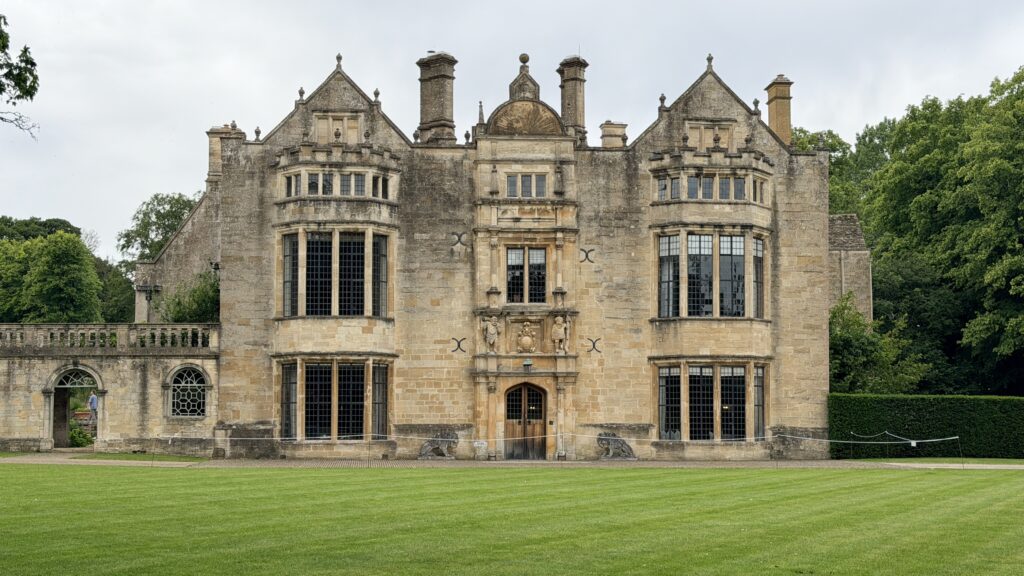
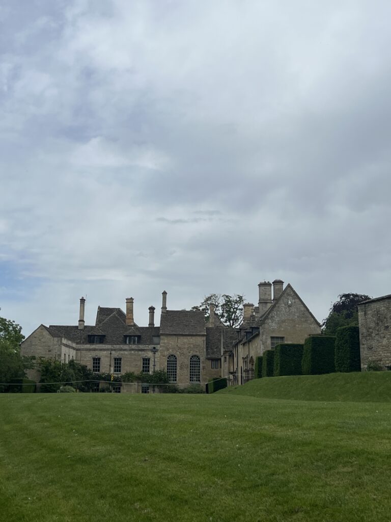
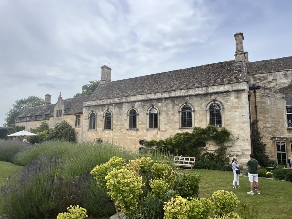
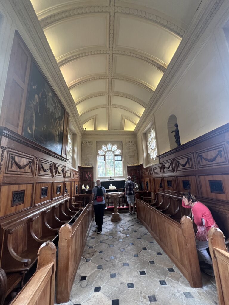
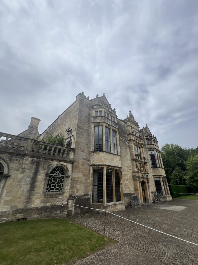
Burford Priory is a Grade I listed country house and former priory at Burford in West Oxfordshire, England owned by Elisabeth Murdoch, daughter of Rupert Murdoch, together with Matthew Freud, great grandson of Sigmund Freud.
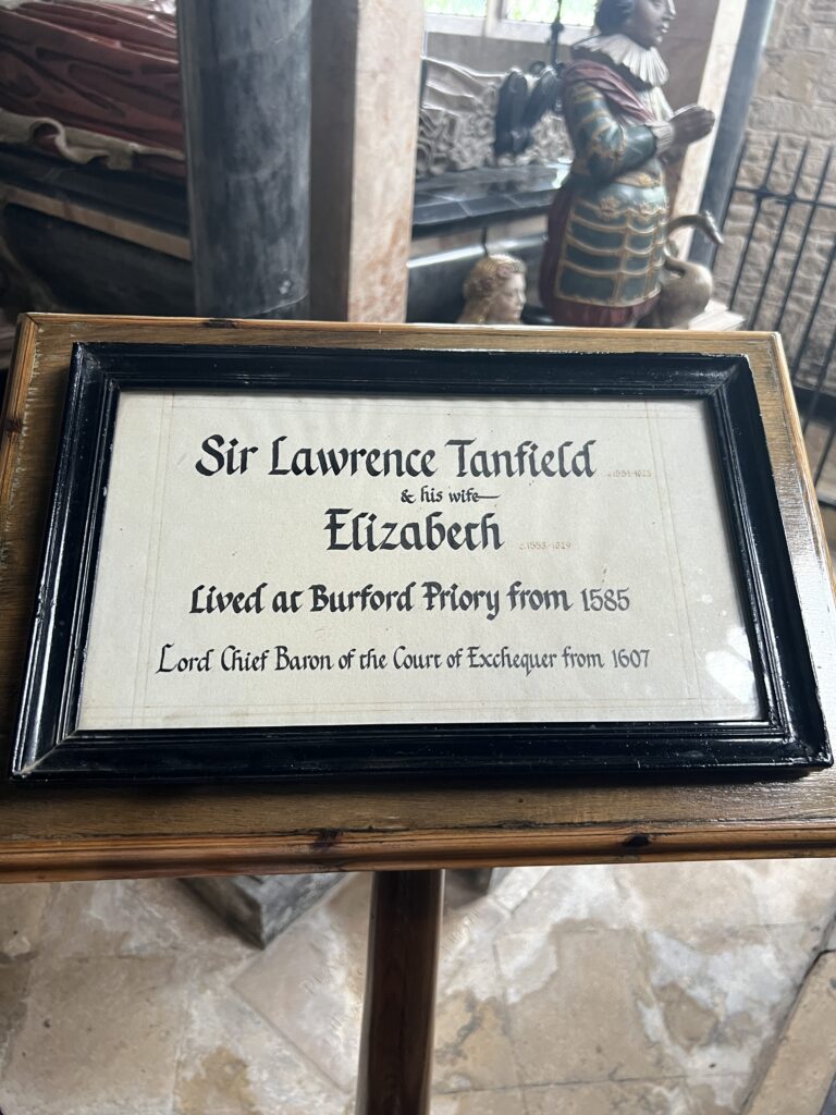
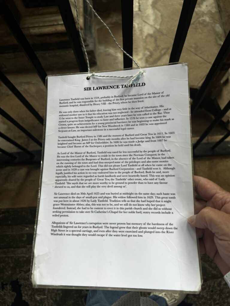
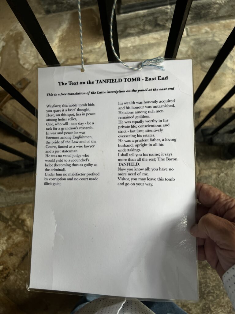
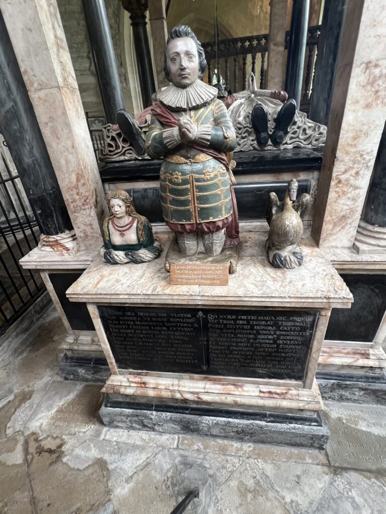
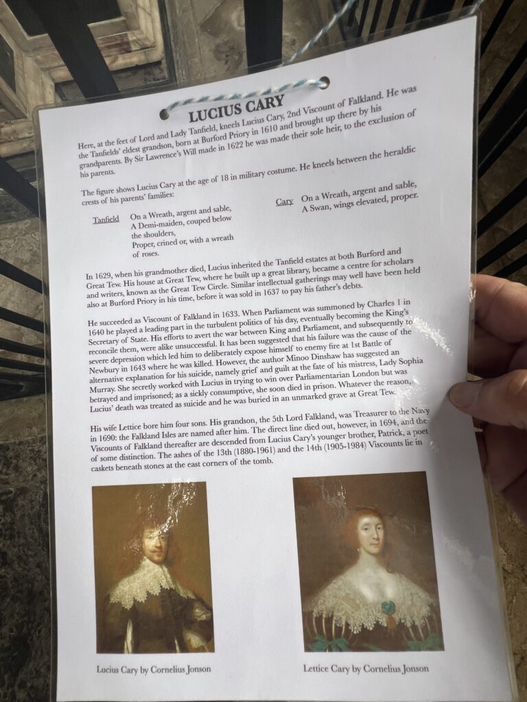
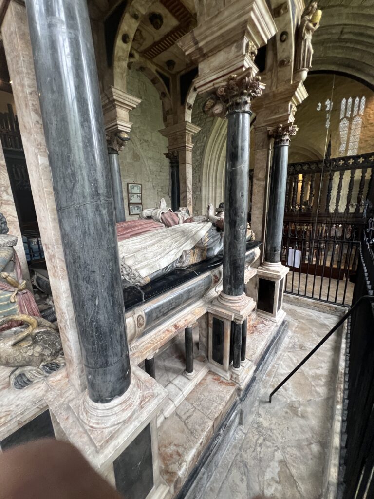
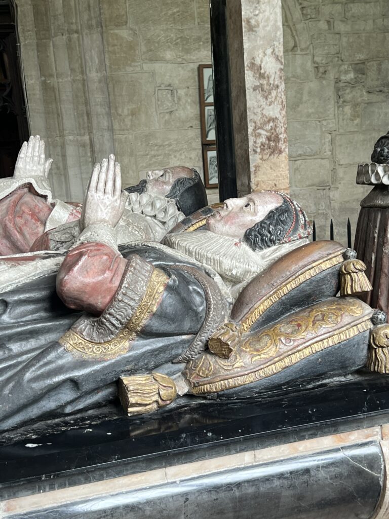
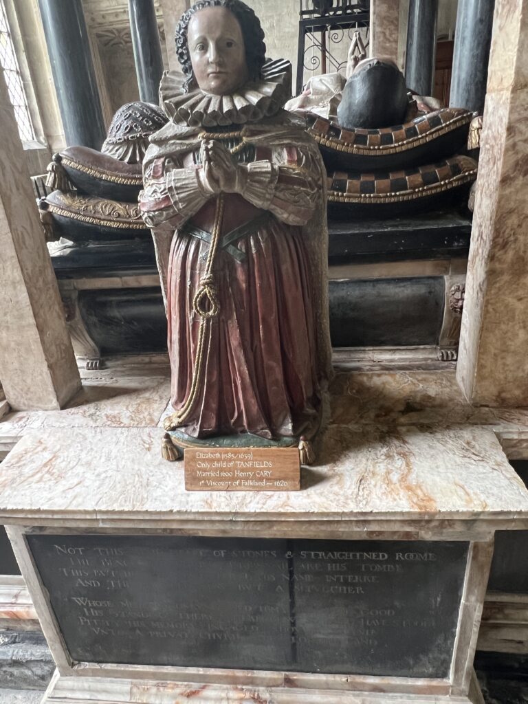
The house is on the site of a 13th-century Augustinian hospital. In the 1580s an Elizabethan house was built by Sir Lawrence Tanfield, incorporating remnants of the Priory Hospital. James I stayed at the priory for three nights in 1603. In the 17th century it was remodelled in Jacobean style, probably after 1634 when William Lenthall bought the estate from Tanfield’s grandson, the 2nd Viscount Falkland, who had inherited it from his grandfather. Lenthall was one of the overseers of Tanfield’s will and had married into his second wife’s family. It remained in the Lenthall family until 1828. The Lenthall pictures were housed here until the collection was largely sold in the nineteenth century. In 1828 the house and the Manor of Burford was purchased by the Greenaway family of Little Barrington, and their descendant Nicholas Greenaway Mills is the current Lord of the Manor.
Little brown monk
The site of the old monks’ graveyard is reportedly haunted by a small brown solemn-looking monk surrounded by an aura of sadness, who is said to pass through walls. The monk is often linked to the sound of bells which are reported coming from the old rectory at 2am, occasionally accompanied by the sound of chanting.
Gamekeeper
A second ghost reported on the grounds, particularly around the old vegetable garden, is that of an elderly gentleman in old-fashioned clothing carrying a flintlock or blunderbuss, who is seen late in the evenings during the month of October but vanishes if approached. The apparition has been linked by Puttick and Yurdan to a gamekeeper wrongly executed for the murder of a servant to William Lenthall (or Lord Abercomb) called John Prior (or Pryor). Puttick reports that the ghost has not been sighted since the nuns took up residence in 1949, and speculates that their prayers may have put it to rest.
Poltergeist
An unused room in the Priory is also reported to contain an active poltergeist, and a feeling of oppression.
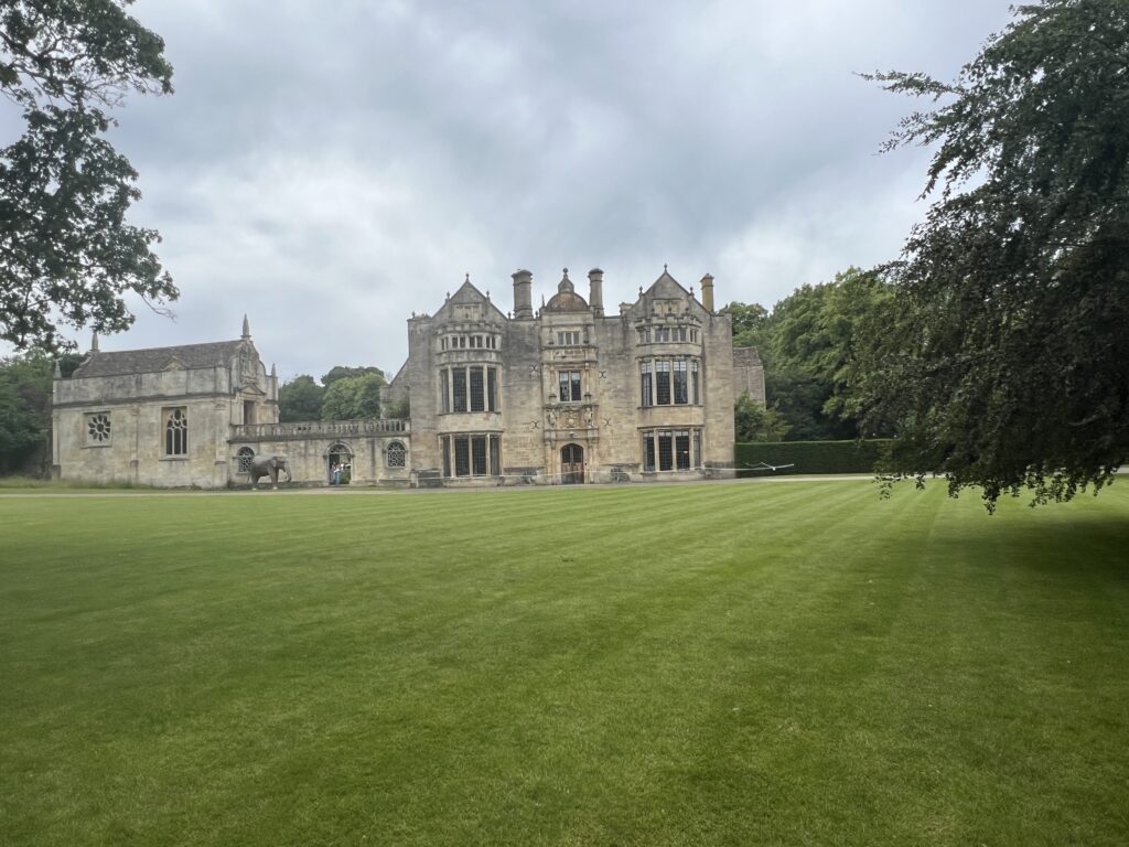
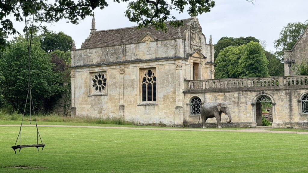
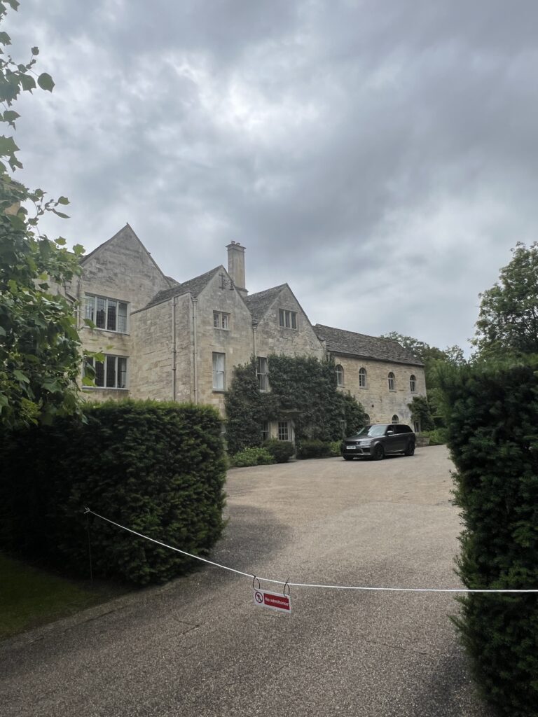
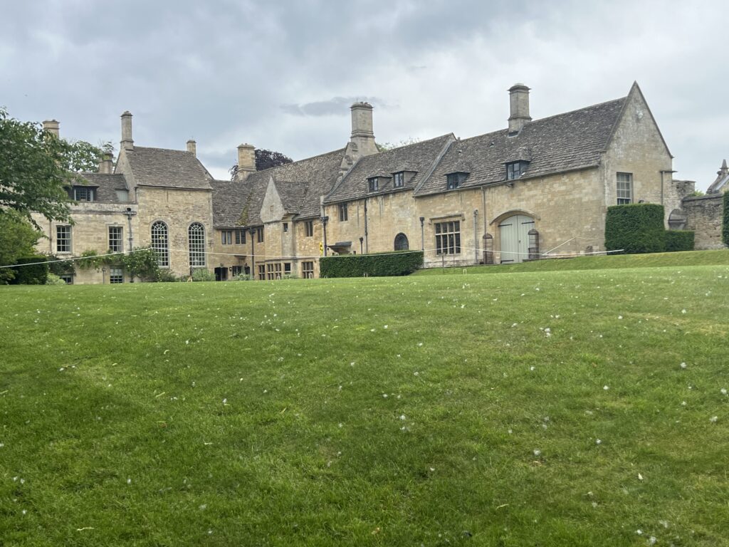
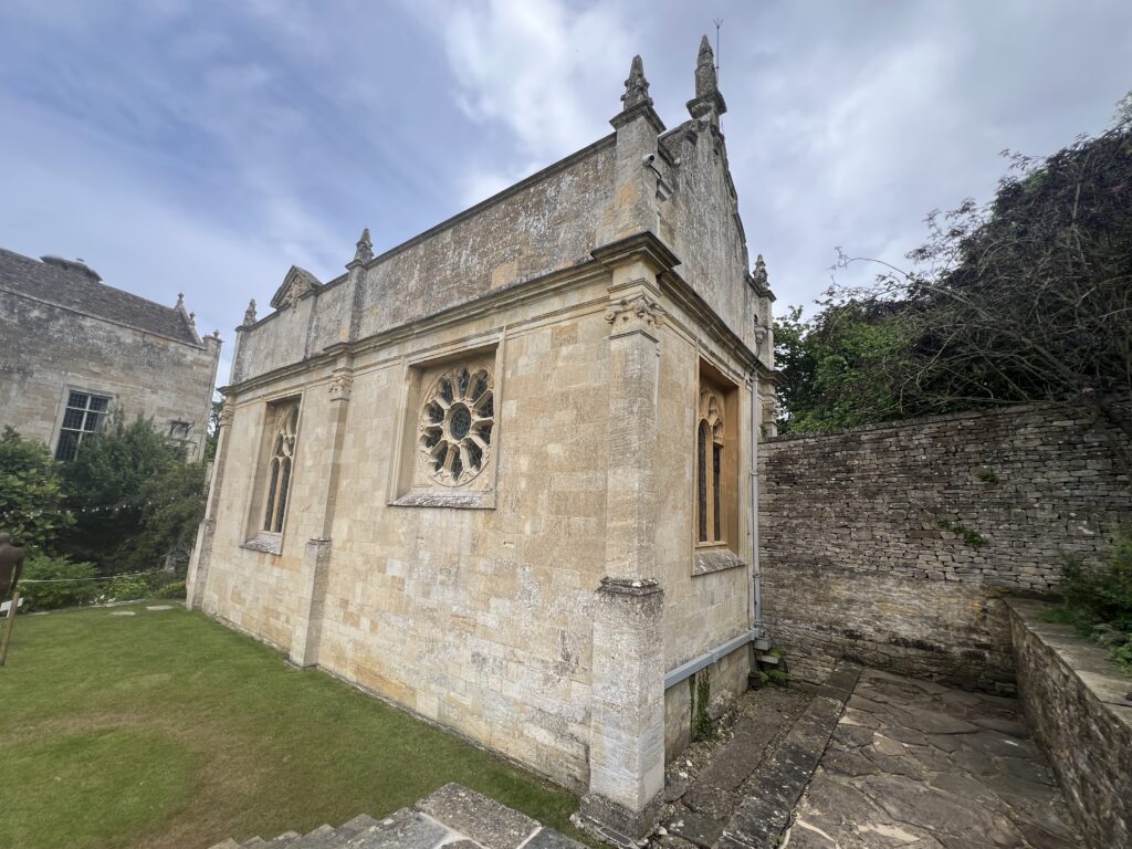
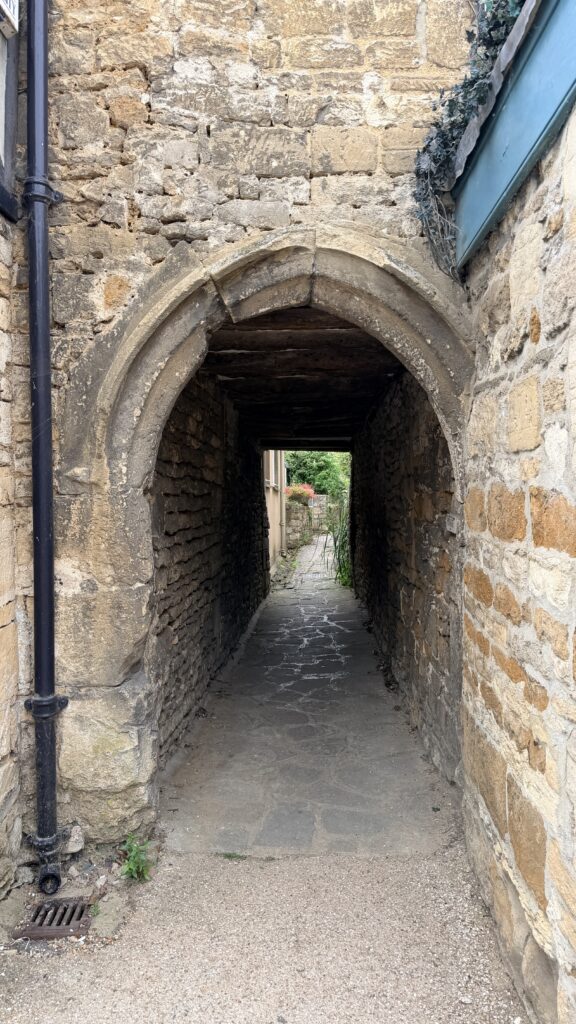
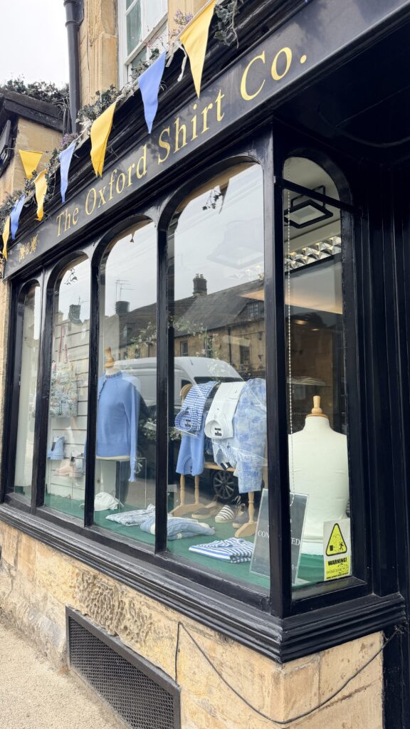
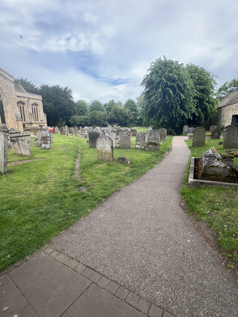
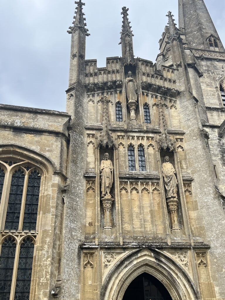
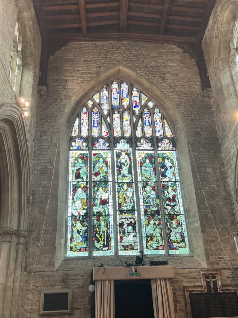
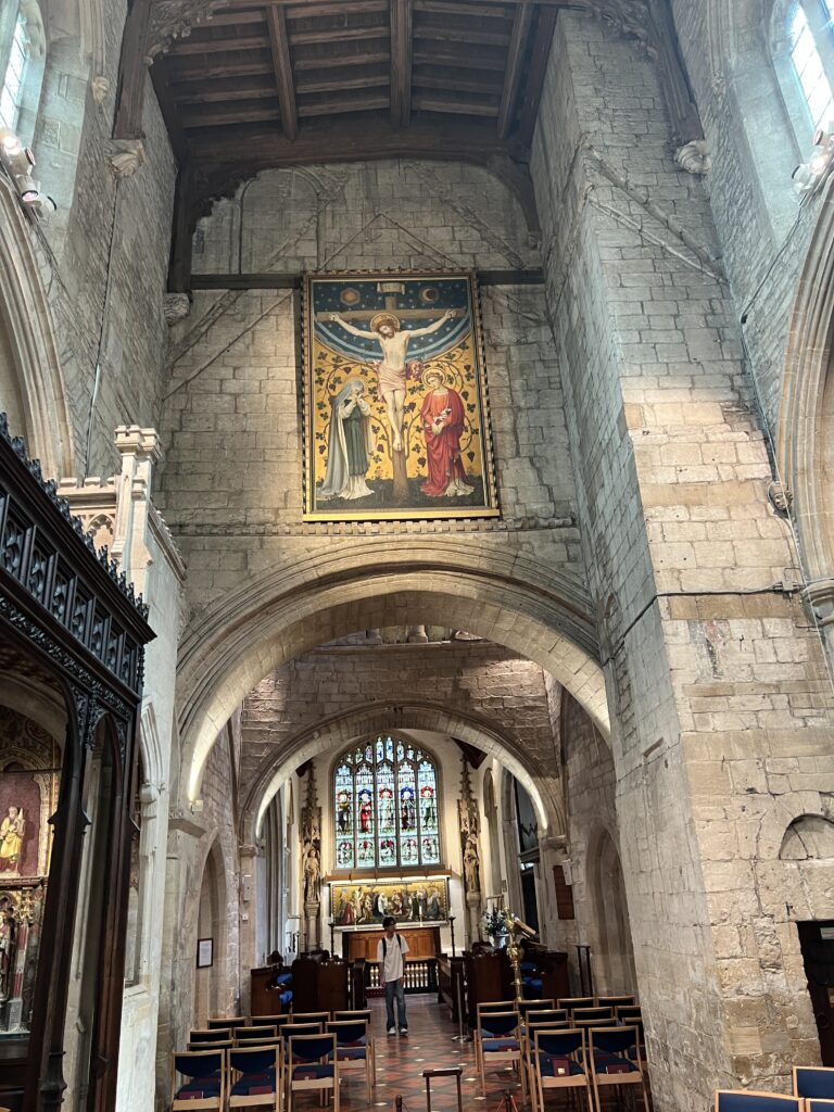
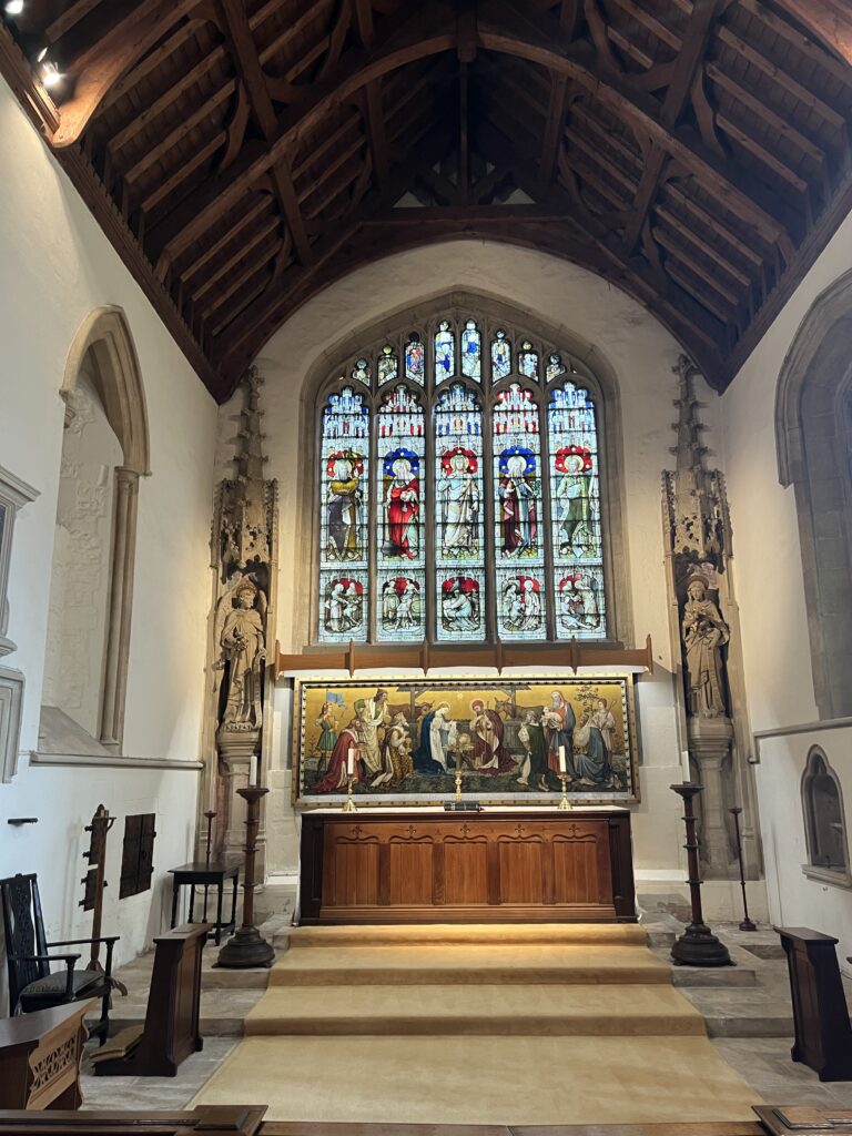
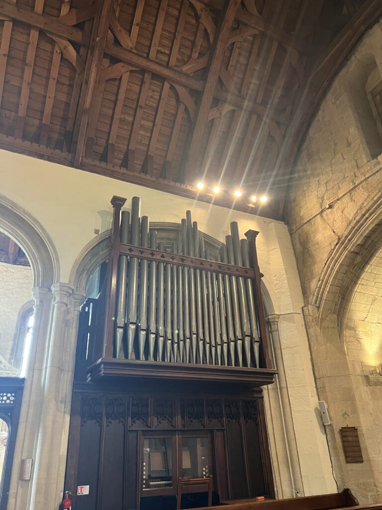
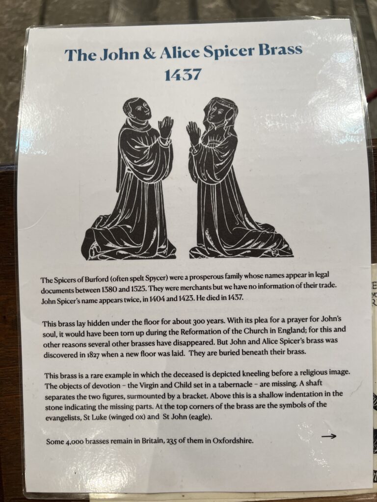
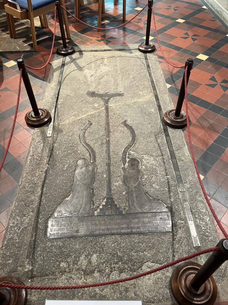
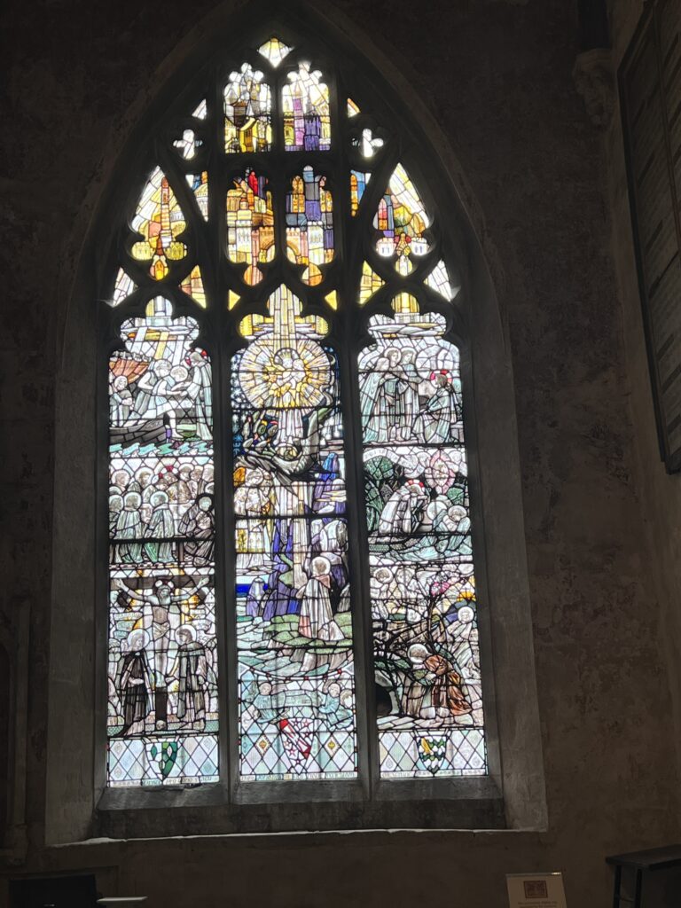
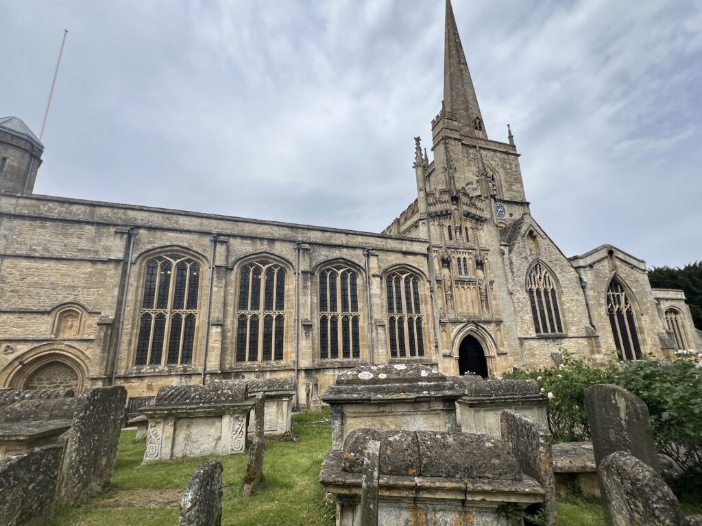
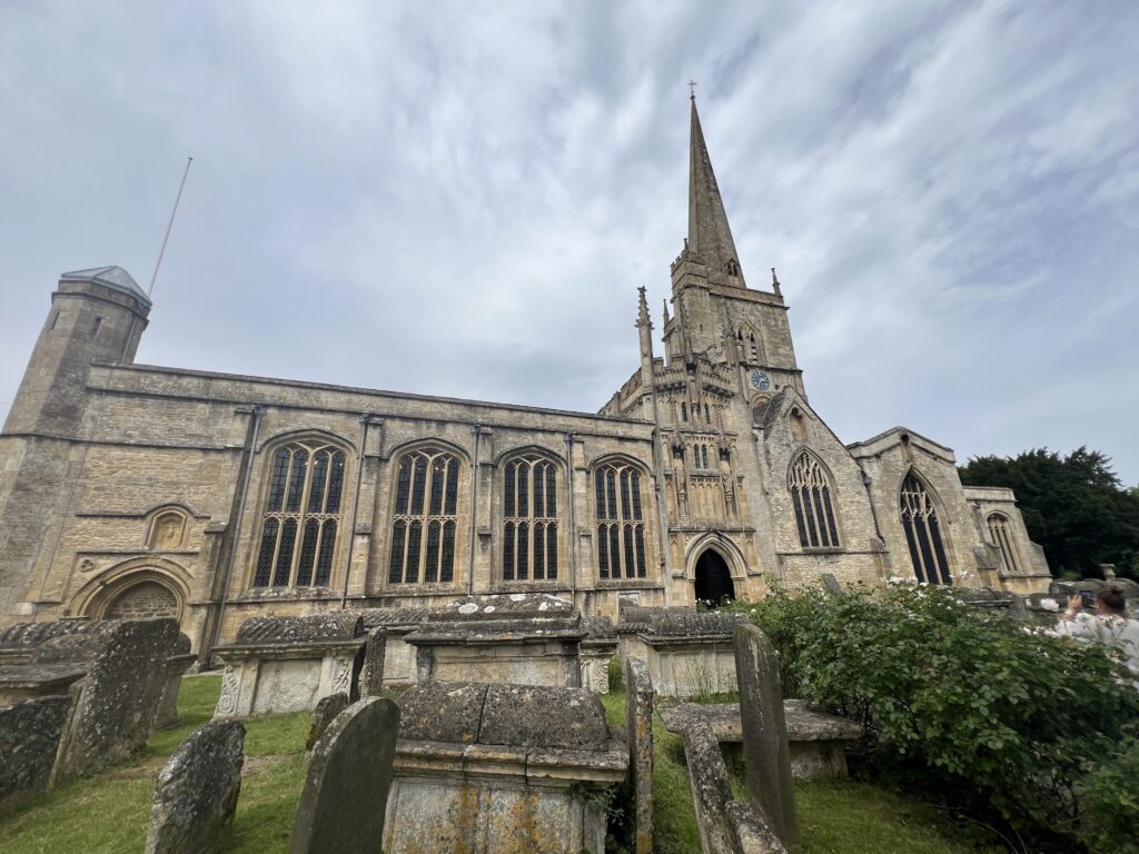
The Anglican Church of St John the Baptist in Burford, Oxfordshire, England, is a Grade I listed building.
The Church of England parish church is dedicated to Saint John the Baptist, and is described by David Verey as “a complicated building which has developed in a curious way from the Norman“. It is known for its merchants’ guild chapel and memorial to Henry VIII‘s barber-surgeon, Edmund Harman, which features South American Indians
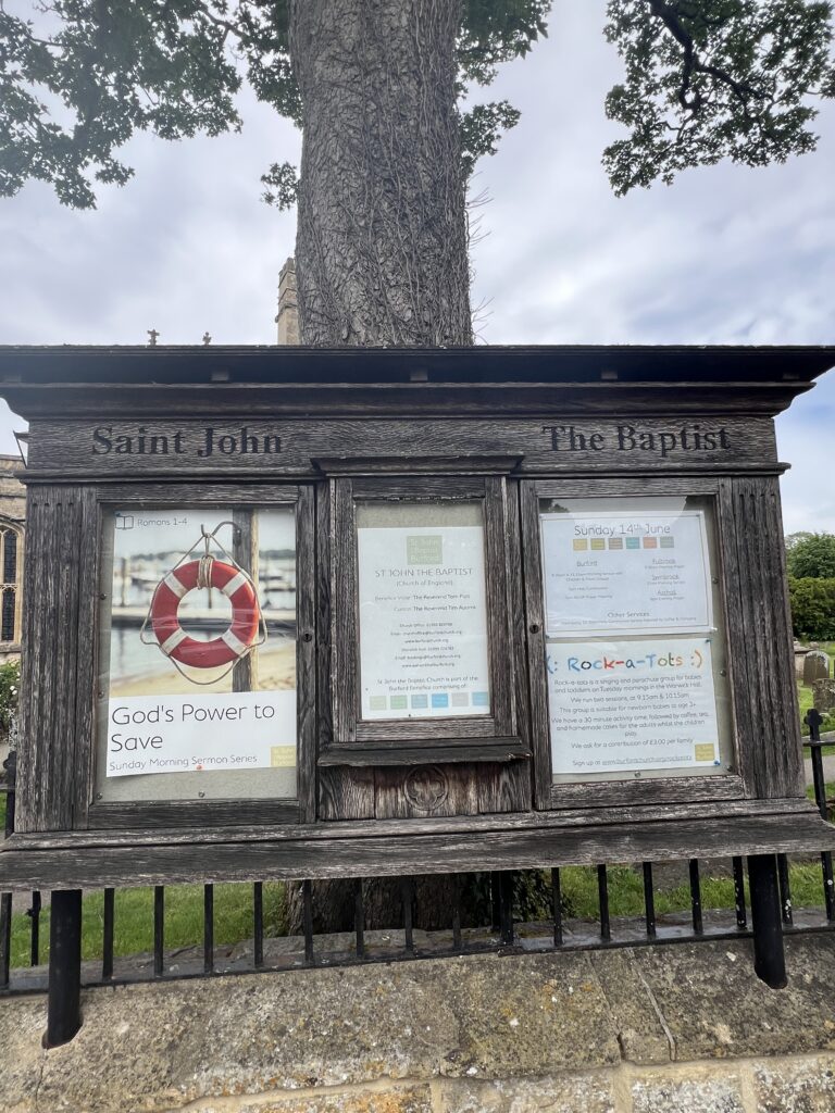
The current building was started in the 12th century. The current configuration of the building was completed by the 15th century as a Wool church.
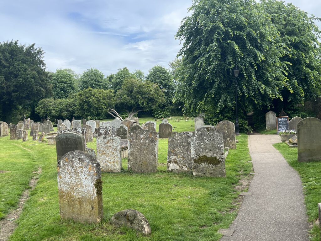
In 1649, during the English Civil War, a group of Levellers, part of the New Model Army Banbury mutineers, were imprisoned in the church and executed by gunshot in the churchyard following the new Treason Act introduced by parliament.
It underwent extensive Victorian restoration by George Edmund Street in 1870s and was one of the instances which prompted William Morris to establish the Society for the Protection of Ancient Buildings. The restoration included the addition of a tiled floor.
The parish and benefice of Burford is within the Diocese of Oxford.
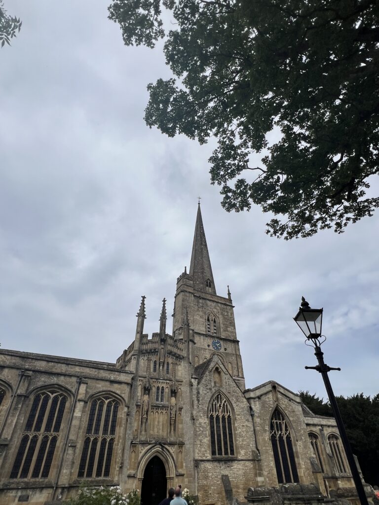
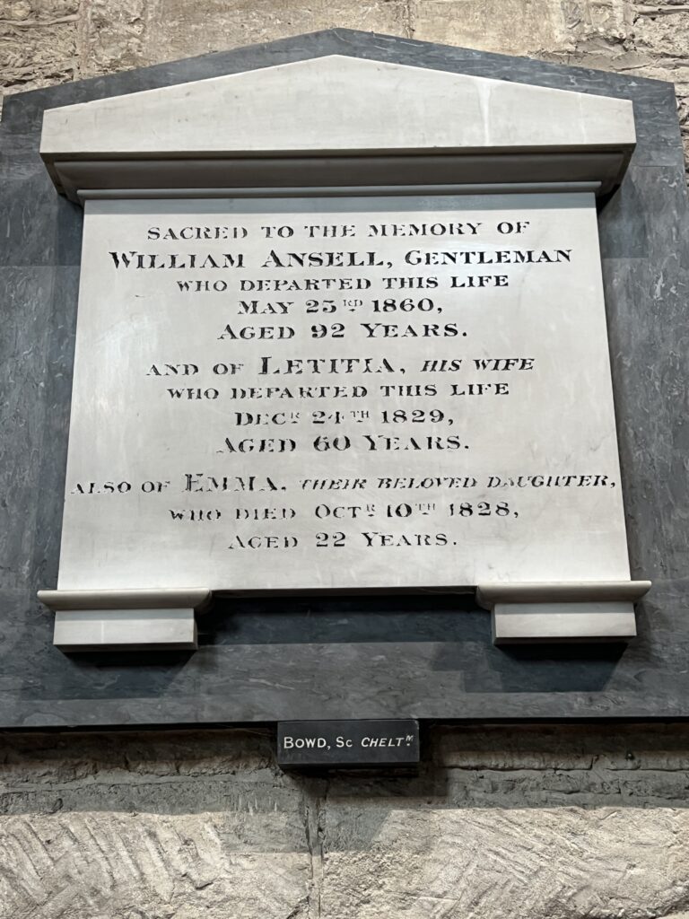
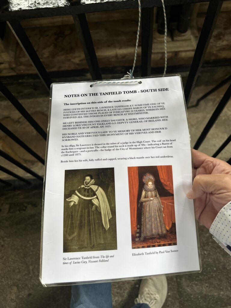
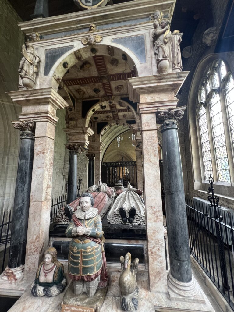
One of the large Cotswold ‘wool churches’ built between 1160 and 1475. Items of interest include: a memorial tablet to Henry VIII’s barber-surgeon, Edmund Harman, showing one of the earliest representations of South American Indians; the ornate, canopied tomb of Sir Lawrence and Lady Tanfield; a tablet commemorating the Burford mason, Christopher Kempster, who was employed by Christopher Wren on the rebuilding of St Paul’s Cathedral, and a pre-Christian carving dated at 100 AD, possibly depicting the Celtic goddess Epona.