Day 110 Thursday June 25th (10 days to go) — For our third day in Iceland we booked an excursion again with Bus Travel Iceland. When I booked these three excursions in Iceland, I thought these were private excursions, but I was wrong. On this bus tour we were the only Oceania passengers on the excursion. There was a lady from the Viking Mira and four passengers from a P&O cruise ship called the Aurora. The rest of the bus was a Japanese tour group.
Our excursion was called The Grand Golden Circle Tour which was over eight hours and 186.4 miles. The positives of the tour were that we saw some amazing locations. The negative for the day was a constant rain and a temperature that never got above 41F.
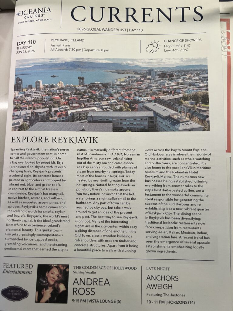
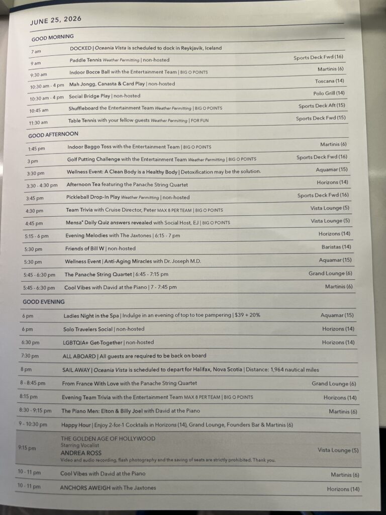


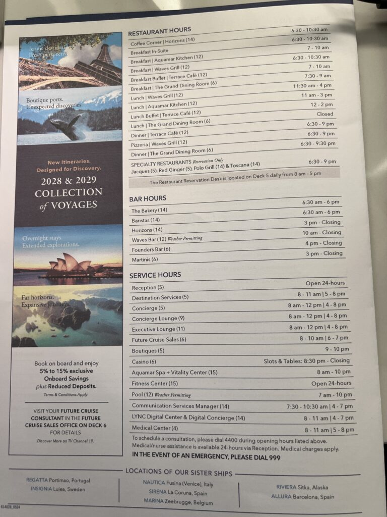
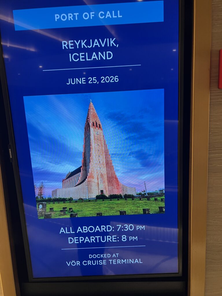
Video of the cruise terminal when we arrived. The rain started shortly after taking this video.
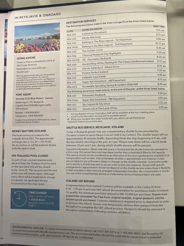
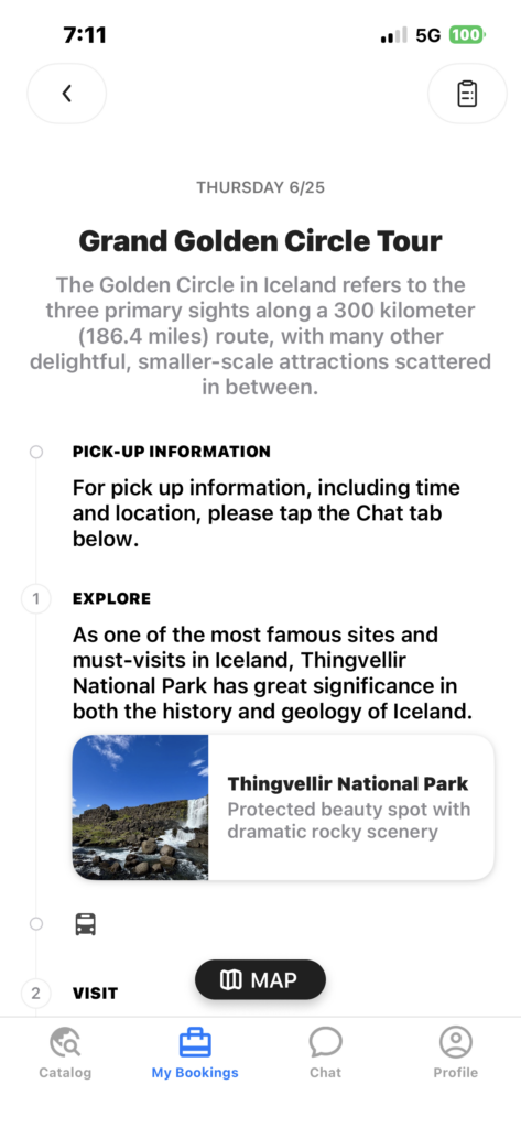
Our excursion itinerary for the day. Because of the amount of tour groups going out today our stops were in a different order than shown below.
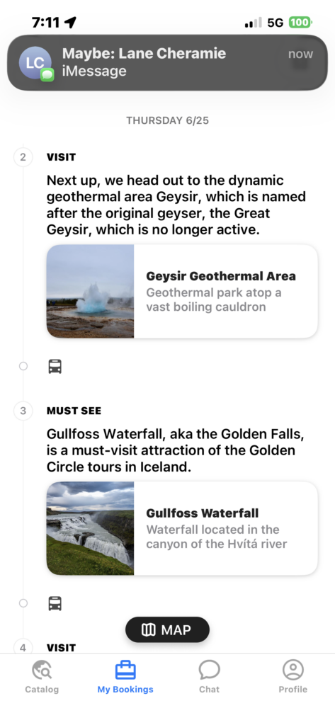
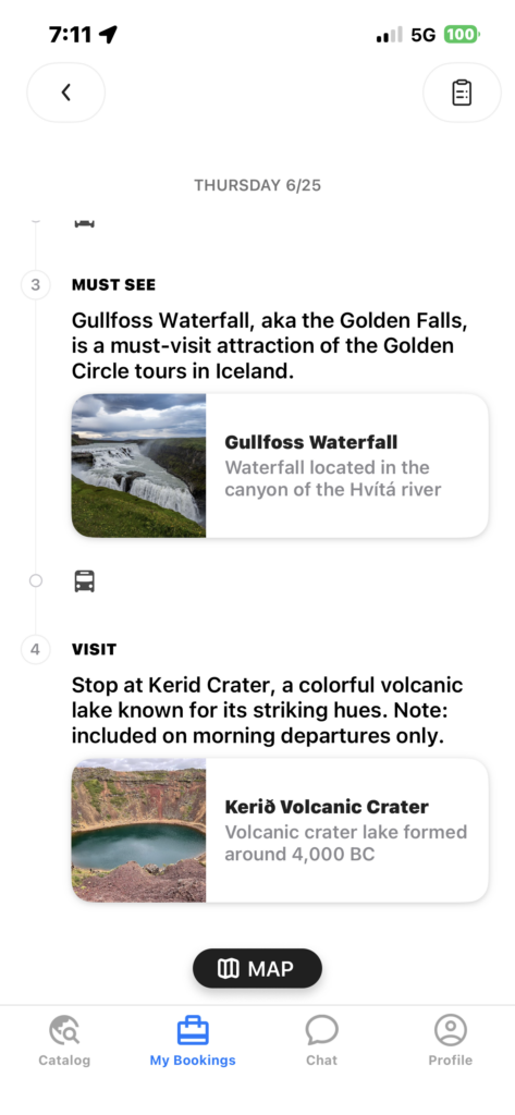
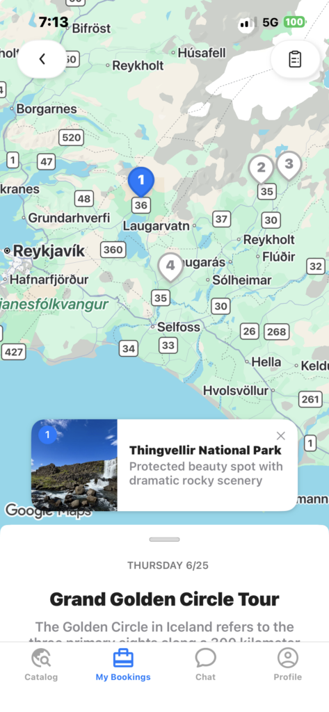
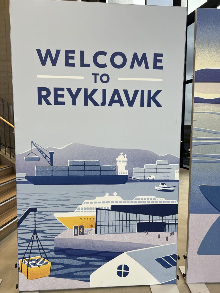
Welcome sign waiting for us in the cruise terminal
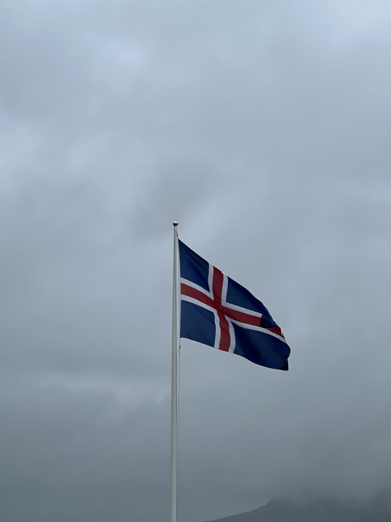
In the last few weeks just like I have a section called Faces Around the World, I thought about creating a section called Flags Around the World. I might do that after we get home when there is a dependable Wi-Fi system.
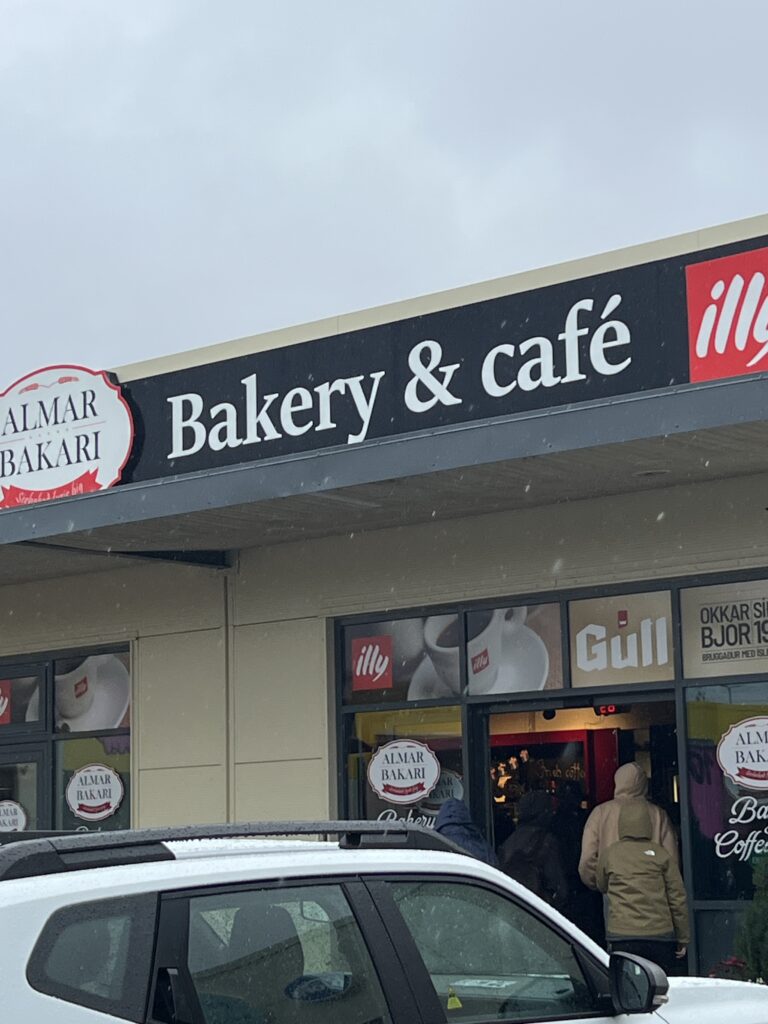
After leaving the port, the bus stopped at this location for a bathroom break. It gave us the chance to buy a baguette and chocolate chip cookies. On the ship we laugh as Kevin announces the Oceania cookies are more famous than good. The two we bought here were more good than famous, along with the bread. The phrase “more good than famous” came from Kevin’s stateroom steward after Kevin and Holly bought him cookies early in the cruise. When Kevin asked him how the cookies were, he told Kevin “More famous than good. 🙂 You can see the rain falling in the photo.
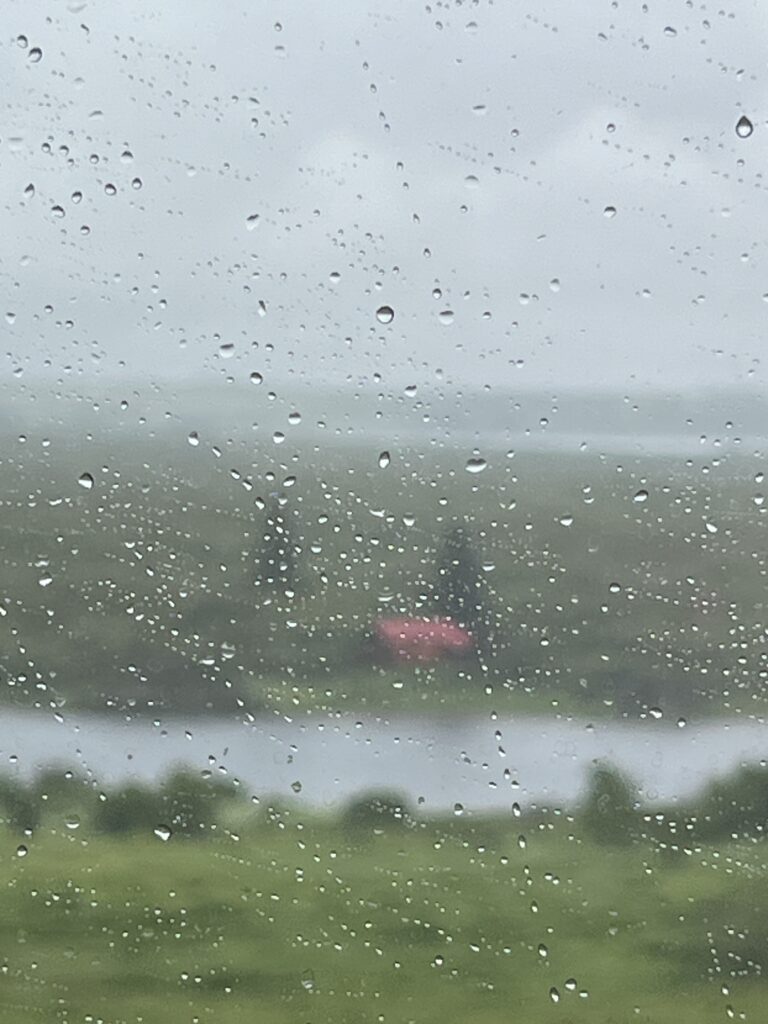
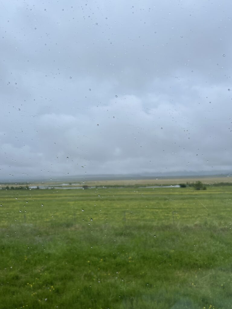
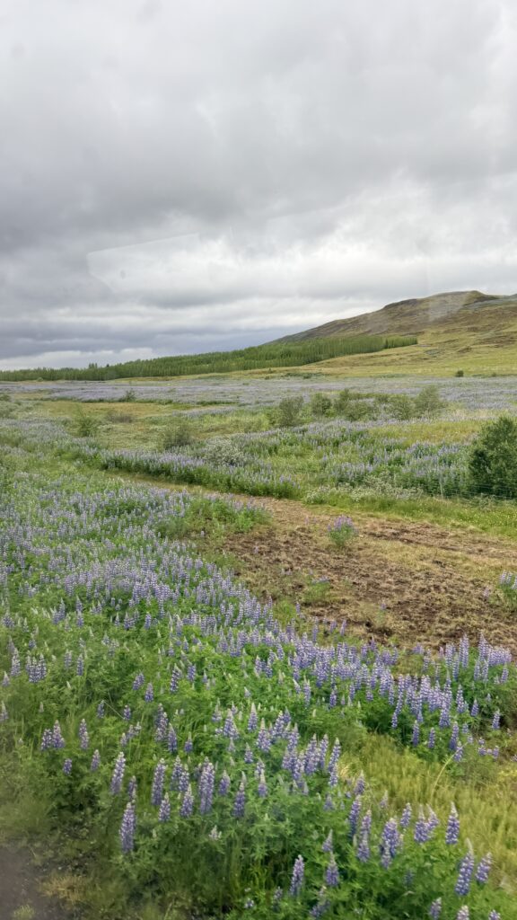
A lovely photo out the window of the bus. Sadly, most of the photos taken from the bus today looked exactly like this. We got lucky later in the day as the rain stopped and we were able to grab a few photos of the scenery outside Reykjavik.
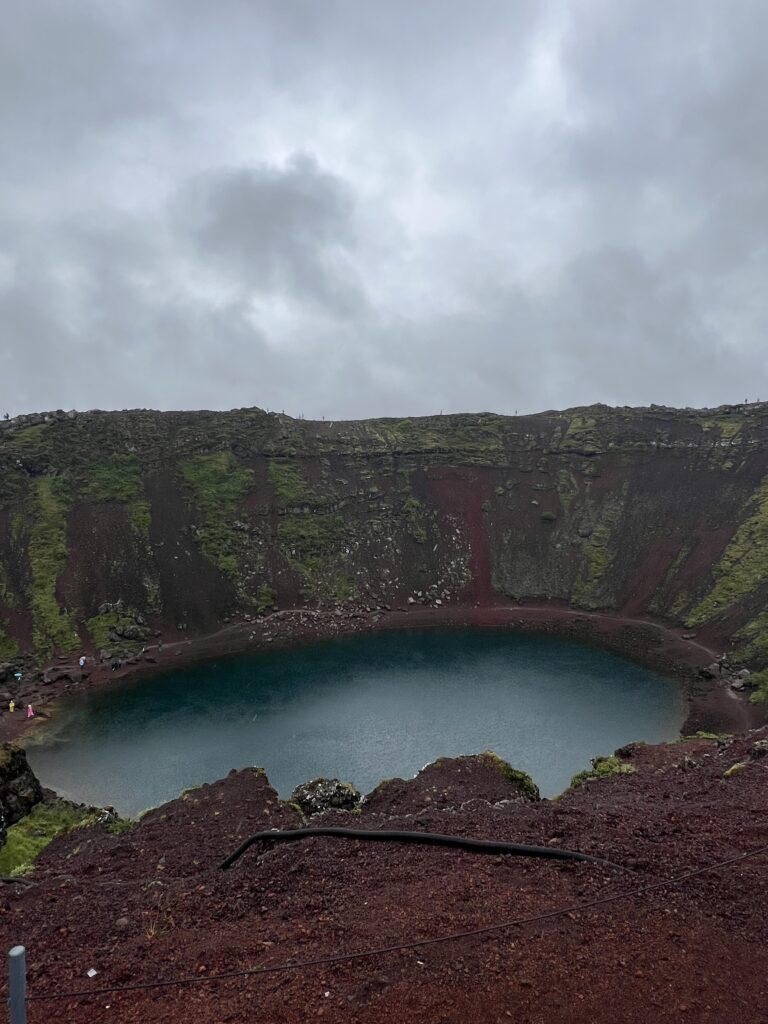
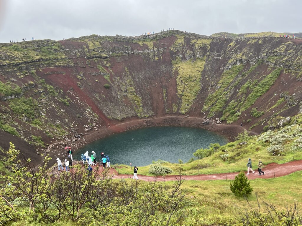
Kerið (Icelandic pronunciation: [ˈcʰɛːrɪθ]; also Kerith or Kerid) is a volcanic crater lake located in the Grímsnes area in south Iceland, along the Golden Circle. It is one of several crater lakes in the area, known as Iceland’s Western Volcanic Zone, which includes the Reykjanes peninsula and the Langjökull Glacier, created as the land moved over a localized hotspot, but it is the one that has the most visually recognizable caldera still intact. The site is a popular area for tourists in Iceland.
Kerið Crater Official Website – A Geological Wonder of Iceland
Kerid Crater Travel Guide | Guide to Iceland
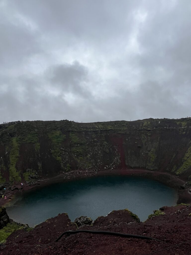
Kerið is the northernmost of four craters situated along an 800-meter fissure called the Tjarnarhólar [ˈtʰja(r)tnarˌhouːlar̥] row. It was formed through explosive volcanic activity (classified as a maar) and is elliptical, measuring approximately 55 m (180 ft) deep, 170 m (560 ft) wide, and 270 m (890 ft) across. The wall of the crater consists of basalt, formed following the cooling of lava, and scoria. Sources differ as to when the explosion occurred that created the crater, ranging from 6,420 years ago to 9,000 years ago.
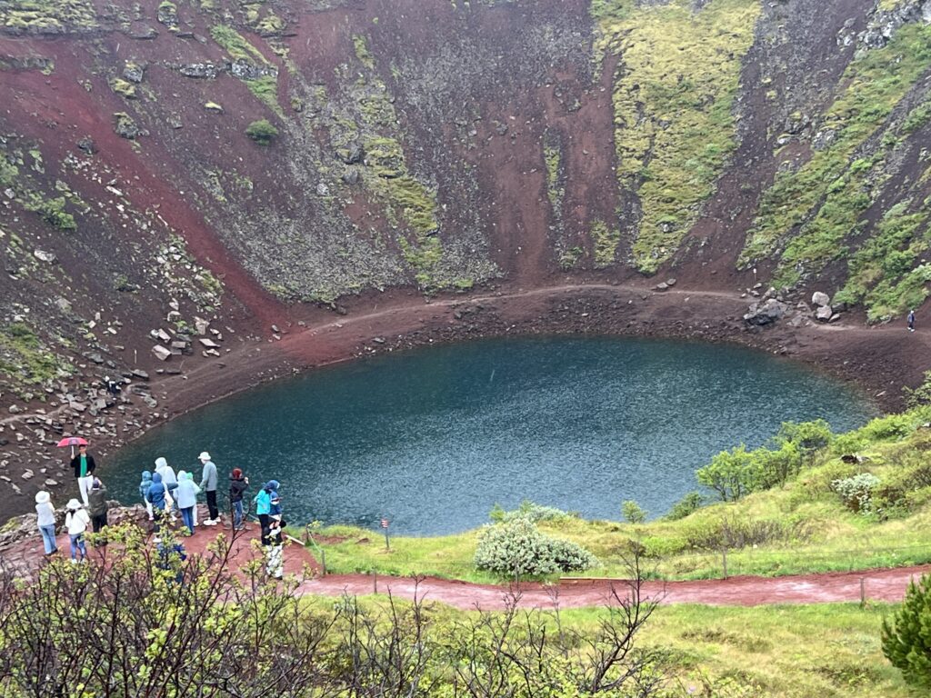
While most of the crater is steep-walled with little vegetation, one wall is sloped more gently and blanketed with a deep moss. The sloped wall can be descended easily. The lake at the bottom of the crater is fairly shallow (6–14 meters, depending on the level of groundwater); due to minerals from the soil, the water appears aquamarine. Researchers have identified 10 taxa of zooplankton in the lake, primarily from the Rotifera phylum.
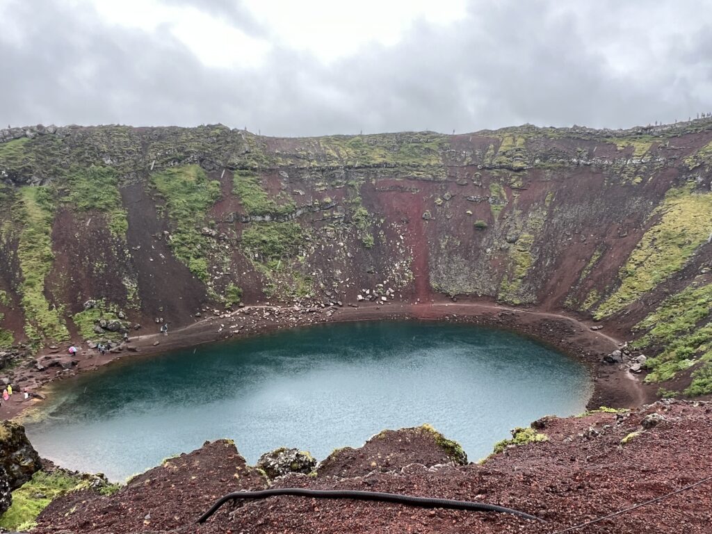
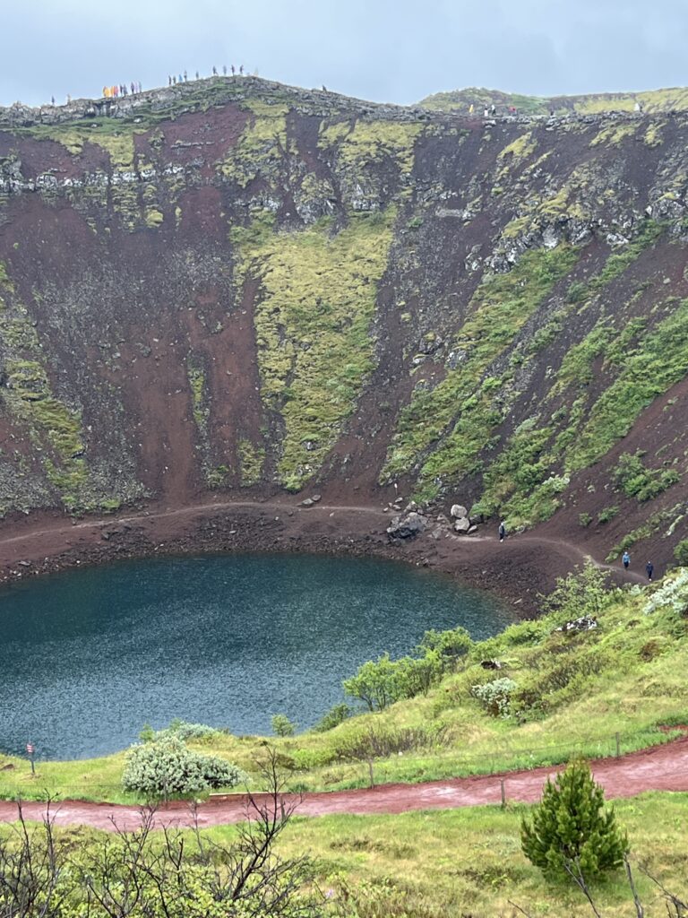
The water was a beautiful deep blue. With the rain falling, it was a quick run to a couple of locations to take some photos and then run back to the bus.
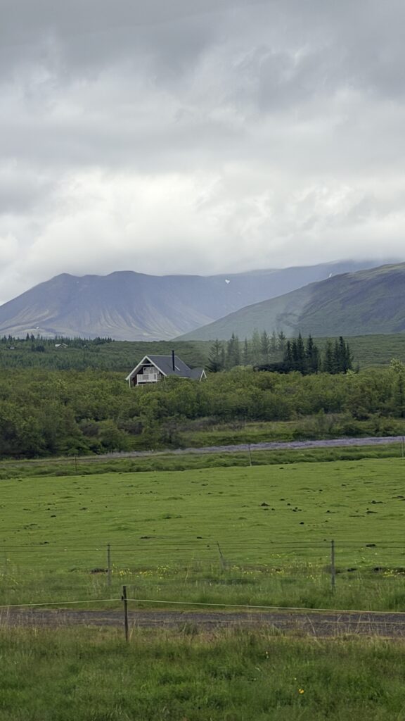
Three photos from the bus while we were driving to the next stop.
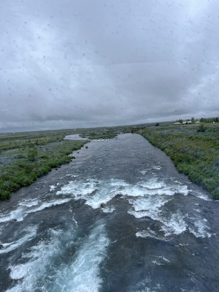
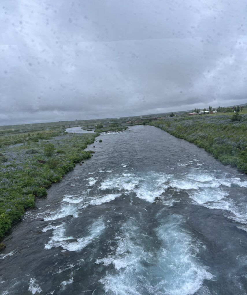
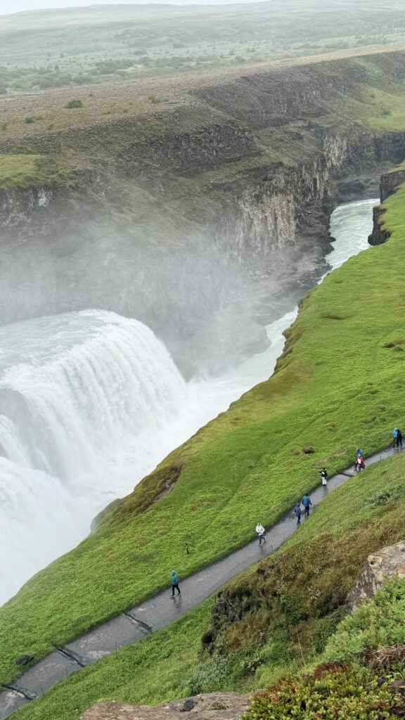
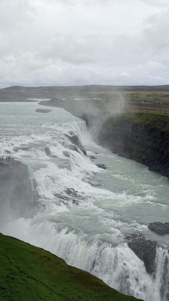
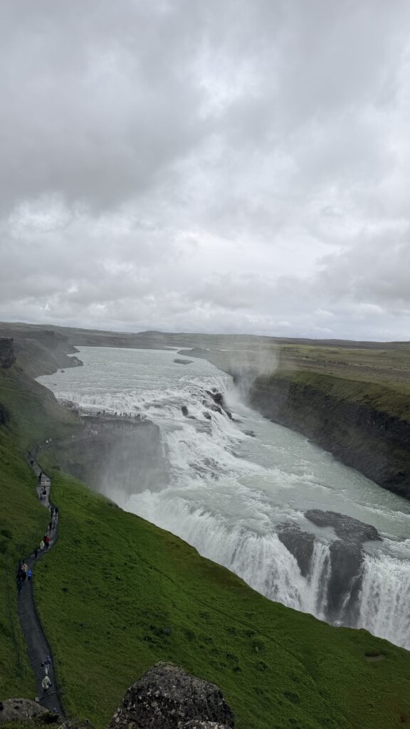
Gullfoss (“Golden Falls”; Icelandic pronunciation:ⓘ [ˈkʏtl̥ˌfɔsː]) is a waterfall located in the canyon of the Hvítá river in southwest Iceland. It is one of the most popular tourist attractions in the country, and is included in “Golden Circle” tours of the countryside near Reykjavík.
Gullfoss Waterfall Tours, Parking, Fees
Gullfoss Waterfall Travel Guide | Guide to Iceland
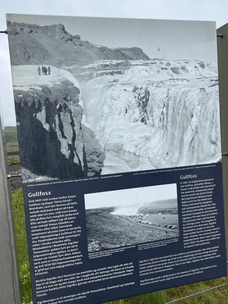
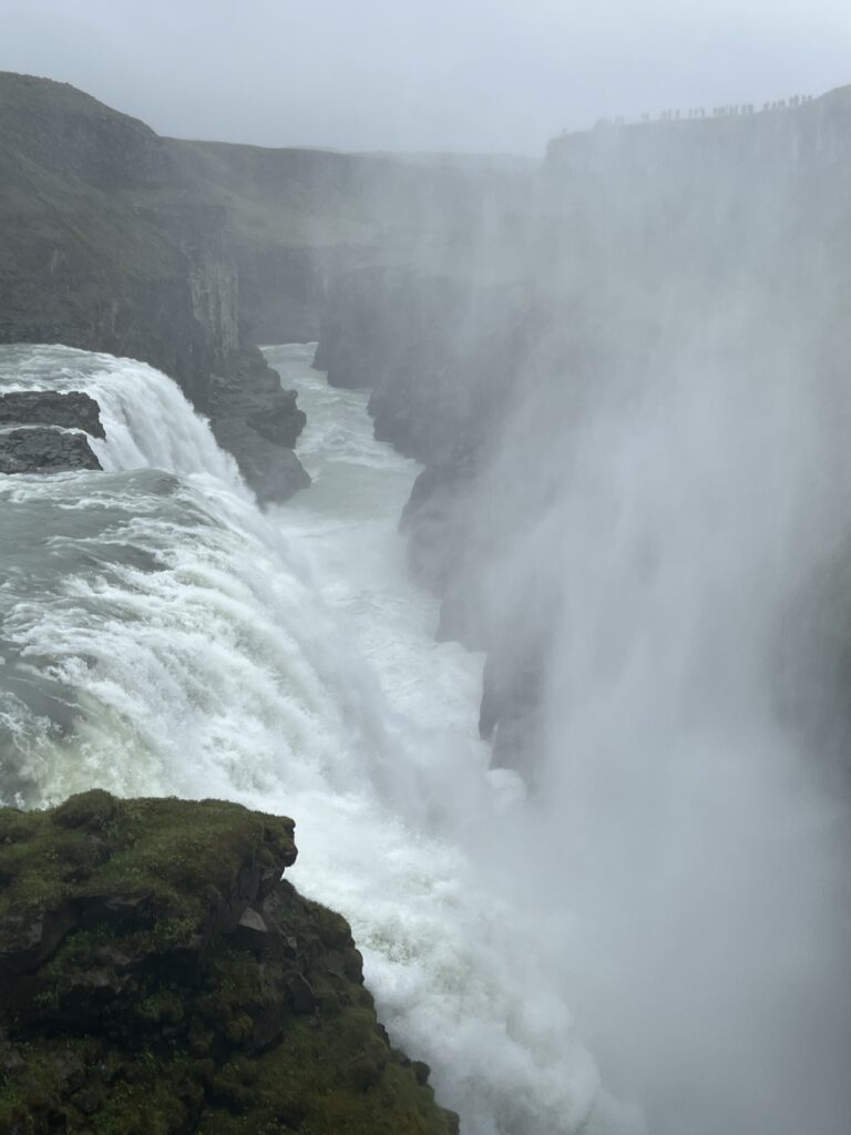
The Hvítá river flows southward, and about a kilometre above the falls it turns sharply to the west and flows down into a wide curved three-step “staircase” and then abruptly plunges in two stages (11 metres or 36 feet, and 21 metres or 69 feet) into a crevice 32 metres (105 ft) deep. The crevice, about 20 metres (66 ft) wide and 2.5 kilometres (1.6 mi) in length, extends perpendicular to the flow of the river. The average amount of water running down the waterfall is 141 cubic metres (5,000 cu ft) per second in the summer and 80 cubic metres (2,800 cu ft) per second in the winter. The highest flood measured was 2,000 cubic metres (71,000 cu ft) per second.
During the first half of the 20th century and some years into the late 20th century, there was much speculation about using Gullfoss to generate electricity. During this period, the waterfall was rented indirectly by its owners, Tómas Tómasson and Halldór Halldórsson, to foreign investors. However, the investors’ attempts were unsuccessful, partly due to lack of money. Sigríður Tómasdóttir, daughter of the co-owner, is popularly credited with saving the waterfall from exploitation: advocating for legal protections against foreign control of it, and reportedly threatening to throw herself down the falls. A stone memorial above the falls depicts her profile. The waterfall was later sold to the Icelandic government and was made a permanent conservation site in 1979.
Gullfoss is one of the most popular tourist attractions in Iceland. Together with Þingvellir, Geysir, and the other geysers of Haukadalur, Gullfoss forms part of the Golden Circle, a popular day excursion for tourists in Iceland.
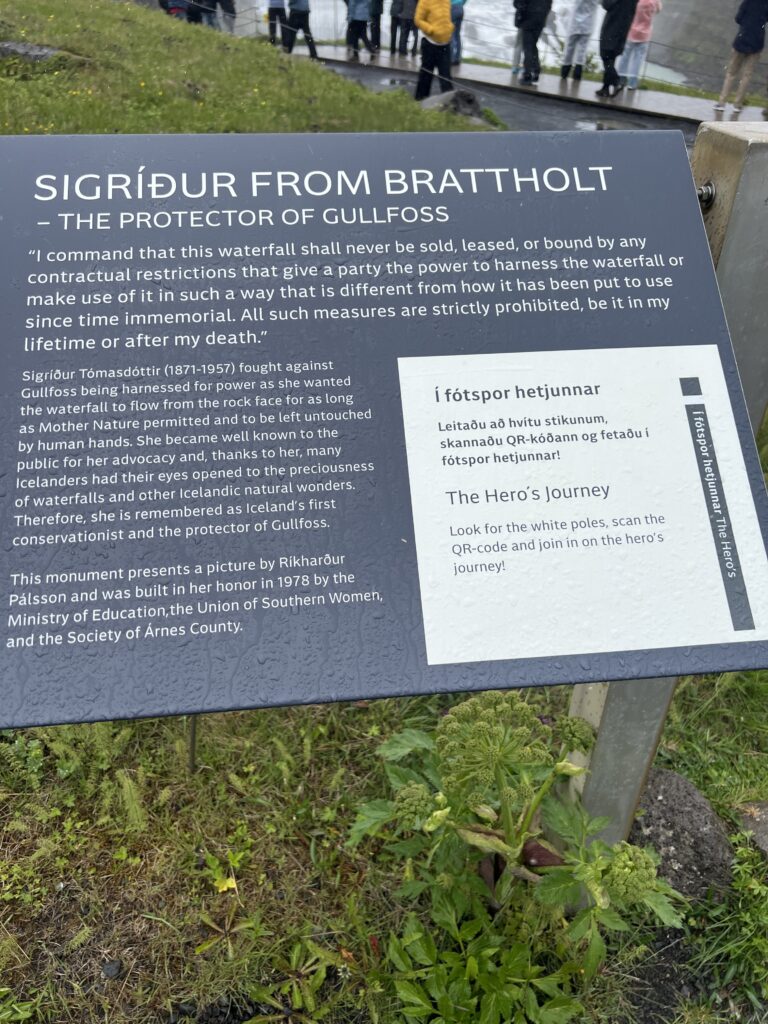
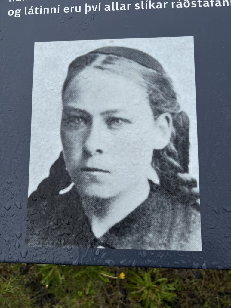
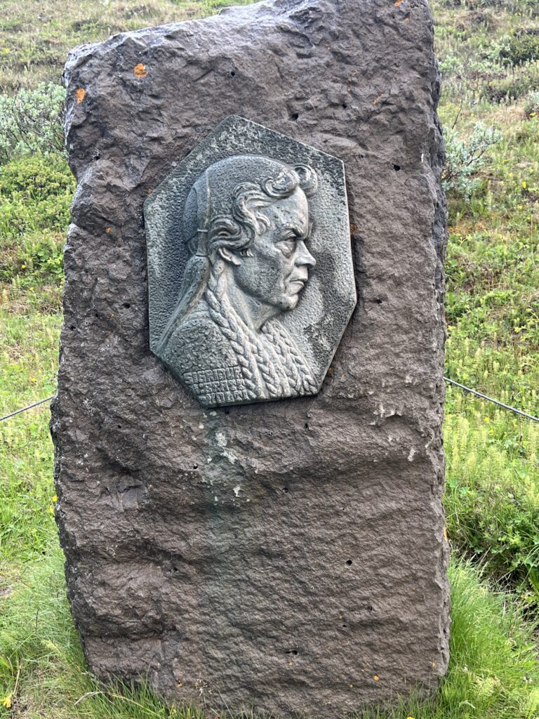
The next three photos are from Jackie’s viewpoint high atop the falls.
A stock photo I was able to find in the link below of Gullfoss Falls in winter, with the Northern Lights
Gullfoss Falls, Iceland – Gullfoss Falls Website
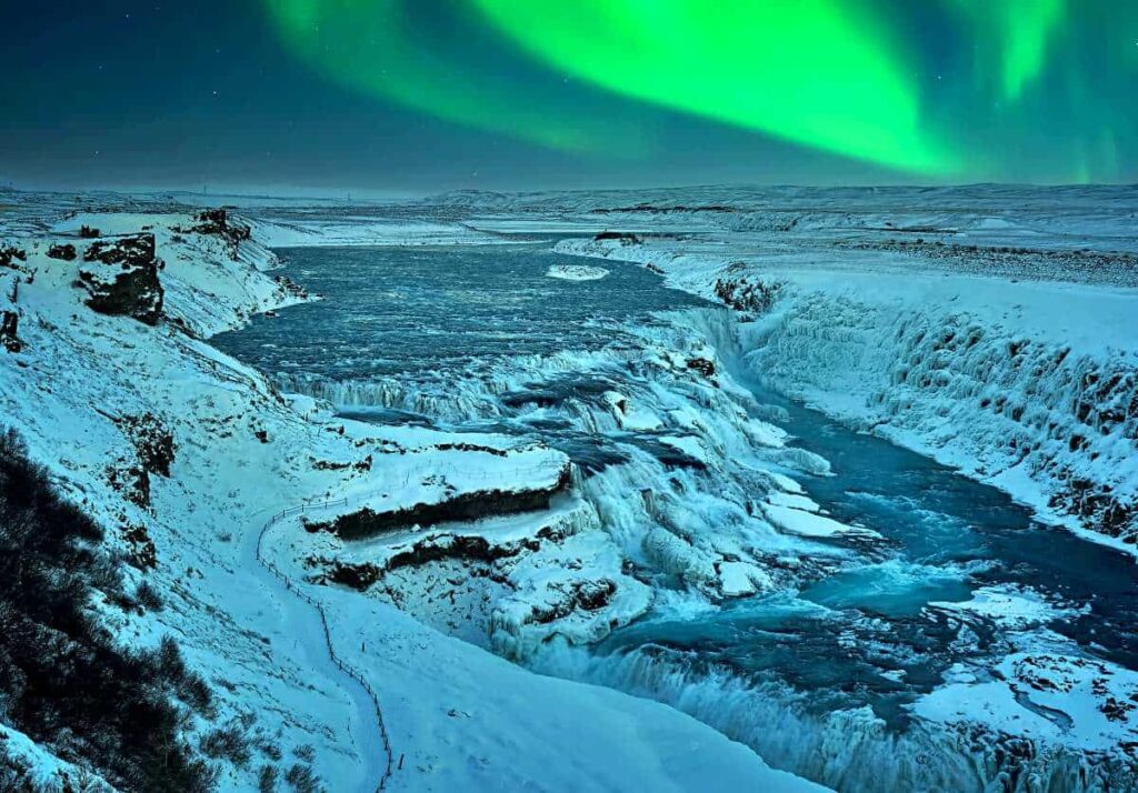
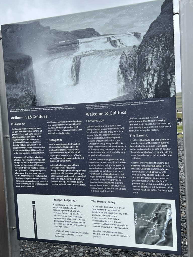
Photo Lane took before starting the two hundred steps down some stairs and then a walkway to the falls.
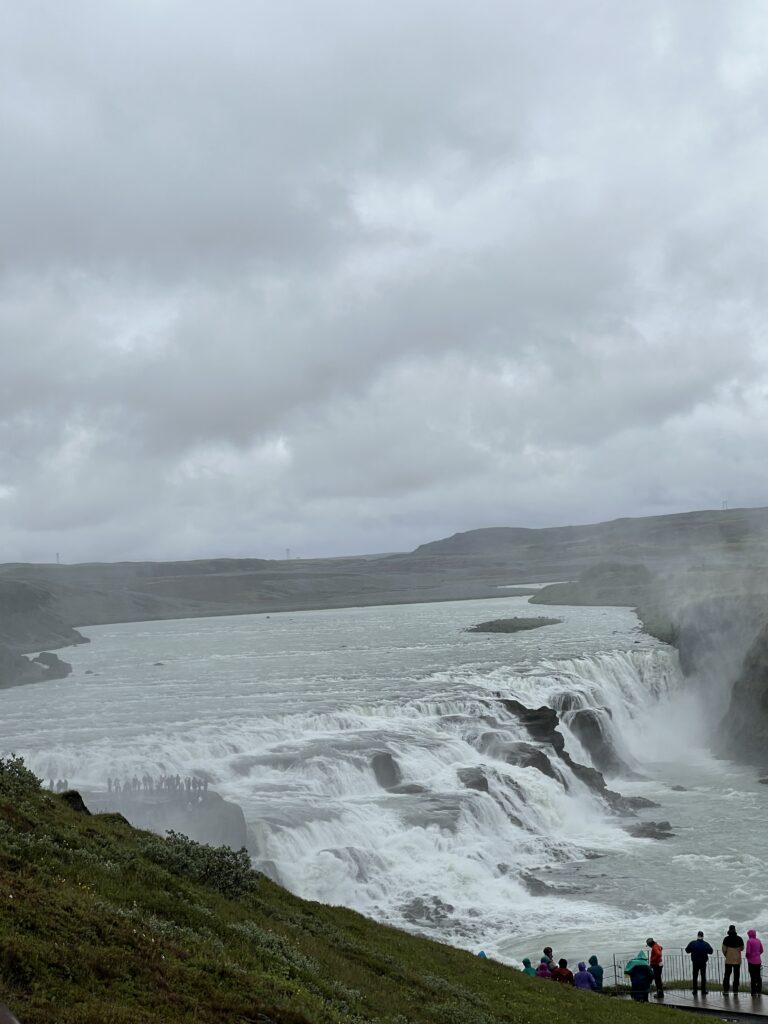
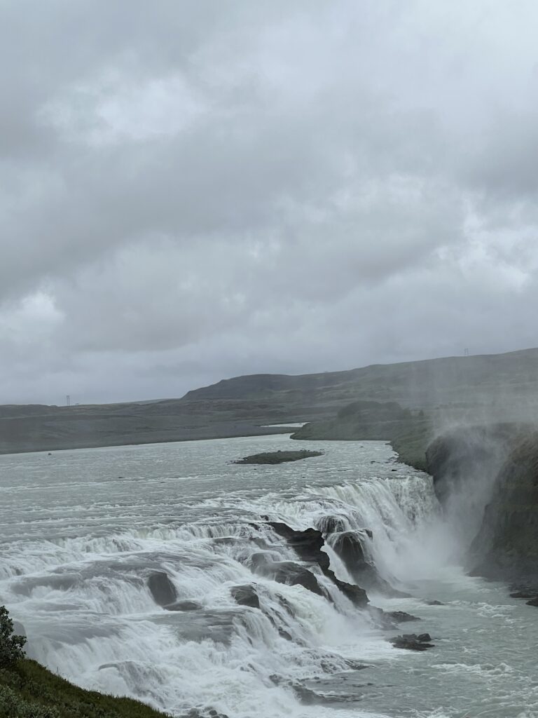
Fingers crossed that these videos come across. View with the volume up.
I was pretty soaked by the time I finished taking photos and videos and climbed back to the top. It felt great in the 40 degree weather. 🙂
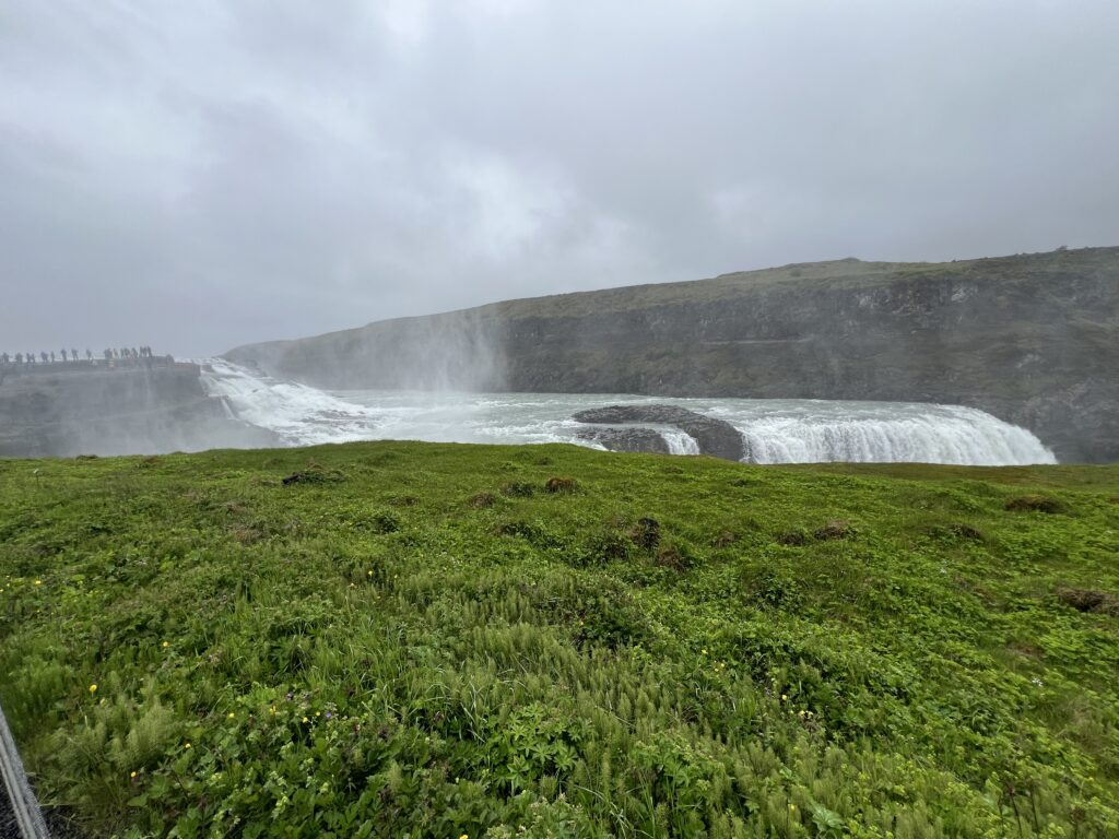
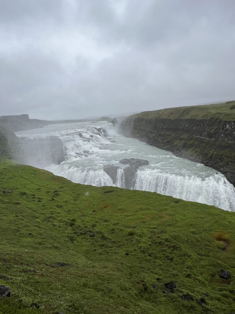
Two photos from the bus as the rain let up a little and we drove to our next stop
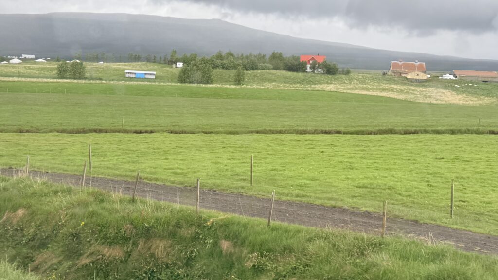
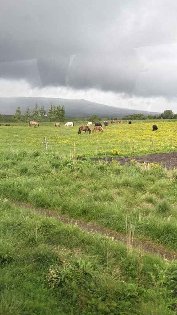
The next stop we had to just smile about as the rest of the bus (Japanese tourists) were all excited about the stop. We just stayed in the bus during the stop and was able to take advantage of the cellular service to download and upload photos and videos
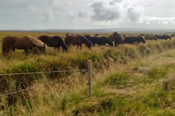
Brú Horse Farm is a scenic countryside stop where visitors can meet Icelandic horses up close. The farm offers a peaceful farmyard setting with excellent views over surrounding fields and hills. It’s an easy, family-friendly place to learn about this unique breed. Great for photos and short visits along the Golden Circle. The horse farm was a pen setup at a rest area off the interstate in the United States.
Bru Horsefarm – Icelandic Horses near Iceland’s Famous Geysir
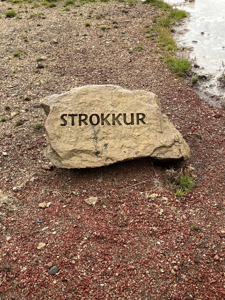
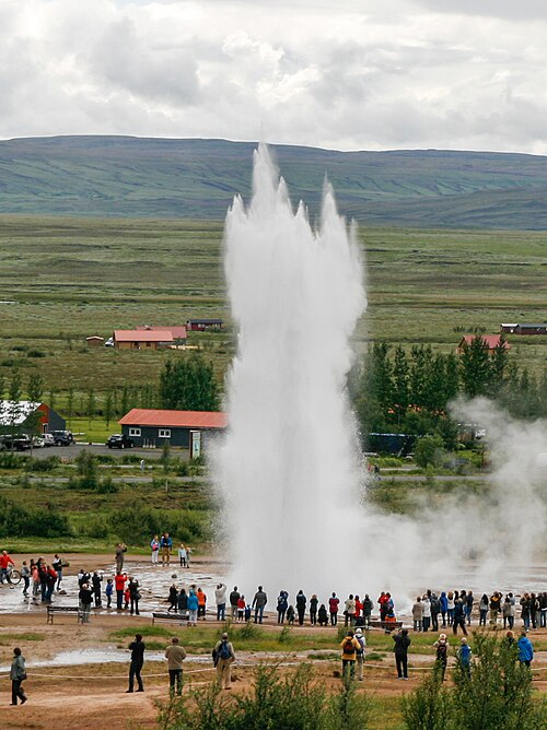
Strokkur (Icelandic [ˈstrɔhkʏr̥], “churn”) is a fountain-type geyser located in a geothermal area beside the Hvítá River in Iceland in the southwest part of the country, east of Reykjavík. It typically erupts every 6–10 minutes. Its usual height is 15–20 metres (49–66 ft), although it can sometimes erupt up to 40 meters (130 ft) high.
Strokkur Geyser Travel Guide | Guide to Iceland
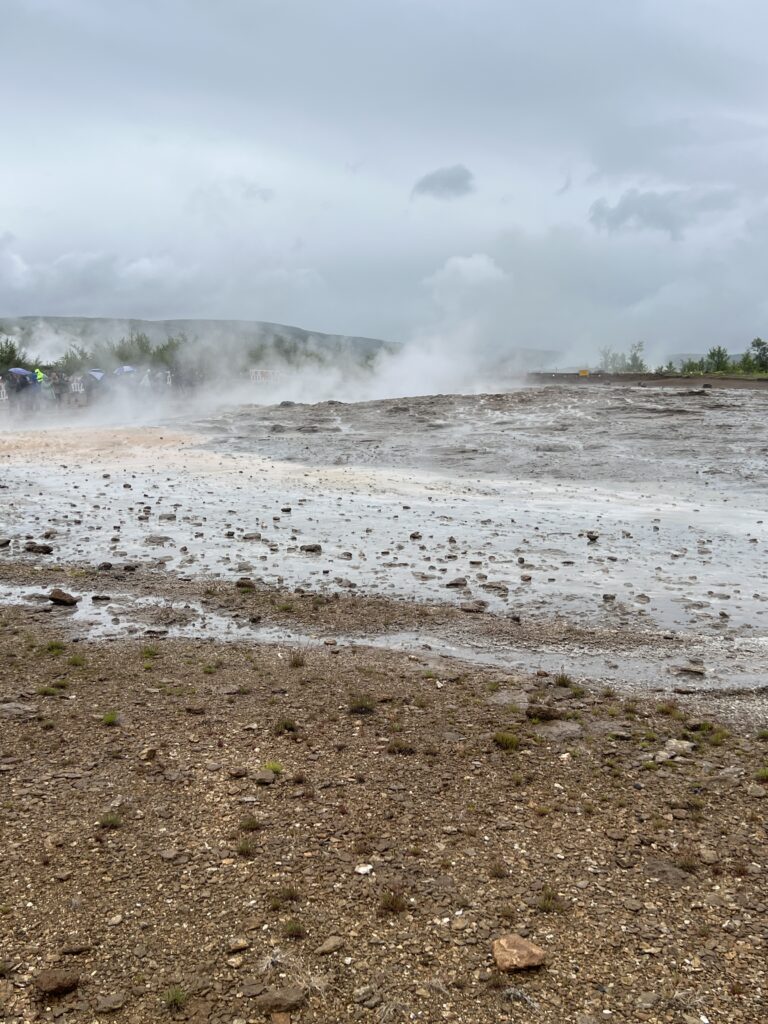
Strokkur belongs to the Haukadalur valley area, where various other geothermal feature such as mud pools, fumaroles and other geysers are located around it, such as the famous Geysir geyser, which lies only 50 meters (160 ft) to the north.
Strokkur was first mentioned in 1789, after an earthquake helped to unblock the conduit of the geyser. Its activity fluctuated throughout the 19th century; in 1815 its height was estimated to have been as much as 60 metres (200 ft). It continued to erupt until the turn of the 20th century, when another earthquake blocked the conduit again. In 1963, upon the advice of the Geysir Committee, locals cleaned out the blocked conduit through the bottom of the basin, and the geyser has been regularly erupting ever since.
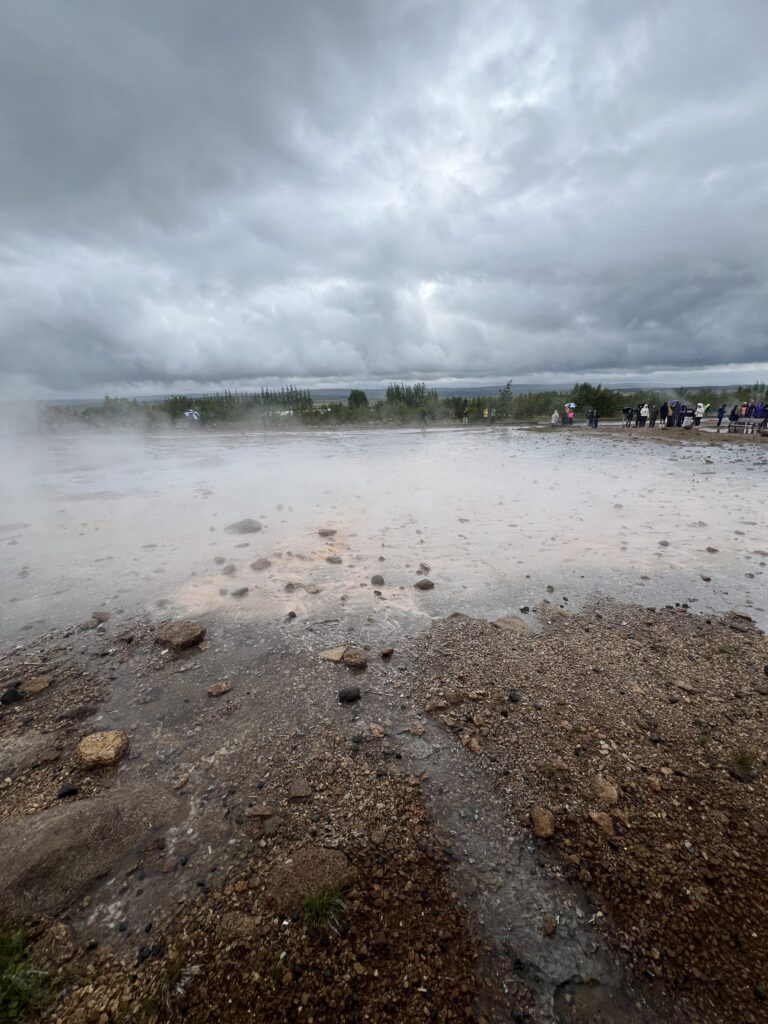
This is a video of the eruption we captured. As we were walking to the site it shot up really high. We waited in the wind, rain and cold for the next eruption and it did not erupt very high. As we were walking back to get out the cold and rain, it erupted high again. Maybe next time….laughing
What we were hoping to capture on the video.
Boiling water in this small geysir.
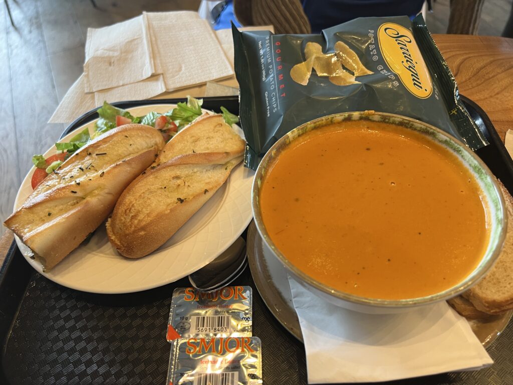
We grabbed a bite to eat in the Geysmir Center. Iceland is SUPER expensive. This meal below cost $49 USD
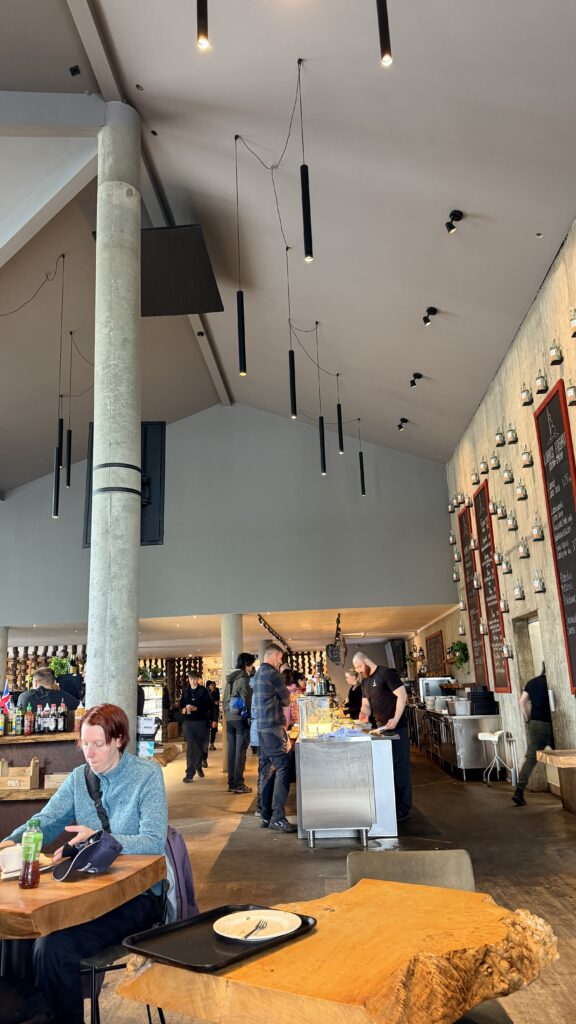
Couple of photos from inside the restaurant
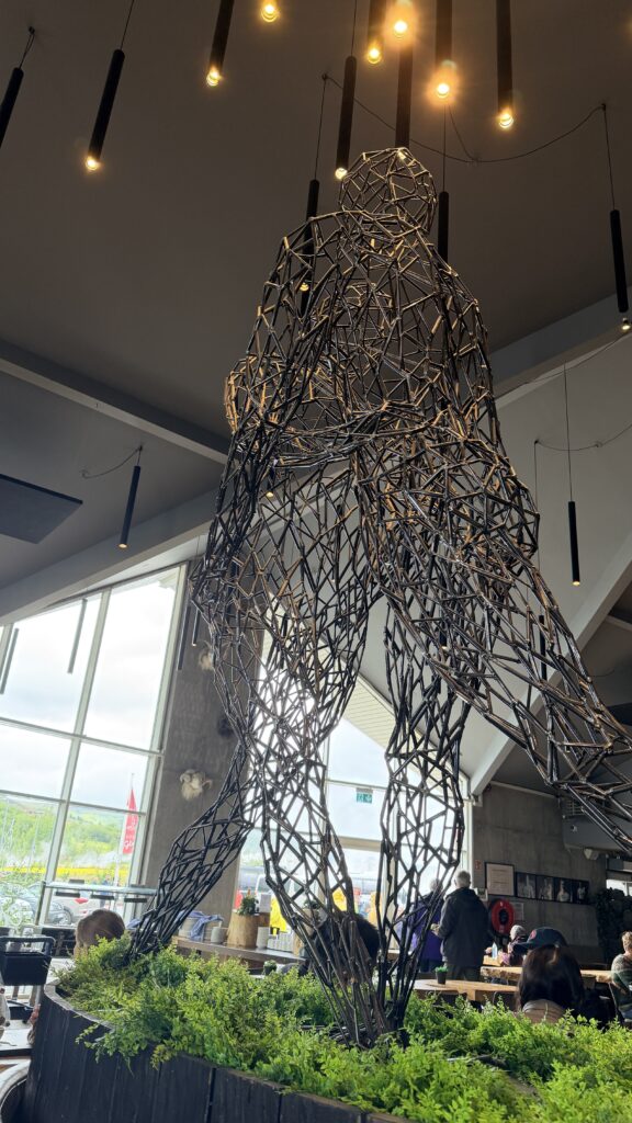
Couple photos from inside the shop of the geysmir center
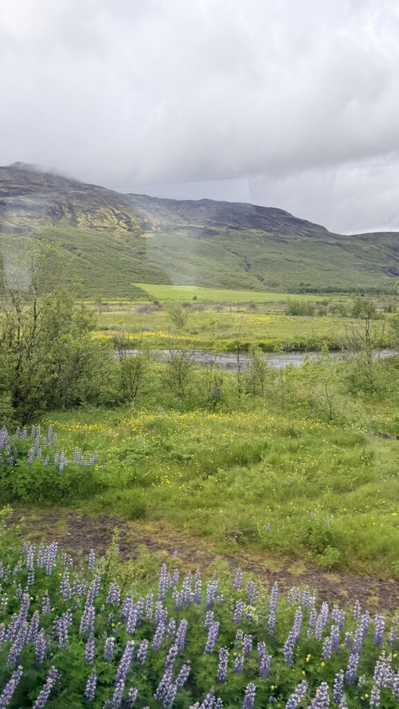
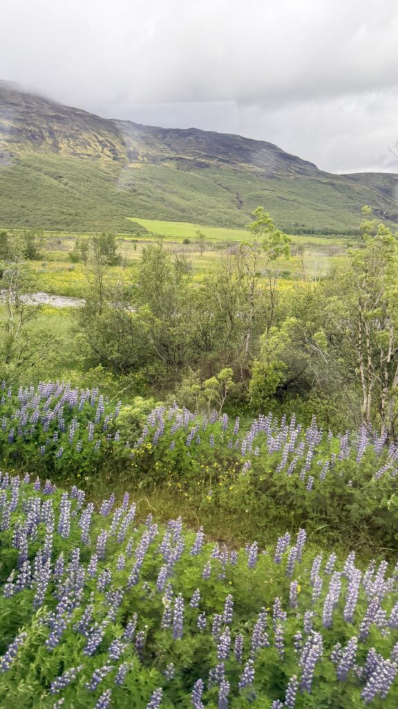
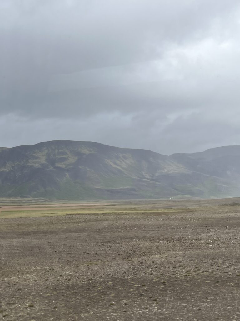
Four photos as the rain decreased and we are on the bus heading to our final stop.
Þingvellir (Icelandic: [ˈθiŋkˌvɛtlɪr̥] ⓘ, anglicised as Thingvellir[Note 1]) was the site of the Alþing, the annual parliament of Iceland from the year 930 until the last session held at Þingvellir in 1798. Since 1881, the parliament has been located within Alþingishúsið in Iceland’s capital, Reykjavík.
Þingvellir is now a national park in the municipality of Bláskógabyggð in southwestern Iceland, about 40 km (25 miles) northeast of Reykjavík. Þingvellir is a site of historical, cultural, and geological significance, and is one of the most popular tourist destinations in Iceland. The park lies in a rift valley that marks the crest of the Mid-Atlantic Ridge and the boundary between the North American and Eurasian tectonic plates. To its south lies Þingvallavatn, the largest natural lake in Iceland.
Þingvellir National Park (þjóðgarðurinn á Þingvöllum [ˈθjouðˌkarðʏrɪn au ˈθiŋkˌvœtlʏm]) was founded in 1930, marking the 1000th anniversary of the Althing. The park was later expanded to protect the diverse and natural phenomena in the surrounding area and was designated as a World Heritage Site in 2004.
Thingvellir National Park – Heart of Iceland
Þingvellir National Park – Where You Walk Between Two Continents | Guide to Iceland
According to the Book of Settlements (Landnámabók), the settlement of Iceland began in 874, when the Norwegian chieftain Ingólfr Arnarson became the first permanent Norwegian settler on the island. Over the next centuries, people of Norse and Celtic origin settled in Iceland. Early on, district assemblies were formed, but as the population grew, there was a need for a general assembly. The descendants of Ingólfur who dominated the region of southwest Iceland had become the most powerful family in the country, and other chieftains felt a need for a general assembly to limit their power.
Grímur Geitskör was allotted the role of rallying support and finding a suitable location for the assembly. At about the same time, the owner of Bláskógar (the contemporary name for the Þingvellir region) was found guilty of murder. His land was declared public, and then obligated to be used for assembly proceedings, and the building of temporary dwellings, and the forest to be used for kindling and the grazing of horses. The Þingvellir area was chosen for this reason and its accessibility to the most populous regions of the north, south, and west. The longest journey a goði (chieftain) had to travel was 17 days, from the easternmost part of the country where mountains and glacial rivers proved bothersome obstacles.
The foundation of the Icelandic parliament is said to be the founding of the nation of Iceland, and the first parliamentary proceedings in the summer of 930 laid the ground for a common cultural heritage and national identity. Þingvellir played a central role in the history of the country, and its history runs almost parallel with the history of the Icelandic Commonwealth.
The Alþingi (assembly) at Þingvellir was an annual two-week gathering for discussion of law and politics, convened from 930 until 1798. At Þingvellir, disputes were settled and laws were set by the assembly. The Lögberg or Law Rock was the focal point of the Alþingi and a natural platform for holding speeches. The Lawspeaker, elected for three years at a time, presided over the assembly and recited the law of the land. Before the law was written down, he was expected to recite it from memory on the Lögberg throughout three summers along with the complete assembly procedures every summer. Inauguration and dissolution of the assembly took place at the Lögberg, where rulings made by the Law Council were announced, the calendar was confirmed, legal actions were brought and other announcements made which concerned the entire nation. Anyone attending the assembly was entitled to present his case on important issues from the Lögberg.
The Law Council served as both parliament and supreme court. Laws were passed and approved there, and rulings were made on points of law. The Law Council appointed members of the Fifth Court (a kind of appellate court) and the Lawspeaker and took part in the election of the bishop. Unlike the Alþingi, the Law Council was a closed body in which only certain people enjoyed full rights: chieftains who held the office of goði, their Þingmen and later also bishops. However, everyone at the assembly was entitled to watch and listen to the Law Council at work.
From the earliest times until the 15th century, the Law Council met at Neðri-Vellir on the east bank of Öxará, but when the river changed its course around 1500, the council was moved to an islet in the river. In 1594, the Law Council was relocated to the foot of the ancient Law Rock, where it remained until the Alþingi was finally transferred from it in 1798.
The Alþingi was Iceland’s legislative and chief judicial authority for the duration of the Commonwealth, until 1271. Executive power was in the hands of the chieftains and parties to individual cases. This proved to be quite an adequate arrangement for as long as the balance of power remained, but flaws emerged when it was disrupted.
In the final decades of the Commonwealth, there were clashes between chieftain families, which resulted in Iceland coming under the Norwegian crown. Executive power was strengthened under this new order, while legislative and judicial authority at first remained in the hands of the Alþingi, but was gradually transferred to the Norwegian and later the Danish rulers, until in 1662 when the King of Denmark became the absolute monarch of Iceland.
Þingvellir was the centre of Icelandic culture. Every year during the Commonwealth period, people would flock to Þingvellir from all over the country, sometimes numbering in the thousands.
They set up temporary dwellings (búð [ˈpuːθ], pl. búðir [ˈpuːðɪr̥]) with walls of turf and rock and temporary roofing of homespun cloth, and stayed in them for the two weeks of the assembly. There were no permanent buildings on Þingvellir apart from a farm and, later, two churches.
Although the duties of the assembly were the main reason for going there, ordinary people gathered at Þingvellir for a wide variety of reasons. Merchants, sword-sharpeners, and tanners would sell their goods and services, entertainers performed, and ale-makers brewed drinks for the assembly guests. News was told from distant parts; games and feasts were held. Young people met to make their plans, no less than leading national figures and experts in law. Itinerant farmhands looked for work and vagrants begged. Þingvellir was a meeting place for everyone in Iceland, laying the foundation for the language and literature that have been a prominent part of people’s lives right up to the present day.
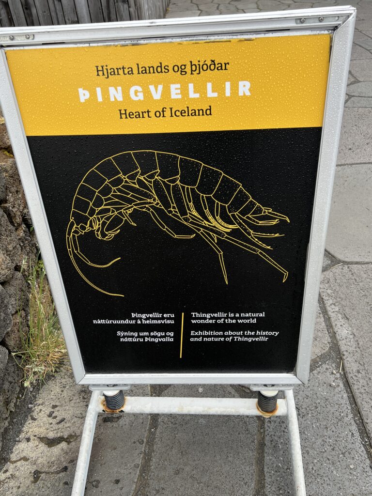
Þingvellir is notable for its unusual tectonic and volcanic environment in a rift valley.
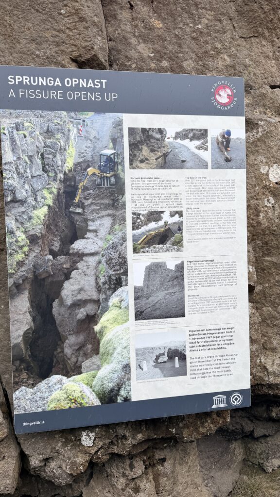
The continental drift between the North American and Eurasian Plates can be clearly seen in the cracks or faults which traverse the region, the largest one, Almannagjá, being a veritable canyon. This also causes the often measurable earthquakes in the area.
Some of the rifts are full of clear water. One, Nikulásargjá [ˈnɪːkʏˌlauːsarˌcauː], was bridged for the occasion of the visit of King Frederik VIII of Denmark in 1907. On this occasion, visitors began to throw coins from the bridge into the fissure, a tradition based on European legends. The bottom has become littered with sparkling coins, and the rift is now better known as Peningagjá [ˈpɛːniŋkaˌcauː], or “coin fissure”.
Þingvellir is situated on the northern shore of Þingvallavatn, the largest natural lake of Iceland. The river Öxará traverses the national park and forms a waterfall at the Almannagjá [ˈalˌmanːaˌcauː], called Öxarárfoss. On the lake’s northern shore, the Silfra fissure is a popular diving and snorkelling tour location.
Þingvellir was designated a UNESCO World Heritage Site based on cultural criteria. It may also qualify on geological criteria in the future, as there has been ongoing discussion of a possible “serial transboundary nomination” for the Mid-Atlantic Ridge, which would include other sites in the Atlantic such as Pico Island.
Together with the waterfall Gullfoss and the geysers of Haukadalur, Þingvellir is part of a group of the most famous sights of Iceland, the Golden Circle.
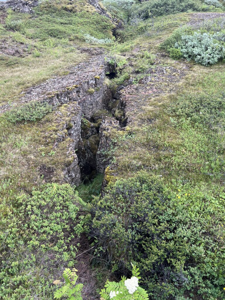
Þingvellir National Park is a unique site where the North American and Eurasian tectonic plates meet, creating a rift valley that is visible above sea level. The park is part of the Mid-Atlantic Ridge, where the plates are moving apart at approximately 2.5 centimeters per year. This movement is evident in the park’s geological features, such as the Almannagjá gorge and the Silfra fissure, which offer opportunities for snorkeling and diving in the clear waters between the plates. The park’s name, derived from the Old Norse words for “assembly” and “plains,” reflects its historical significance as the site of the Alþingi, one of the world’s oldest parliaments.
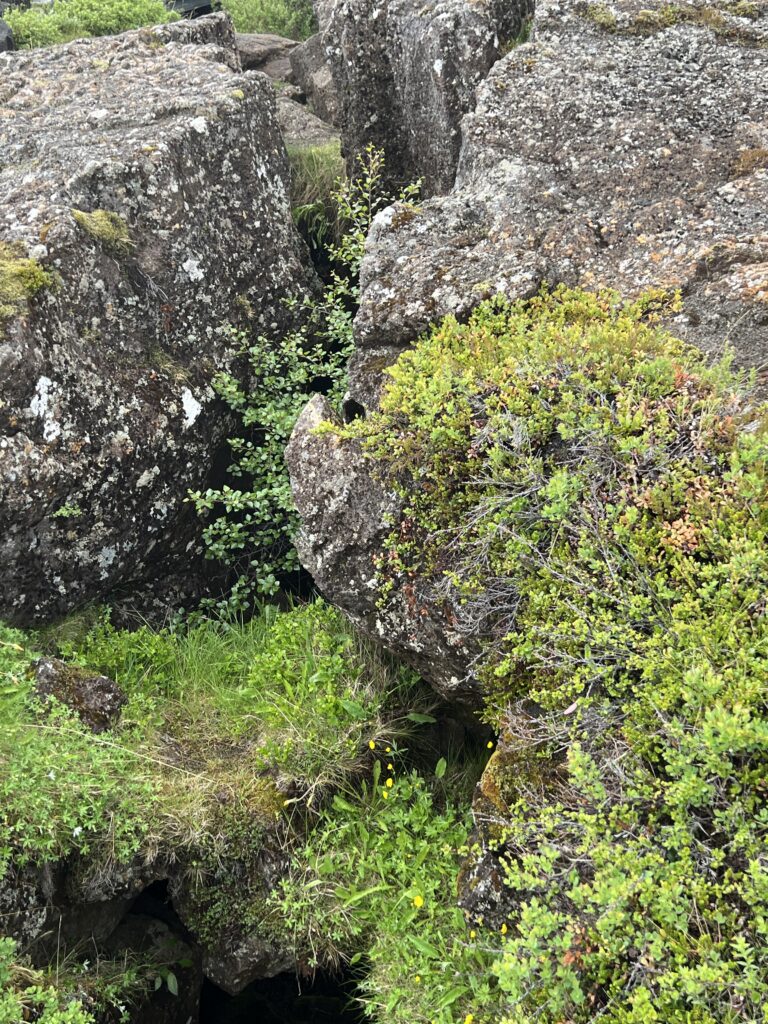
There are three tectonic plates at play in Iceland. The big two area the North American and Eurasian. Then there is one micro-tectonic plate named Hreppafleki.
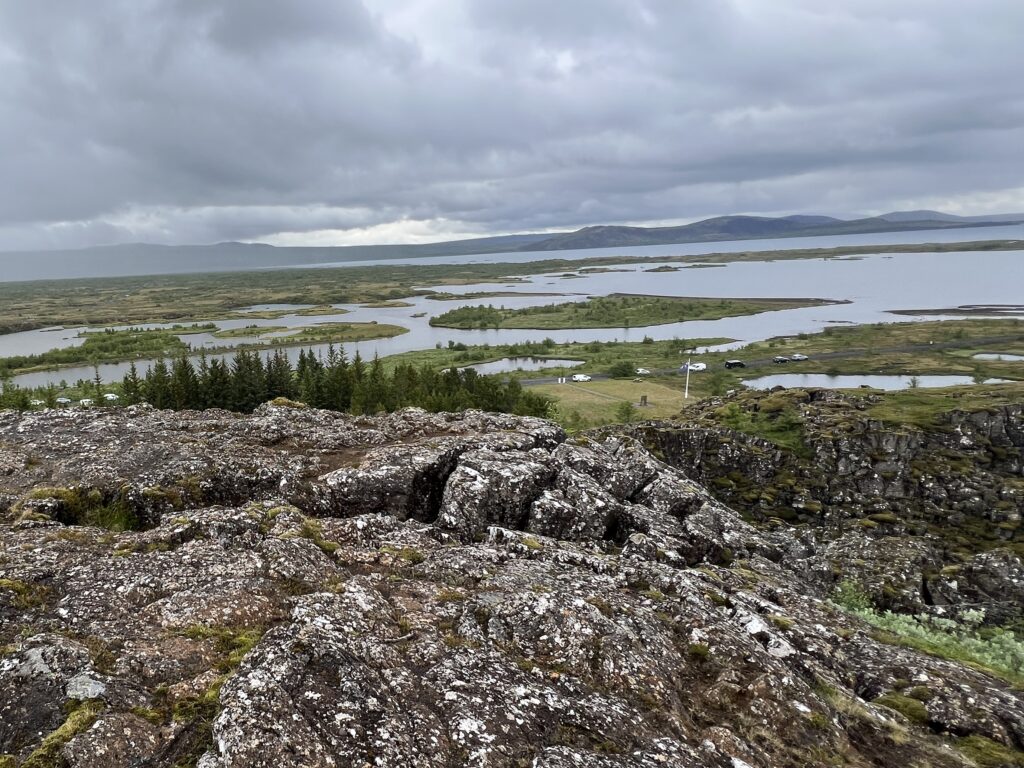
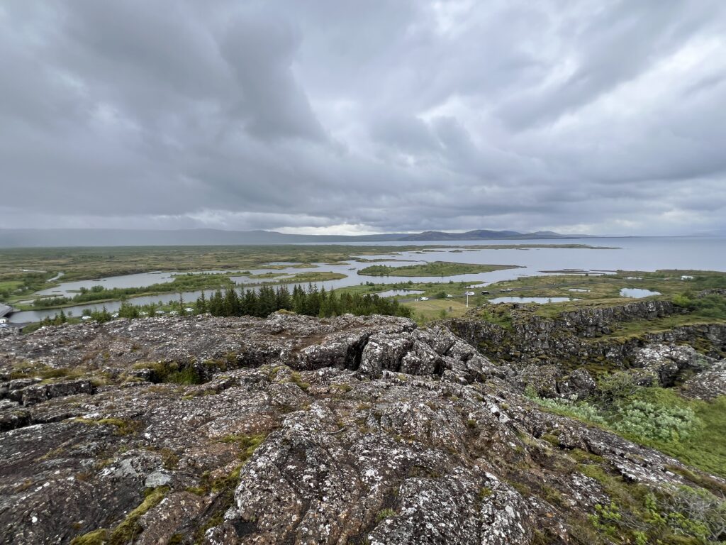
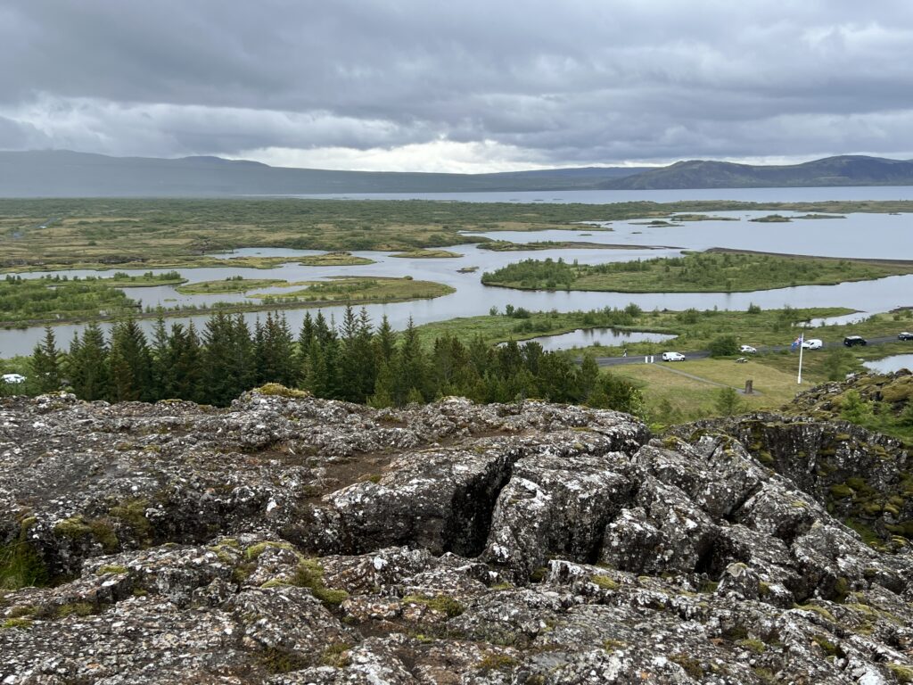
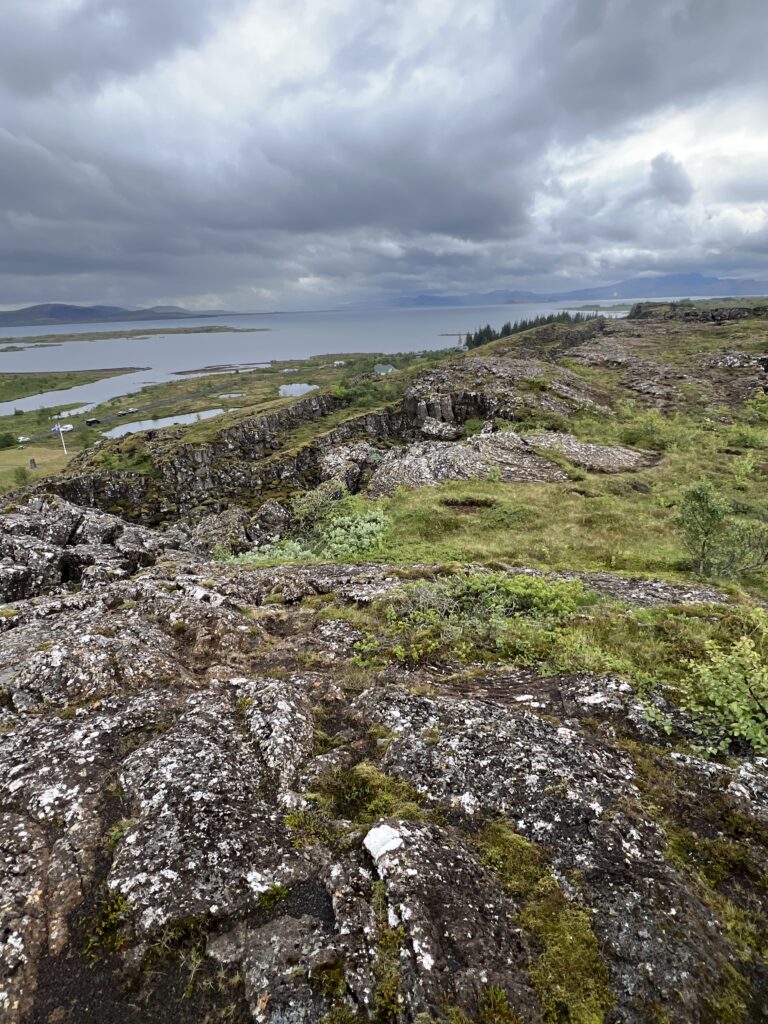
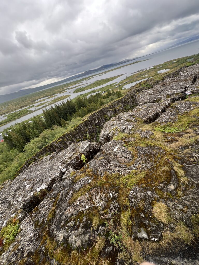
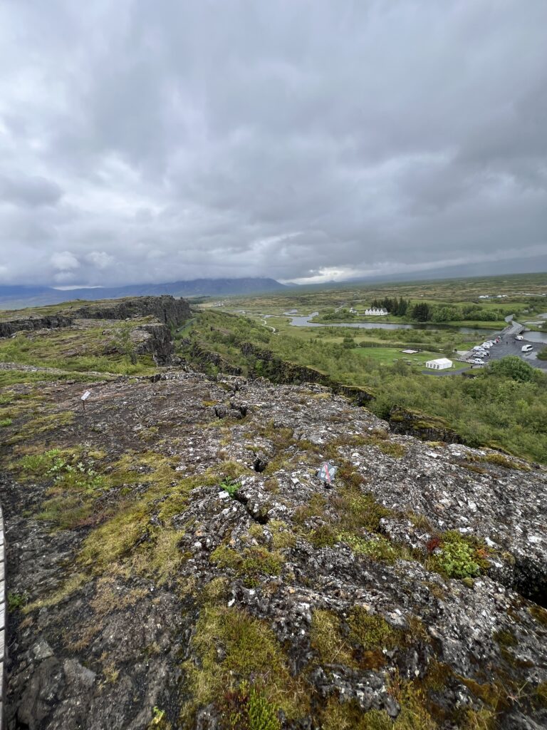
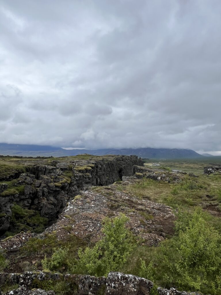
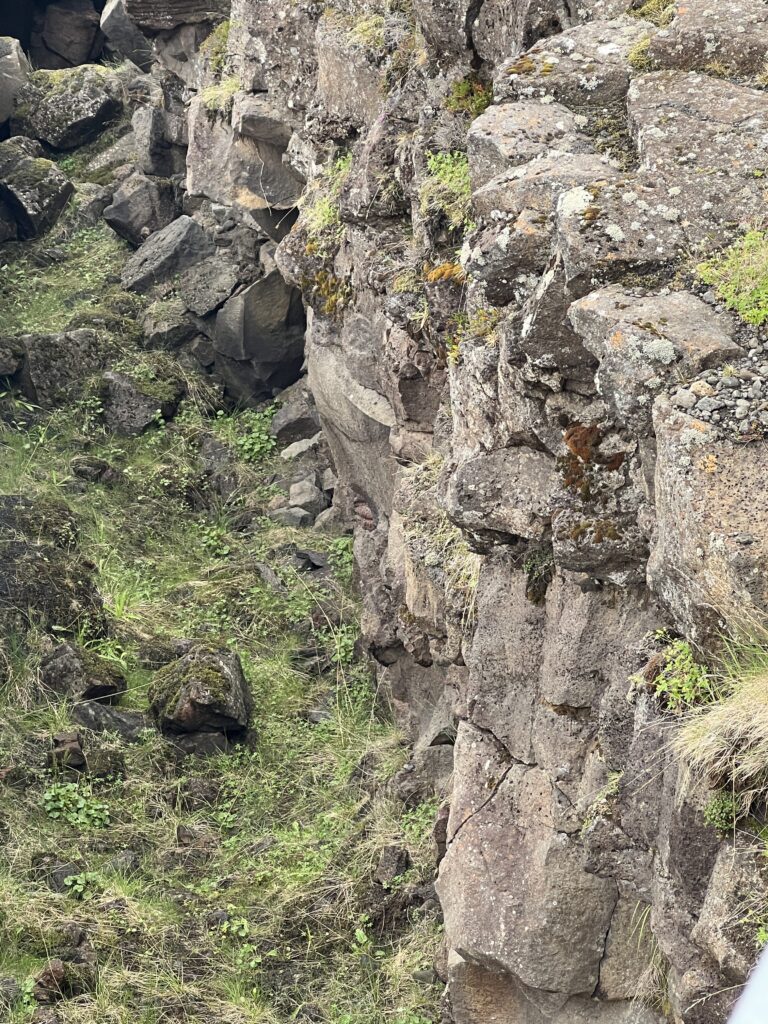
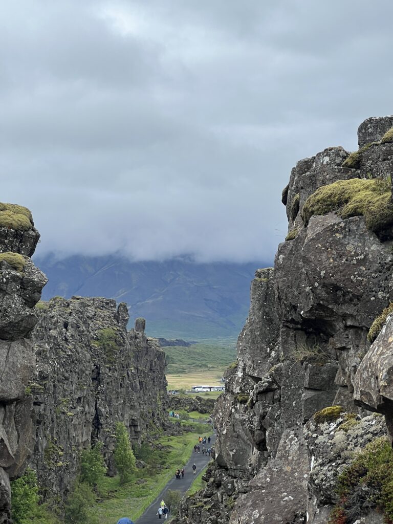
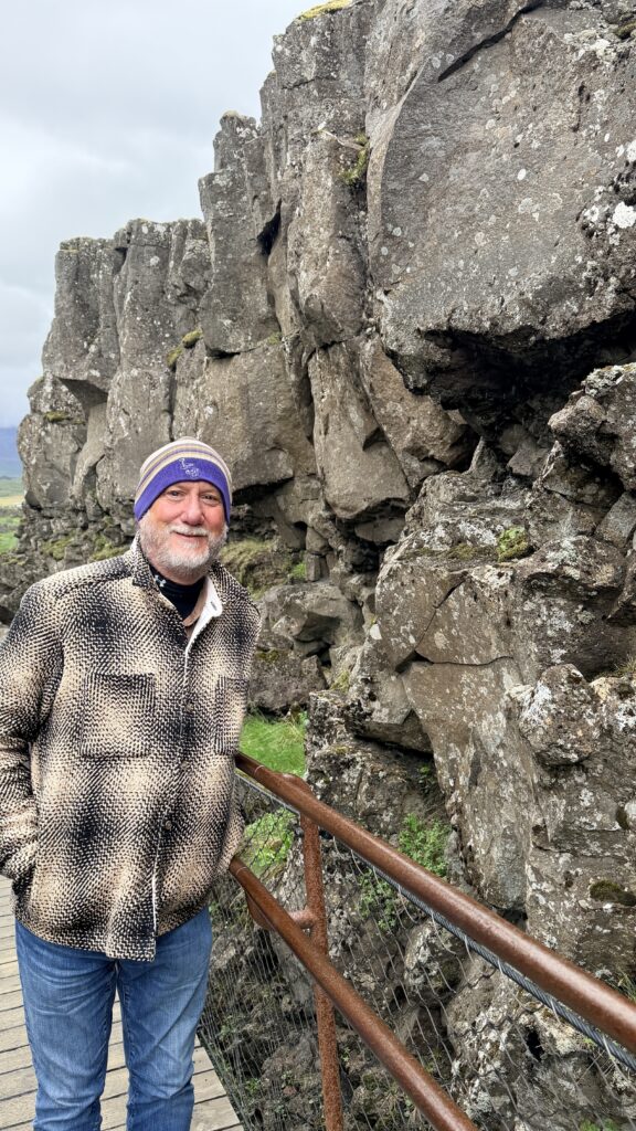
We were able to walk between the two tectonic plates
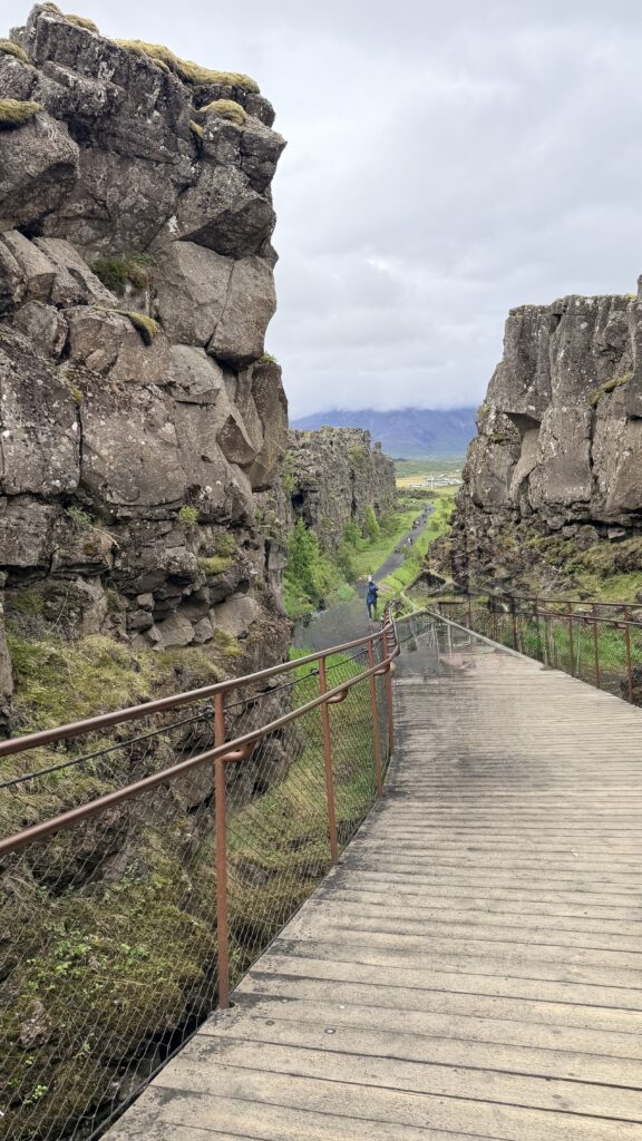
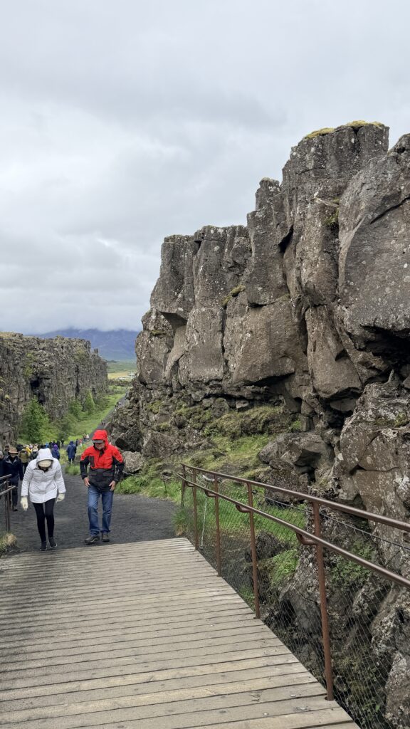
Jackie’s video walking down between the two tectonic plates. People look cold and wet….laughing
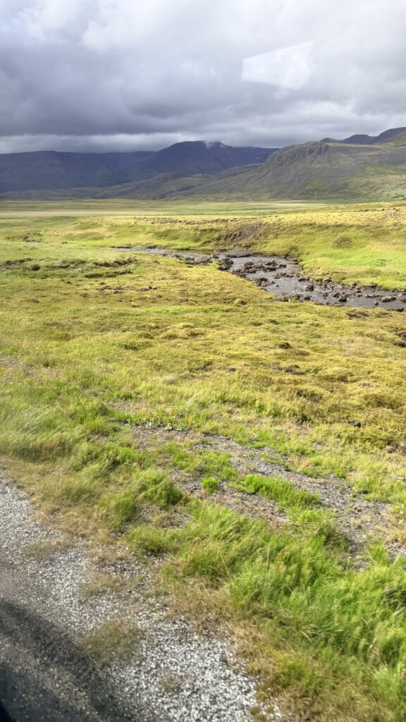
We got back to the ship around 5:30pm and wanted to go walk into the city of Reykjavik but found out that some of the spots we wanted to see were now closed. We were still wet from the rain of the day and decided just to go back on the ship, take a shower and put some dry clothes on, grab some dinner and go to sleep which was needed after the three days of touring in Iceland. Tomorrow, we start across the Atlantic heading to Halifax, Canada. It will be a first time visit to Halifax for the both of us.