
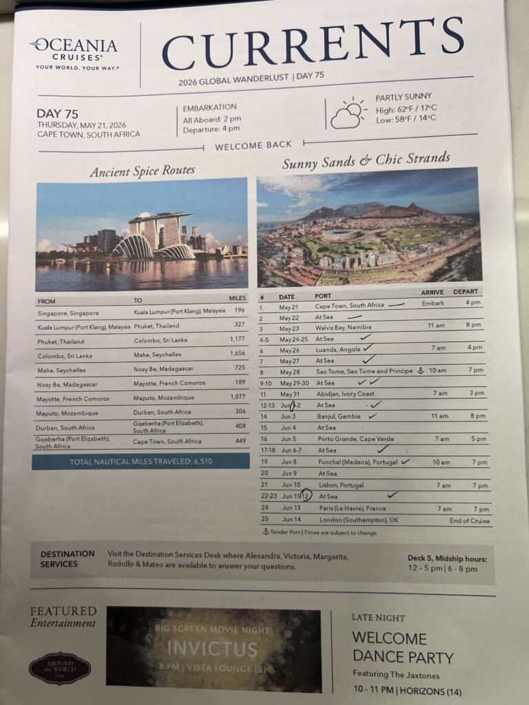
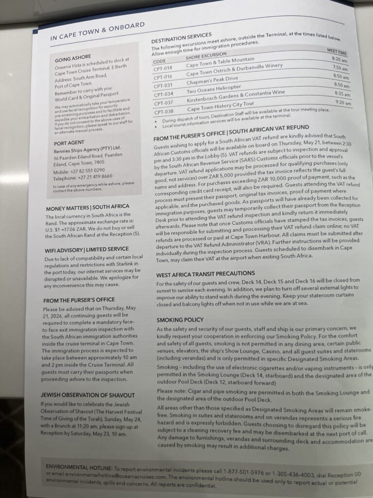
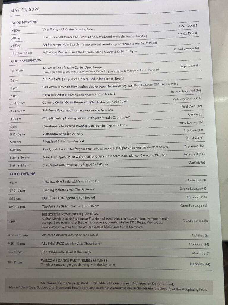
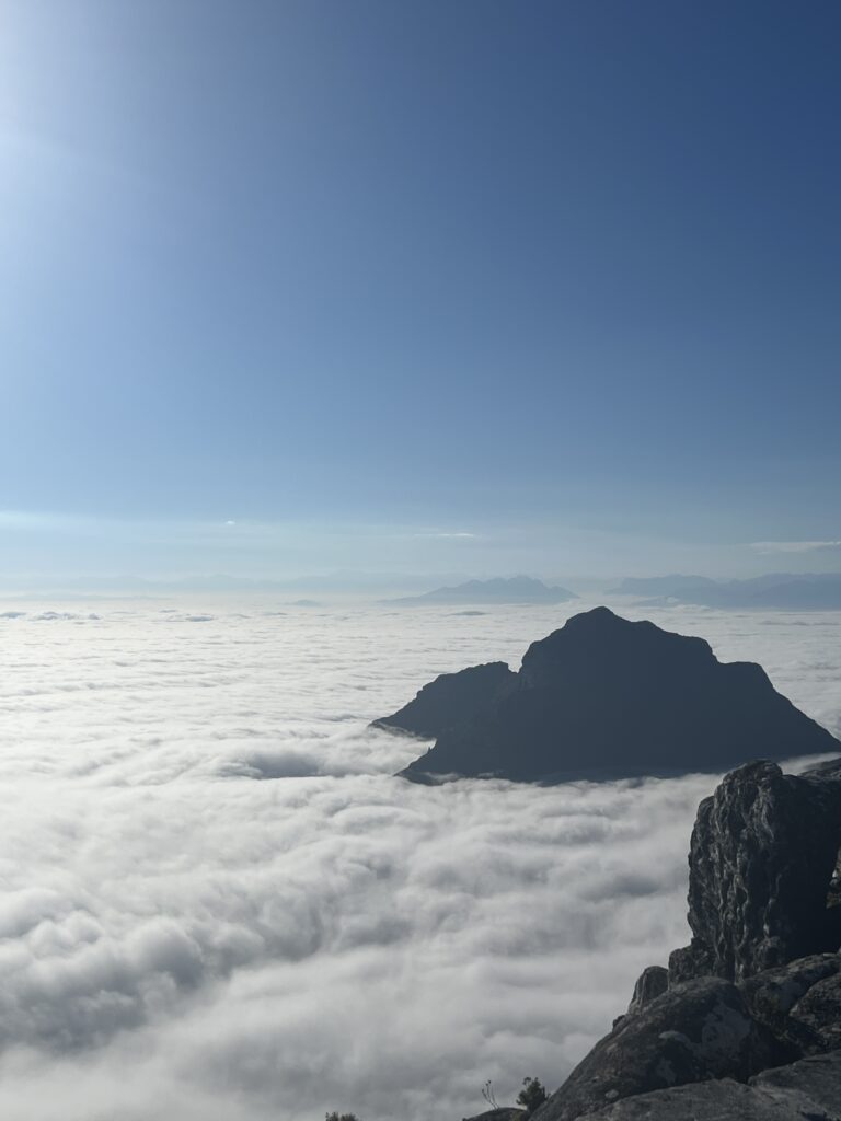
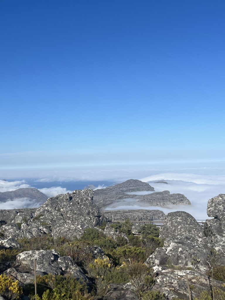
Day 75 Thursday May 21st (45 days to go) — We booked an Oceania excursion to Table Mountain for this morning. Yesterday the passengers who visited Table Mountain had spectacular views as there was not a cloud in the sky. This morning we awoke to find a cloudy day. We rode the gondola to the top of Table Mountain, but as you will see in the photos and video below, we only could see the tops of the clouds.

Some photos as we drove through Cape Town heading towards Table Mountain
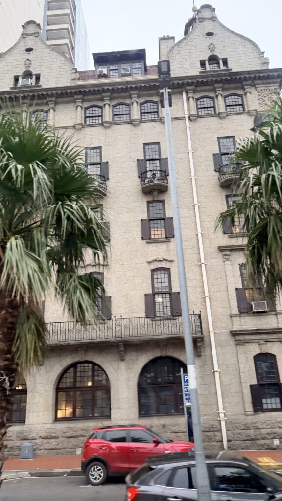
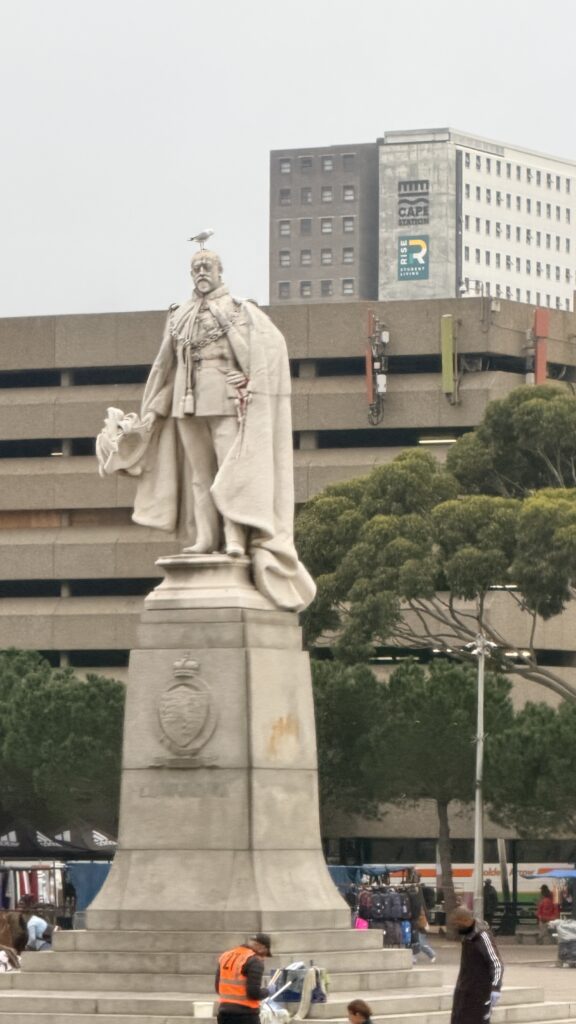
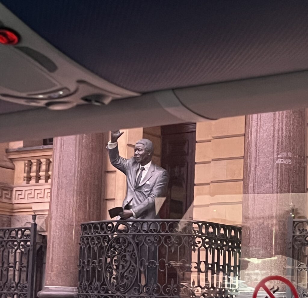
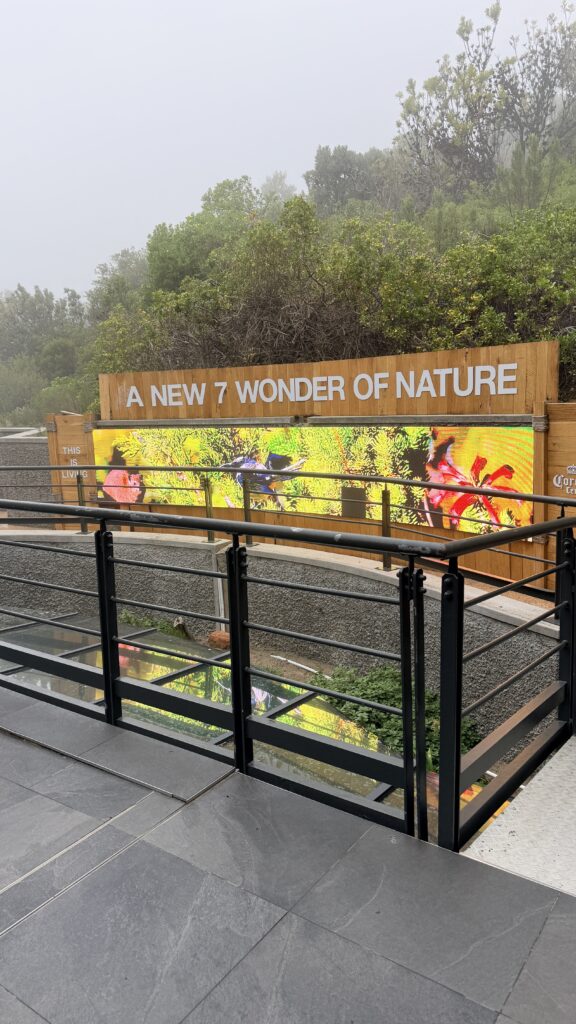
Table Mountain is Cape Town’s iconic flat-topped peak, rising 1,085 meters above the city. Designated as one of the New 7 Wonders of Nature, it is a biodiversity hotspot and a premier destination for sweeping panoramic views, hiking, and sightseeing.
You can reach the summit by hiking or taking the Table Mountain Aerial Cableway.
The Cableway Experience
If you prefer not to hike, the state-of-the-art Table Mountain Aerial Cableway is the easiest way to reach the summit.
- The Ride: Gondolas feature rotating floors, providing a 360-degree view of Cape Town and the coastline as you ascend. The trip takes about 6 minutes.
- Weather Permitting: The cableway operates conditionally; strong southeasterly winds or thick clouds (known as the “tablecloth”) can cause the cableway to close.
- Status Checks: Always check the Table Mountain Aerial Cableway live weather and operating status before heading out
Hiking the Mountain
For the adventurous, hiking provides a rewarding way to experience the mountain’s rich fynbos vegetation and indigenous forests.
- Platteklip Gorge: The most popular and direct route to the top. It is a steep, zig-zagging trail that takes roughly 2 to 3 hours to complete depending on your fitness level.
- Safety Tips: Always carry plenty of water, wear proper hiking gear, and stay on marked trails. Weather conditions can change rapidly
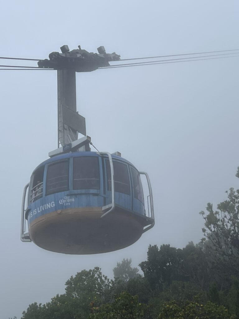
The gondola coming down in the fog to pick us up
Our view as we ascended in the fog
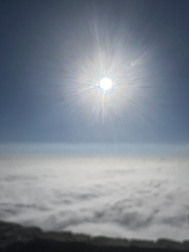
Seeing the sun as we broke through the clouds
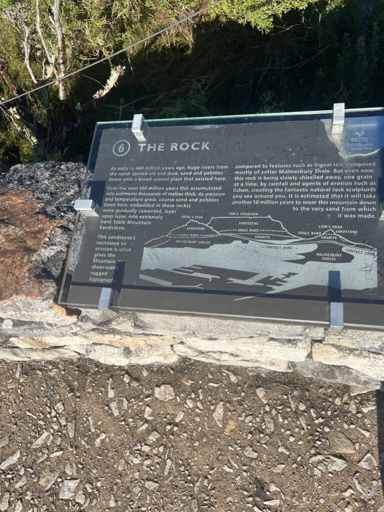
The main feature of Table Mountain is the level plateau approximately three kilometres (2 mi) from side to side, edged by steep cliffs. The plateau, flanked by Devil’s Peak to the east and by Lion’s Head to the west, forms a dramatic backdrop to Cape Town. This broad sweep of mountainous heights, together with Signal Hill, forms the natural amphitheatre of the City Bowl and Table Bay harbour. The highest point on Table Mountain is towards the eastern end of the plateau and is marked by Maclear’s Beacon, a stone cairn built in 1865 by Sir Thomas Maclear for trigonometrical survey. It is 1,086 metres (3,563 ft) above sea level, and about 19 metres (62 ft) higher than the cable station at the western end of the plateau.
The cliffs of the main plateau are split by Platteklip Gorge (“Flat Stone Gorge”), which provides an easy and direct ascent to the summit and was the route taken by António de Saldanha on the first recorded ascent of the mountain in 1503.
The flat top of the mountain is often covered by orographic clouds, formed when a southeasterly wind is directed up the mountain’s slopes into colder air, where the moisture condenses to form the so-called “table cloth” of cloud. Legend attributes this phenomenon to a smoking contest between the Devil and a local pirate called Van Hunks. When the table cloth is seen, it symbolizes the contest.
Table Mountain is at the northern end of a sandstone mountain range that forms the spine of the Cape Peninsula that terminates approximately 50 kilometres (30 mi) to the south at the Cape of Good Hope and Cape Point. Immediately to the south of Table Mountain is a rugged “plateau” at a somewhat lower elevation than the Table Mountain Plateau (at about 1,000 m or 3,300 ft), called the “Back Table”. The “Back Table” extends southwards for approximately 6 km to the Constantia Nek–Hout Bay valley. The Atlantic side of the Back Table is known as the Twelve Apostles, which extends from Kloof Nek (the saddle between Table Mountain and Lion’s Head) to Hout Bay. The eastern side of this portion of the Peninsula’s mountain chain, extending from Devil’s Peak, the eastern side of Table Mountain (Erica and Fernwood Buttresses), and the Back Table to Constantia Nek, does not have a single name, as on the western side. It is better known by the names of the conservation areas on its lower slopes: Groote Schuur Estate, Newlands Forest, Kirstenbosch Botanical Gardens, Cecilia Park, and Constantia Nek.
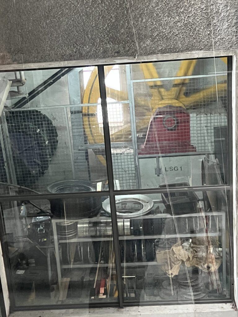
The building that houses the machines for the gondola
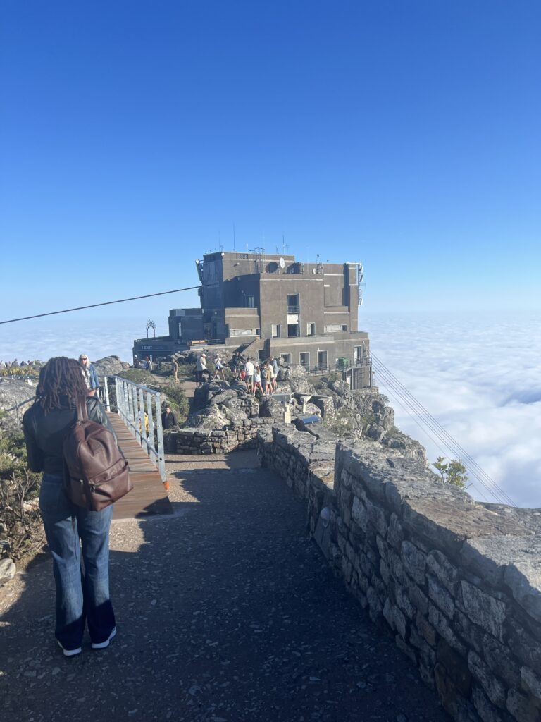
With the clouds in place there was no way to see Cape Town
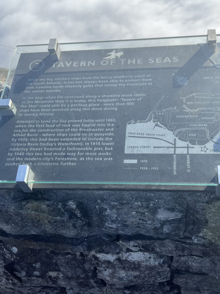
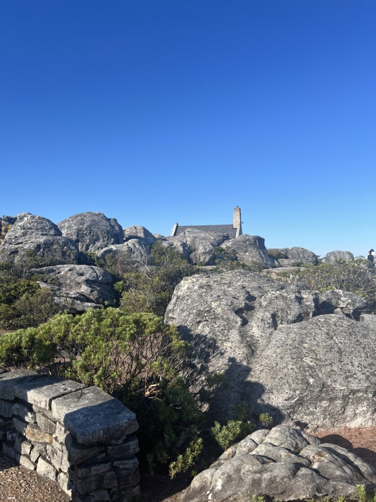
The top of the mountain has boulders but there are cemented walkways
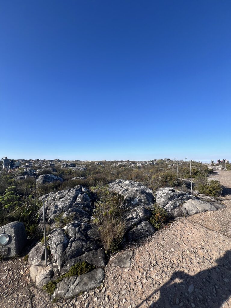
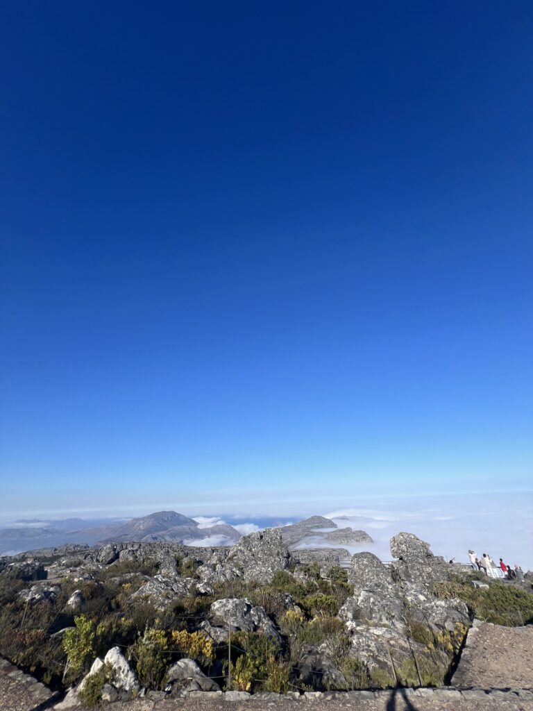
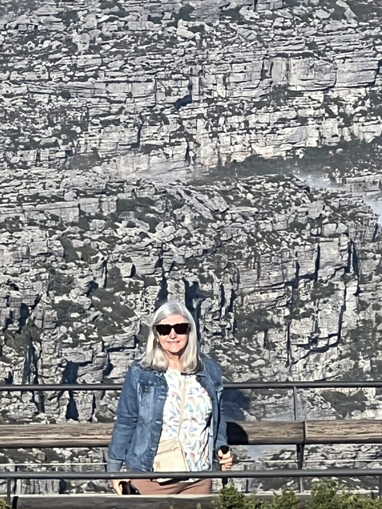
She went near the edge of the mountain to walk and I took the long way around the top 🙂
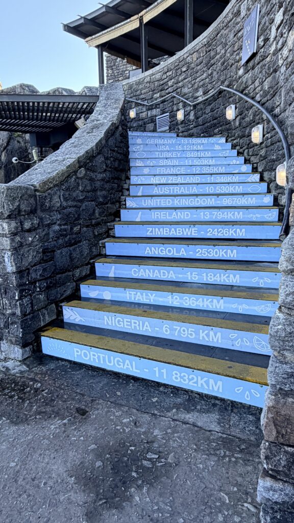
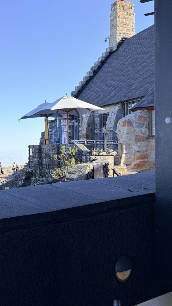
Walkway up to a restaurant and coffee shop
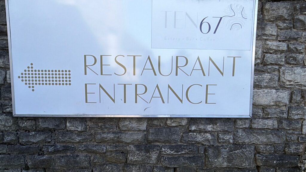
It was cool so we jumped in the restaurant to get some coffee
We headed back to the ship after the excursion ended. As we were still recovering from the overland safari excursion it was a welcome break to call it a day. We had to meet with South African authorities before 2pm and could not go back on shore after our meeting.


2 thoughts on “Day 75 May 21 – Cape Town, South Africa”
Why could you not go back on shore?
The port authorities had to meet with us face to face and then stamp our passports as exiting the country. Once the passport is stamped with an exit, you cannot be in the country so we had to return to the ship and remain there until the ship left.